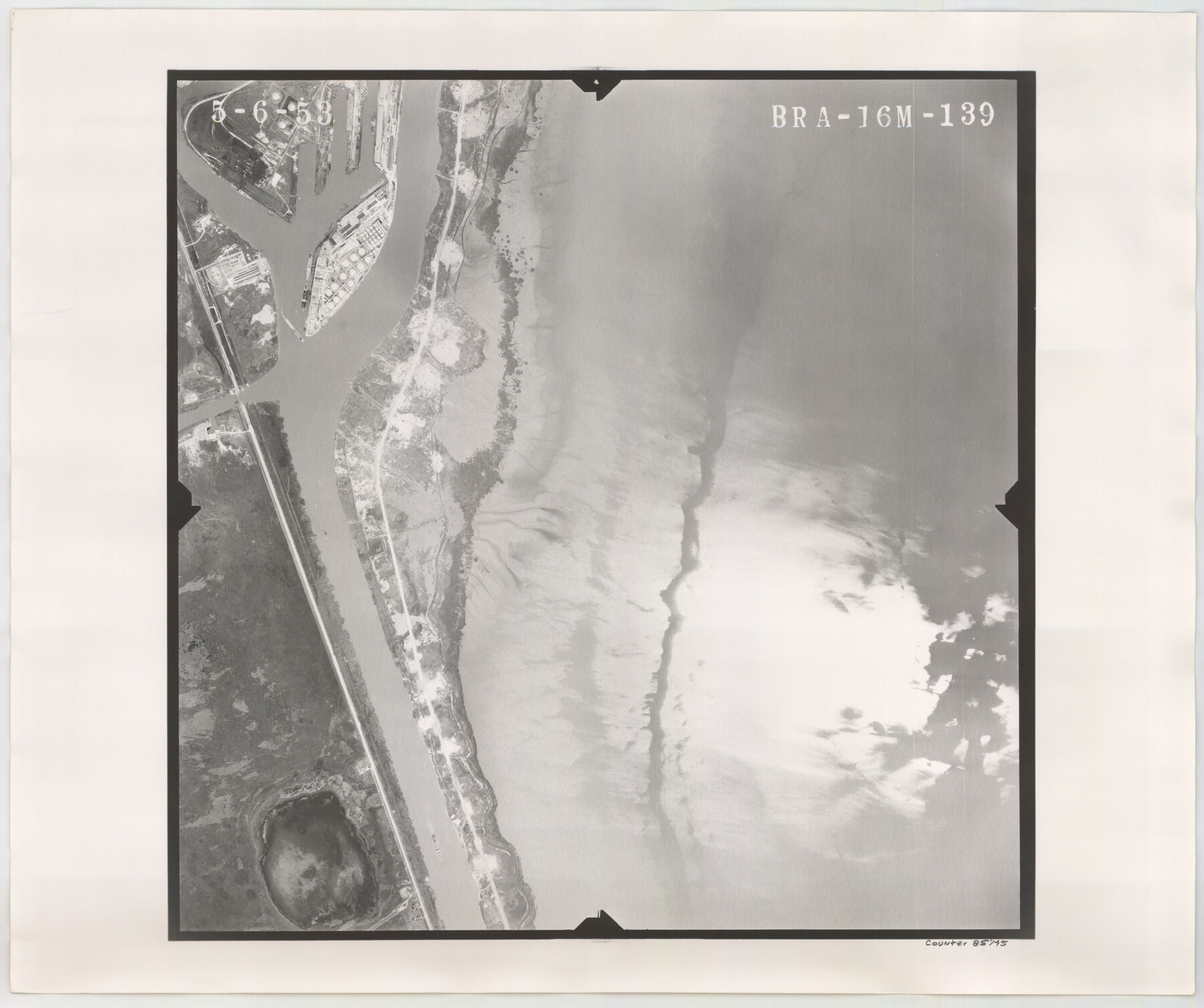
Flight Mission No. BRA-16M, Frame 139, Jefferson County
BRA-16M-139
-
Map/Doc
85745
-
Collection
General Map Collection
-
Object Dates
1953/5/6 (Creation Date)
-
People and Organizations
U. S. Department of Agriculture (Publisher)
-
Counties
Jefferson
-
Subjects
Aerial Photograph
-
Height x Width
18.6 x 22.2 inches
47.2 x 56.4 cm
-
Comments
Flown by Jack Ammann Photogrammetric Engineers of San Antonio, Texas.
Part of: General Map Collection
Orange County Working Sketch 29

Print $40.00
- Digital $50.00
Orange County Working Sketch 29
1953
Size 32.9 x 50.0 inches
Map/Doc 71361
[Sketch for Mineral Application 27670 - Strip between Simon Sanchez leagues and Trinity River]
![65646, [Sketch for Mineral Application 27670 - Strip between Simon Sanchez leagues and Trinity River], General Map Collection](https://historictexasmaps.com/wmedia_w700/maps/65646.tif.jpg)
Print $40.00
- Digital $50.00
[Sketch for Mineral Application 27670 - Strip between Simon Sanchez leagues and Trinity River]
Size 55.5 x 17.8 inches
Map/Doc 65646
Parker County Sketch File 28

Print $6.00
- Digital $50.00
Parker County Sketch File 28
1876
Size 15.7 x 10.2 inches
Map/Doc 33568
Duval County Sketch File 70

Print $4.00
- Digital $50.00
Duval County Sketch File 70
1953
Size 14.2 x 9.0 inches
Map/Doc 21456

Nueces County NRC Article 33.136 Sketch 18

Print $74.00
- Digital $50.00
Nueces County NRC Article 33.136 Sketch 18
2014
Size 22.0 x 34.0 inches
Map/Doc 94714
Coke County Rolled Sketch 24

Print $20.00
- Digital $50.00
Coke County Rolled Sketch 24
Size 35.8 x 33.8 inches
Map/Doc 8633
Montague County Working Sketch 17

Print $20.00
- Digital $50.00
Montague County Working Sketch 17
1947
Size 22.1 x 30.0 inches
Map/Doc 71083
Eastland County Rolled Sketch 25

Print $20.00
- Digital $50.00
Eastland County Rolled Sketch 25
1990
Size 36.9 x 47.7 inches
Map/Doc 8831
Howard County Working Sketch 10

Print $20.00
- Digital $50.00
Howard County Working Sketch 10
1962
Size 24.4 x 26.1 inches
Map/Doc 66278
Hutchinson County Rolled Sketch 44-14

Print $20.00
- Digital $50.00
Hutchinson County Rolled Sketch 44-14
2002
Size 24.0 x 36.0 inches
Map/Doc 77550
Rockwall County Boundary File 9a

Print $4.00
- Digital $50.00
Rockwall County Boundary File 9a
Size 14.0 x 8.8 inches
Map/Doc 58437
You may also like
Eastland County Working Sketch 35

Print $20.00
- Digital $50.00
Eastland County Working Sketch 35
1962
Size 24.0 x 21.6 inches
Map/Doc 68816

[Sketch for Mineral Application 13441 - Trinity River, Miller's Lake, Charlotte Lake, Florence Dunn]
![65657, [Sketch for Mineral Application 13441 - Trinity River, Miller's Lake, Charlotte Lake, Florence Dunn], General Map Collection](https://historictexasmaps.com/wmedia_w700/maps/65657.tif.jpg)
Print $40.00
- Digital $50.00
[Sketch for Mineral Application 13441 - Trinity River, Miller's Lake, Charlotte Lake, Florence Dunn]
1925
Size 104.1 x 43.3 inches
Map/Doc 65657
Schleicher County Working Sketch 11

Print $20.00
- Digital $50.00
Schleicher County Working Sketch 11
1924
Size 18.9 x 13.8 inches
Map/Doc 63813
Upton County Working Sketch 37

Print $20.00
- Digital $50.00
Upton County Working Sketch 37
1957
Size 41.1 x 36.9 inches
Map/Doc 69533
Midland County Sketch File 1

Print $20.00
- Digital $50.00
Midland County Sketch File 1
1886
Size 25.7 x 16.1 inches
Map/Doc 12079
Map of Hale County, Texas

Print $2.00
- Digital $50.00
Map of Hale County, Texas
1903
Size 9.2 x 11.6 inches
Map/Doc 90698
Right of Way and Track Map International & Gt. Northern Ry. operated by the International & Gt. Northern Ry. Co., Columbia Branch, Gulf Division

Print $40.00
- Digital $50.00
Right of Way and Track Map International & Gt. Northern Ry. operated by the International & Gt. Northern Ry. Co., Columbia Branch, Gulf Division
1917
Size 25.1 x 56.5 inches
Map/Doc 64598
Refugio County Boundary File 4

Print $28.00
- Digital $50.00
Refugio County Boundary File 4
Size 14.0 x 8.8 inches
Map/Doc 58251
Andrews County Working Sketch 6

Print $20.00
- Digital $50.00
Andrews County Working Sketch 6
1954
Size 18.4 x 42.9 inches
Map/Doc 67052
Polk County Working Sketch 18

Print $20.00
- Digital $50.00
Polk County Working Sketch 18
1949
Size 25.4 x 23.3 inches
Map/Doc 71633
Hardeman County Rolled Sketch 24

Print $20.00
- Digital $50.00
Hardeman County Rolled Sketch 24
1959
Size 26.8 x 32.2 inches
Map/Doc 6074