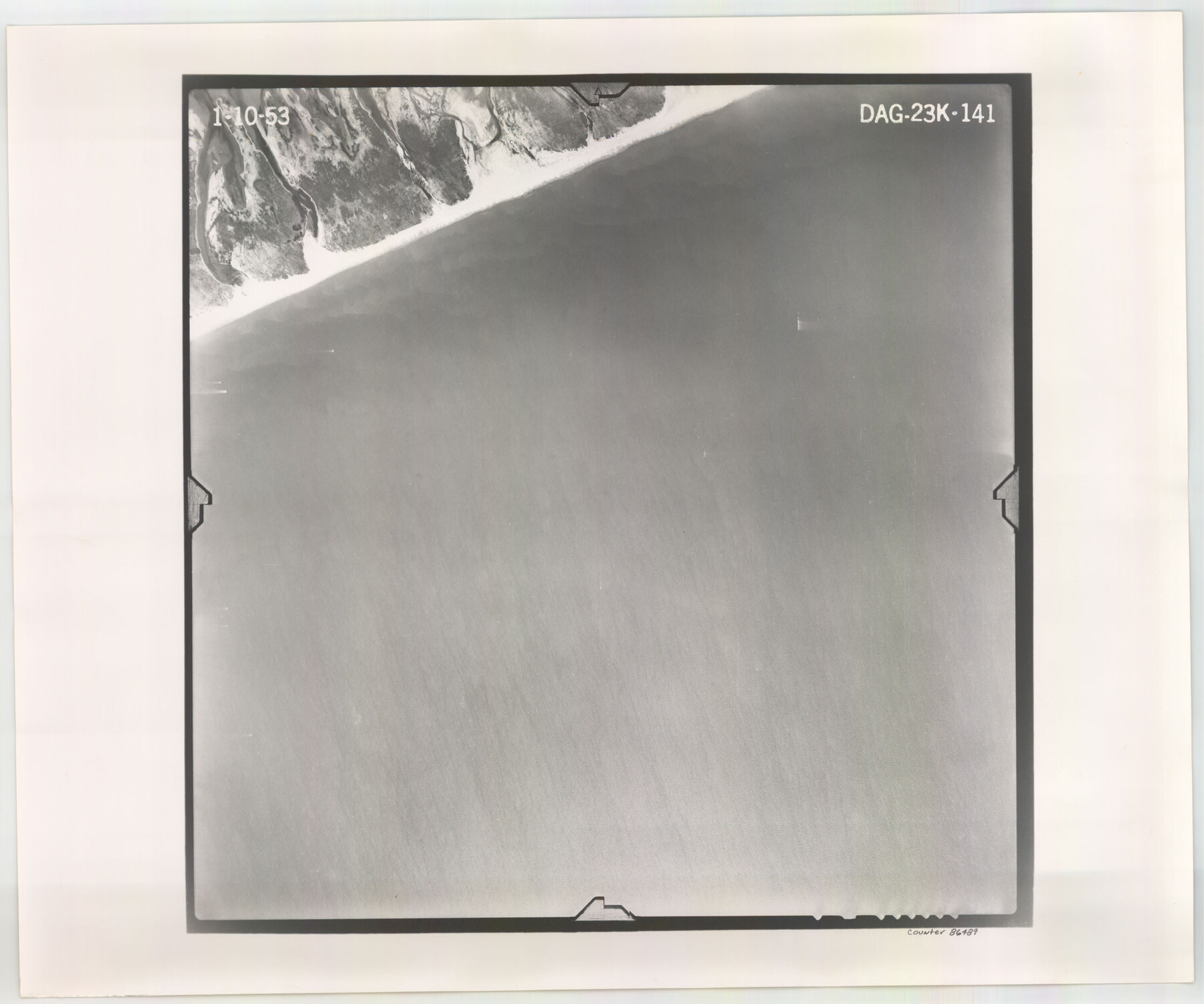
Flight Mission No. DAG-23K, Frame 141, Matagorda County
DAG-23K-141
-
Map/Doc
86489
-
Collection
General Map Collection
-
Object Dates
1953/1/10 (Creation Date)
-
People and Organizations
U. S. Department of Agriculture (Publisher)
-
Counties
Matagorda
-
Subjects
Aerial Photograph
-
Height x Width
18.7 x 22.4 inches
47.5 x 56.9 cm
-
Comments
Flown by Aero Exploration Company of Tulsa, Oklahoma.
Part of: General Map Collection
Leon County Sketch File 20

Print $6.00
- Digital $50.00
Leon County Sketch File 20
Size 10.6 x 10.0 inches
Map/Doc 29770
Blanco County Working Sketch 14

Print $20.00
- Digital $50.00
Blanco County Working Sketch 14
1948
Size 36.2 x 28.8 inches
Map/Doc 67374
Erath County Working Sketch 11

Print $20.00
- Digital $50.00
Erath County Working Sketch 11
1951
Size 45.1 x 36.2 inches
Map/Doc 69092

Tarrant County Boundary File 1

Print $20.00
- Digital $50.00
Tarrant County Boundary File 1
Size 9.2 x 34.6 inches
Map/Doc 59110
Harris County Rolled Sketch P57

Print $20.00
- Digital $50.00
Harris County Rolled Sketch P57
1929
Size 29.6 x 37.5 inches
Map/Doc 9118
Map of the East Part of Tom Green County

Print $20.00
- Digital $50.00
Map of the East Part of Tom Green County
1894
Size 21.5 x 23.1 inches
Map/Doc 4083
[Map Showing Location and Right of Way of Proposed Groins]
![73623, [Map Showing Location and Right of Way of Proposed Groins], General Map Collection](https://historictexasmaps.com/wmedia_w700/maps/73623-1.tif.jpg)
Print $4.00
- Digital $50.00
[Map Showing Location and Right of Way of Proposed Groins]
Size 13.4 x 24.4 inches
Map/Doc 73623
Coke County Boundary File 4

Print $44.00
- Digital $50.00
Coke County Boundary File 4
Size 14.3 x 8.7 inches
Map/Doc 51593
Map showing the fortification at Point Isabel

Print $20.00
- Digital $50.00
Map showing the fortification at Point Isabel
1864
Size 18.3 x 27.9 inches
Map/Doc 72921
Map of Cherokee County

Print $20.00
- Digital $50.00
Map of Cherokee County
1851
Size 24.6 x 18.3 inches
Map/Doc 3386
Howard County Boundary File 2b

Print $8.00
- Digital $50.00
Howard County Boundary File 2b
Size 11.4 x 8.8 inches
Map/Doc 55122
You may also like
Fort Bend County Rolled Sketch 7

Print $20.00
- Digital $50.00
Fort Bend County Rolled Sketch 7
1919
Size 21.1 x 24.0 inches
Map/Doc 5898
Floyd County Sketch File 32

Print $8.00
- Digital $50.00
Floyd County Sketch File 32
1952
Size 14.3 x 8.9 inches
Map/Doc 22792
Coast Chart No. 210 Aransas Pass and Corpus Christi Bay with the coast to latitude 27° 12' Texas

Print $20.00
- Digital $50.00
Coast Chart No. 210 Aransas Pass and Corpus Christi Bay with the coast to latitude 27° 12' Texas
1887
Size 27.5 x 18.3 inches
Map/Doc 72787
Aransas County NRC Article 33.136 Location Key Sheet

Print $20.00
- Digital $50.00
Aransas County NRC Article 33.136 Location Key Sheet
1979
Size 27.0 x 23.0 inches
Map/Doc 77006
Flight Mission No. CUG-1P, Frame 103, Kleberg County

Print $20.00
- Digital $50.00
Flight Mission No. CUG-1P, Frame 103, Kleberg County
1956
Size 18.5 x 22.6 inches
Map/Doc 86153
Lane Estate Ranch, Gaines County, Texas

Print $20.00
- Digital $50.00
Lane Estate Ranch, Gaines County, Texas
1954
Size 9.1 x 20.8 inches
Map/Doc 92677
Map of Sabine County

Print $20.00
- Digital $50.00
Map of Sabine County
1896
Size 25.8 x 17.9 inches
Map/Doc 63012
Goliad County Sketch File 35

Print $20.00
- Digital $50.00
Goliad County Sketch File 35
1924
Size 22.8 x 27.6 inches
Map/Doc 11570
La Salle County Sketch File 30

Print $22.00
- Digital $50.00
La Salle County Sketch File 30
1880
Size 12.6 x 8.2 inches
Map/Doc 29565
United States - Gulf Coast Texas - Northern part of Laguna Madre

Print $20.00
- Digital $50.00
United States - Gulf Coast Texas - Northern part of Laguna Madre
1941
Size 26.7 x 18.4 inches
Map/Doc 72933
Rockwall County Sketch File 8

Print $4.00
Rockwall County Sketch File 8
Size 7.1 x 10.6 inches
Map/Doc 35429
Dickens County

Print $20.00
- Digital $50.00
Dickens County
1891
Size 24.5 x 20.2 inches
Map/Doc 4533