[Map Showing Location and Right of Way of Proposed Groins]
Galveston Miscellaneous 16
-
Map/Doc
73623
-
Collection
General Map Collection
-
Counties
Galveston
-
Subjects
City
-
Height x Width
13.4 x 24.4 inches
34.0 x 62.0 cm
-
Comments
Xerox copy
Part of: General Map Collection
Zavala County Sketch File A1


Print $31.00
- Digital $50.00
Zavala County Sketch File A1
1899
Size 23.5 x 28.6 inches
Map/Doc 12735
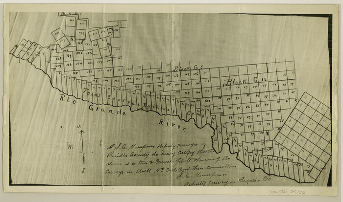
Presidio County Sketch File 78

Print $6.00
- Digital $50.00
Presidio County Sketch File 78
Size 8.4 x 14.3 inches
Map/Doc 34706
Wise County Sketch File 42


Print $4.00
- Digital $50.00
Wise County Sketch File 42
1876
Size 8.0 x 6.5 inches
Map/Doc 40601
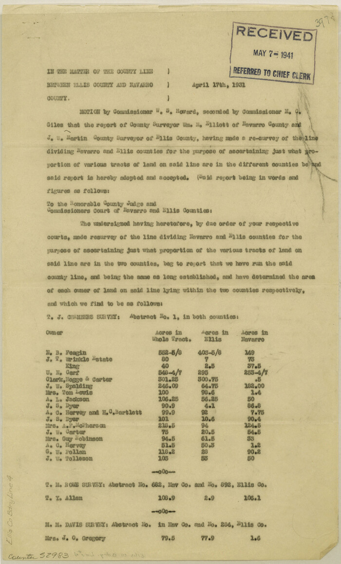
Ellis County Boundary File 4

Print $14.00
- Digital $50.00
Ellis County Boundary File 4
Size 14.2 x 8.6 inches
Map/Doc 52983
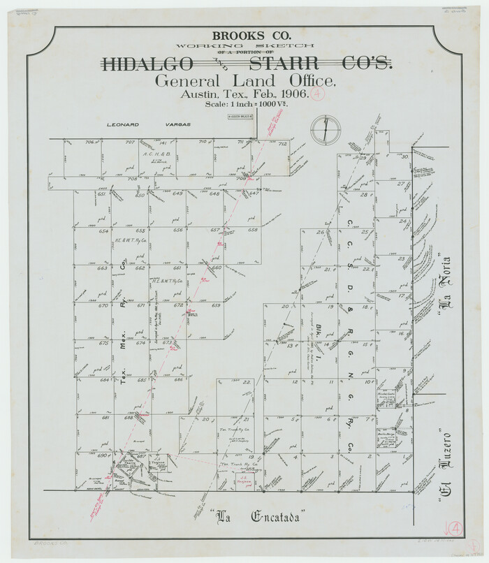
Brooks County Working Sketch 4

Print $20.00
- Digital $50.00
Brooks County Working Sketch 4
1906
Size 28.6 x 24.9 inches
Map/Doc 67788
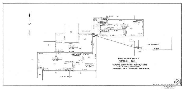
Kimble County Working Sketch 58

Print $20.00
- Digital $50.00
Kimble County Working Sketch 58
1959
Size 12.8 x 26.4 inches
Map/Doc 70126
Angelina County Working Sketch 36
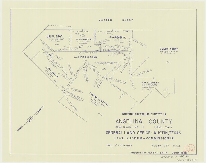

Print $20.00
- Digital $50.00
Angelina County Working Sketch 36
1957
Size 14.4 x 18.3 inches
Map/Doc 67119
Brewster County Rolled Sketch 128
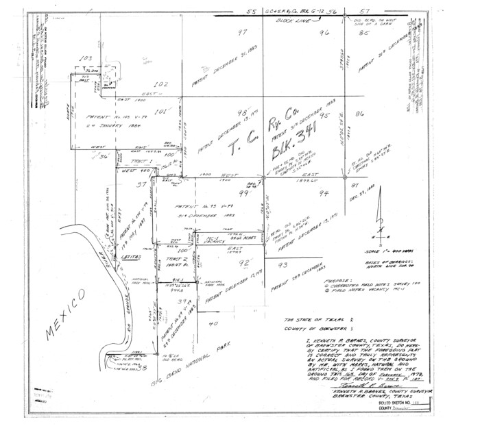

Print $20.00
- Digital $50.00
Brewster County Rolled Sketch 128
1978
Size 24.9 x 28.0 inches
Map/Doc 5300
Caldwell County Working Sketch 8


Print $20.00
- Digital $50.00
Caldwell County Working Sketch 8
1964
Size 29.1 x 22.8 inches
Map/Doc 67838
Kleberg County Rolled Sketch 5A


Print $20.00
- Digital $50.00
Kleberg County Rolled Sketch 5A
Size 31.0 x 25.1 inches
Map/Doc 6549
El Paso County Rolled Sketch 65
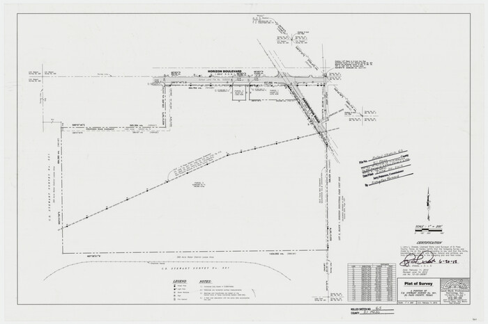

Print $20.00
- Digital $50.00
El Paso County Rolled Sketch 65
2012
Size 24.5 x 36.8 inches
Map/Doc 93327
Galveston County NRC Article 33.136 Sketch 58


Print $26.00
- Digital $50.00
Galveston County NRC Article 33.136 Sketch 58
2009
Size 12.0 x 17.6 inches
Map/Doc 94592
You may also like
Presidio County Sketch File 91
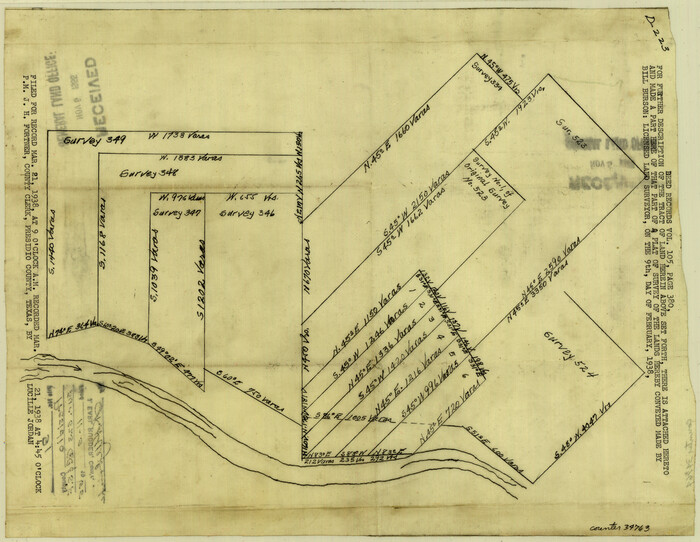

Print $40.00
- Digital $50.00
Presidio County Sketch File 91
Size 12.3 x 15.9 inches
Map/Doc 34763
Uvalde County Working Sketch 38


Print $20.00
- Digital $50.00
Uvalde County Working Sketch 38
1970
Size 33.3 x 30.8 inches
Map/Doc 72108
Chart of Aransas Harbor
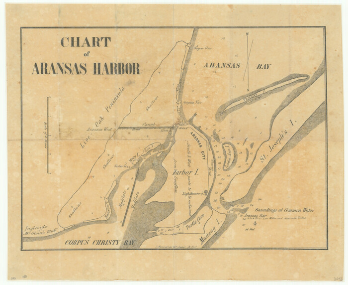

Print $20.00
Chart of Aransas Harbor
1859
Size 14.2 x 17.4 inches
Map/Doc 76292
Map of Parker County
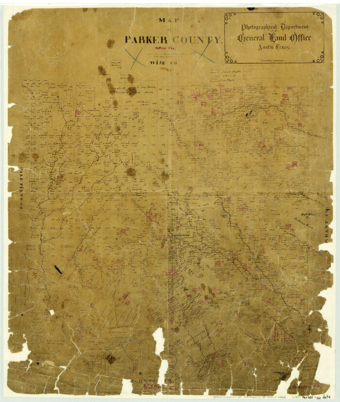

Print $20.00
- Digital $50.00
Map of Parker County
1871
Size 20.1 x 17.0 inches
Map/Doc 3944
Van Zandt County Sketch File 16a
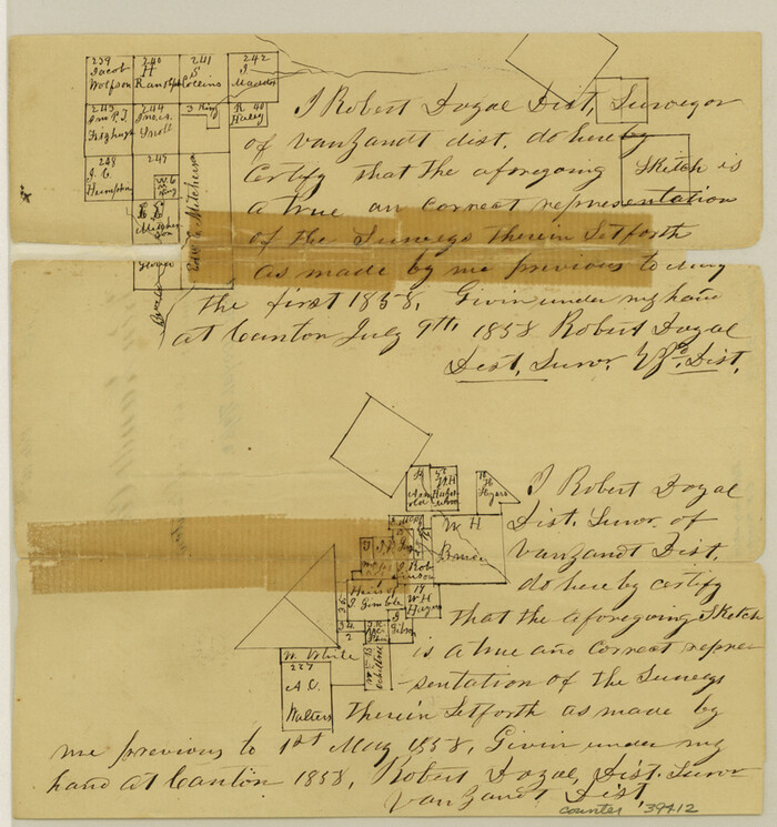

Print $4.00
- Digital $50.00
Van Zandt County Sketch File 16a
1858
Size 8.5 x 8.0 inches
Map/Doc 39412
Flight Mission No. DCL-7C, Frame 46, Kenedy County
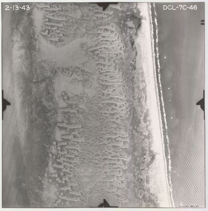

Print $20.00
- Digital $50.00
Flight Mission No. DCL-7C, Frame 46, Kenedy County
1943
Size 15.4 x 15.3 inches
Map/Doc 86034
Tyler County Boundary File 89
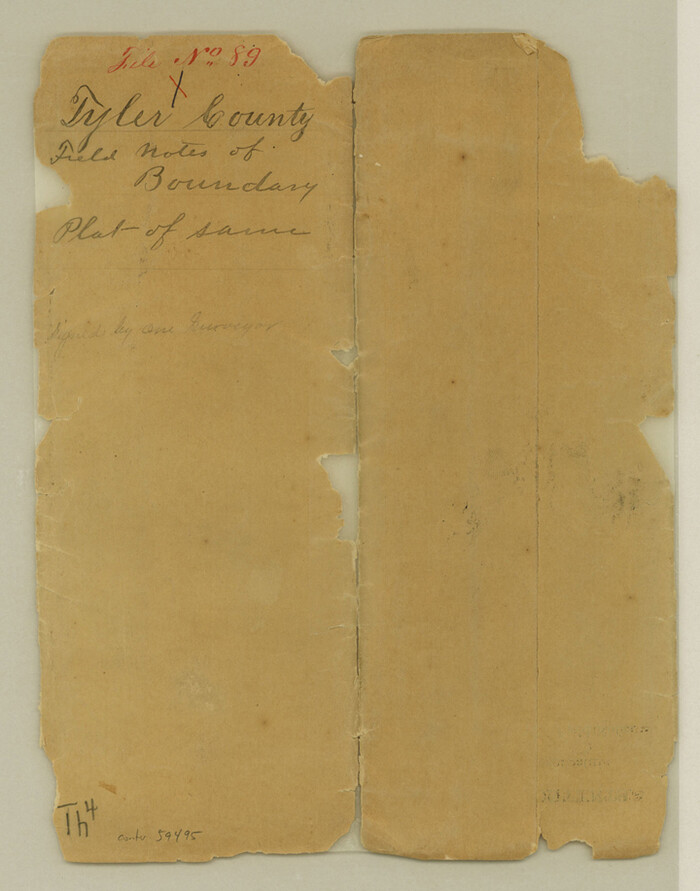

Print $28.00
- Digital $50.00
Tyler County Boundary File 89
Size 9.2 x 7.2 inches
Map/Doc 59495
Rand McNally Standard Map of Texas
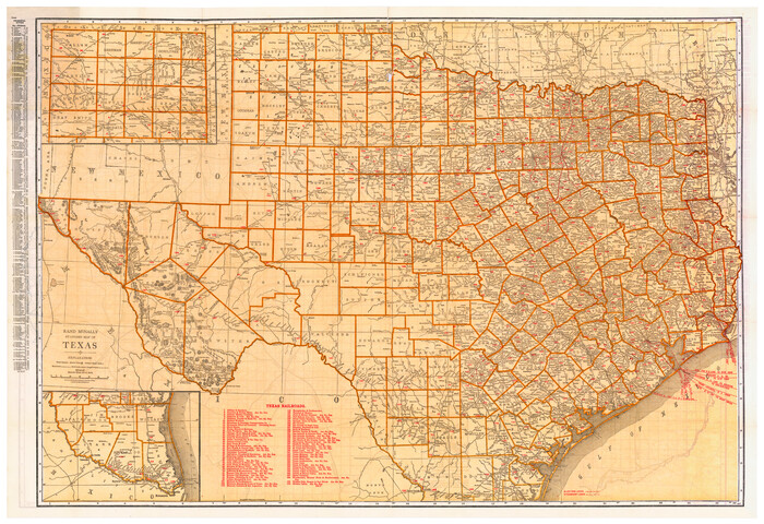

Print $20.00
- Digital $50.00
Rand McNally Standard Map of Texas
1921
Size 27.7 x 40.4 inches
Map/Doc 95853
Kleberg County Rolled Sketch 10-33
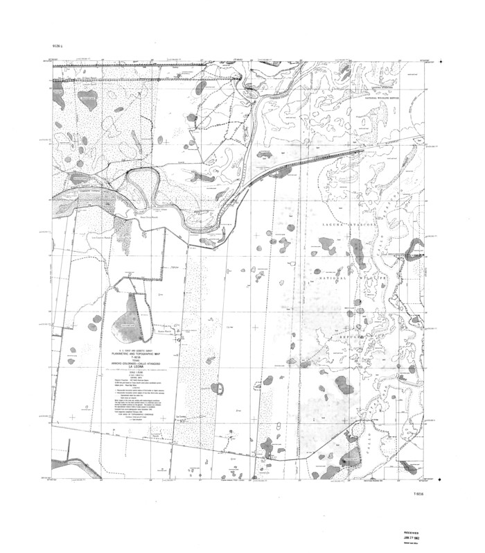

Print $20.00
- Digital $50.00
Kleberg County Rolled Sketch 10-33
1950
Size 36.5 x 32.1 inches
Map/Doc 9393
Gaines County Working Sketch 10
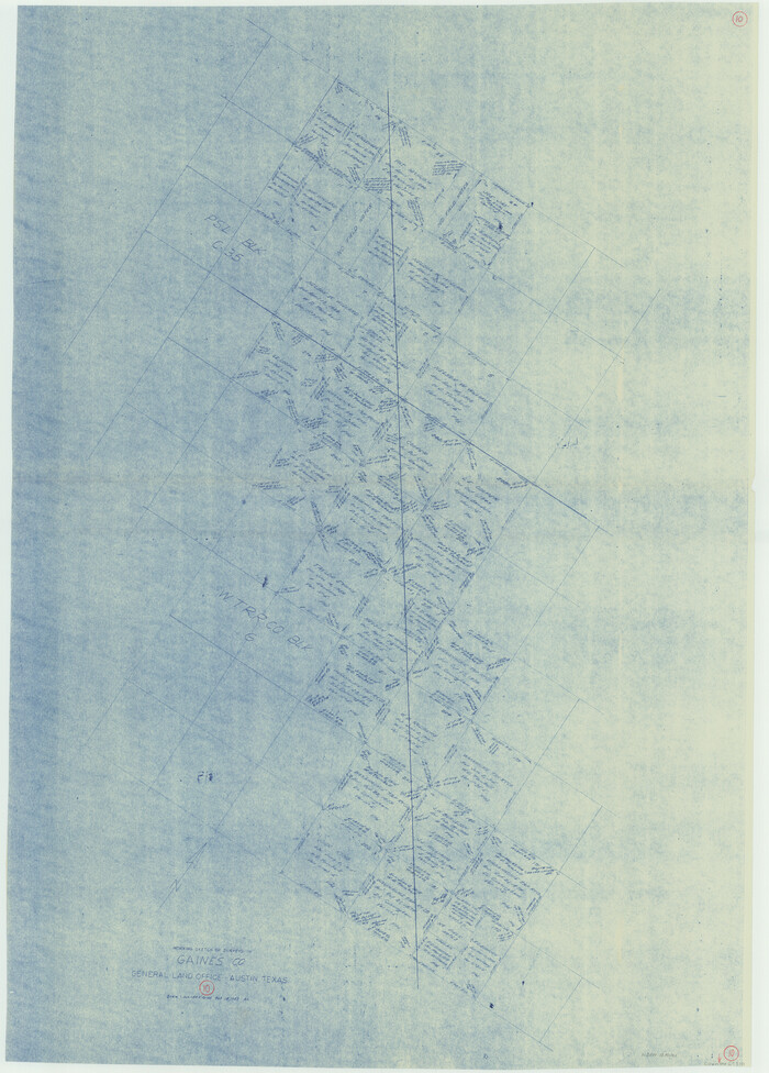

Print $40.00
- Digital $50.00
Gaines County Working Sketch 10
1953
Size 53.0 x 38.0 inches
Map/Doc 69310
Sutton County Working Sketch 40
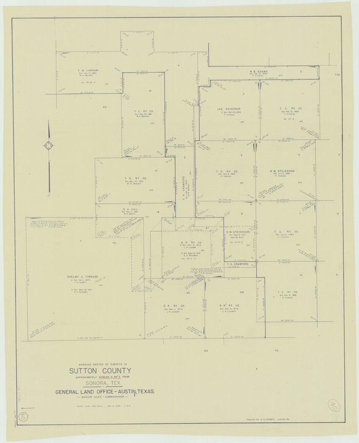

Print $20.00
- Digital $50.00
Sutton County Working Sketch 40
1948
Size 34.9 x 28.3 inches
Map/Doc 62383
Harris County Sketch File 1
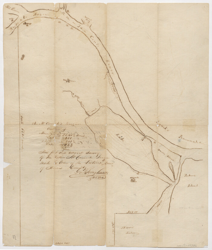

Print $20.00
- Digital $50.00
Harris County Sketch File 1
Size 14.8 x 12.6 inches
Map/Doc 25332
![73623, [Map Showing Location and Right of Way of Proposed Groins], General Map Collection](https://historictexasmaps.com/wmedia_w1800h1800/maps/73623-1.tif.jpg)