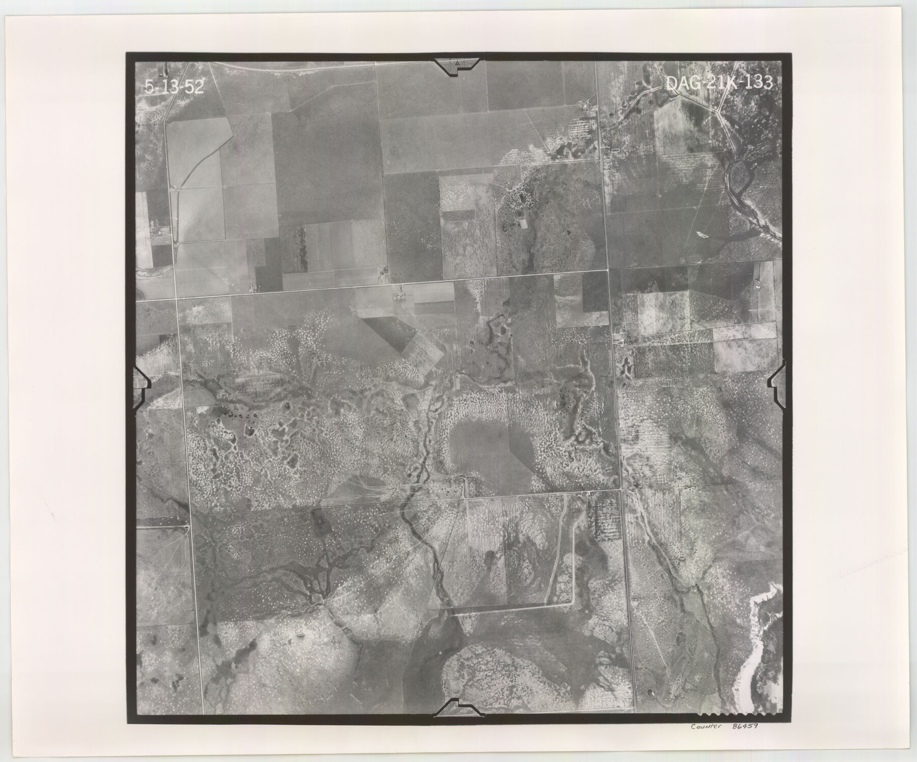
Flight Mission No. DAG-21K, Frame 133, Matagorda County
DAG-21K-133
-
Map/Doc
86459
-
Collection
General Map Collection
-
Object Dates
1952/5/13 (Creation Date)
-
People and Organizations
U. S. Department of Agriculture (Publisher)
-
Counties
Matagorda
-
Subjects
Aerial Photograph
-
Height x Width
18.6 x 22.4 inches
47.2 x 56.9 cm
-
Comments
Flown by Aero Exploration Company of Tulsa, Oklahoma.
Part of: General Map Collection
Jefferson County Sketch File 52

Print $2.00
- Digital $50.00
Jefferson County Sketch File 52
1985
Size 9.1 x 14.4 inches
Map/Doc 28254
Duval County Sketch File 65

Print $6.00
- Digital $50.00
Duval County Sketch File 65
1943
Size 14.4 x 9.1 inches
Map/Doc 21441

McMullen County Working Sketch 12

Print $20.00
- Digital $50.00
McMullen County Working Sketch 12
1938
Size 23.4 x 26.8 inches
Map/Doc 70713
Map of Stephens County

Print $20.00
- Digital $50.00
Map of Stephens County
1879
Size 24.0 x 19.6 inches
Map/Doc 4053
Wharton County Sketch File 6

Print $4.00
- Digital $50.00
Wharton County Sketch File 6
1877
Size 8.6 x 14.2 inches
Map/Doc 39923
Kinney County Working Sketch 54

Print $20.00
- Digital $50.00
Kinney County Working Sketch 54
1981
Size 40.0 x 32.8 inches
Map/Doc 70236
Coke County Boundary File 2

Print $64.00
- Digital $50.00
Coke County Boundary File 2
Size 49.0 x 9.0 inches
Map/Doc 51580
Dallas County Sketch File 1

Print $4.00
- Digital $50.00
Dallas County Sketch File 1
1853
Size 7.2 x 7.0 inches
Map/Doc 20394
Tarrant County Sketch File 16a

Print $10.00
- Digital $50.00
Tarrant County Sketch File 16a
1859
Size 8.4 x 8.2 inches
Map/Doc 37712
Kimble County Rolled Sketch 34

Print $20.00
- Digital $50.00
Kimble County Rolled Sketch 34
1976
Size 35.0 x 20.2 inches
Map/Doc 6524
Knox County Boundary File 1a

Print $16.00
- Digital $50.00
Knox County Boundary File 1a
Size 9.7 x 13.8 inches
Map/Doc 65010
You may also like
Bastrop County Rolled Sketch 1A

Print $20.00
- Digital $50.00
Bastrop County Rolled Sketch 1A
Size 37.0 x 24.5 inches
Map/Doc 5122
Wilbarger County Sketch File 24

Print $20.00
- Digital $50.00
Wilbarger County Sketch File 24
1894
Size 23.3 x 14.9 inches
Map/Doc 12691
Right of Way and Track Map, the Missouri, Kansas & Texas Ry. Of Texas operated by the Missouri, Kansas & Texas Ry. Of Texas, Houston Division

Print $40.00
- Digital $50.00
Right of Way and Track Map, the Missouri, Kansas & Texas Ry. Of Texas operated by the Missouri, Kansas & Texas Ry. Of Texas, Houston Division
1918
Size 26.0 x 62.1 inches
Map/Doc 64785
Map of The Surveyed Part of Peters Colony Texas

Print $40.00
- Digital $50.00
Map of The Surveyed Part of Peters Colony Texas
1852
Size 56.5 x 41.0 inches
Map/Doc 1966

Hutchinson County Sketch File 1

Print $22.00
- Digital $50.00
Hutchinson County Sketch File 1
Size 8.9 x 7.8 inches
Map/Doc 27172
Railroad Commissioners' Map of Texas

Print $20.00
Railroad Commissioners' Map of Texas
1897
Size 23.2 x 27.6 inches
Map/Doc 76280
General Highway Map, Foard County, Texas

Print $20.00
General Highway Map, Foard County, Texas
1961
Size 18.2 x 24.6 inches
Map/Doc 79468
Oil and Gas Fields in the State of Texas

Print $40.00
Oil and Gas Fields in the State of Texas
1927
Size 58.2 x 38.1 inches
Map/Doc 76303
Fredonia or the United States of North-America; including also Cabotia, or the Canadian Provinces; the Western Territory to the Pacific Ocean; and the Northern Part of the Mexican States

Print $20.00
- Digital $50.00
Fredonia or the United States of North-America; including also Cabotia, or the Canadian Provinces; the Western Territory to the Pacific Ocean; and the Northern Part of the Mexican States
1848
Size 26.8 x 39.9 inches
Map/Doc 93879
Nautical Chart 892-SC - Intracoastal Waterway - Carlos Bay to Redfish Bay including Copano Bay, Texas

Print $40.00
- Digital $50.00
Nautical Chart 892-SC - Intracoastal Waterway - Carlos Bay to Redfish Bay including Copano Bay, Texas
1972
Size 16.8 x 51.8 inches
Map/Doc 73440
El Paso County Boundary File 11

Print $58.00
- Digital $50.00
El Paso County Boundary File 11
Size 9.3 x 6.5 inches
Map/Doc 53125