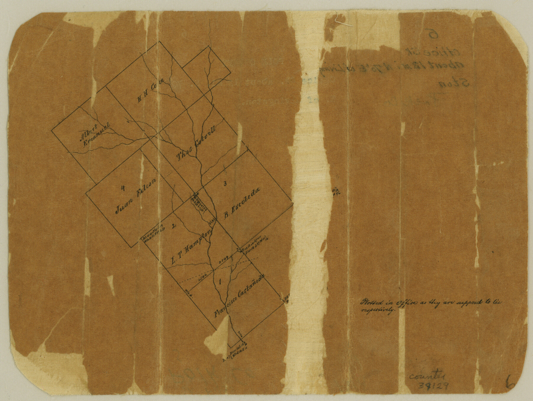
Polk County Sketch File 6
[Office sketch east of Livingston]
-
Map/Doc
34129
-
Collection
General Map Collection
-
Counties
Polk
-
Subjects
Surveying Sketch File
-
Height x Width
7.1 x 9.4 inches
18.0 x 23.9 cm
-
Medium
paper, manuscript
Part of: General Map Collection
Milam County Working Sketch 17

Print $40.00
- Digital $50.00
Milam County Working Sketch 17
1972
Size 54.7 x 32.2 inches
Map/Doc 89031
Concho County Rolled Sketch 22

Print $20.00
- Digital $50.00
Concho County Rolled Sketch 22
1971
Size 24.6 x 28.8 inches
Map/Doc 5555
Reeves County Sketch File 3

Print $8.00
- Digital $50.00
Reeves County Sketch File 3
Size 14.4 x 8.8 inches
Map/Doc 35188
Flight Mission No. CRK-8P, Frame 115, Refugio County

Print $20.00
- Digital $50.00
Flight Mission No. CRK-8P, Frame 115, Refugio County
1956
Size 18.3 x 22.1 inches
Map/Doc 86970
[Sketch for Mineral Applications 26885-6 - Reagan and Crockett Cos., W. H. Bland]
![65671, [Sketch for Mineral Applications 26885-6 - Reagan and Crockett Cos., W. H. Bland], General Map Collection](https://historictexasmaps.com/wmedia_w700/maps/65671-1.tif.jpg)
Print $40.00
- Digital $50.00
[Sketch for Mineral Applications 26885-6 - Reagan and Crockett Cos., W. H. Bland]
Size 37.3 x 51.0 inches
Map/Doc 65671
Padre Island National Seashore, Texas - Dependent Resurvey

Print $4.00
- Digital $50.00
Padre Island National Seashore, Texas - Dependent Resurvey
2001
Size 18.4 x 24.0 inches
Map/Doc 60551
Shelby County Working Sketch 27

Print $20.00
- Digital $50.00
Shelby County Working Sketch 27
1995
Size 32.8 x 39.9 inches
Map/Doc 63881
Concho County Sketch File 10

Print $20.00
- Digital $50.00
Concho County Sketch File 10
1887
Size 23.1 x 33.8 inches
Map/Doc 11150
Presidio County Sketch File V

Print $6.00
- Digital $50.00
Presidio County Sketch File V
1915
Size 11.2 x 8.8 inches
Map/Doc 34549
Harris County Sketch File 97

Print $28.00
- Digital $50.00
Harris County Sketch File 97
1917
Size 14.3 x 8.9 inches
Map/Doc 25641
Parmer County Sketch File 1

Print $28.00
- Digital $50.00
Parmer County Sketch File 1
1902
Size 10.6 x 8.2 inches
Map/Doc 33621
Stonewall County Sketch File 21

Print $4.00
- Digital $50.00
Stonewall County Sketch File 21
1933
Size 7.1 x 8.7 inches
Map/Doc 37291
You may also like
Map of Navarro County

Print $20.00
- Digital $50.00
Map of Navarro County
1858
Size 19.3 x 25.8 inches
Map/Doc 3912
Rusk County Sketch File 16

Print $4.00
Rusk County Sketch File 16
1849
Size 13.0 x 8.4 inches
Map/Doc 35518
Swisher County Sketch File 10

Print $6.00
- Digital $50.00
Swisher County Sketch File 10
1936
Size 11.0 x 15.9 inches
Map/Doc 37631
Presidio County Rolled Sketch 59

Print $20.00
- Digital $50.00
Presidio County Rolled Sketch 59
Size 27.6 x 18.2 inches
Map/Doc 7352
Flight Mission No. BQR-5K, Frame 71, Brazoria County

Print $20.00
- Digital $50.00
Flight Mission No. BQR-5K, Frame 71, Brazoria County
1952
Size 18.8 x 22.4 inches
Map/Doc 84016
The Republic County of Nacogdoches. December 6, 1841

Print $20.00
The Republic County of Nacogdoches. December 6, 1841
2020
Size 15.9 x 21.8 inches
Map/Doc 96246
Gregg County Rolled Sketch 21

Print $20.00
- Digital $50.00
Gregg County Rolled Sketch 21
1957
Size 34.4 x 40.4 inches
Map/Doc 10650
Water-Shed of the Brazos River

Print $40.00
- Digital $50.00
Water-Shed of the Brazos River
1925
Size 35.0 x 88.0 inches
Map/Doc 65263
General Highway Map, San Jacinto County, Texas

Print $20.00
General Highway Map, San Jacinto County, Texas
1961
Size 24.6 x 18.4 inches
Map/Doc 79646
[G.C. and S. F. R.R. Co. Through Bosque County from McLennan Co. and E. to Hill Co. Station M. P. 259 to M. P. 297]
![64563, [G.C. and S. F. R.R. Co. Through Bosque County from McLennan Co. and E. to Hill Co. Station M. P. 259 to M. P. 297], General Map Collection](https://historictexasmaps.com/wmedia_w700/maps/64563-1.tif.jpg)
Print $40.00
- Digital $50.00
[G.C. and S. F. R.R. Co. Through Bosque County from McLennan Co. and E. to Hill Co. Station M. P. 259 to M. P. 297]
Size 21.7 x 120.5 inches
Map/Doc 64563
Map of the Denison & South Eastern Rwy. showing the Location & Land Lines of the First Twenty-One Miles

Print $40.00
- Digital $50.00
Map of the Denison & South Eastern Rwy. showing the Location & Land Lines of the First Twenty-One Miles
1878
Size 24.1 x 70.4 inches
Map/Doc 64023
Brazoria County NRC Article 33.136 Location Key Sheet

Print $20.00
- Digital $50.00
Brazoria County NRC Article 33.136 Location Key Sheet
1963
Size 27.0 x 22.0 inches
Map/Doc 77009