Flight Mission No. DAG-21K, Frame 96, Matagorda County
DAG-21K-96
-
Map/Doc
86425
-
Collection
General Map Collection
-
Object Dates
1952/5/13 (Creation Date)
-
People and Organizations
U. S. Department of Agriculture (Publisher)
-
Counties
Matagorda
-
Subjects
Aerial Photograph
-
Height x Width
18.4 x 22.4 inches
46.7 x 56.9 cm
-
Comments
Flown by Aero Exploration Company of Tulsa, Oklahoma.
Part of: General Map Collection
El Paso County Rolled Sketch 57A
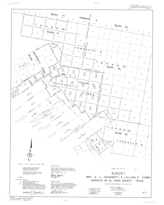

Print $40.00
- Digital $50.00
El Paso County Rolled Sketch 57A
1984
Size 49.2 x 39.4 inches
Map/Doc 8879
University Land Field Notes for Blocks 19 and 20 in Pecos County


University Land Field Notes for Blocks 19 and 20 in Pecos County
Map/Doc 81724
Flight Mission No. BQR-13K, Frame 162, Brazoria County
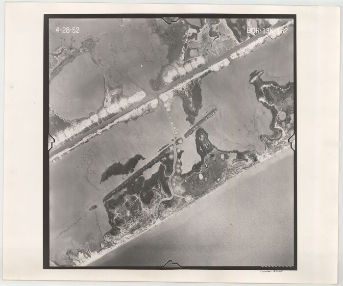

Print $20.00
- Digital $50.00
Flight Mission No. BQR-13K, Frame 162, Brazoria County
1952
Size 18.6 x 22.4 inches
Map/Doc 84087
Glasscock County Sketch File 10

Print $6.00
- Digital $50.00
Glasscock County Sketch File 10
1935
Size 11.6 x 12.8 inches
Map/Doc 24172
Galveston County


Print $40.00
- Digital $50.00
Galveston County
1939
Size 44.0 x 55.5 inches
Map/Doc 73155
Flight Mission No. BRE-2P, Frame 43, Nueces County
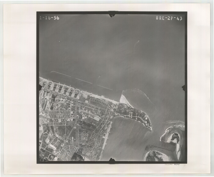

Print $20.00
- Digital $50.00
Flight Mission No. BRE-2P, Frame 43, Nueces County
1956
Size 18.8 x 22.7 inches
Map/Doc 86745
Hood County Working Sketch 22
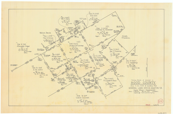

Print $20.00
- Digital $50.00
Hood County Working Sketch 22
1991
Size 17.9 x 27.1 inches
Map/Doc 66216
Sutton County Sketch File 53


Print $6.00
- Digital $50.00
Sutton County Sketch File 53
1948
Size 11.5 x 10.2 inches
Map/Doc 37532
Map showing the line of march of the Centre Division, Army of Mexico, under the command of Brigr. Genl. John E. Wool, from San Antonio de Bexar, Texas to Saltillo, Mexico
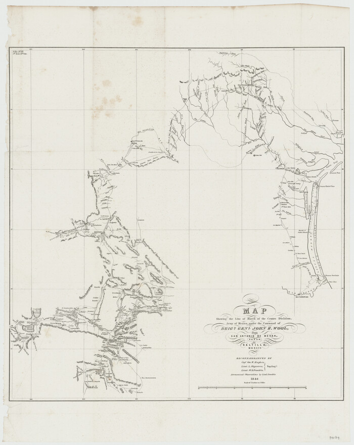

Print $20.00
- Digital $50.00
Map showing the line of march of the Centre Division, Army of Mexico, under the command of Brigr. Genl. John E. Wool, from San Antonio de Bexar, Texas to Saltillo, Mexico
1846
Size 24.5 x 19.5 inches
Map/Doc 94074
Kleberg County Rolled Sketch 10-32
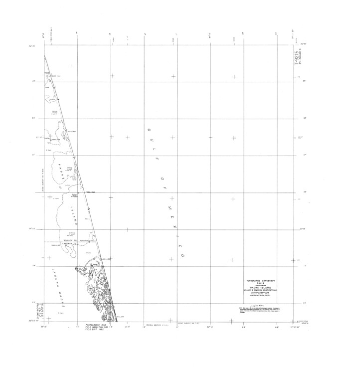

Print $20.00
- Digital $50.00
Kleberg County Rolled Sketch 10-32
1952
Size 36.2 x 34.5 inches
Map/Doc 9369
Val Verde County Working Sketch 70


Print $20.00
- Digital $50.00
Val Verde County Working Sketch 70
1966
Size 21.2 x 28.0 inches
Map/Doc 72205
Atascosa County Working Sketch 4
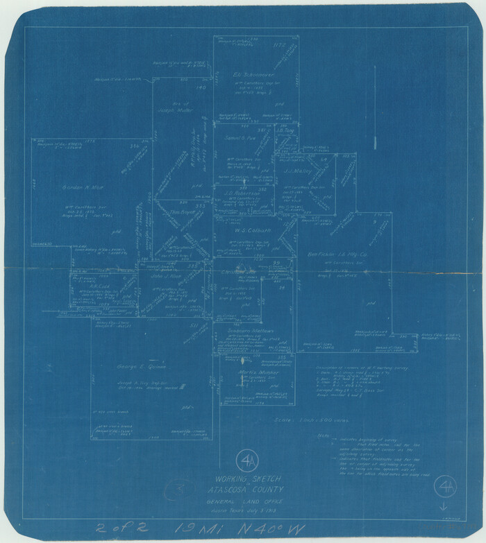

Print $20.00
- Digital $50.00
Atascosa County Working Sketch 4
1913
Size 16.8 x 15.0 inches
Map/Doc 67199
You may also like
Flight Mission No. DIX-6P, Frame 131, Aransas County
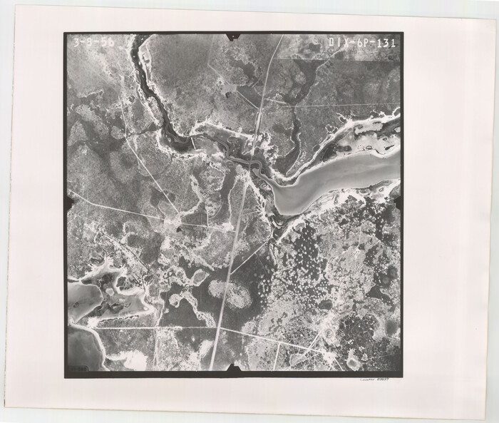

Print $20.00
- Digital $50.00
Flight Mission No. DIX-6P, Frame 131, Aransas County
1956
Size 19.5 x 23.0 inches
Map/Doc 83837
Reeves County Working Sketch 2


Print $20.00
- Digital $50.00
Reeves County Working Sketch 2
1903
Size 22.6 x 42.4 inches
Map/Doc 63444
Hutchinson County Rolled Sketch 44-8
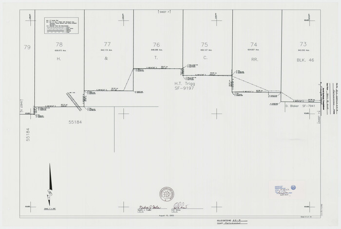

Print $20.00
- Digital $50.00
Hutchinson County Rolled Sketch 44-8
2002
Size 24.0 x 36.0 inches
Map/Doc 77544
Erath County Working Sketch 26
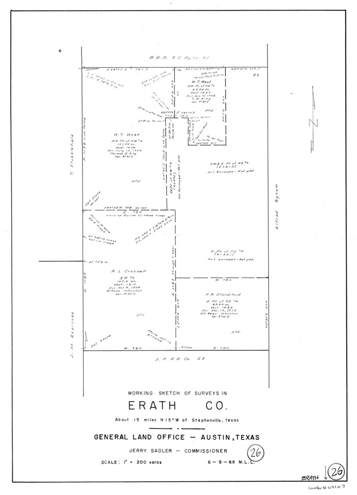

Print $20.00
- Digital $50.00
Erath County Working Sketch 26
1969
Size 20.8 x 15.0 inches
Map/Doc 69107
[Sketch for Mineral Application 1112 - Colorado River, H. E. Chambers]
![65640, [Sketch for Mineral Application 1112 - Colorado River, H. E. Chambers], General Map Collection](https://historictexasmaps.com/wmedia_w700/maps/65640.tif.jpg)
![65640, [Sketch for Mineral Application 1112 - Colorado River, H. E. Chambers], General Map Collection](https://historictexasmaps.com/wmedia_w700/maps/65640.tif.jpg)
Print $20.00
- Digital $50.00
[Sketch for Mineral Application 1112 - Colorado River, H. E. Chambers]
1918
Size 17.2 x 28.3 inches
Map/Doc 65640
Wise County Sketch File A
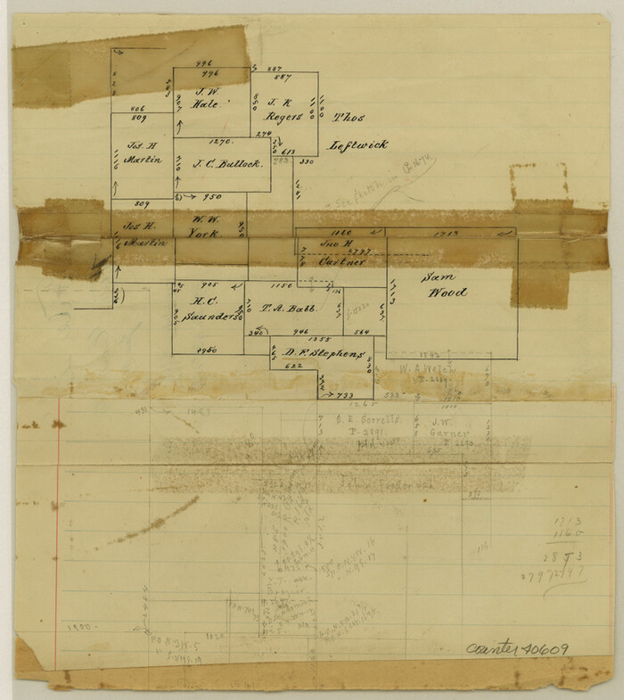

Print $8.00
- Digital $50.00
Wise County Sketch File A
1884
Size 9.1 x 8.1 inches
Map/Doc 40609
The Mexican Department of Bexar. March 18, 1834


Print $20.00
The Mexican Department of Bexar. March 18, 1834
2020
Size 16.0 x 21.7 inches
Map/Doc 95970
Hutchinson County Rolled Sketch 22
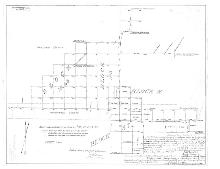

Print $20.00
- Digital $50.00
Hutchinson County Rolled Sketch 22
1914
Size 29.3 x 38.0 inches
Map/Doc 6287
Brazoria County Rolled Sketch 38


Print $20.00
- Digital $50.00
Brazoria County Rolled Sketch 38
1949
Size 44.6 x 39.5 inches
Map/Doc 8460
Williamson County
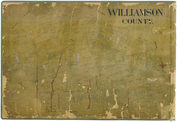

Print $40.00
- Digital $50.00
Williamson County
1888
Size 37.1 x 54.0 inches
Map/Doc 16930
General Highway Map, Karnes County, Texas
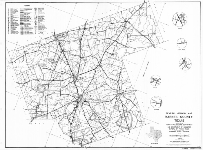

Print $20.00
General Highway Map, Karnes County, Texas
1961
Size 18.1 x 24.6 inches
Map/Doc 79547
Val Verde County Sketch File 40


Print $20.00
- Digital $50.00
Val Verde County Sketch File 40
1939
Size 15.3 x 25.5 inches
Map/Doc 12582
