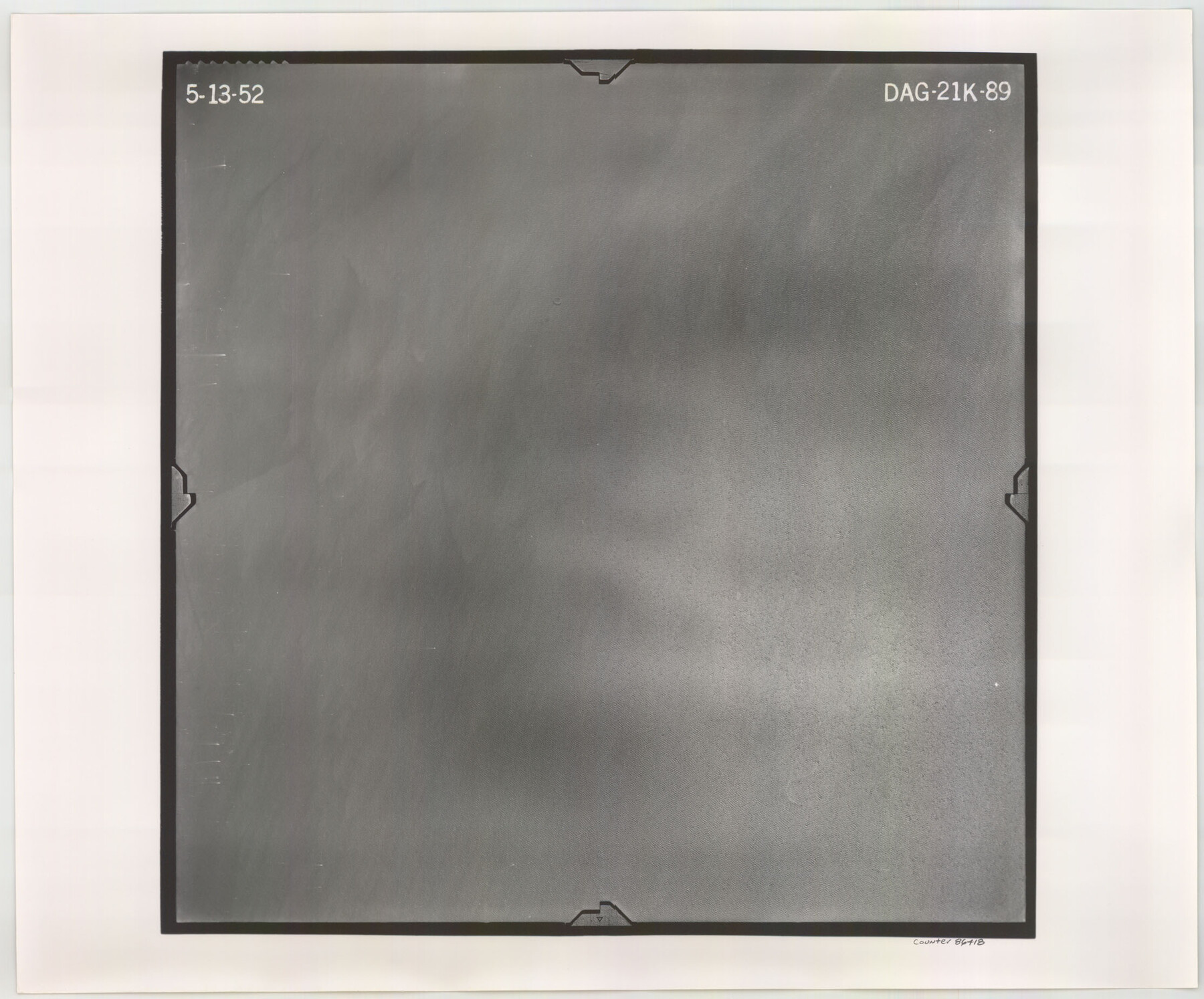
Flight Mission No. DAG-21K, Frame 89, Matagorda County
DAG-21K-89
-
Map/Doc
86418
-
Collection
General Map Collection
-
Object Dates
1952/5/13 (Creation Date)
-
People and Organizations
U. S. Department of Agriculture (Publisher)
-
Counties
Matagorda
-
Subjects
Aerial Photograph
-
Height x Width
18.5 x 22.3 inches
47.0 x 56.6 cm
-
Comments
Flown by Aero Exploration Company of Tulsa, Oklahoma.
Part of: General Map Collection
Brewster County Sketch File N-9


Print $40.00
- Digital $50.00
Brewster County Sketch File N-9
Size 17.4 x 15.7 inches
Map/Doc 10964
Baylor County Boundary File 14


Print $6.00
- Digital $50.00
Baylor County Boundary File 14
Size 11.1 x 8.6 inches
Map/Doc 50428
Dimmit County Working Sketch 48

Print $40.00
- Digital $50.00
Dimmit County Working Sketch 48
1980
Size 78.7 x 43.7 inches
Map/Doc 68709
Crockett County Working Sketch 65

Print $20.00
- Digital $50.00
Crockett County Working Sketch 65
1957
Size 32.3 x 38.0 inches
Map/Doc 68398
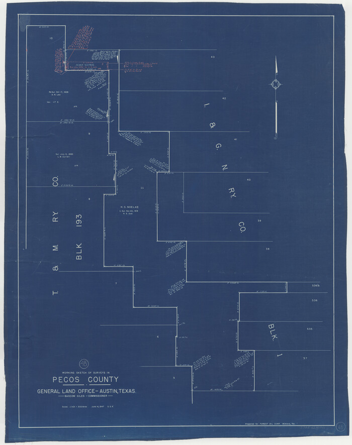
Pecos County Working Sketch 48

Print $20.00
- Digital $50.00
Pecos County Working Sketch 48
1947
Size 35.0 x 27.7 inches
Map/Doc 71520
Nolan County Sketch File 1


Print $48.00
- Digital $50.00
Nolan County Sketch File 1
1890
Size 14.1 x 8.5 inches
Map/Doc 32470
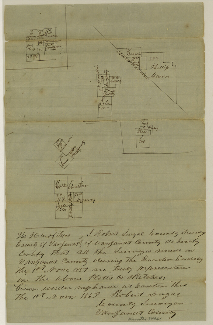
Van Zandt County Sketch File 30

Print $4.00
- Digital $50.00
Van Zandt County Sketch File 30
1859
Size 12.2 x 8.0 inches
Map/Doc 39461
Reeves County Working Sketch 45


Print $20.00
- Digital $50.00
Reeves County Working Sketch 45
1974
Size 46.9 x 32.3 inches
Map/Doc 63488
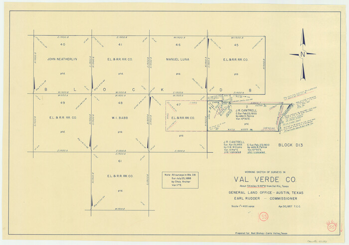
Val Verde County Working Sketch 55

Print $20.00
- Digital $50.00
Val Verde County Working Sketch 55
1957
Size 20.1 x 28.6 inches
Map/Doc 72190
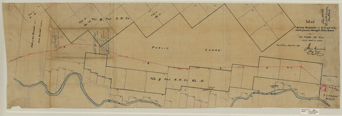
Hudspeth County Sketch File 35

Print $20.00
- Digital $50.00
Hudspeth County Sketch File 35
1886
Size 43.0 x 14.7 inches
Map/Doc 10497
Austin County Working Sketch Graphic Index


Print $20.00
- Digital $50.00
Austin County Working Sketch Graphic Index
1943
Size 38.6 x 41.1 inches
Map/Doc 76459
You may also like
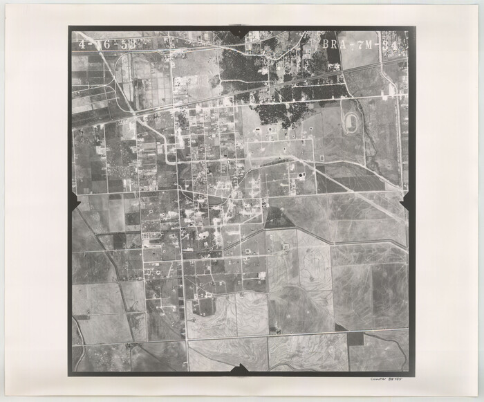
Flight Mission No. BRA-7M, Frame 34, Jefferson County

Print $20.00
- Digital $50.00
Flight Mission No. BRA-7M, Frame 34, Jefferson County
1953
Size 18.6 x 22.3 inches
Map/Doc 85485
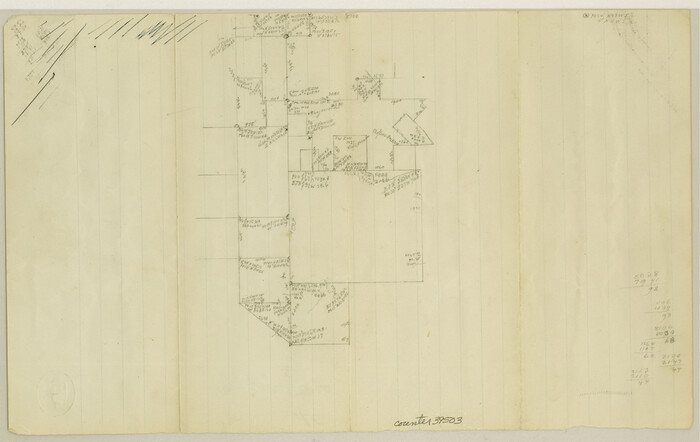
Van Zandt County Sketch File 46

Print $2.00
- Digital $50.00
Van Zandt County Sketch File 46
Size 8.0 x 12.7 inches
Map/Doc 39503
Brown County Sketch File 17

Print $40.00
- Digital $50.00
Brown County Sketch File 17
Size 15.6 x 12.7 inches
Map/Doc 16614
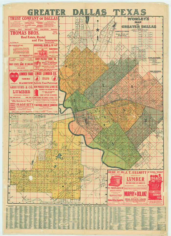
Worley's Map of Greater Dallas

Print $20.00
Worley's Map of Greater Dallas
1905
Size 34.9 x 25.4 inches
Map/Doc 79319
Schleicher County Sketch File 16
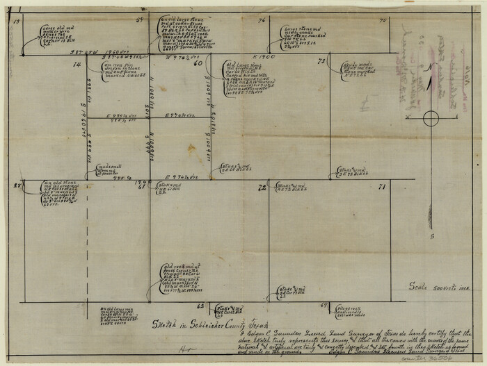

Print $6.00
- Digital $50.00
Schleicher County Sketch File 16
Size 11.6 x 15.4 inches
Map/Doc 36506
Blanco County Working Sketch 32


Print $20.00
- Digital $50.00
Blanco County Working Sketch 32
1972
Size 31.8 x 32.2 inches
Map/Doc 67392
Tyler County Sketch File 16


Print $6.00
- Digital $50.00
Tyler County Sketch File 16
1860
Size 9.4 x 11.8 inches
Map/Doc 38661
Flight Mission No. DQO-8K, Frame 89, Galveston County


Print $20.00
- Digital $50.00
Flight Mission No. DQO-8K, Frame 89, Galveston County
1952
Size 18.6 x 22.4 inches
Map/Doc 85191
Eastland County Boundary File 1
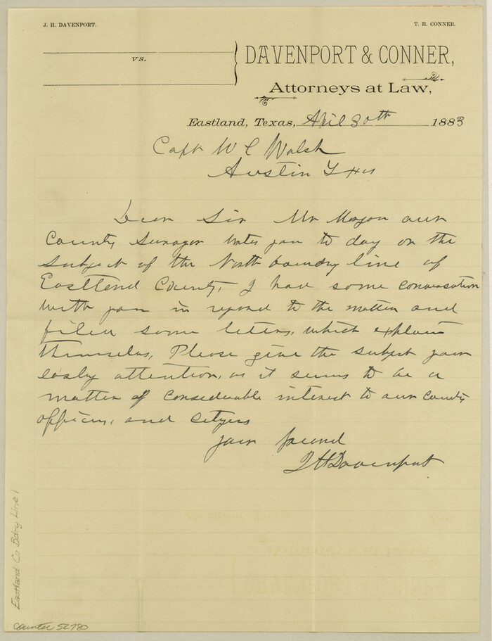

Print $10.00
- Digital $50.00
Eastland County Boundary File 1
Size 11.1 x 8.5 inches
Map/Doc 52780
Jeff Davis County Sketch File 18a


Print $14.00
- Digital $50.00
Jeff Davis County Sketch File 18a
Size 9.3 x 6.0 inches
Map/Doc 27966
Intracoastal Waterway in Texas - Corpus Christi to Point Isabel including Arroyo Colorado to Mo. Pac. R.R. Bridge Near Harlingen
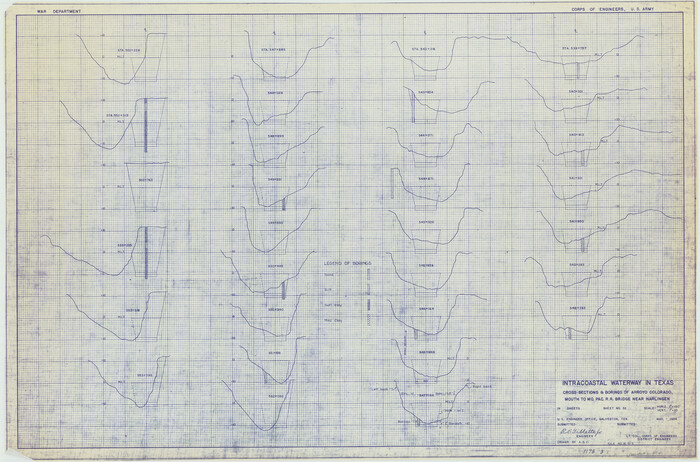

Print $20.00
- Digital $50.00
Intracoastal Waterway in Texas - Corpus Christi to Point Isabel including Arroyo Colorado to Mo. Pac. R.R. Bridge Near Harlingen
1934
Size 21.6 x 32.7 inches
Map/Doc 61879
Collin County, Texas


Print $20.00
- Digital $50.00
Collin County, Texas
1879
Size 19.6 x 17.0 inches
Map/Doc 559
