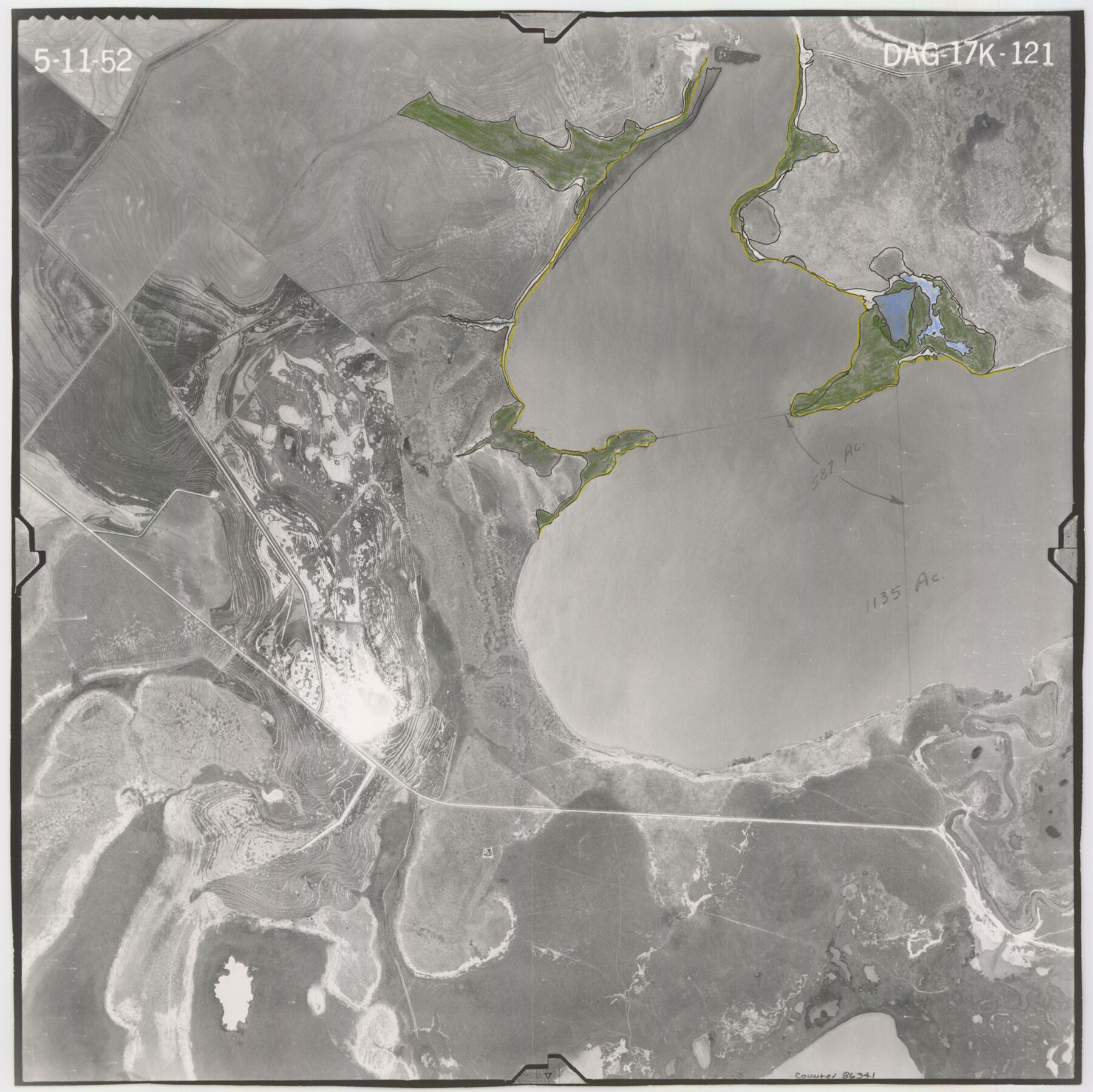
Flight Mission No. DAG-17K, Frame 121, Matagorda County
DAG-17K-121
-
Map/Doc
86341
-
Collection
General Map Collection
-
Object Dates
1952/5/11 (Creation Date)
-
People and Organizations
U. S. Department of Agriculture (Publisher)
-
Counties
Matagorda
-
Subjects
Aerial Photograph
-
Height x Width
16.4 x 16.5 inches
41.7 x 41.9 cm
-
Comments
Flown by Aero Exploration Company of Tulsa, Oklahoma.
Part of: General Map Collection

Galveston County Sketch File 61a

Print $12.00
- Digital $50.00
Galveston County Sketch File 61a
1988
Size 11.2 x 8.8 inches
Map/Doc 23665
Blanco County Working Sketch 17

Print $20.00
- Digital $50.00
Blanco County Working Sketch 17
1954
Size 31.6 x 30.3 inches
Map/Doc 67377
Presidio County Boundary File 3a

Print $40.00
- Digital $50.00
Presidio County Boundary File 3a
Size 17.7 x 38.0 inches
Map/Doc 58074
[University Lands in West Texas]
![2422, [University Lands in West Texas], General Map Collection](https://historictexasmaps.com/wmedia_w700/maps/2422.tif.jpg)
Print $20.00
- Digital $50.00
[University Lands in West Texas]
1938
Size 20.3 x 28.1 inches
Map/Doc 2422
Stephens County Sketch File 11

Print $4.00
- Digital $50.00
Stephens County Sketch File 11
1882
Size 8.8 x 9.1 inches
Map/Doc 37055
Upshur County Working Sketch 15, revised

Print $20.00
- Digital $50.00
Upshur County Working Sketch 15, revised
1996
Size 43.3 x 37.4 inches
Map/Doc 78217
[Surveys in the Bexar District along the Frio River and Commanche [sic] Creek]
![228, [Surveys in the Bexar District along the Frio River and Commanche [sic] Creek], General Map Collection](https://historictexasmaps.com/wmedia_w700/maps/228.tif.jpg)
Print $20.00
- Digital $50.00
[Surveys in the Bexar District along the Frio River and Commanche [sic] Creek]
1846
Size 23.8 x 18.9 inches
Map/Doc 228
Anderson County Working Sketch 12

Print $20.00
- Digital $50.00
Anderson County Working Sketch 12
1914
Size 15.1 x 12.4 inches
Map/Doc 67012
Hudspeth County Rolled Sketch 28

Print $40.00
- Digital $50.00
Hudspeth County Rolled Sketch 28
Size 31.5 x 49.8 inches
Map/Doc 9208
Glasscock County Rolled Sketch 4

Print $20.00
- Digital $50.00
Glasscock County Rolled Sketch 4
1928
Size 26.7 x 20.9 inches
Map/Doc 6015
[Surveys in the Bexar District along the Medina River]
![17, [Surveys in the Bexar District along the Medina River], General Map Collection](https://historictexasmaps.com/wmedia_w700/maps/17.tif.jpg)
Print $20.00
- Digital $50.00
[Surveys in the Bexar District along the Medina River]
1841
Size 16.9 x 12.7 inches
Map/Doc 17
You may also like
Chambers County Rolled Sketch 23A

Print $40.00
- Digital $50.00
Chambers County Rolled Sketch 23A
1940
Size 77.1 x 36.0 inches
Map/Doc 8592
Kinney County Boundary File 1

Print $94.00
- Digital $50.00
Kinney County Boundary File 1
Size 20.3 x 3.7 inches
Map/Doc 64935
Brewster County Rolled Sketch 6

Print $40.00
- Digital $50.00
Brewster County Rolled Sketch 6
Size 43.0 x 66.2 inches
Map/Doc 75944
Midland County

Print $20.00
- Digital $50.00
Midland County
1930
Size 45.9 x 39.5 inches
Map/Doc 95589
Galveston County NRC Article 33.136 Sketch 55B

Print $24.00
- Digital $50.00
Galveston County NRC Article 33.136 Sketch 55B
2007
Size 24.0 x 36.0 inches
Map/Doc 94666
Anderson County Working Sketch 4

Print $20.00
- Digital $50.00
Anderson County Working Sketch 4
Size 15.9 x 21.4 inches
Map/Doc 67003
McCulloch County Working Sketch 18

Print $20.00
- Digital $50.00
McCulloch County Working Sketch 18
1997
Size 42.9 x 32.8 inches
Map/Doc 70693
Flight Mission No. CRC-4R, Frame 99, Chambers County

Print $20.00
- Digital $50.00
Flight Mission No. CRC-4R, Frame 99, Chambers County
1956
Size 18.5 x 22.2 inches
Map/Doc 84896
Kimble County Sketch File L1

Print $22.00
- Digital $50.00
Kimble County Sketch File L1
Size 7.1 x 13.1 inches
Map/Doc 28967
Johnson County Sketch File 14

Print $4.00
- Digital $50.00
Johnson County Sketch File 14
1860
Size 12.8 x 8.2 inches
Map/Doc 28450
[Capitol Lands, Block B6]
![91402, [Capitol Lands, Block B6], Twichell Survey Records](https://historictexasmaps.com/wmedia_w700/maps/91402-1.tif.jpg)
Print $20.00
- Digital $50.00
[Capitol Lands, Block B6]
Size 22.7 x 27.4 inches
Map/Doc 91402
Jefferson Co.

Print $40.00
- Digital $50.00
Jefferson Co.
1978
Size 49.3 x 43.5 inches
Map/Doc 95546