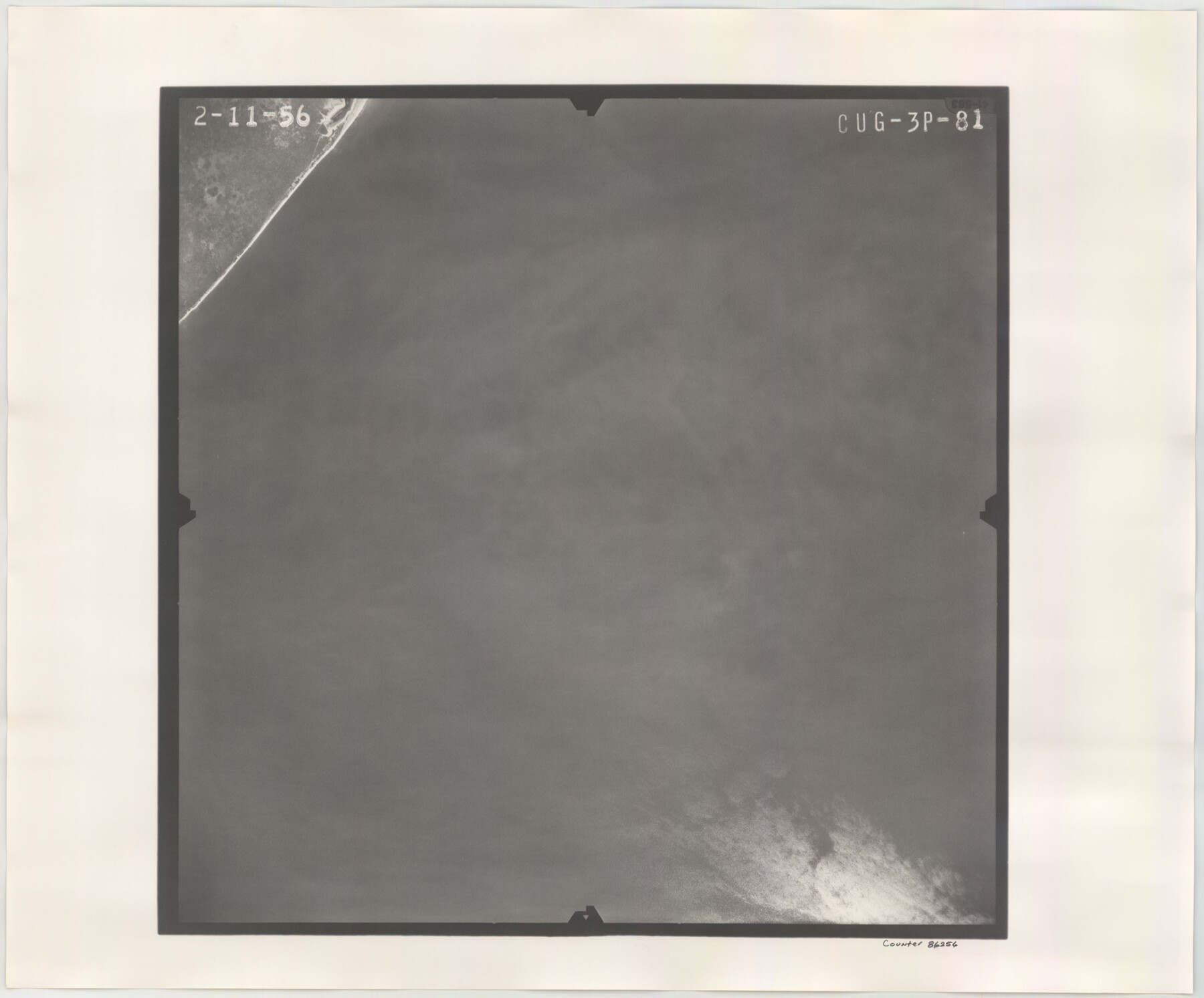
Flight Mission No. CUG-3P, Frame 81, Kleberg County
CUG-3P-81
-
Map/Doc
86256
-
Collection
General Map Collection
-
Object Dates
1956/2/11 (Creation Date)
-
People and Organizations
U. S. Department of Agriculture (Publisher)
-
Counties
Kleberg
-
Subjects
Aerial Photograph
-
Height x Width
18.3 x 22.1 inches
46.5 x 56.1 cm
-
Comments
Flown by V. L. Beavers and Associates of San Antonio, Texas.
Part of: General Map Collection
Schleicher County Sketch File 11

Print $20.00
- Digital $50.00
Schleicher County Sketch File 11
1912
Size 21.5 x 30.5 inches
Map/Doc 12298
Presidio County Sketch File 119

Print $14.00
- Digital $50.00
Presidio County Sketch File 119
1996
Size 14.3 x 9.0 inches
Map/Doc 34927
Duval County Rolled Sketch WSR

Print $20.00
- Digital $50.00
Duval County Rolled Sketch WSR
1938
Size 39.2 x 26.8 inches
Map/Doc 5772
Map of Europe engraved to illustrate Mitchell's school and family geography

Print $20.00
- Digital $50.00
Map of Europe engraved to illustrate Mitchell's school and family geography
1839
Size 9.5 x 11.8 inches
Map/Doc 93502
Port of Corpus Christi Inner Harbor Industrial District, Nueces County Navigation District Number One

Print $40.00
- Digital $50.00
Port of Corpus Christi Inner Harbor Industrial District, Nueces County Navigation District Number One
1972
Size 43.6 x 101.3 inches
Map/Doc 78635
Chambers County NRC Article 33.136 Sketch 15

Print $62.00
Chambers County NRC Article 33.136 Sketch 15
2025
Map/Doc 97510

Webb County Working Sketch 27

Print $20.00
- Digital $50.00
Webb County Working Sketch 27
1932
Size 24.0 x 19.5 inches
Map/Doc 72392
Orange County Boundary File 1

Print $4.00
- Digital $50.00
Orange County Boundary File 1
Size 9.7 x 6.3 inches
Map/Doc 57773
Gaines County Sketch File 8

Print $40.00
- Digital $50.00
Gaines County Sketch File 8
1941
Size 14.2 x 17.2 inches
Map/Doc 23191
Presidio County Working Sketch 65

Print $20.00
- Digital $50.00
Presidio County Working Sketch 65
1958
Size 31.1 x 26.3 inches
Map/Doc 71742
Flight Mission No. CGI-3N, Frame 164, Cameron County

Print $20.00
- Digital $50.00
Flight Mission No. CGI-3N, Frame 164, Cameron County
1954
Size 18.5 x 22.2 inches
Map/Doc 84628
You may also like
Archer County Working Sketch 12

Print $20.00
- Digital $50.00
Archer County Working Sketch 12
1939
Size 11.2 x 18.7 inches
Map/Doc 67153
Marion County Rolled Sketch JB

Print $40.00
- Digital $50.00
Marion County Rolled Sketch JB
Size 51.9 x 23.1 inches
Map/Doc 9488
Howard County

Print $20.00
- Digital $50.00
Howard County
1922
Size 41.3 x 35.2 inches
Map/Doc 73185
Panola County Working Sketch 13

Print $40.00
- Digital $50.00
Panola County Working Sketch 13
1945
Map/Doc 71422
Fannin County Rolled Sketch 22

Print $20.00
- Digital $50.00
Fannin County Rolled Sketch 22
Size 19.1 x 20.7 inches
Map/Doc 5875
National Railways of Mexico

Digital $50.00
National Railways of Mexico
1966
Size 8.9 x 17.6 inches
Map/Doc 94189
Kerr County Working Sketch 16

Print $20.00
- Digital $50.00
Kerr County Working Sketch 16
1954
Size 21.1 x 23.3 inches
Map/Doc 70047
[Blocks C, M and B, north of Morris County School Land]
![90493, [Blocks C, M and B, north of Morris County School Land], Twichell Survey Records](https://historictexasmaps.com/wmedia_w700/maps/90493-1.tif.jpg)
Print $20.00
- Digital $50.00
[Blocks C, M and B, north of Morris County School Land]
Size 21.0 x 14.2 inches
Map/Doc 90493
Donley County Sketch File 23

Print $4.00
- Digital $50.00
Donley County Sketch File 23
Size 8.4 x 14.5 inches
Map/Doc 21258
Runnels County Sketch File 17

Print $6.00
Runnels County Sketch File 17
Size 11.0 x 13.6 inches
Map/Doc 35474
Webb County Working Sketch 6

Print $20.00
- Digital $50.00
Webb County Working Sketch 6
1909
Size 27.8 x 28.3 inches
Map/Doc 72371
Map of the United States of America for Goddard's "Where to Emigrate and Why"

Print $20.00
- Digital $50.00
Map of the United States of America for Goddard's "Where to Emigrate and Why"
1869
Size 12.4 x 18.8 inches
Map/Doc 96619