Flight Mission No. CUG-3P, Frame 31, Kleberg County
CUG-3P-31
-
Map/Doc
86236
-
Collection
General Map Collection
-
Object Dates
1956/2/11 (Creation Date)
-
People and Organizations
U. S. Department of Agriculture (Publisher)
-
Counties
Kleberg
-
Subjects
Aerial Photograph
-
Height x Width
18.5 x 22.4 inches
47.0 x 56.9 cm
-
Comments
Flown by V. L. Beavers and Associates of San Antonio, Texas.
Part of: General Map Collection

Harrison County Working Sketch 18

Print $20.00
- Digital $50.00
Harrison County Working Sketch 18
1976
Size 37.0 x 40.1 inches
Map/Doc 66038
Andrews County Sketch File 16

Print $12.00
- Digital $50.00
Andrews County Sketch File 16
1934
Size 11.2 x 8.8 inches
Map/Doc 12897
Aransas County Sketch File 14a

Print $40.00
- Digital $50.00
Aransas County Sketch File 14a
1891
Size 16.7 x 15.8 inches
Map/Doc 10821
Chart of the West Indies and Spanish Dominions in North America

Print $20.00
- Digital $50.00
Chart of the West Indies and Spanish Dominions in North America
1803
Size 25.7 x 39.4 inches
Map/Doc 97137
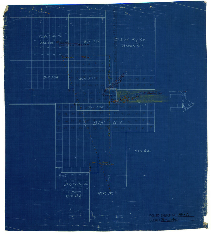
Brewster County Rolled Sketch 38A
Print $20.00
- Digital $50.00
Brewster County Rolled Sketch 38A
Size 15.6 x 14.1 inches
Map/Doc 5219
Flight Mission No. DCL-7C, Frame 8, Kenedy County

Print $20.00
- Digital $50.00
Flight Mission No. DCL-7C, Frame 8, Kenedy County
1943
Size 15.4 x 15.2 inches
Map/Doc 86000
Sketch of surveys in Houston Co. on Pine Bayou

Print $2.00
- Digital $50.00
Sketch of surveys in Houston Co. on Pine Bayou
Size 7.7 x 7.6 inches
Map/Doc 69742
Dawson County Sketch File A

Print $28.00
- Digital $50.00
Dawson County Sketch File A
1903
Size 11.4 x 8.8 inches
Map/Doc 20461
Presidio County Rolled Sketch D2

Print $20.00
- Digital $50.00
Presidio County Rolled Sketch D2
1908
Size 14.3 x 16.9 inches
Map/Doc 7410
Val Verde County Rolled Sketch 2

Print $40.00
- Digital $50.00
Val Verde County Rolled Sketch 2
Size 49.3 x 28.5 inches
Map/Doc 10069
Galveston County NRC Article 33.136 Location Key Sheet

Print $20.00
- Digital $50.00
Galveston County NRC Article 33.136 Location Key Sheet
1994
Size 27.0 x 22.0 inches
Map/Doc 77015
You may also like
Angelina County Working Sketch 21

Print $20.00
- Digital $50.00
Angelina County Working Sketch 21
1947
Size 35.7 x 35.8 inches
Map/Doc 67102
Brewster County Working Sketch 23

Print $20.00
- Digital $50.00
Brewster County Working Sketch 23
1939
Size 26.7 x 43.6 inches
Map/Doc 67557
[Hidalgo County]
![89517, [Hidalgo County], Barnes Railroad Collection](https://historictexasmaps.com/wmedia_w700/maps/89517.tif.jpg)
Print $20.00
- Digital $50.00
[Hidalgo County]
Size 44.7 x 26.0 inches
Map/Doc 89517
Cooke County Sketch File 10

Print $4.00
- Digital $50.00
Cooke County Sketch File 10
1855
Size 13.0 x 8.4 inches
Map/Doc 19242
Rand, McNally & Co.'s Texas

Print $20.00
- Digital $50.00
Rand, McNally & Co.'s Texas
1901
Size 21.3 x 28.2 inches
Map/Doc 95844
Terrell County Working Sketch 13

Print $20.00
- Digital $50.00
Terrell County Working Sketch 13
1926
Size 30.1 x 22.8 inches
Map/Doc 62162
Bosque County Boundary File 11

Print $10.00
- Digital $50.00
Bosque County Boundary File 11
Size 8.8 x 7.0 inches
Map/Doc 50689
McCulloch County Sketch File 15, 15a, 15b

Print $34.00
- Digital $50.00
McCulloch County Sketch File 15, 15a, 15b
1993
Size 11.2 x 8.8 inches
Map/Doc 31207
Midland County

Print $20.00
- Digital $50.00
Midland County
1930
Size 39.8 x 33.1 inches
Map/Doc 77372
[H. & T. C. Blocks 3 and 4; G. H. & S. A Blocks 2, 4, and 12; D. & P. Block 3]
![91027, [H. & T. C. Blocks 3 and 4; G. H. & S. A Blocks 2, 4, and 12; D. & P. Block 3], Twichell Survey Records](https://historictexasmaps.com/wmedia_w700/maps/91027-1.tif.jpg)
Print $20.00
- Digital $50.00
[H. & T. C. Blocks 3 and 4; G. H. & S. A Blocks 2, 4, and 12; D. & P. Block 3]
Size 44.6 x 36.3 inches
Map/Doc 91027
Donley County Sketch File 9

Print $4.00
- Digital $50.00
Donley County Sketch File 9
1884
Size 6.6 x 7.7 inches
Map/Doc 21238
Flight Mission No. CLL-3N, Frame 13, Willacy County

Print $20.00
- Digital $50.00
Flight Mission No. CLL-3N, Frame 13, Willacy County
1954
Size 18.4 x 22.1 inches
Map/Doc 87079