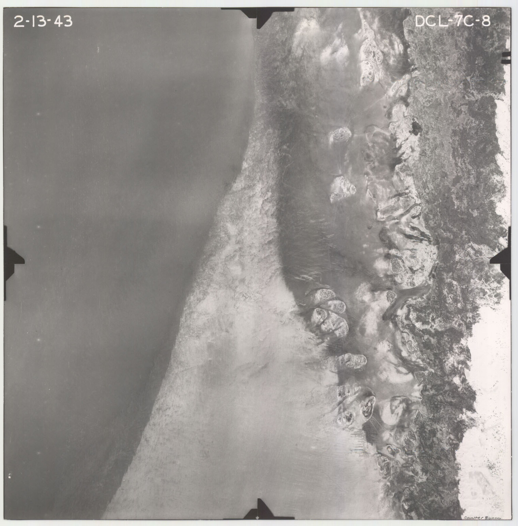
Flight Mission No. DCL-7C, Frame 8, Kenedy County
DCL-7C-8
-
Map/Doc
86000
-
Collection
General Map Collection
-
Object Dates
1943/2/13 (Creation Date)
-
People and Organizations
U. S. Department of Agriculture (Publisher)
-
Counties
Kenedy
-
Subjects
Aerial Photograph
-
Height x Width
15.4 x 15.2 inches
39.1 x 38.6 cm
-
Comments
Flown by Aerial Surveys of Pittsburgh, Inc. of Pittsburgh, Pennsylvania.
Part of: General Map Collection
Flight Mission No. DQO-2K, Frame 135, Galveston County

Print $20.00
- Digital $50.00
Flight Mission No. DQO-2K, Frame 135, Galveston County
1952
Size 18.7 x 22.5 inches
Map/Doc 85032
Galveston County NRC Article 33.136 Location Key Sheet

Print $20.00
- Digital $50.00
Galveston County NRC Article 33.136 Location Key Sheet
1974
Size 27.0 x 23.0 inches
Map/Doc 77022
Flight Mission No. DAG-24K, Frame 133, Matagorda County

Print $20.00
- Digital $50.00
Flight Mission No. DAG-24K, Frame 133, Matagorda County
1953
Size 18.5 x 22.3 inches
Map/Doc 86551
Waller County

Print $40.00
- Digital $50.00
Waller County
1945
Size 48.0 x 28.5 inches
Map/Doc 63108
Current Miscellaneous File 89

Print $4.00
- Digital $50.00
Current Miscellaneous File 89
Size 12.1 x 8.9 inches
Map/Doc 74253
Flight Mission No. BRA-17M, Frame 6, Jefferson County

Print $20.00
- Digital $50.00
Flight Mission No. BRA-17M, Frame 6, Jefferson County
1953
Size 18.5 x 22.2 inches
Map/Doc 85787
Duval County Sketch File 63

Print $4.00
- Digital $50.00
Duval County Sketch File 63
Size 14.5 x 8.9 inches
Map/Doc 21436
Mills County Sketch File 11

Print $6.00
- Digital $50.00
Mills County Sketch File 11
1876
Size 10.6 x 13.0 inches
Map/Doc 31659
Bandera County Sketch File 21

Print $4.00
- Digital $50.00
Bandera County Sketch File 21
Size 12.7 x 8.1 inches
Map/Doc 14010
Winkler County Working Sketch 13

Print $20.00
- Digital $50.00
Winkler County Working Sketch 13
Size 39.2 x 41.2 inches
Map/Doc 72607
Henderson County Sketch File 22

Print $14.00
- Digital $50.00
Henderson County Sketch File 22
1942
Size 14.2 x 8.9 inches
Map/Doc 26365
Robertson Co.

Print $40.00
- Digital $50.00
Robertson Co.
1945
Size 48.5 x 39.3 inches
Map/Doc 73276
You may also like
Brooks County Rolled Sketch 28

Print $20.00
- Digital $50.00
Brooks County Rolled Sketch 28
1947
Size 28.9 x 32.0 inches
Map/Doc 5346
The Republic County of Matagorda. December 24, 1844

Print $20.00
The Republic County of Matagorda. December 24, 1844
2020
Size 21.0 x 21.7 inches
Map/Doc 96223
Eastland County Working Sketch 29

Print $20.00
- Digital $50.00
Eastland County Working Sketch 29
1952
Size 21.1 x 22.3 inches
Map/Doc 68810

Runnels County Boundary File 1b

Print $24.00
- Digital $50.00
Runnels County Boundary File 1b
Size 15.7 x 8.3 inches
Map/Doc 58514
Red River Co.

Print $20.00
- Digital $50.00
Red River Co.
1905
Size 46.7 x 39.6 inches
Map/Doc 66994
Nueces County Sketch File 18

Print $4.00
- Digital $50.00
Nueces County Sketch File 18
1874
Size 10.2 x 7.2 inches
Map/Doc 32549
Newton County Sketch File 41

Print $44.00
- Digital $50.00
Newton County Sketch File 41
1930
Size 11.2 x 8.7 inches
Map/Doc 32421
Street guide and metropolitan map of New Orleans [Verso]
![94199, Street guide and metropolitan map of New Orleans [Verso], General Map Collection](https://historictexasmaps.com/wmedia_w700/maps/94199.tif.jpg)
Street guide and metropolitan map of New Orleans [Verso]
1963
Size 18.3 x 27.1 inches
Map/Doc 94199
Map of Brown County

Print $20.00
- Digital $50.00
Map of Brown County
Size 25.4 x 23.5 inches
Map/Doc 3340
Map of Wharton County

Print $20.00
- Digital $50.00
Map of Wharton County
1871
Size 22.0 x 22.9 inches
Map/Doc 4642
Flight Mission No. DCL-6C, Frame 23, Kenedy County

Print $20.00
- Digital $50.00
Flight Mission No. DCL-6C, Frame 23, Kenedy County
1943
Size 18.7 x 22.3 inches
Map/Doc 85880