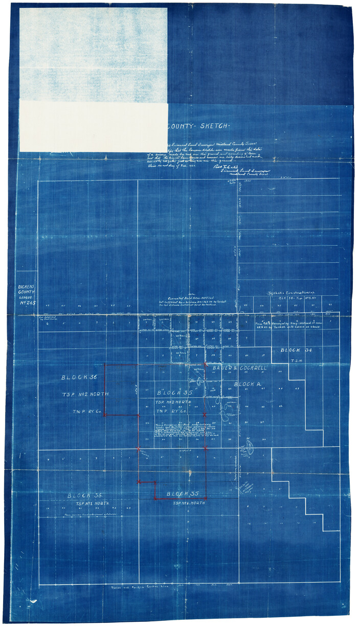
[Blocks D, DD Showing Terrain]
-
Map/Doc
92445
-
Collection
Twichell Survey Records
-
People and Organizations
W.D. Twichell (Draftsman)
-
Counties
Yoakum
-
Height x Width
30.8 x 17.2 inches
78.2 x 43.7 cm
Part of: Twichell Survey Records
Ochiltree County


Print $20.00
- Digital $50.00
Ochiltree County
Size 14.3 x 16.5 inches
Map/Doc 91491
[River Sections 54-73, part of Blk. GG]
![90317, [River Sections 54-73, part of Blk. GG], Twichell Survey Records](https://historictexasmaps.com/wmedia_w700/maps/90317-1.tif.jpg)
![90317, [River Sections 54-73, part of Blk. GG], Twichell Survey Records](https://historictexasmaps.com/wmedia_w700/maps/90317-1.tif.jpg)
Print $20.00
- Digital $50.00
[River Sections 54-73, part of Blk. GG]
Size 37.0 x 35.9 inches
Map/Doc 90317
John H. Wills' Official Map of Amarillo, Potter Counter, Texas


Print $40.00
- Digital $50.00
John H. Wills' Official Map of Amarillo, Potter Counter, Texas
1909
Size 48.9 x 45.4 inches
Map/Doc 93118
[Lgs. 192-195, 176-179]
![90254, [Lgs. 192-195, 176-179], Twichell Survey Records](https://historictexasmaps.com/wmedia_w700/maps/90254-1.tif.jpg)
![90254, [Lgs. 192-195, 176-179], Twichell Survey Records](https://historictexasmaps.com/wmedia_w700/maps/90254-1.tif.jpg)
Print $20.00
- Digital $50.00
[Lgs. 192-195, 176-179]
Size 18.2 x 25.2 inches
Map/Doc 90254
Sketch Showing all that Portion of Block 24 North of Santa Fe R. R. Right-of-Way in Original Town of Lubbock


Print $20.00
- Digital $50.00
Sketch Showing all that Portion of Block 24 North of Santa Fe R. R. Right-of-Way in Original Town of Lubbock
1925
Size 27.5 x 35.6 inches
Map/Doc 92810
Boyd-Gordon Addition to Idalou, a Subdivision of a Part Tracts 27, 28, 29 and 30 of the Ross Addition to Idalou


Print $3.00
- Digital $50.00
Boyd-Gordon Addition to Idalou, a Subdivision of a Part Tracts 27, 28, 29 and 30 of the Ross Addition to Idalou
1953
Size 11.8 x 17.8 inches
Map/Doc 92873
Correct Map Lamb County (skeleton sketch)
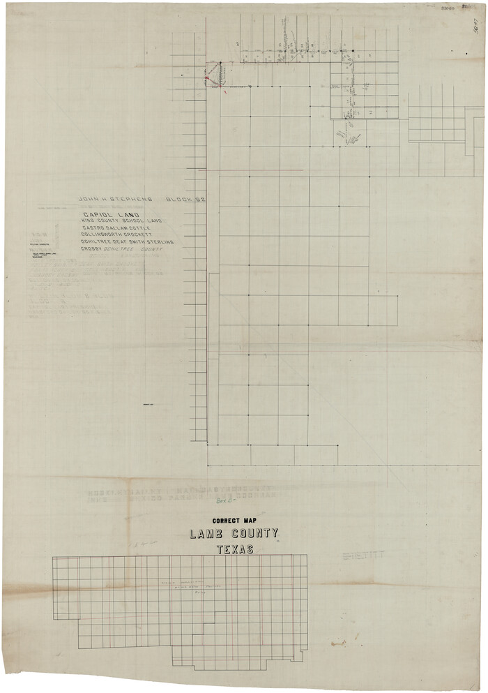

Print $40.00
- Digital $50.00
Correct Map Lamb County (skeleton sketch)
Size 56.2 x 79.4 inches
Map/Doc 93139
[Portion of Block 178, Block C3 and Sections 48-65, Block 1, I. & G. N.]
![91648, [Portion of Block 178, Block C3 and Sections 48-65, Block 1, I. & G. N.], Twichell Survey Records](https://historictexasmaps.com/wmedia_w700/maps/91648-1.tif.jpg)
![91648, [Portion of Block 178, Block C3 and Sections 48-65, Block 1, I. & G. N.], Twichell Survey Records](https://historictexasmaps.com/wmedia_w700/maps/91648-1.tif.jpg)
Print $2.00
- Digital $50.00
[Portion of Block 178, Block C3 and Sections 48-65, Block 1, I. & G. N.]
Size 9.1 x 14.7 inches
Map/Doc 91648
[Texas and Pacific Railway Company, Block 44, Township One South]
![89846, [Texas and Pacific Railway Company, Block 44, Township One South], Twichell Survey Records](https://historictexasmaps.com/wmedia_w700/maps/89846-1.tif.jpg)
![89846, [Texas and Pacific Railway Company, Block 44, Township One South], Twichell Survey Records](https://historictexasmaps.com/wmedia_w700/maps/89846-1.tif.jpg)
Print $40.00
- Digital $50.00
[Texas and Pacific Railway Company, Block 44, Township One South]
1912
Size 41.1 x 56.4 inches
Map/Doc 89846
D. B. Gardner vs. Mrs. Clara C. Starr, Details 1, 2, 3, and 4
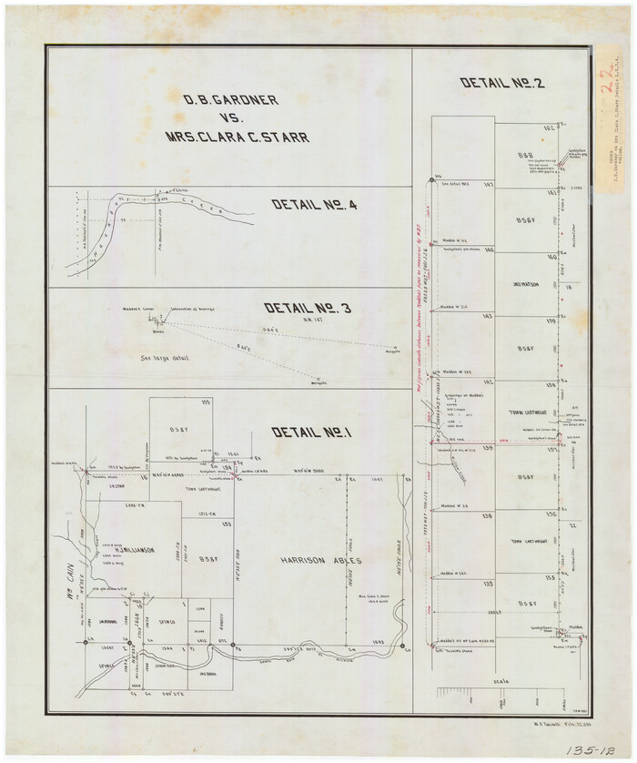

Print $20.00
- Digital $50.00
D. B. Gardner vs. Mrs. Clara C. Starr, Details 1, 2, 3, and 4
Size 25.1 x 30.0 inches
Map/Doc 91045
Eastern Heights Addition - Preliminary Plat Showing Subdivision of SW/4 of SW/4 - Sectin 5 Block O as Proposed by Mr. H. Sieber 38.43 Ac.
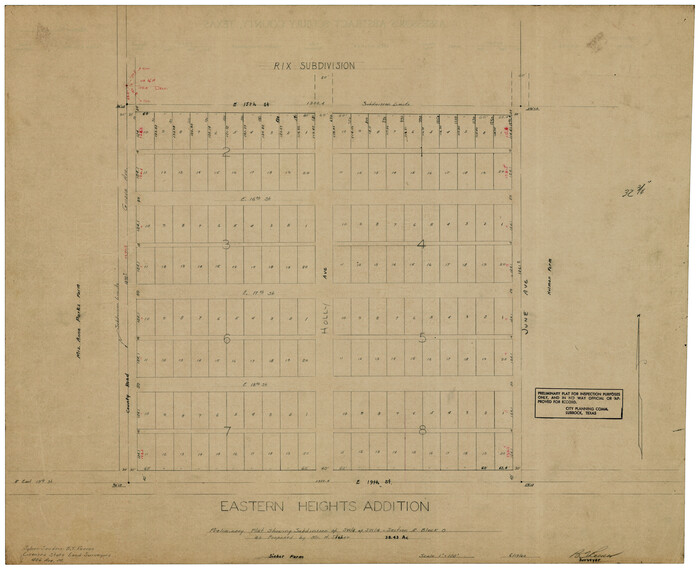

Print $20.00
- Digital $50.00
Eastern Heights Addition - Preliminary Plat Showing Subdivision of SW/4 of SW/4 - Sectin 5 Block O as Proposed by Mr. H. Sieber 38.43 Ac.
1952
Size 23.8 x 19.8 inches
Map/Doc 92811
You may also like
Gray County Sketch File 12
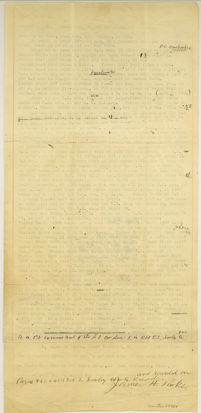

Print $6.00
- Digital $50.00
Gray County Sketch File 12
1889
Size 17.0 x 8.3 inches
Map/Doc 24454
Midland County
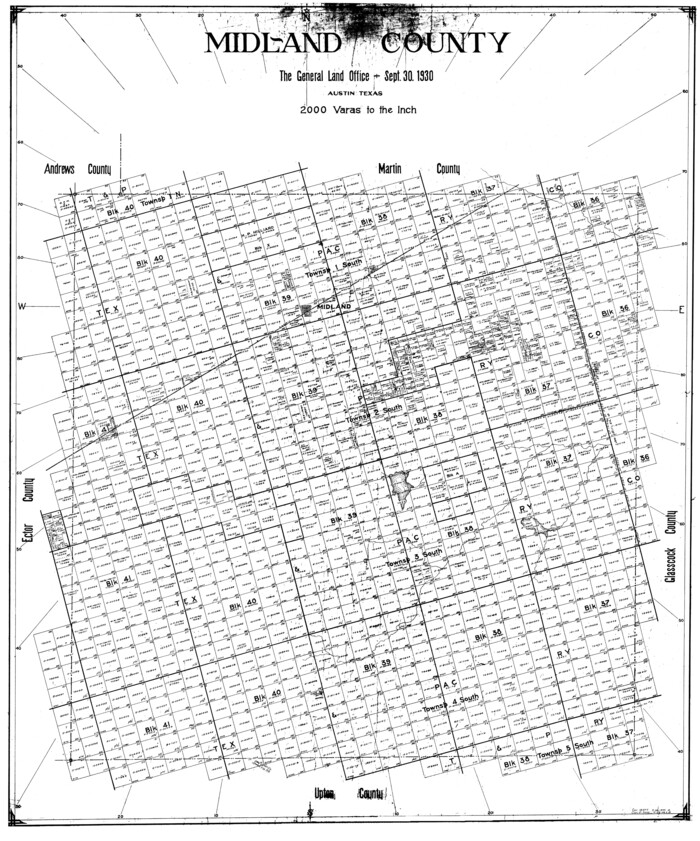

Print $20.00
- Digital $50.00
Midland County
1930
Size 39.8 x 33.1 inches
Map/Doc 77372
Flight Mission No. BRE-1P, Frame 100, Nueces County
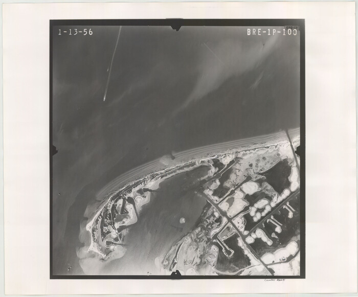

Print $20.00
- Digital $50.00
Flight Mission No. BRE-1P, Frame 100, Nueces County
1956
Size 18.4 x 22.1 inches
Map/Doc 86671
Val Verde County


Print $20.00
- Digital $50.00
Val Verde County
1944
Size 42.0 x 37.0 inches
Map/Doc 63103
Brewster County Rolled Sketch 43
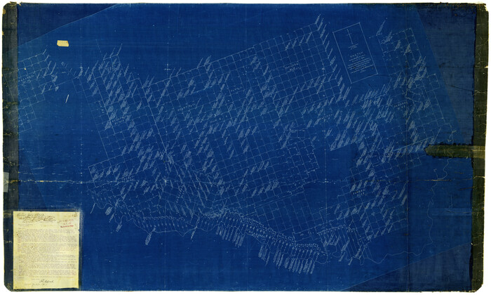

Print $40.00
- Digital $50.00
Brewster County Rolled Sketch 43
1913
Size 38.6 x 63.8 inches
Map/Doc 8476
Gulf of Mexico


Print $20.00
- Digital $50.00
Gulf of Mexico
1946
Size 36.2 x 43.7 inches
Map/Doc 73550
Palo Pinto County Working Sketch 23
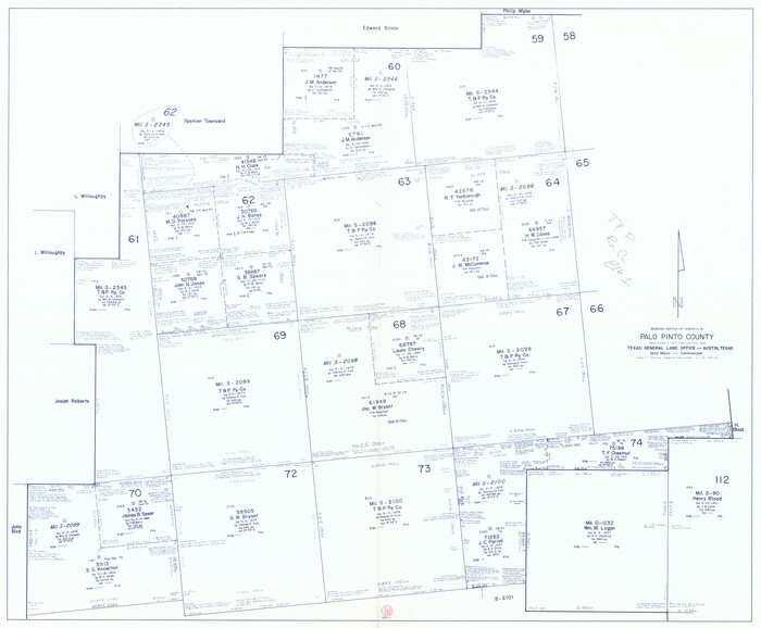

Print $40.00
- Digital $50.00
Palo Pinto County Working Sketch 23
1985
Map/Doc 71406
Duval County Sketch File 69
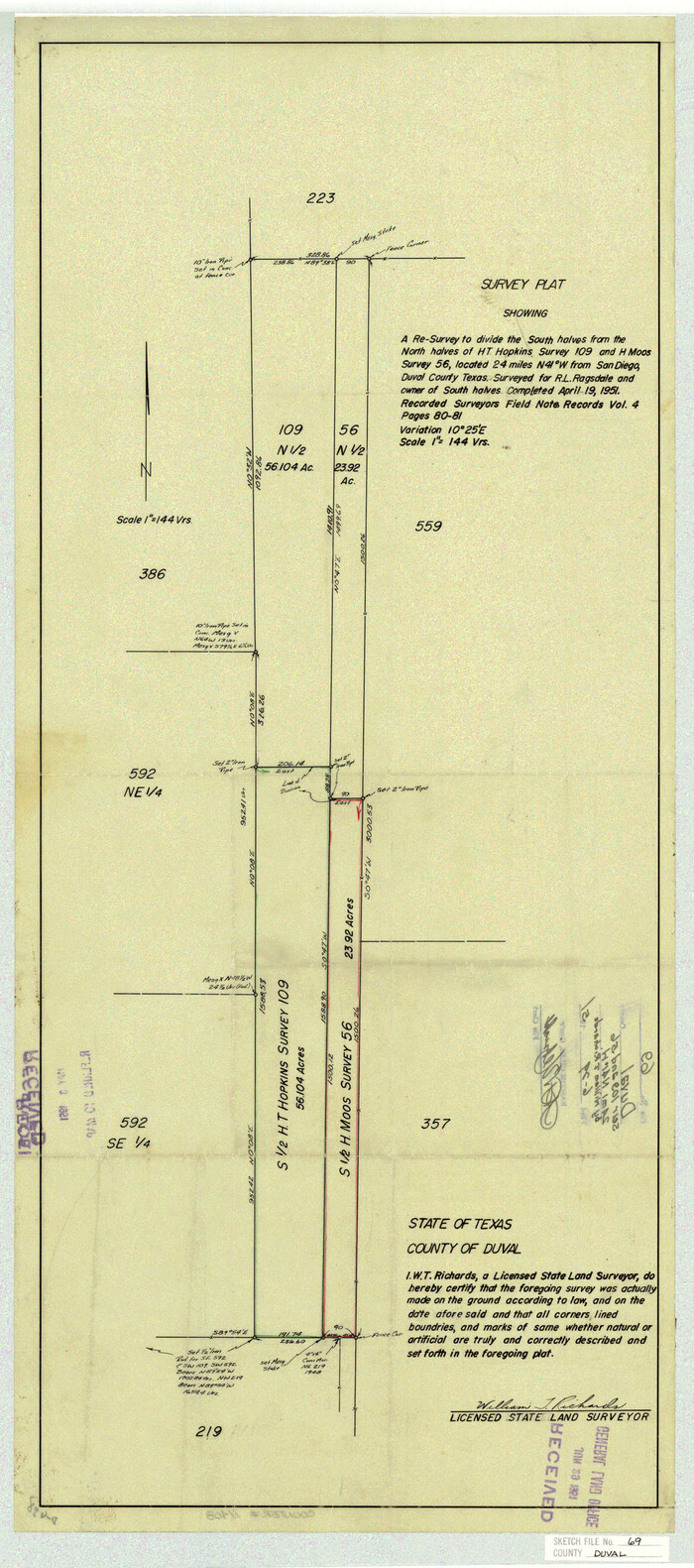

Print $20.00
- Digital $50.00
Duval County Sketch File 69
1951
Size 30.2 x 13.3 inches
Map/Doc 11408
San Benito, Texas in the Lower Rio Grande Valley [Frisco Lines]
![95795, San Benito, Texas in the Lower Rio Grande Valley [Frisco Lines], Cobb Digital Map Collection](https://historictexasmaps.com/wmedia_w700/maps/95795.tif.jpg)
![95795, San Benito, Texas in the Lower Rio Grande Valley [Frisco Lines], Cobb Digital Map Collection](https://historictexasmaps.com/wmedia_w700/maps/95795.tif.jpg)
Print $20.00
- Digital $50.00
San Benito, Texas in the Lower Rio Grande Valley [Frisco Lines]
1910
Size 19.5 x 19.4 inches
Map/Doc 95795
El Paso County Rolled Sketch Z51
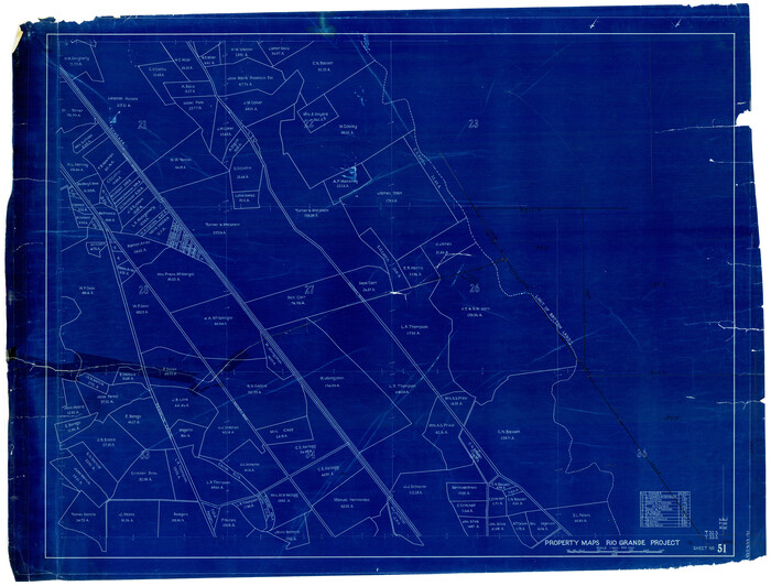

Print $40.00
- Digital $50.00
El Paso County Rolled Sketch Z51
1915
Size 37.2 x 49.0 inches
Map/Doc 8868
[Leagues 657- 666, 671- 674, 685- 687]
![91070, [Leagues 657- 666, 671- 674, 685- 687], Twichell Survey Records](https://historictexasmaps.com/wmedia_w700/maps/91070-1.tif.jpg)
![91070, [Leagues 657- 666, 671- 674, 685- 687], Twichell Survey Records](https://historictexasmaps.com/wmedia_w700/maps/91070-1.tif.jpg)
Print $20.00
- Digital $50.00
[Leagues 657- 666, 671- 674, 685- 687]
Size 35.8 x 25.6 inches
Map/Doc 91070
Galveston County
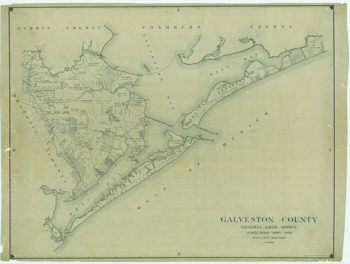

Print $40.00
- Digital $50.00
Galveston County
1939
Size 44.6 x 59.1 inches
Map/Doc 66835
![92445, [Blocks D, DD Showing Terrain], Twichell Survey Records](https://historictexasmaps.com/wmedia_w1800h1800/maps/92445-1.tif.jpg)
