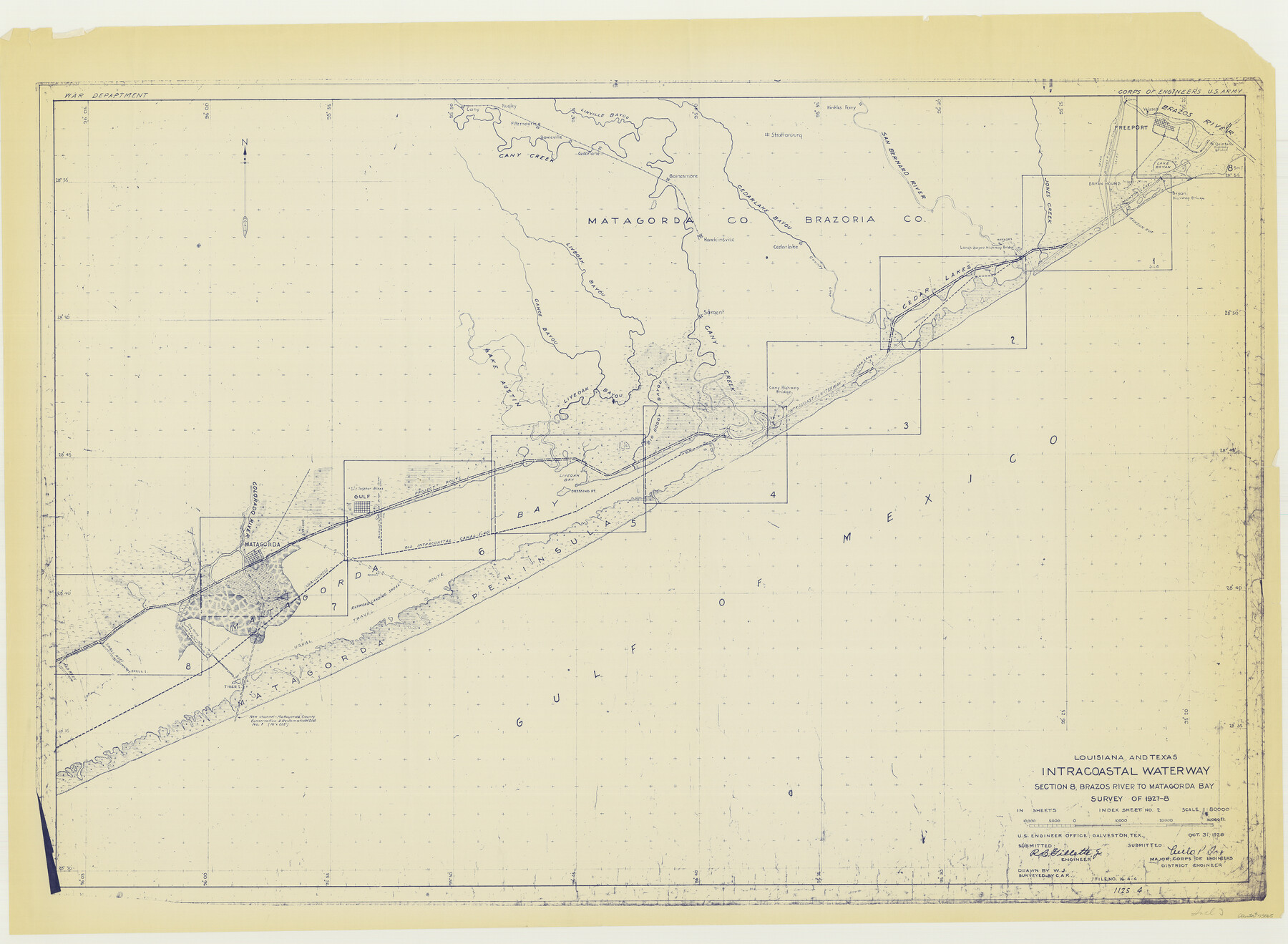
Louisiana and Texas Intracoastal Waterway, Section 7, Galveston Bay to Brazos River and Section 8, Brazos River to Matagorda Bay
-
Map/Doc
73065
-
Collection
General Map Collection
-
Object Dates
1928 (Creation Date)
-
Subjects
Intracoastal Waterways
-
Height x Width
31.3 x 42.7 inches
79.5 x 108.5 cm
Part of: General Map Collection
Flight Mission No. CUI-1H, Frame 96, Milam County

Print $20.00
- Digital $50.00
Flight Mission No. CUI-1H, Frame 96, Milam County
1951
Size 18.7 x 22.5 inches
Map/Doc 86604
Crosby County Working Sketch 10

Print $20.00
- Digital $50.00
Crosby County Working Sketch 10
1946
Size 44.5 x 23.7 inches
Map/Doc 68444
Eastland County Sketch File 3

Print $4.00
- Digital $50.00
Eastland County Sketch File 3
1860
Size 10.2 x 8.3 inches
Map/Doc 21566
Aransas County Sketch File 22

Print $34.00
- Digital $50.00
Aransas County Sketch File 22
1910
Size 14.8 x 9.1 inches
Map/Doc 13166
Erath County Sketch File 1

Print $4.00
- Digital $50.00
Erath County Sketch File 1
Size 3.9 x 8.1 inches
Map/Doc 22253

[Sketch for Mineral Application 16700 - Pecos River Bed]
![2807, [Sketch for Mineral Application 16700 - Pecos River Bed], General Map Collection](https://historictexasmaps.com/wmedia_w700/maps/2807.tif.jpg)
Print $20.00
- Digital $50.00
[Sketch for Mineral Application 16700 - Pecos River Bed]
1927
Size 32.9 x 15.3 inches
Map/Doc 2807
Pecos County Working Sketch 21

Print $20.00
- Digital $50.00
Pecos County Working Sketch 21
1925
Size 27.3 x 29.0 inches
Map/Doc 71491
Potter County Boundary File 4a

Print $80.00
- Digital $50.00
Potter County Boundary File 4a
Size 15.2 x 99.1 inches
Map/Doc 58011
San Patricio County Sketch File 6

Print $4.00
- Digital $50.00
San Patricio County Sketch File 6
Size 8.7 x 5.5 inches
Map/Doc 36035
King County Boundary File 2

Print $54.00
- Digital $50.00
King County Boundary File 2
Size 8.8 x 7.7 inches
Map/Doc 64887
Medina County Working Sketch 12

Print $20.00
- Digital $50.00
Medina County Working Sketch 12
1971
Size 24.2 x 23.9 inches
Map/Doc 70927
You may also like
Map of Jackson County

Print $20.00
- Digital $50.00
Map of Jackson County
1840
Size 34.9 x 25.3 inches
Map/Doc 3707
Map of the Capitol Land Reservation

Print $40.00
- Digital $50.00
Map of the Capitol Land Reservation
Size 26.3 x 49.5 inches
Map/Doc 92042
[San Antonio & Aransas Pass R.R. Right of Way from Eagle Lake to Brazos River]
![64256, [San Antonio & Aransas Pass R.R. Right of Way from Eagle Lake to Brazos River], General Map Collection](https://historictexasmaps.com/wmedia_w700/maps/64256.tif.jpg)
Print $40.00
- Digital $50.00
[San Antonio & Aransas Pass R.R. Right of Way from Eagle Lake to Brazos River]
1895
Size 30.8 x 124.9 inches
Map/Doc 64256
Val Verde County Working Sketch 43

Print $20.00
- Digital $50.00
Val Verde County Working Sketch 43
1945
Size 39.3 x 37.2 inches
Map/Doc 72178
Smith County Rolled Sketch 2

Print $20.00
- Digital $50.00
Smith County Rolled Sketch 2
Size 36.2 x 34.6 inches
Map/Doc 76010
Brooks County

Print $20.00
- Digital $50.00
Brooks County
1955
Size 42.6 x 34.6 inches
Map/Doc 95440
[Northwest corner of the County]
![90873, [Northwest corner of the County], Twichell Survey Records](https://historictexasmaps.com/wmedia_w700/maps/90873-2.tif.jpg)
Print $20.00
- Digital $50.00
[Northwest corner of the County]
1903
Size 19.1 x 21.5 inches
Map/Doc 90873
Pecos County Sketch File 28a

Print $20.00
- Digital $50.00
Pecos County Sketch File 28a
Size 24.3 x 26.6 inches
Map/Doc 12169
Map of the Texas & Pacific Railway from Fort Worth to El Paso

Print $40.00
- Digital $50.00
Map of the Texas & Pacific Railway from Fort Worth to El Paso
Size 24.0 x 76.5 inches
Map/Doc 64511
Culberson County Sketch File 38

Print $20.00
- Digital $50.00
Culberson County Sketch File 38
1964
Size 21.7 x 18.6 inches
Map/Doc 11274
Midland County Rolled Sketch 6

Print $20.00
- Digital $50.00
Midland County Rolled Sketch 6
1951
Size 39.8 x 28.6 inches
Map/Doc 6764
PSL Field Notes for Block B13 in Crane, Ector, Ward, and Winkler Counties, Blocks B14 and B16 in Crane and Ector Counties, Blocks B7 and B8 in Ector and Winkler Counties and Block B15 in Ector County

PSL Field Notes for Block B13 in Crane, Ector, Ward, and Winkler Counties, Blocks B14 and B16 in Crane and Ector Counties, Blocks B7 and B8 in Ector and Winkler Counties and Block B15 in Ector County
Map/Doc 81651