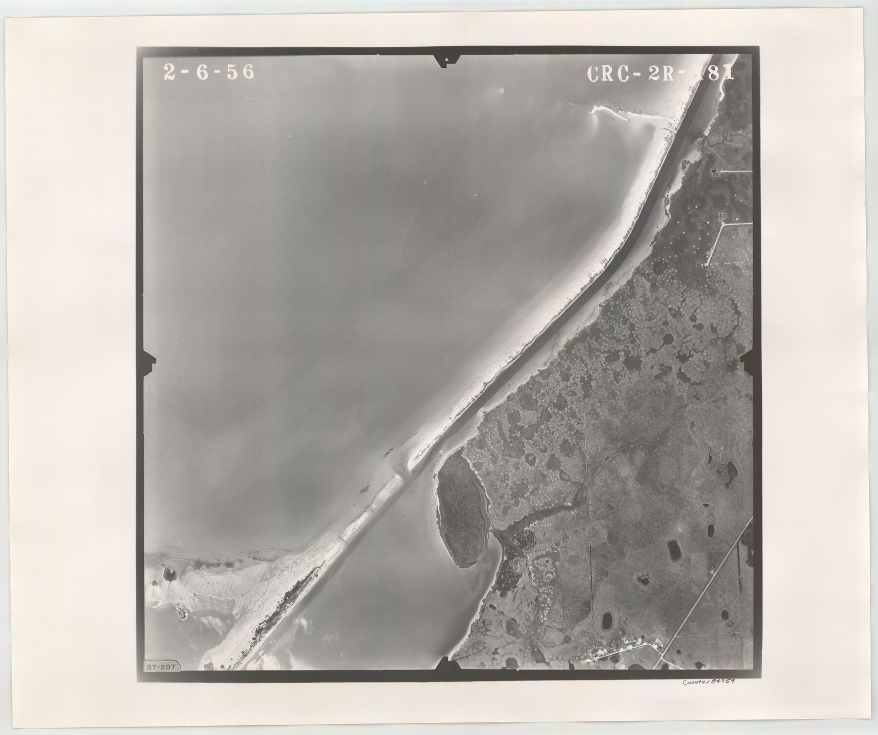
Flight Mission No. CRC-2R, Frame 181, Chambers County
CRC-2R-181
-
Map/Doc
84759
-
Collection
General Map Collection
-
Object Dates
1956/2/6 (Creation Date)
-
People and Organizations
U. S. Department of Agriculture (Publisher)
-
Counties
Chambers
-
Subjects
Aerial Photograph
-
Height x Width
18.7 x 22.4 inches
47.5 x 56.9 cm
-
Comments
Flown by Jack Ammann Photogrammetric Engineers, Inc. of San Antonio, Texas.
Part of: General Map Collection
Angelina County Working Sketch 33

Print $20.00
- Digital $50.00
Angelina County Working Sketch 33
1955
Size 22.7 x 24.2 inches
Map/Doc 67116
Houston County

Print $20.00
- Digital $50.00
Houston County
1888
Size 24.5 x 26.1 inches
Map/Doc 3683
Haskell County Sketch File 5

Print $4.00
- Digital $50.00
Haskell County Sketch File 5
1856
Size 10.1 x 8.1 inches
Map/Doc 26124
Comanche County Working Sketch 6

Print $20.00
- Digital $50.00
Comanche County Working Sketch 6
1935
Size 26.4 x 17.8 inches
Map/Doc 68140

Hartley County Sketch File 6

Print $20.00
- Digital $50.00
Hartley County Sketch File 6
Size 30.5 x 25.6 inches
Map/Doc 11698
[Cotton Belt, St. Louis Southwestern Railway of Texas, Alignment through Smith County]
![64380, [Cotton Belt, St. Louis Southwestern Railway of Texas, Alignment through Smith County], General Map Collection](https://historictexasmaps.com/wmedia_w700/maps/64380.tif.jpg)
Print $20.00
- Digital $50.00
[Cotton Belt, St. Louis Southwestern Railway of Texas, Alignment through Smith County]
1903
Size 21.4 x 29.7 inches
Map/Doc 64380
Kimble County Sketch File 41

Print $10.00
- Digital $50.00
Kimble County Sketch File 41
1994
Size 11.2 x 8.7 inches
Map/Doc 29010
Starr County Sketch File 52

Print $4.00
- Digital $50.00
Starr County Sketch File 52
Size 13.9 x 9.0 inches
Map/Doc 37011
Map of Jasper County

Print $20.00
- Digital $50.00
Map of Jasper County
1839
Size 41.6 x 28.5 inches
Map/Doc 3711
Atascosa County Sketch File 23

Print $40.00
- Digital $50.00
Atascosa County Sketch File 23
Size 17.1 x 21.2 inches
Map/Doc 10860
Trinity County Working Sketch Graphic Index

Print $20.00
- Digital $50.00
Trinity County Working Sketch Graphic Index
1946
Size 41.3 x 41.6 inches
Map/Doc 76718
You may also like
Jefferson County Working Sketch 6

Print $20.00
- Digital $50.00
Jefferson County Working Sketch 6
1930
Size 34.7 x 34.8 inches
Map/Doc 66549
Hartley County Working Sketch 3

Print $20.00
- Digital $50.00
Hartley County Working Sketch 3
1928
Size 24.6 x 24.0 inches
Map/Doc 66053
San Augustine County Sketch File 23

Print $12.00
San Augustine County Sketch File 23
1992
Size 14.5 x 9.0 inches
Map/Doc 35689
Flight Mission No. DQN-2K, Frame 163, Calhoun County

Print $20.00
- Digital $50.00
Flight Mission No. DQN-2K, Frame 163, Calhoun County
1953
Size 18.5 x 22.2 inches
Map/Doc 84325
Zapata County Sketch File 12a

Print $42.00
- Digital $50.00
Zapata County Sketch File 12a
1921
Size 11.2 x 8.7 inches
Map/Doc 40949
Kenedy County Rolled Sketch 3

Print $40.00
- Digital $50.00
Kenedy County Rolled Sketch 3
1904
Size 40.1 x 57.4 inches
Map/Doc 9329
Coast of Texas and its defences

Print $20.00
- Digital $50.00
Coast of Texas and its defences
Size 27.6 x 18.2 inches
Map/Doc 72685
Motley County Sketch File 16 (N)

Print $16.00
- Digital $50.00
Motley County Sketch File 16 (N)
1911
Size 11.0 x 8.6 inches
Map/Doc 32052
[Motley and Foard County School Land Leagues]
![90179, [Motley and Foard County School Land Leagues], Twichell Survey Records](https://historictexasmaps.com/wmedia_w700/maps/90179-1.tif.jpg)
Print $20.00
- Digital $50.00
[Motley and Foard County School Land Leagues]
Size 22.8 x 29.6 inches
Map/Doc 90179
La Salle County Sketch File 1

Print $5.00
- Digital $50.00
La Salle County Sketch File 1
1850
Size 14.2 x 9.2 inches
Map/Doc 29443
[Part of T. & N. O. RR. Co Block 2 and area around Jasper Hays survey]
![90850, [Part of T. & N. O. RR. Co Block 2 and area around Jasper Hays survey], Twichell Survey Records](https://historictexasmaps.com/wmedia_w700/maps/90850-2.tif.jpg)
Print $20.00
- Digital $50.00
[Part of T. & N. O. RR. Co Block 2 and area around Jasper Hays survey]
1907
Size 13.3 x 28.4 inches
Map/Doc 90850
Nautical Chart 518-SC: Galveston Bay Entrance

Print $20.00
- Digital $50.00
Nautical Chart 518-SC: Galveston Bay Entrance
1971
Size 19.2 x 19.1 inches
Map/Doc 75909