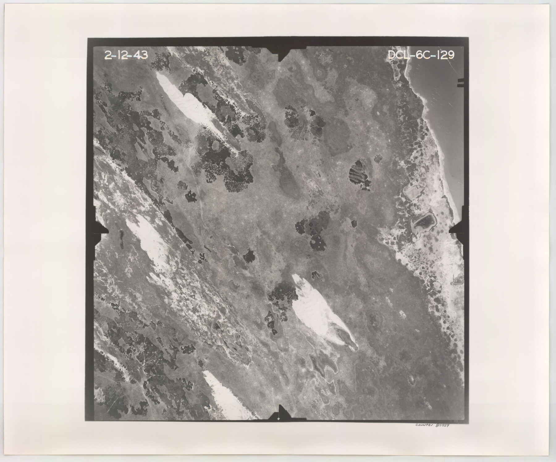
Flight Mission No. DCL-6C, Frame 129, Kenedy County
DCL-6C-129
-
Map/Doc
85959
-
Collection
General Map Collection
-
Object Dates
1943/2/12 (Creation Date)
-
People and Organizations
U. S. Department of Agriculture (Publisher)
-
Counties
Kenedy
-
Subjects
Aerial Photograph
-
Height x Width
18.5 x 22.3 inches
47.0 x 56.6 cm
-
Comments
Flown by Aerial Surveys of Pittsburgh, Inc. of Pittsburgh, Pennsylvania.
Part of: General Map Collection
Matagorda County Working Sketch 10

Print $20.00
- Digital $50.00
Matagorda County Working Sketch 10
1958
Size 27.8 x 33.3 inches
Map/Doc 70868
Bosque County Sketch File 5

Print $6.00
- Digital $50.00
Bosque County Sketch File 5
1847
Size 15.7 x 10.4 inches
Map/Doc 14746
El Paso County Rolled Sketch 33

Print $42.00
- Digital $50.00
El Paso County Rolled Sketch 33
Size 35.1 x 25.6 inches
Map/Doc 8867
Flight Mission No. BQR-9K, Frame 7, Brazoria County

Print $20.00
- Digital $50.00
Flight Mission No. BQR-9K, Frame 7, Brazoria County
1952
Size 18.7 x 22.5 inches
Map/Doc 84036
Flight Mission No. CRC-4R, Frame 163, Chambers County

Print $20.00
- Digital $50.00
Flight Mission No. CRC-4R, Frame 163, Chambers County
1956
Size 18.5 x 22.4 inches
Map/Doc 84922
San Patricio County

Print $40.00
- Digital $50.00
San Patricio County
1939
Size 39.3 x 48.3 inches
Map/Doc 73283
Abandoned and Canceled Surveys - Volume 3 of 3, Counties L-Z

Abandoned and Canceled Surveys - Volume 3 of 3, Counties L-Z
Map/Doc 83250
Brazoria County Sketch File 20

Print $40.00
- Digital $50.00
Brazoria County Sketch File 20
1853
Size 22.3 x 15.0 inches
Map/Doc 10953
Hardin County Working Sketch 42

Print $20.00
- Digital $50.00
Hardin County Working Sketch 42
1917
Size 16.2 x 22.1 inches
Map/Doc 63441
Uvalde County Sketch File 7

Print $6.00
- Digital $50.00
Uvalde County Sketch File 7
Size 14.5 x 11.4 inches
Map/Doc 38962

Reagan County

Print $40.00
- Digital $50.00
Reagan County
1915
Size 51.6 x 38.6 inches
Map/Doc 73340
You may also like
Map of Navarro County

Print $20.00
- Digital $50.00
Map of Navarro County
1858
Size 19.3 x 25.8 inches
Map/Doc 3912
Aransas County Boundary File 5b

Print $8.00
- Digital $50.00
Aransas County Boundary File 5b
Size 14.3 x 8.8 inches
Map/Doc 49802
Portions of Galveston and East Bays and the Gulf of Mexico in Galveston County, showing Subdivision for Mineral Development

Print $20.00
- Digital $50.00
Portions of Galveston and East Bays and the Gulf of Mexico in Galveston County, showing Subdivision for Mineral Development
1978
Size 38.1 x 25.8 inches
Map/Doc 1904
Parker County Sketch File 47

Print $20.00
- Digital $50.00
Parker County Sketch File 47
1857
Size 16.4 x 34.7 inches
Map/Doc 12151
Flight Mission No. CLL-1N, Frame 40, Willacy County

Print $20.00
- Digital $50.00
Flight Mission No. CLL-1N, Frame 40, Willacy County
1954
Size 18.5 x 22.2 inches
Map/Doc 87021

Zapata County Sketch File 1

Print $20.00
- Digital $50.00
Zapata County Sketch File 1
1875
Size 30.5 x 21.4 inches
Map/Doc 12717
Harris County Rolled Sketch 86

Print $20.00
- Digital $50.00
Harris County Rolled Sketch 86
1947
Size 38.3 x 34.1 inches
Map/Doc 73577
Cameron County Working Sketch 3

Print $20.00
- Digital $50.00
Cameron County Working Sketch 3
1964
Size 40.8 x 38.6 inches
Map/Doc 67882
Tom Green County Sketch File 13

Print $4.00
- Digital $50.00
Tom Green County Sketch File 13
Size 6.3 x 8.4 inches
Map/Doc 38170
Midland County Rolled Sketch 14

Print $20.00
- Digital $50.00
Midland County Rolled Sketch 14
1996
Size 21.3 x 26.7 inches
Map/Doc 6769
Live Oak County Working Sketch 6

Print $20.00
- Digital $50.00
Live Oak County Working Sketch 6
1930
Size 17.6 x 21.6 inches
Map/Doc 70591