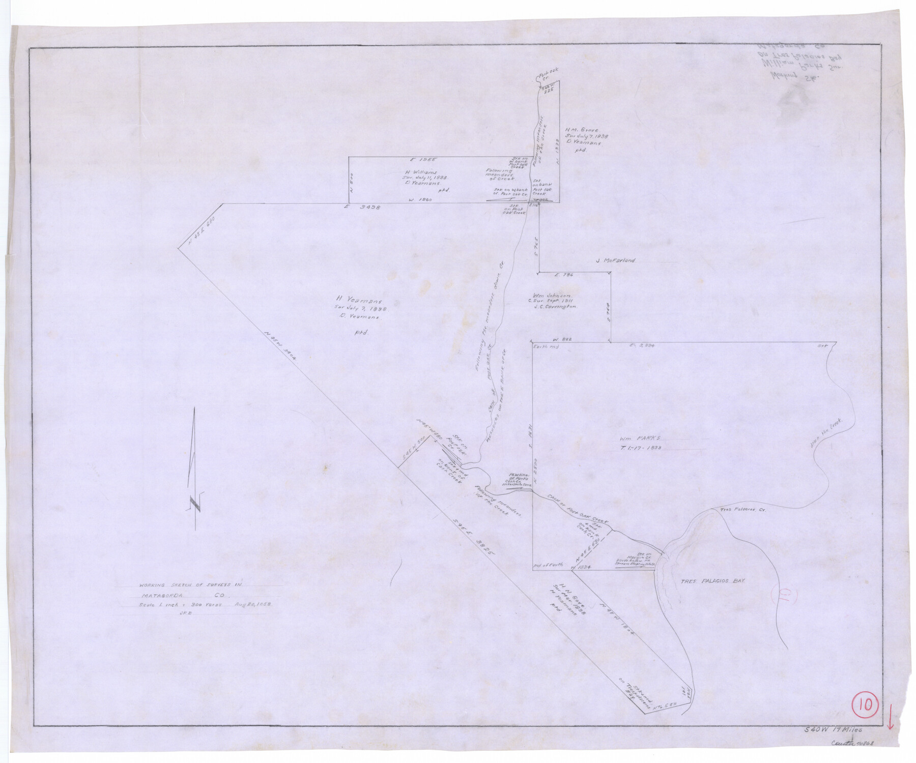
Matagorda County Working Sketch 10
-
Map/Doc
70868
-
Collection
General Map Collection
-
Object Dates
8/20/1958 (Creation Date)
-
Counties
Matagorda
-
Subjects
Surveying Working Sketch
-
Height x Width
27.8 x 33.3 inches
70.6 x 84.6 cm
-
Scale
1" = 300 varas
Part of: General Map Collection
Kerr County Sketch File 13

Print $11.00
- Digital $50.00
Kerr County Sketch File 13
1927
Size 16.9 x 8.1 inches
Map/Doc 28883
Collin County Sketch File 15

Print $4.00
- Digital $50.00
Collin County Sketch File 15
1873
Size 10.0 x 8.0 inches
Map/Doc 18880
Kendall County Working Sketch 19

Print $20.00
- Digital $50.00
Kendall County Working Sketch 19
1970
Size 31.5 x 33.4 inches
Map/Doc 66691
[Sketch for Mineral Application 1112 - Colorado River, H. E. Chambers]
![65639, [Sketch for Mineral Application 1112 - Colorado River, H. E. Chambers], General Map Collection](https://historictexasmaps.com/wmedia_w700/maps/65639.tif.jpg)
Print $20.00
- Digital $50.00
[Sketch for Mineral Application 1112 - Colorado River, H. E. Chambers]
1918
Size 17.3 x 28.3 inches
Map/Doc 65639
Fayette County Boundary File 7

Print $40.00
- Digital $50.00
Fayette County Boundary File 7
Size 18.1 x 13.1 inches
Map/Doc 53400
Flight Mission No. DCL-6C, Frame 2, Kenedy County

Print $20.00
- Digital $50.00
Flight Mission No. DCL-6C, Frame 2, Kenedy County
1943
Size 18.6 x 22.4 inches
Map/Doc 85862
Culberson County Rolled Sketch 66

Print $20.00
- Digital $50.00
Culberson County Rolled Sketch 66
1987
Size 24.4 x 19.7 inches
Map/Doc 5682
Dickens County Working Sketch 6

Print $20.00
- Digital $50.00
Dickens County Working Sketch 6
1932
Size 23.7 x 30.7 inches
Map/Doc 68654
Wood County Working Sketch 9

Print $20.00
- Digital $50.00
Wood County Working Sketch 9
1943
Size 36.0 x 28.5 inches
Map/Doc 62009
Travis County Appraisal District Plat Map 2_0604

Print $20.00
- Digital $50.00
Travis County Appraisal District Plat Map 2_0604
Size 21.5 x 26.4 inches
Map/Doc 94234
Atascosa County Working Sketch 1a

Print $20.00
- Digital $50.00
Atascosa County Working Sketch 1a
1908
Size 35.8 x 40.2 inches
Map/Doc 67194
Brewster County Sketch File N-4

Print $6.00
- Digital $50.00
Brewster County Sketch File N-4
1904
Size 8.7 x 13.2 inches
Map/Doc 15602
You may also like
Current Miscellaneous File 95

Print $24.00
- Digital $50.00
Current Miscellaneous File 95
1994
Size 8.8 x 11.3 inches
Map/Doc 74270
Starr County Boundary File 99

Print $56.00
- Digital $50.00
Starr County Boundary File 99
Size 9.2 x 6.2 inches
Map/Doc 58846
United States - Gulf Coast - Padre I. and Laguna Madre Lat. 27° 12' to Lat. 26° 33' Texas

Print $20.00
- Digital $50.00
United States - Gulf Coast - Padre I. and Laguna Madre Lat. 27° 12' to Lat. 26° 33' Texas
1913
Size 26.8 x 18.2 inches
Map/Doc 72815
Layout of the porciones as described in the Visita General of Camargo, 1767

Layout of the porciones as described in the Visita General of Camargo, 1767
2009
Size 11.0 x 8.5 inches
Map/Doc 94041
Grayson County Boundary File 35

Print $42.00
- Digital $50.00
Grayson County Boundary File 35
Size 9.3 x 7.9 inches
Map/Doc 53961
Flight Mission No. DCL-7C, Frame 36, Kenedy County

Print $20.00
- Digital $50.00
Flight Mission No. DCL-7C, Frame 36, Kenedy County
1943
Size 18.5 x 22.4 inches
Map/Doc 86024
Bandera County Working Sketch 53

Print $20.00
- Digital $50.00
Bandera County Working Sketch 53
1985
Size 34.0 x 36.0 inches
Map/Doc 67649
Stremme General Land Office Drawings, front view

Print $20.00
Stremme General Land Office Drawings, front view
Size 14.0 x 20.8 inches
Map/Doc 79738
Terrell County Working Sketch 65

Print $40.00
- Digital $50.00
Terrell County Working Sketch 65
1972
Size 49.0 x 44.8 inches
Map/Doc 69586
Sabine Bank to East Bay including Heald Bank

Print $20.00
- Digital $50.00
Sabine Bank to East Bay including Heald Bank
1982
Size 44.8 x 34.3 inches
Map/Doc 69852
Outlots Lying Adjacent to Smyer Hockley County, Texas Located on Parts of Labors 7, 8, 13, and 14, League 1. Jones County School Land

Print $20.00
- Digital $50.00
Outlots Lying Adjacent to Smyer Hockley County, Texas Located on Parts of Labors 7, 8, 13, and 14, League 1. Jones County School Land
Size 32.6 x 20.4 inches
Map/Doc 92224
Galveston County NRC Article 33.136 Sketch 35

Print $42.00
- Digital $50.00
Galveston County NRC Article 33.136 Sketch 35
2005
Size 24.3 x 36.6 inches
Map/Doc 83406