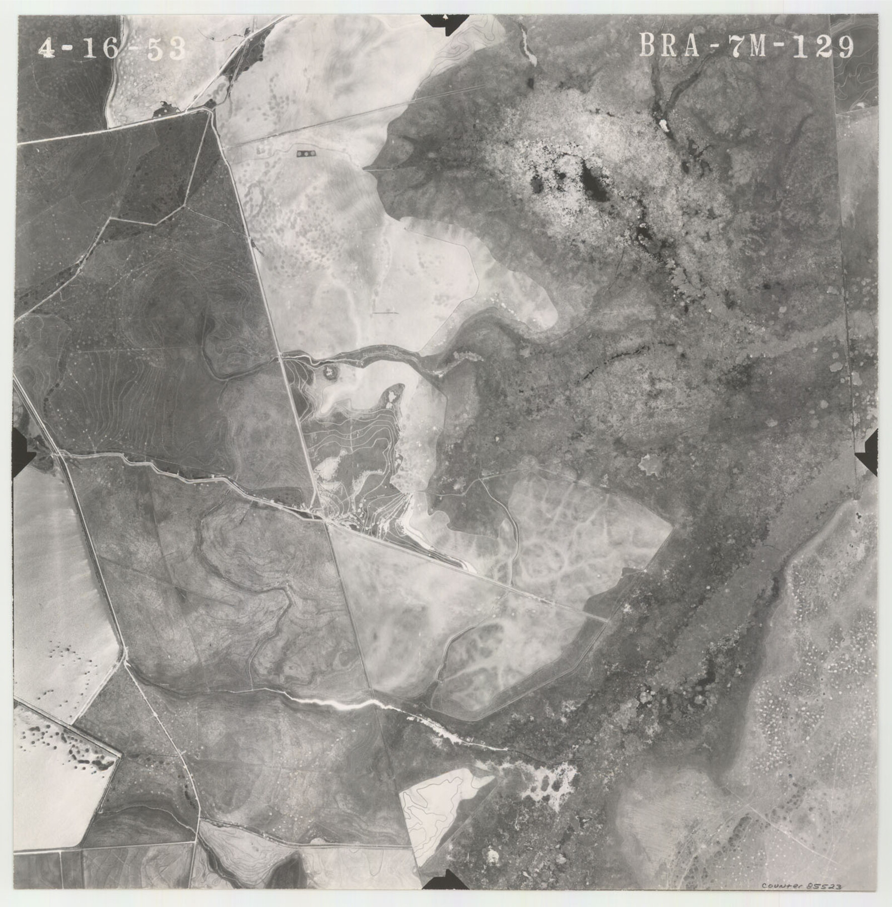
Flight Mission No. BRA-7M, Frame 129, Jefferson County
BRA-7M-129
-
Map/Doc
85523
-
Collection
General Map Collection
-
Object Dates
1953/4/16 (Creation Date)
-
People and Organizations
U. S. Department of Agriculture (Publisher)
-
Counties
Jefferson
-
Subjects
Aerial Photograph
-
Height x Width
16.3 x 16.0 inches
41.4 x 40.6 cm
-
Comments
Flown by Jack Ammann Photogrammetric Engineers of San Antonio, Texas.
Part of: General Map Collection
Knox County Working Sketch 9

Print $20.00
- Digital $50.00
Knox County Working Sketch 9
1945
Size 33.8 x 43.3 inches
Map/Doc 70251
Flight Mission No. BRA-16M, Frame 130, Jefferson County

Print $20.00
- Digital $50.00
Flight Mission No. BRA-16M, Frame 130, Jefferson County
1953
Size 18.5 x 22.5 inches
Map/Doc 85740
Matagorda County Working Sketch 8

Print $20.00
- Digital $50.00
Matagorda County Working Sketch 8
1953
Size 22.3 x 29.0 inches
Map/Doc 70866
Webb County Working Sketch 45

Print $20.00
- Digital $50.00
Webb County Working Sketch 45
1944
Size 28.1 x 28.9 inches
Map/Doc 72410
Motley County Boundary File 2b

Print $60.00
- Digital $50.00
Motley County Boundary File 2b
Size 14.3 x 8.8 inches
Map/Doc 57521
Liberty County Sketch File 19

Print $6.00
- Digital $50.00
Liberty County Sketch File 19
1859
Size 13.6 x 9.4 inches
Map/Doc 29923
Floyd County Sketch File 14

Print $10.00
- Digital $50.00
Floyd County Sketch File 14
1913
Size 11.3 x 8.7 inches
Map/Doc 22731
Flight Mission No. BRA-8M, Frame 135, Jefferson County

Print $20.00
- Digital $50.00
Flight Mission No. BRA-8M, Frame 135, Jefferson County
1953
Size 18.7 x 22.3 inches
Map/Doc 85631
Matagorda Bay and Approaches

Print $20.00
- Digital $50.00
Matagorda Bay and Approaches
1931
Size 34.9 x 44.4 inches
Map/Doc 73378
Wichita County Working Sketch 9

Print $20.00
- Digital $50.00
Wichita County Working Sketch 9
1920
Size 23.7 x 17.6 inches
Map/Doc 72518
Kendall County Sketch File 26

Print $12.00
- Digital $50.00
Kendall County Sketch File 26
1950
Size 11.2 x 8.8 inches
Map/Doc 28725
Map of Armstrong County

Print $20.00
- Digital $50.00
Map of Armstrong County
1881
Size 25.8 x 19.9 inches
Map/Doc 3243
You may also like
Kimble County Working Sketch 3

Print $20.00
- Digital $50.00
Kimble County Working Sketch 3
1897
Size 16.4 x 21.4 inches
Map/Doc 70071
Burnet County

Print $20.00
- Digital $50.00
Burnet County
1888
Size 47.0 x 44.5 inches
Map/Doc 42995
[Sketch for Mineral Application 16700 - Pecos River Bed]
![2810, [Sketch for Mineral Application 16700 - Pecos River Bed], General Map Collection](https://historictexasmaps.com/wmedia_w700/maps/2810.tif.jpg)
Print $20.00
- Digital $50.00
[Sketch for Mineral Application 16700 - Pecos River Bed]
1927
Size 17.0 x 36.1 inches
Map/Doc 2810
United States - Gulf Coast - Galveston to Rio Grande

Print $20.00
- Digital $50.00
United States - Gulf Coast - Galveston to Rio Grande
1919
Size 27.1 x 18.3 inches
Map/Doc 72745

North Part of Brewster Co.

Print $20.00
- Digital $50.00
North Part of Brewster Co.
1956
Size 42.4 x 40.7 inches
Map/Doc 95437
Map of the Cotton Belt Route, St. Louis Southwestern Railway Co., St. Louis Southwestern Railway Co. of Texas, Tyler Southeastern Railway Co. and connections

Print $20.00
- Digital $50.00
Map of the Cotton Belt Route, St. Louis Southwestern Railway Co., St. Louis Southwestern Railway Co. of Texas, Tyler Southeastern Railway Co. and connections
1898
Size 15.3 x 35.7 inches
Map/Doc 93954
T. C. Ivey Ranch Block D

Print $20.00
- Digital $50.00
T. C. Ivey Ranch Block D
Size 17.5 x 14.8 inches
Map/Doc 92846
Mme. Begue and her Recipes - Old Creole Cookery

Mme. Begue and her Recipes - Old Creole Cookery
1900
Size 5.9 x 3.9 inches
Map/Doc 96607

Coryell County Boundary File 3

Print $14.00
- Digital $50.00
Coryell County Boundary File 3
Size 13.2 x 8.2 inches
Map/Doc 51907
Flight Mission No. CGI-1N, Frame 183, Cameron County

Print $20.00
- Digital $50.00
Flight Mission No. CGI-1N, Frame 183, Cameron County
1955
Size 18.8 x 22.2 inches
Map/Doc 84518