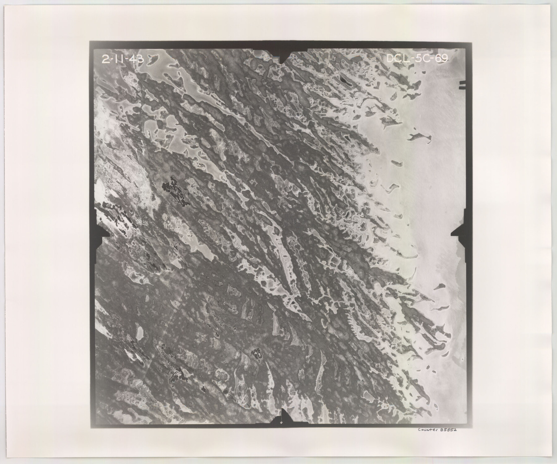
Flight Mission No. DCL-5C, Frame 69, Kenedy County
DCL-5C-69
-
Map/Doc
85852
-
Collection
General Map Collection
-
Object Dates
1943/2/11 (Creation Date)
-
People and Organizations
U. S. Department of Agriculture (Publisher)
-
Counties
Kenedy
-
Subjects
Aerial Photograph
-
Height x Width
18.5 x 22.3 inches
47.0 x 56.6 cm
-
Comments
Flown by Aerial Surveys of Pittsburgh, Inc. of Pittsburgh, Pennsylvania.
Part of: General Map Collection
Map of Kerr County Texas

Print $20.00
- Digital $50.00
Map of Kerr County Texas
1879
Size 20.3 x 28.3 inches
Map/Doc 3763
Texas Coordinate File 2

Print $6.00
- Digital $50.00
Texas Coordinate File 2
Size 11.2 x 8.8 inches
Map/Doc 75303
Burnet County Working Sketch 14

Print $20.00
- Digital $50.00
Burnet County Working Sketch 14
1978
Size 37.0 x 38.5 inches
Map/Doc 67857
Hemphill County Working Sketch 20

Print $20.00
- Digital $50.00
Hemphill County Working Sketch 20
1972
Size 34.9 x 47.1 inches
Map/Doc 66115
Harrison County Working Sketch 23

Print $20.00
- Digital $50.00
Harrison County Working Sketch 23
1983
Size 43.2 x 32.2 inches
Map/Doc 66043
Kimble County Working Sketch 21

Print $20.00
- Digital $50.00
Kimble County Working Sketch 21
1929
Size 24.1 x 15.3 inches
Map/Doc 70089

Reagan County Rolled Sketch 31

Print $20.00
- Digital $50.00
Reagan County Rolled Sketch 31
1955
Size 26.5 x 28.8 inches
Map/Doc 7447
Current Miscellaneous File 109

Print $9.00
- Digital $50.00
Current Miscellaneous File 109
1967
Size 9.7 x 10.3 inches
Map/Doc 74710
Falls County Sketch File 4

Print $4.00
- Digital $50.00
Falls County Sketch File 4
1856
Size 10.3 x 8.3 inches
Map/Doc 22335
Val Verde County

Print $20.00
- Digital $50.00
Val Verde County
1944
Size 42.0 x 37.0 inches
Map/Doc 63103
Brooks County Rolled Sketch 29

Print $20.00
- Digital $50.00
Brooks County Rolled Sketch 29
1947
Size 31.3 x 22.9 inches
Map/Doc 5347
You may also like
Blanco County Working Sketch 27

Print $20.00
- Digital $50.00
Blanco County Working Sketch 27
1969
Size 31.9 x 31.8 inches
Map/Doc 67387
Harris County Rolled Sketch 30

Print $20.00
- Digital $50.00
Harris County Rolled Sketch 30
1889
Size 30.4 x 35.1 inches
Map/Doc 6096
Flight Mission No. DAG-19K, Frame 65, Matagorda County

Print $20.00
- Digital $50.00
Flight Mission No. DAG-19K, Frame 65, Matagorda County
1952
Size 18.5 x 22.3 inches
Map/Doc 86392
Duval County Working Sketch Graphic Index, Sheet 2 (Sketches 21 to Most Recent)

Print $20.00
- Digital $50.00
Duval County Working Sketch Graphic Index, Sheet 2 (Sketches 21 to Most Recent)
1934
Size 47.8 x 29.3 inches
Map/Doc 76528
Sutton County Sketch File 7

Print $4.00
- Digital $50.00
Sutton County Sketch File 7
Size 10.6 x 8.7 inches
Map/Doc 37365
Culberson County Working Sketch 58

Print $20.00
- Digital $50.00
Culberson County Working Sketch 58
1974
Size 45.2 x 35.1 inches
Map/Doc 68512
Duval County Boundary File 3l

Print $40.00
- Digital $50.00
Duval County Boundary File 3l
Size 13.4 x 17.1 inches
Map/Doc 52761
San Saba County Sketch File 13A

Print $20.00
- Digital $50.00
San Saba County Sketch File 13A
1891
Size 25.2 x 17.6 inches
Map/Doc 12292

Flight Mission No. DAG-17K, Frame 125, Matagorda County

Print $20.00
- Digital $50.00
Flight Mission No. DAG-17K, Frame 125, Matagorda County
1952
Size 18.6 x 22.4 inches
Map/Doc 86345
Austin County Boundary File 5

Print $6.00
- Digital $50.00
Austin County Boundary File 5
Size 14.3 x 8.5 inches
Map/Doc 50249
[Block B5, Capitol Leagues 217, 218, and 239]
![91438, [Block B5, Capitol Leagues 217, 218, and 239], Twichell Survey Records](https://historictexasmaps.com/wmedia_w700/maps/91438-1.tif.jpg)
Print $3.00
- Digital $50.00
[Block B5, Capitol Leagues 217, 218, and 239]
Size 15.1 x 10.0 inches
Map/Doc 91438