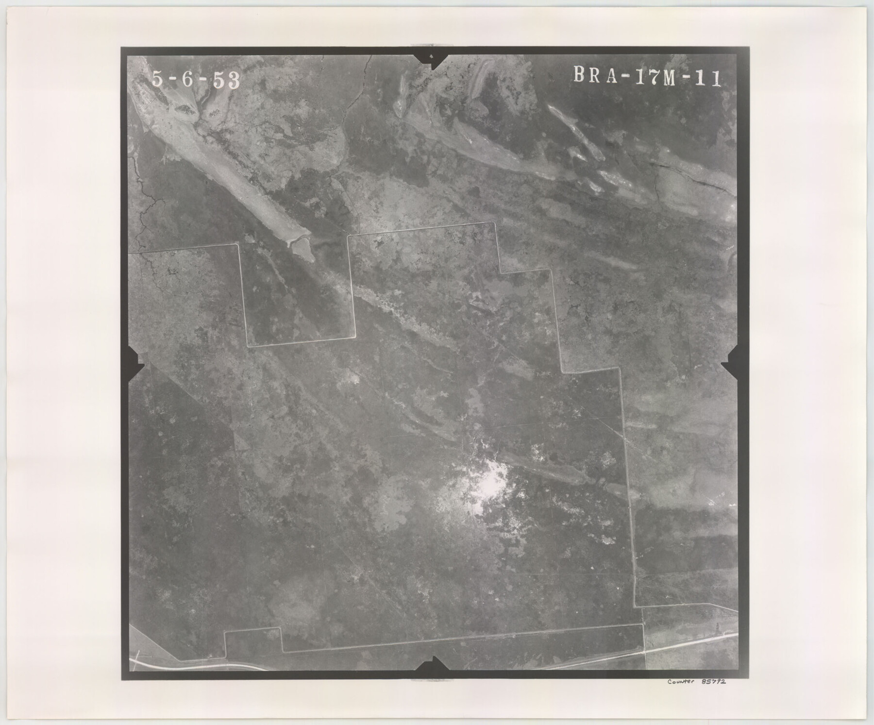
Flight Mission No. BRA-17M, Frame 11, Jefferson County
BRA-17M-11
-
Map/Doc
85792
-
Collection
General Map Collection
-
Object Dates
1953/5/6 (Creation Date)
-
People and Organizations
U. S. Department of Agriculture (Publisher)
-
Counties
Jefferson
-
Subjects
Aerial Photograph
-
Height x Width
18.4 x 22.2 inches
46.7 x 56.4 cm
-
Comments
Flown by Jack Ammann Photogrammetric Engineers of San Antonio, Texas.
Part of: General Map Collection
Trinity River, Walker's Lake Sheet/Richland Creek

Print $20.00
- Digital $50.00
Trinity River, Walker's Lake Sheet/Richland Creek
1931
Size 25.9 x 41.2 inches
Map/Doc 65226
Map of subdivision of submerged land in the Gulf of Mexico fronting on Matagorda Island and Peninsula

Print $40.00
- Digital $50.00
Map of subdivision of submerged land in the Gulf of Mexico fronting on Matagorda Island and Peninsula
1940
Size 28.3 x 60.5 inches
Map/Doc 2928
Kinney County Rolled Sketch 2

Print $20.00
- Digital $50.00
Kinney County Rolled Sketch 2
Size 24.5 x 36.2 inches
Map/Doc 6534
Jeff Davis County Working Sketch 2

Print $40.00
- Digital $50.00
Jeff Davis County Working Sketch 2
Size 25.3 x 48.4 inches
Map/Doc 66497

Harris County Working Sketch 73

Print $20.00
- Digital $50.00
Harris County Working Sketch 73
1959
Size 33.5 x 38.1 inches
Map/Doc 65965
Midland County Rolled Sketch 14

Print $40.00
- Digital $50.00
Midland County Rolled Sketch 14
Size 102.9 x 43.8 inches
Map/Doc 73579
Flight Mission No. BQR-14K, Frame 37, Brazoria County

Print $20.00
- Digital $50.00
Flight Mission No. BQR-14K, Frame 37, Brazoria County
1952
Size 18.6 x 22.2 inches
Map/Doc 84094
El Paso County Working Sketch 31

Print $20.00
- Digital $50.00
El Paso County Working Sketch 31
1970
Size 30.9 x 26.0 inches
Map/Doc 69053
Reeves County Rolled Sketch 26

Print $20.00
- Digital $50.00
Reeves County Rolled Sketch 26
1985
Size 21.6 x 27.7 inches
Map/Doc 7495
Matagorda County Rolled Sketch 37A

Print $40.00
- Digital $50.00
Matagorda County Rolled Sketch 37A
Size 48.7 x 41.1 inches
Map/Doc 10195
Runnels County Rolled Sketch 33

Print $20.00
- Digital $50.00
Runnels County Rolled Sketch 33
Size 22.5 x 43.5 inches
Map/Doc 7520
You may also like
Harrison County Working Sketch 29

Print $20.00
- Digital $50.00
Harrison County Working Sketch 29
Size 33.7 x 37.0 inches
Map/Doc 66049
Navigation Maps of Gulf Intracoastal Waterway, Port Arthur to Brownsville, Texas

Print $4.00
- Digital $50.00
Navigation Maps of Gulf Intracoastal Waterway, Port Arthur to Brownsville, Texas
1951
Size 16.6 x 21.5 inches
Map/Doc 65452
Runnels County Working Sketch 1

Print $20.00
- Digital $50.00
Runnels County Working Sketch 1
Size 15.9 x 14.4 inches
Map/Doc 63597
Harris County Sketch File F

Print $4.00
- Digital $50.00
Harris County Sketch File F
1860
Size 10.1 x 5.1 inches
Map/Doc 25317
Fannin County Boundary File 1a

Print $40.00
- Digital $50.00
Fannin County Boundary File 1a
1882
Size 36.5 x 9.5 inches
Map/Doc 53279
Southern Pacific Rice Belt

Print $40.00
- Digital $50.00
Southern Pacific Rice Belt
Size 31.6 x 57.9 inches
Map/Doc 96793
Limestone County Sketch File 14

Print $4.00
- Digital $50.00
Limestone County Sketch File 14
1883
Size 10.7 x 8.2 inches
Map/Doc 30179
[Worksheets related to the Wilson Strickland survey and vicinity]
![91265, [Vicinity and related to the Wilson Strickland Survey], Twichell Survey Records](https://historictexasmaps.com/wmedia_w700/maps/91265-1.tif.jpg)
Print $20.00
- Digital $50.00
[Worksheets related to the Wilson Strickland survey and vicinity]
Size 39.0 x 11.6 inches
Map/Doc 91265
Presidio County Working Sketch 91

Print $40.00
- Digital $50.00
Presidio County Working Sketch 91
1974
Size 42.0 x 59.4 inches
Map/Doc 71768
Kent County Working Sketch 3b

Print $20.00
- Digital $50.00
Kent County Working Sketch 3b
1948
Size 24.9 x 23.3 inches
Map/Doc 70010
Map Showing Location and Right of Way of Proposed Groins - to be built by U.S. Government Along Seawall at Galveston, Texas

Print $20.00
- Digital $50.00
Map Showing Location and Right of Way of Proposed Groins - to be built by U.S. Government Along Seawall at Galveston, Texas
1935
Size 20.8 x 36.3 inches
Map/Doc 73622
A Plat of the League of land surveyed on the south-west side of the Rio San Bernardo between it and the Bay-Prairie

Print $20.00
- Digital $50.00
A Plat of the League of land surveyed on the south-west side of the Rio San Bernardo between it and the Bay-Prairie
1831
Size 37.3 x 24.0 inches
Map/Doc 13