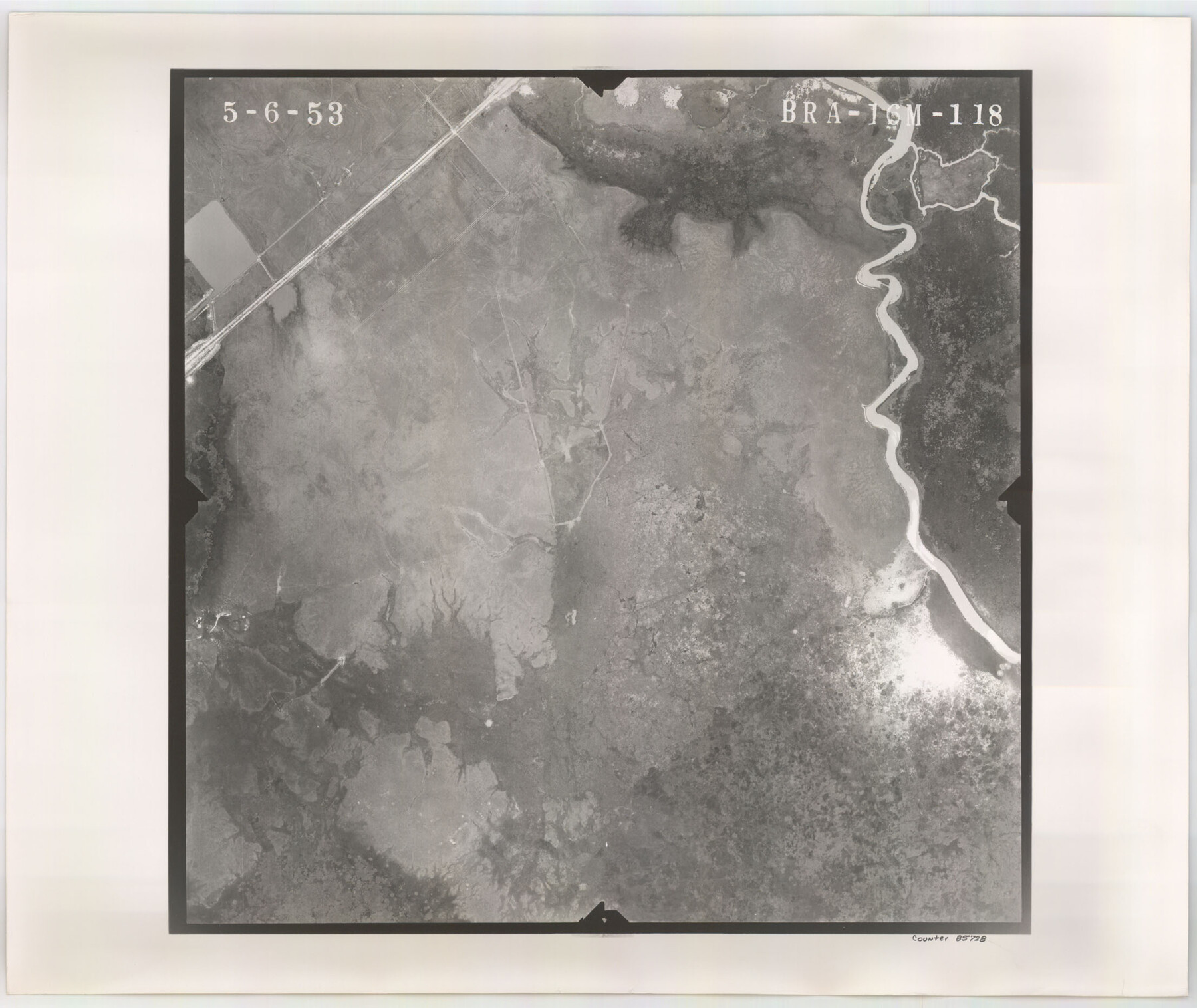
Flight Mission No. BRA-16M, Frame 118, Jefferson County
BRA-16M-118
-
Map/Doc
85728
-
Collection
General Map Collection
-
Object Dates
1953/5/6 (Creation Date)
-
People and Organizations
U. S. Department of Agriculture (Publisher)
-
Counties
Jefferson
-
Subjects
Aerial Photograph
-
Height x Width
18.6 x 22.1 inches
47.2 x 56.1 cm
-
Comments
Flown by Jack Ammann Photogrammetric Engineers of San Antonio, Texas.
Part of: General Map Collection
Polk County Working Sketch 19

Print $20.00
- Digital $50.00
Polk County Working Sketch 19
1950
Size 34.0 x 26.5 inches
Map/Doc 71634
Presidio County Rolled Sketch 58

Print $20.00
- Digital $50.00
Presidio County Rolled Sketch 58
Size 26.1 x 36.6 inches
Map/Doc 7351
Flight Mission No. DCL-6C, Frame 181, Kenedy County

Print $20.00
- Digital $50.00
Flight Mission No. DCL-6C, Frame 181, Kenedy County
1943
Size 18.5 x 22.2 inches
Map/Doc 85993
City of Austin, Texas and Suburban Areas

Print $40.00
- Digital $50.00
City of Austin, Texas and Suburban Areas
1964
Size 48.3 x 34.4 inches
Map/Doc 73563
Pecos County Rolled Sketch 46

Print $3.00
- Digital $50.00
Pecos County Rolled Sketch 46
1913
Size 13.4 x 9.7 inches
Map/Doc 7224
Flight Mission No. CRK-5P, Frame 160, Refugio County

Print $20.00
- Digital $50.00
Flight Mission No. CRK-5P, Frame 160, Refugio County
1956
Size 18.6 x 22.4 inches
Map/Doc 86941
A Map of Matagorda Bay and County With the Adjacent County

Print $20.00
- Digital $50.00
A Map of Matagorda Bay and County With the Adjacent County
1839
Size 33.9 x 43.1 inches
Map/Doc 4855
Hunt County Boundary File 6

Print $6.00
- Digital $50.00
Hunt County Boundary File 6
Size 14.3 x 8.6 inches
Map/Doc 55225
Kaufman County Sketch File 1

Print $4.00
- Digital $50.00
Kaufman County Sketch File 1
Size 8.3 x 8.3 inches
Map/Doc 28624
Pecos County Working Sketch 18

Print $20.00
- Digital $50.00
Pecos County Working Sketch 18
1917
Size 18.4 x 20.9 inches
Map/Doc 71488

Falls of St. Anthony

Print $2.00
- Digital $50.00
Falls of St. Anthony
1810
Size 6.2 x 8.8 inches
Map/Doc 95152
You may also like
McMullen County Working Sketch 5

Print $20.00
- Digital $50.00
McMullen County Working Sketch 5
1923
Size 21.8 x 19.0 inches
Map/Doc 70706
[Block V and surrounding surveys]
![90293, [Block V and surrounding surveys], Twichell Survey Records](https://historictexasmaps.com/wmedia_w700/maps/90293-1.tif.jpg)
Print $20.00
- Digital $50.00
[Block V and surrounding surveys]
Size 12.0 x 12.6 inches
Map/Doc 90293
Copy of Surveyor's Field Book, Morris Browning - In Blocks 7, 5 & 4, I&GNRRCo., Hutchinson and Carson Counties, Texas

Print $2.00
- Digital $50.00
Copy of Surveyor's Field Book, Morris Browning - In Blocks 7, 5 & 4, I&GNRRCo., Hutchinson and Carson Counties, Texas
1888
Size 6.9 x 8.8 inches
Map/Doc 62271
Matagorda County Rolled Sketch 28

Print $20.00
- Digital $50.00
Matagorda County Rolled Sketch 28
1945
Size 33.3 x 43.4 inches
Map/Doc 9481
Menard County Working Sketch 11

Print $20.00
- Digital $50.00
Menard County Working Sketch 11
1939
Size 23.1 x 24.9 inches
Map/Doc 70958
Henderson County Sketch File 16

Print $40.00
- Digital $50.00
Henderson County Sketch File 16
1935
Size 14.9 x 16.3 inches
Map/Doc 26359
Flight Mission No. DQN-6K, Frame 91, Calhoun County

Print $20.00
- Digital $50.00
Flight Mission No. DQN-6K, Frame 91, Calhoun County
1953
Size 18.5 x 22.2 inches
Map/Doc 84451
General Highway Map, Cochran County, Texas

Print $20.00
General Highway Map, Cochran County, Texas
1940
Size 25.2 x 18.5 inches
Map/Doc 79048
Collin County Working Sketch 2

Print $20.00
- Digital $50.00
Collin County Working Sketch 2
1926
Size 15.2 x 17.7 inches
Map/Doc 68096
Williamson County Sketch File 9

Print $20.00
- Digital $50.00
Williamson County Sketch File 9
1850
Size 17.4 x 21.6 inches
Map/Doc 12692
Potter County Sketch File 14

Print $20.00
- Digital $50.00
Potter County Sketch File 14
Size 16.5 x 22.5 inches
Map/Doc 12200
Coleman County Working Sketch 14

Print $20.00
- Digital $50.00
Coleman County Working Sketch 14
1952
Size 27.8 x 21.2 inches
Map/Doc 68080