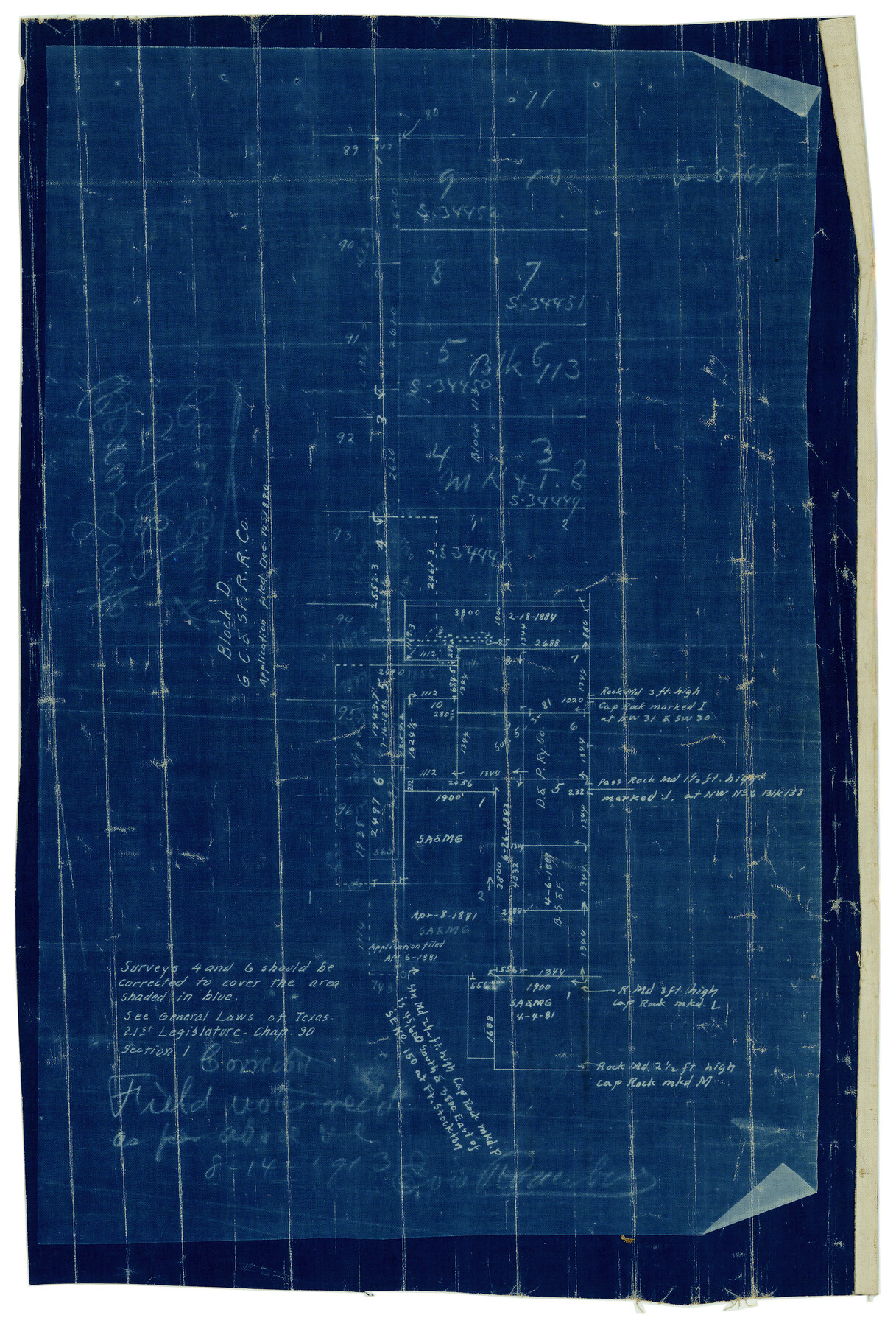
Pecos County Rolled Sketch 46
Small Sketch About 20 Miles South of Ft. Stockton, Pecos County, Texas
-
Map/Doc
7224
-
Collection
General Map Collection
-
Object Dates
8/14/1913 (Creation Date)
8/14/1913 (File Date)
-
Counties
Pecos
-
Subjects
Surveying Rolled Sketch
-
Height x Width
13.4 x 9.7 inches
34.0 x 24.6 cm
Part of: General Map Collection
Flight Mission No. DAG-23K, Frame 61, Matagorda County

Print $20.00
- Digital $50.00
Flight Mission No. DAG-23K, Frame 61, Matagorda County
1953
Size 16.0 x 15.7 inches
Map/Doc 86488
Hamilton County Working Sketch 29

Print $20.00
- Digital $50.00
Hamilton County Working Sketch 29
1981
Size 43.3 x 38.0 inches
Map/Doc 63367
Brewster County Working Sketch 27

Print $20.00
- Digital $50.00
Brewster County Working Sketch 27
1940
Size 31.2 x 33.1 inches
Map/Doc 67561
Uvalde County Working Sketch 63

Print $20.00
- Digital $50.00
Uvalde County Working Sketch 63
1995
Size 26.8 x 42.0 inches
Map/Doc 72133
Current Miscellaneous File 118

Print $214.00
- Digital $50.00
Current Miscellaneous File 118
Map/Doc 87238
Armstrong County Boundary File 5

Print $8.00
- Digital $50.00
Armstrong County Boundary File 5
Size 11.2 x 8.9 inches
Map/Doc 50149
Bexar County Sketch File 59

Print $4.00
- Digital $50.00
Bexar County Sketch File 59
Size 10.2 x 8.1 inches
Map/Doc 14576
Jeff Davis County Sketch File 20

Print $56.00
- Digital $50.00
Jeff Davis County Sketch File 20
1923
Size 11.2 x 8.8 inches
Map/Doc 27978
Lynn County Rolled Sketch 13

Print $20.00
- Digital $50.00
Lynn County Rolled Sketch 13
Size 36.2 x 24.7 inches
Map/Doc 6649
Mills County Boundary File 11

Print $20.00
- Digital $50.00
Mills County Boundary File 11
Size 17.2 x 22.1 inches
Map/Doc 57333
Flight Mission No. DQN-5K, Frame 148, Calhoun County

Print $20.00
- Digital $50.00
Flight Mission No. DQN-5K, Frame 148, Calhoun County
1953
Size 18.6 x 21.9 inches
Map/Doc 84423
Montgomery County Sketch File 6b

Print $40.00
- Digital $50.00
Montgomery County Sketch File 6b
Size 12.8 x 16.2 inches
Map/Doc 31783
You may also like
Runnels County Working Sketch 8

Print $20.00
- Digital $50.00
Runnels County Working Sketch 8
1948
Size 38.4 x 37.1 inches
Map/Doc 63604
A Geographically Correct Map of the State of Texas

Print $20.00
- Digital $50.00
A Geographically Correct Map of the State of Texas
1878
Size 19.5 x 21.0 inches
Map/Doc 95757
United States Gulf Coast - from Galveston to the Rio Grande

Print $20.00
- Digital $50.00
United States Gulf Coast - from Galveston to the Rio Grande
1915
Size 26.9 x 18.3 inches
Map/Doc 72732
Coast Chart No. 106, Galveston Bay to Oyster Bay, Texas

Print $20.00
Coast Chart No. 106, Galveston Bay to Oyster Bay, Texas
1858
Size 32.4 x 40.7 inches
Map/Doc 76252
Flight Mission No. DQN-7K, Frame 32, Calhoun County

Print $20.00
- Digital $50.00
Flight Mission No. DQN-7K, Frame 32, Calhoun County
1953
Size 18.6 x 22.2 inches
Map/Doc 84470
Williamson County Sketch File 6

Print $4.00
- Digital $50.00
Williamson County Sketch File 6
1848
Size 12.8 x 8.1 inches
Map/Doc 40314

Upton County Rolled Sketch 12A

Print $20.00
- Digital $50.00
Upton County Rolled Sketch 12A
1913
Size 29.7 x 37.8 inches
Map/Doc 8069
Stonewall County

Print $40.00
- Digital $50.00
Stonewall County
1888
Size 56.1 x 55.2 inches
Map/Doc 89056
Flight Mission No. CUG-1P, Frame 74, Kleberg County

Print $20.00
- Digital $50.00
Flight Mission No. CUG-1P, Frame 74, Kleberg County
1956
Size 18.5 x 22.3 inches
Map/Doc 86139
Polk County Rolled Sketch 28

Print $20.00
- Digital $50.00
Polk County Rolled Sketch 28
1951
Size 45.4 x 32.0 inches
Map/Doc 9757
Real County Rolled Sketch 18

Print $20.00
- Digital $50.00
Real County Rolled Sketch 18
Size 22.0 x 28.0 inches
Map/Doc 7463