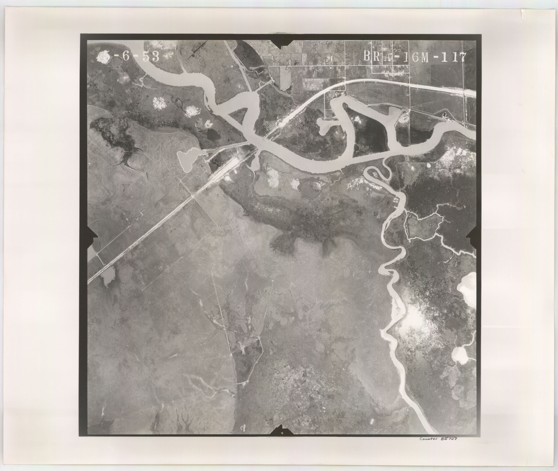
Flight Mission No. BRA-16M, Frame 117, Jefferson County
BRA-16M-117
-
Map/Doc
85727
-
Collection
General Map Collection
-
Object Dates
1953/5/6 (Creation Date)
-
People and Organizations
U. S. Department of Agriculture (Publisher)
-
Counties
Jefferson
-
Subjects
Aerial Photograph
-
Height x Width
18.7 x 22.1 inches
47.5 x 56.1 cm
-
Comments
Flown by Jack Ammann Photogrammetric Engineers of San Antonio, Texas.
Part of: General Map Collection
Bee County Sketch File 3

Print $6.00
- Digital $50.00
Bee County Sketch File 3
1846
Size 12.5 x 7.6 inches
Map/Doc 14261
Matagorda County Working Sketch 9

Print $20.00
- Digital $50.00
Matagorda County Working Sketch 9
1954
Size 26.5 x 22.3 inches
Map/Doc 70867
Reeves County Working Sketch 54

Print $20.00
- Digital $50.00
Reeves County Working Sketch 54
1978
Size 36.9 x 35.6 inches
Map/Doc 63497
Flight Mission No. DAG-21K, Frame 104, Matagorda County

Print $20.00
- Digital $50.00
Flight Mission No. DAG-21K, Frame 104, Matagorda County
1952
Size 18.7 x 22.3 inches
Map/Doc 86432
Callahan County Sketch File 9

Print $40.00
- Digital $50.00
Callahan County Sketch File 9
1880
Size 16.8 x 14.3 inches
Map/Doc 35871
Galveston County NRC Article 33.136 Sketch 70

Print $24.00
- Digital $50.00
Galveston County NRC Article 33.136 Sketch 70
2012
Size 24.0 x 24.3 inches
Map/Doc 95111
Wharton County Sketch File 24

Print $20.00
- Digital $50.00
Wharton County Sketch File 24
1919
Size 19.9 x 25.5 inches
Map/Doc 12668
Motley County Sketch File 7a (S)

Print $5.00
- Digital $50.00
Motley County Sketch File 7a (S)
1895
Size 9.6 x 8.8 inches
Map/Doc 32151
[Surveys in Milam District between the Bosque and Brazos Rivers]
![3, [Surveys in Milam District between the Bosque and Brazos Rivers], General Map Collection](https://historictexasmaps.com/wmedia_w700/maps/3.tif.jpg)
Print $20.00
- Digital $50.00
[Surveys in Milam District between the Bosque and Brazos Rivers]
1847
Size 15.8 x 12.2 inches
Map/Doc 3

Crockett County Rolled Sketch 27

Print $20.00
- Digital $50.00
Crockett County Rolled Sketch 27
1925
Size 20.8 x 38.0 inches
Map/Doc 5586
Coleman County Sketch File 34

Print $28.00
- Digital $50.00
Coleman County Sketch File 34
1878
Size 12.8 x 8.1 inches
Map/Doc 18726
You may also like
A Geographically Correct Map of the State of Texas

Print $20.00
- Digital $50.00
A Geographically Correct Map of the State of Texas
1876
Size 19.6 x 21.4 inches
Map/Doc 96508
Pecos County Working Sketch 137

Print $20.00
- Digital $50.00
Pecos County Working Sketch 137
1981
Size 32.3 x 28.4 inches
Map/Doc 71611
Map of the Middle States and part of the Southern engraved to illustrate Mitchell's school and family geography

Print $20.00
- Digital $50.00
Map of the Middle States and part of the Southern engraved to illustrate Mitchell's school and family geography
1839
Size 17.8 x 11.8 inches
Map/Doc 93496
[Galveston, Harrisburg & San Antonio through El Paso County]
![64004, [Galveston, Harrisburg & San Antonio through El Paso County], General Map Collection](https://historictexasmaps.com/wmedia_w700/maps/64004.tif.jpg)
Print $20.00
- Digital $50.00
[Galveston, Harrisburg & San Antonio through El Paso County]
Size 13.6 x 33.6 inches
Map/Doc 64004
Flight Mission No. DAG-21K, Frame 38, Matagorda County

Print $20.00
- Digital $50.00
Flight Mission No. DAG-21K, Frame 38, Matagorda County
1952
Size 18.6 x 22.3 inches
Map/Doc 86405
Map of Titus County

Print $20.00
- Digital $50.00
Map of Titus County
1857
Size 24.1 x 34.5 inches
Map/Doc 83380
Angelina County Working Sketch 44

Print $20.00
- Digital $50.00
Angelina County Working Sketch 44
1976
Size 22.2 x 25.7 inches
Map/Doc 67127
Flight Mission No. BQR-9K, Frame 49, Brazoria County

Print $20.00
- Digital $50.00
Flight Mission No. BQR-9K, Frame 49, Brazoria County
1952
Size 18.6 x 22.3 inches
Map/Doc 84053

Starr County Sketch File 14

Print $40.00
- Digital $50.00
Starr County Sketch File 14
Size 23.8 x 46.0 inches
Map/Doc 4626
Flight Mission No. DCL-6C, Frame 13, Kenedy County

Print $20.00
- Digital $50.00
Flight Mission No. DCL-6C, Frame 13, Kenedy County
1943
Size 18.6 x 22.3 inches
Map/Doc 85870
El Paso County Rolled Sketch 52

Print $20.00
- Digital $50.00
El Paso County Rolled Sketch 52
1932
Size 18.3 x 24.3 inches
Map/Doc 5843