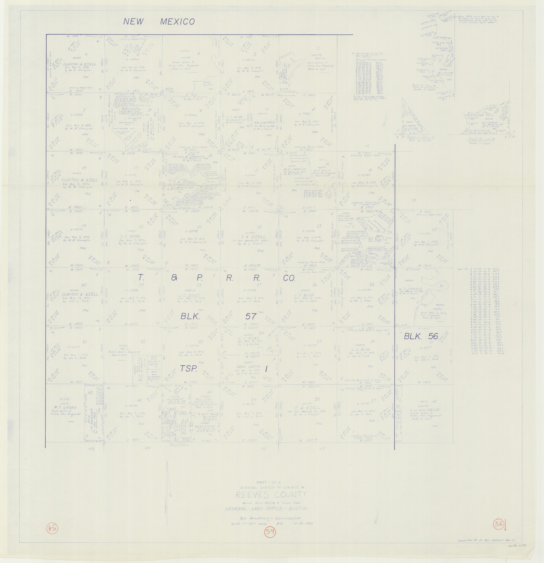
Reeves County Working Sketch 54
-
Map/Doc
63497
-
Collection
General Map Collection
-
Object Dates
10/18/1978 (Creation Date)
-
People and Organizations
Beverly Robison (Draftsman)
-
Counties
Reeves
-
Subjects
Surveying Working Sketch
-
Height x Width
36.9 x 35.6 inches
93.7 x 90.4 cm
-
Scale
1" = 500 varas
Part of: General Map Collection
Frio County Sketch File 2a

Print $6.00
- Digital $50.00
Frio County Sketch File 2a
1861
Size 16.0 x 11.0 inches
Map/Doc 23107
Red River County Working Sketch 47

Print $20.00
- Digital $50.00
Red River County Working Sketch 47
1969
Size 34.3 x 24.2 inches
Map/Doc 72030
West Part Presidio Co.

Print $20.00
- Digital $50.00
West Part Presidio Co.
1974
Size 40.5 x 31.4 inches
Map/Doc 77399
Ector County Boundary File 3

Print $18.00
- Digital $50.00
Ector County Boundary File 3
Size 9.0 x 4.4 inches
Map/Doc 52836
Jefferson County Working Sketch 1

Print $20.00
- Digital $50.00
Jefferson County Working Sketch 1
Size 22.7 x 17.5 inches
Map/Doc 66544
Calhoun County NRC Article 33.136 Sketch 8

Print $28.00
- Digital $50.00
Calhoun County NRC Article 33.136 Sketch 8
2019
Size 17.9 x 23.8 inches
Map/Doc 95371
Gonzales County

Print $20.00
- Digital $50.00
Gonzales County
1871
Size 17.2 x 25.8 inches
Map/Doc 3593
Flight Mission No. CLL-4N, Frame 35, Willacy County

Print $20.00
- Digital $50.00
Flight Mission No. CLL-4N, Frame 35, Willacy County
1954
Size 18.3 x 22.0 inches
Map/Doc 87108
Hamilton County Map

Print $40.00
- Digital $50.00
Hamilton County Map
1887
Size 38.2 x 54.4 inches
Map/Doc 16844
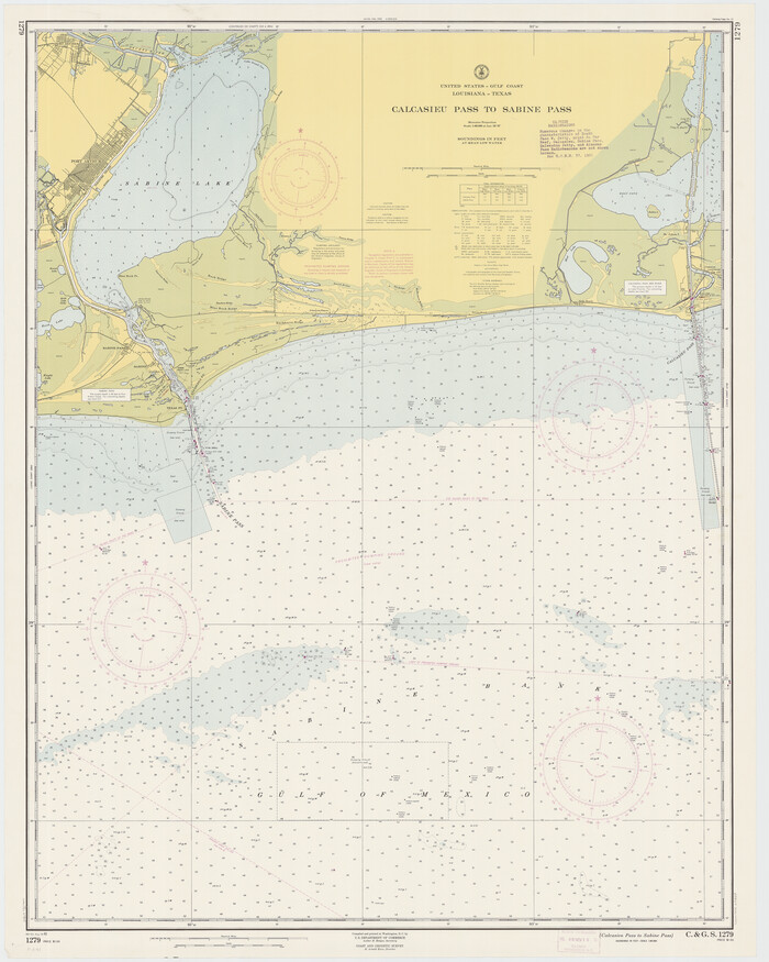
Calcasieu Pass to Sabine Pass
Print $20.00
- Digital $50.00
Calcasieu Pass to Sabine Pass
1961
Size 44.6 x 35.7 inches
Map/Doc 69809
Fort Bend County Sketch File 19

Print $4.00
- Digital $50.00
Fort Bend County Sketch File 19
1890
Size 13.0 x 8.7 inches
Map/Doc 22951
Gaines County Rolled Sketch 6

Print $20.00
- Digital $50.00
Gaines County Rolled Sketch 6
1913
Size 30.5 x 45.4 inches
Map/Doc 5927
You may also like
Falls County Sketch File 1

Print $4.00
- Digital $50.00
Falls County Sketch File 1
1852
Size 10.7 x 8.6 inches
Map/Doc 22330
Topographic Map of Texas and Oklahoma Boundary, Fort Augur Area

Print $20.00
Topographic Map of Texas and Oklahoma Boundary, Fort Augur Area
1924
Size 32.3 x 33.8 inches
Map/Doc 79755
Map of the Mexican National R.R. "Laredo Route" and Connections. The Scenic Short Line to the City of Mexico

Print $20.00
- Digital $50.00
Map of the Mexican National R.R. "Laredo Route" and Connections. The Scenic Short Line to the City of Mexico
1901
Size 24.2 x 24.3 inches
Map/Doc 95145
Pecos County Working Sketch 123

Print $20.00
- Digital $50.00
Pecos County Working Sketch 123
1973
Size 42.4 x 24.2 inches
Map/Doc 71596
No. 1. Outline Map of the Rio Grande from its mouth up to Ringold Barracks

Print $20.00
- Digital $50.00
No. 1. Outline Map of the Rio Grande from its mouth up to Ringold Barracks
Size 24.8 x 18.3 inches
Map/Doc 72857
Supreme Court of the United States October Term, 1926, No. 6, Original - State of Oklahoma, Complainant vs. The State of Texas, Defendant, the United States, Intervener; Fourth Report of the Boundary Commissioners

Print $482.00
- Digital $50.00
Supreme Court of the United States October Term, 1926, No. 6, Original - State of Oklahoma, Complainant vs. The State of Texas, Defendant, the United States, Intervener; Fourth Report of the Boundary Commissioners
1927
Size 6.0 x 9.2 inches
Map/Doc 3060
Sabine County Sketch File 5

Print $8.00
Sabine County Sketch File 5
1876
Size 12.9 x 8.5 inches
Map/Doc 35608
Hutchinson County Rolled Sketch 44-12

Print $20.00
- Digital $50.00
Hutchinson County Rolled Sketch 44-12
2002
Size 24.0 x 36.0 inches
Map/Doc 77548
Oldham School Land, Cochran County

Print $20.00
- Digital $50.00
Oldham School Land, Cochran County
Size 13.4 x 21.8 inches
Map/Doc 90302
Titus County Boundary File 29

Print $72.00
- Digital $50.00
Titus County Boundary File 29
Size 9.0 x 4.1 inches
Map/Doc 59311
Harris County Rolled Sketch 88

Print $20.00
- Digital $50.00
Harris County Rolled Sketch 88
1935
Size 19.2 x 22.5 inches
Map/Doc 6123
