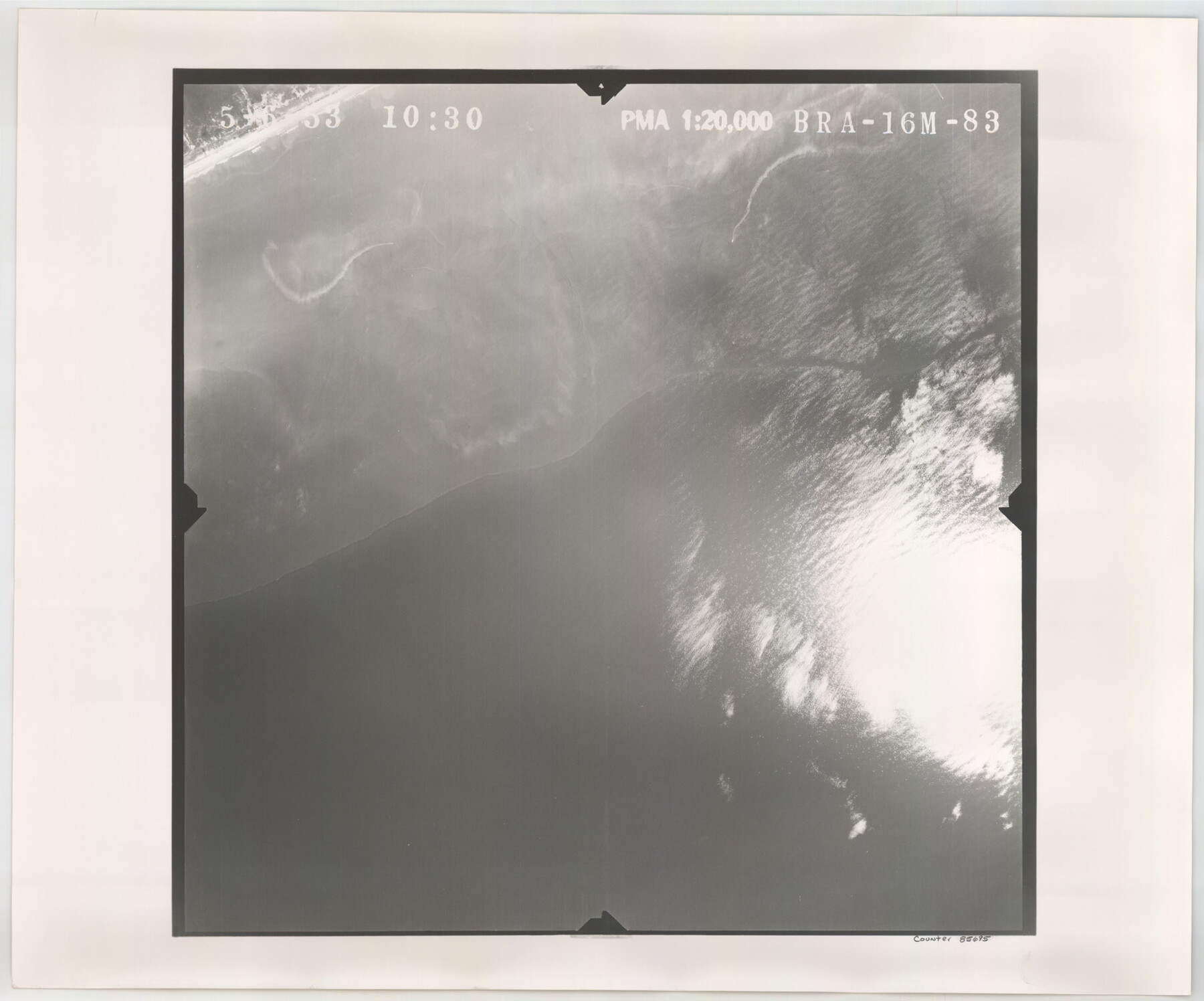
Flight Mission No. BRA-16M, Frame 83, Jefferson County
[Aerial Photo, Jefferson County, frame BRA-16M-77 (duplicate)]
-
Map/Doc
85695
-
Collection
General Map Collection
-
Object Dates
1953/5/6 (Creation Date)
-
People and Organizations
U. S. Department of Agriculture (Publisher)
-
Counties
Jefferson
-
Subjects
Aerial Photograph
-
Height x Width
18.5 x 22.3 inches
47.0 x 56.6 cm
-
Comments
Flown by Jack Ammann Photogrammetric Engineers of San Antonio, Texas.
Part of: General Map Collection
Red River County Sketch File 5

Print $4.00
- Digital $50.00
Red River County Sketch File 5
Size 7.9 x 4.8 inches
Map/Doc 35102
Map of Trinity Co.

Print $20.00
- Digital $50.00
Map of Trinity Co.
1896
Size 40.7 x 39.1 inches
Map/Doc 63079
Pecos County Working Sketch 46

Print $20.00
- Digital $50.00
Pecos County Working Sketch 46
1947
Size 27.8 x 18.0 inches
Map/Doc 71518
Duval County Rolled Sketch 43

Print $20.00
- Digital $50.00
Duval County Rolled Sketch 43
1981
Size 44.3 x 34.7 inches
Map/Doc 8820
Coryell County Sketch File 11

Print $4.00
- Digital $50.00
Coryell County Sketch File 11
Size 8.7 x 11.7 inches
Map/Doc 19364
Pecos County Rolled Sketch 129

Print $40.00
- Digital $50.00
Pecos County Rolled Sketch 129
Size 52.8 x 45.3 inches
Map/Doc 9727
Fisher County Working Sketch 19

Print $20.00
- Digital $50.00
Fisher County Working Sketch 19
1962
Size 26.2 x 25.5 inches
Map/Doc 69153
Sutton County Sketch File JAC (1)

Print $6.00
- Digital $50.00
Sutton County Sketch File JAC (1)
1937
Size 14.3 x 8.8 inches
Map/Doc 37502
Brooks County Sketch File 4

Print $4.00
- Digital $50.00
Brooks County Sketch File 4
Size 14.3 x 8.7 inches
Map/Doc 16549
Sherman County Sketch File 3

Print $26.00
- Digital $50.00
Sherman County Sketch File 3
1925
Size 7.7 x 8.9 inches
Map/Doc 36675
Brewster County Rolled Sketch 122

Print $20.00
- Digital $50.00
Brewster County Rolled Sketch 122
1974
Size 32.0 x 25.5 inches
Map/Doc 5297
Brewster County Rolled Sketch 22B

Print $20.00
- Digital $50.00
Brewster County Rolled Sketch 22B
1910
Size 24.5 x 19.5 inches
Map/Doc 5203
You may also like
Moore County Working Sketch 15

Print $20.00
- Digital $50.00
Moore County Working Sketch 15
1981
Size 20.8 x 35.3 inches
Map/Doc 71197
Flight Mission No. BRA-8M, Frame 134, Jefferson County

Print $20.00
- Digital $50.00
Flight Mission No. BRA-8M, Frame 134, Jefferson County
1953
Size 18.6 x 22.5 inches
Map/Doc 85630
Webb County Rolled Sketch 8

Print $20.00
- Digital $50.00
Webb County Rolled Sketch 8
Size 26.7 x 19.2 inches
Map/Doc 8174
Nueces County NRC Article 33.136 Location Key Sheet

Print $20.00
- Digital $50.00
Nueces County NRC Article 33.136 Location Key Sheet
1975
Size 27.5 x 23.0 inches
Map/Doc 88589
General Highway Map, Swisher County, Texas

Print $20.00
General Highway Map, Swisher County, Texas
1961
Size 18.3 x 25.0 inches
Map/Doc 79663
Mills County Boundary File 1a

Print $60.00
- Digital $50.00
Mills County Boundary File 1a
Size 9.7 x 31.6 inches
Map/Doc 57273
Flight Mission No. CGI-3N, Frame 44, Cameron County

Print $20.00
- Digital $50.00
Flight Mission No. CGI-3N, Frame 44, Cameron County
1954
Size 18.9 x 22.5 inches
Map/Doc 84550
Flight Mission No. DQN-2K, Frame 119, Calhoun County

Print $20.00
- Digital $50.00
Flight Mission No. DQN-2K, Frame 119, Calhoun County
1953
Size 16.8 x 16.5 inches
Map/Doc 84295
Trinity County Sketch File 43

Print $40.00
- Digital $50.00
Trinity County Sketch File 43
1854
Size 19.2 x 23.6 inches
Map/Doc 12495
Working Sketch in Moore County

Print $2.00
- Digital $50.00
Working Sketch in Moore County
1909
Size 7.0 x 8.6 inches
Map/Doc 91518
Current Miscellaneous File 109

Print $9.00
- Digital $50.00
Current Miscellaneous File 109
1967
Size 9.7 x 10.3 inches
Map/Doc 74710
Comanche County Sketch File 3

Print $40.00
- Digital $50.00
Comanche County Sketch File 3
1847
Size 14.8 x 15.6 inches
Map/Doc 19055