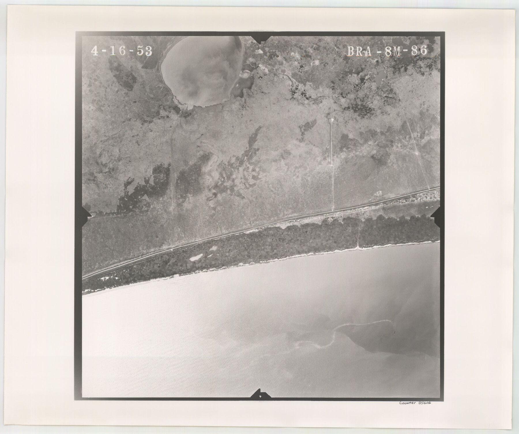
Flight Mission No. BRA-8M, Frame 86, Jefferson County
BRA-8M-86
-
Map/Doc
85606
-
Collection
General Map Collection
-
Object Dates
1953/4/16 (Creation Date)
-
People and Organizations
U. S. Department of Agriculture (Publisher)
-
Counties
Jefferson
-
Subjects
Aerial Photograph
-
Height x Width
18.7 x 22.3 inches
47.5 x 56.6 cm
-
Comments
Flown by Jack Ammann Photogrammetric Engineers of San Antonio, Texas.
Part of: General Map Collection
Howard County Sketch File 8

Print $3.00
- Digital $50.00
Howard County Sketch File 8
Size 20.8 x 18.7 inches
Map/Doc 11796
Val Verde County

Print $20.00
- Digital $50.00
Val Verde County
1944
Size 42.3 x 37.8 inches
Map/Doc 73311
Flight Mission No. BQY-4M, Frame 35, Harris County

Print $20.00
- Digital $50.00
Flight Mission No. BQY-4M, Frame 35, Harris County
1953
Size 18.7 x 22.5 inches
Map/Doc 85250
Shelby County Sketch File 18

Print $4.00
- Digital $50.00
Shelby County Sketch File 18
1875
Size 7.2 x 6.1 inches
Map/Doc 36636
Edwards County Working Sketch 122

Print $20.00
- Digital $50.00
Edwards County Working Sketch 122
1976
Size 25.8 x 33.9 inches
Map/Doc 68998
Kinney County Working Sketch 41

Print $20.00
- Digital $50.00
Kinney County Working Sketch 41
1973
Size 36.2 x 44.2 inches
Map/Doc 70223
Delta County Working Sketch 4

Print $20.00
- Digital $50.00
Delta County Working Sketch 4
Size 16.8 x 21.1 inches
Map/Doc 62179
Chambers County Working Sketch 19

Print $20.00
- Digital $50.00
Chambers County Working Sketch 19
1965
Size 23.5 x 25.8 inches
Map/Doc 68002
Kimble County Working Sketch 29

Print $20.00
- Digital $50.00
Kimble County Working Sketch 29
1941
Size 24.7 x 15.3 inches
Map/Doc 70097
Menard County Sketch File 15

Print $8.00
- Digital $50.00
Menard County Sketch File 15
1892
Size 12.9 x 8.3 inches
Map/Doc 31510
Martin County Working Sketch 2

Print $20.00
- Digital $50.00
Martin County Working Sketch 2
1944
Size 27.5 x 20.9 inches
Map/Doc 70820
Edwards County Rolled Sketch 18

Print $20.00
- Digital $50.00
Edwards County Rolled Sketch 18
1947
Size 21.8 x 21.2 inches
Map/Doc 5807
You may also like
Eastern and Central Texas, Prepared by Order of Maj. Gen. N.P. Banks. Major D.C. Houston, Chief of Engineers

Print $20.00
Eastern and Central Texas, Prepared by Order of Maj. Gen. N.P. Banks. Major D.C. Houston, Chief of Engineers
1864
Size 32.6 x 23.7 inches
Map/Doc 88596
Chambers County Working Sketch 20

Print $20.00
- Digital $50.00
Chambers County Working Sketch 20
1973
Size 25.8 x 30.2 inches
Map/Doc 68003

Galveston County Working Sketch 1

Print $20.00
- Digital $50.00
Galveston County Working Sketch 1
Size 27.7 x 33.7 inches
Map/Doc 69338
Presidio County Working Sketch 117

Print $20.00
- Digital $50.00
Presidio County Working Sketch 117
1982
Size 14.7 x 15.9 inches
Map/Doc 71794
Fractional Township No. 10 South Range No. 25 East of the Indian Meridian, Indian Territory

Print $20.00
- Digital $50.00
Fractional Township No. 10 South Range No. 25 East of the Indian Meridian, Indian Territory
1898
Size 19.2 x 24.3 inches
Map/Doc 75244
Old Miscellaneous File 6

Print $4.00
- Digital $50.00
Old Miscellaneous File 6
1847
Size 4.2 x 7.6 inches
Map/Doc 75420
Clayton Carter Addition, North 84.9 Acres of Section 77, Block A

Print $20.00
- Digital $50.00
Clayton Carter Addition, North 84.9 Acres of Section 77, Block A
1945
Size 30.1 x 9.6 inches
Map/Doc 92767
Deaf Smith County Sketch File D

Print $20.00
- Digital $50.00
Deaf Smith County Sketch File D
Size 12.6 x 27.7 inches
Map/Doc 11306
El Paso County Rolled Sketch 52

Print $20.00
- Digital $50.00
El Paso County Rolled Sketch 52
1929
Size 18.4 x 24.4 inches
Map/Doc 5842
Flight Mission No. BRE-1P, Frame 120, Nueces County

Print $20.00
- Digital $50.00
Flight Mission No. BRE-1P, Frame 120, Nueces County
1956
Size 18.6 x 22.8 inches
Map/Doc 86686
Southwell Place and J. F. Rice Subdivision

Print $20.00
- Digital $50.00
Southwell Place and J. F. Rice Subdivision
1926
Size 19.1 x 24.8 inches
Map/Doc 92745