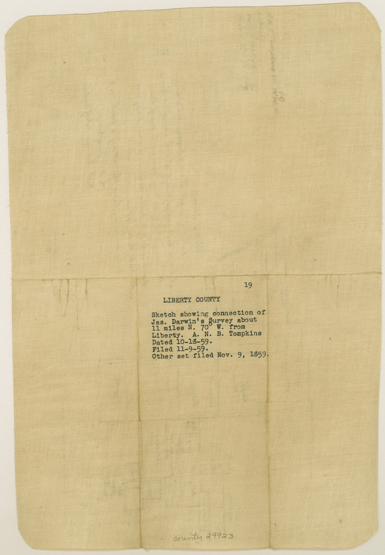
Liberty County Sketch File 19
[Sketch showing connection of Jas. Darwin's survey, northwest from Liberty]
-
Map/Doc
29923
-
Collection
General Map Collection
-
Object Dates
10/18/1859 (Creation Date)
11/9/1859 (File Date)
-
People and Organizations
A.N.B. Tompkins (Surveyor/Engineer)
-
Counties
Liberty
-
Subjects
Surveying Sketch File
-
Height x Width
13.6 x 9.4 inches
34.5 x 23.9 cm
-
Medium
paper, manuscript
-
Scale
1" = 4000 varas
Part of: General Map Collection
Tarrant County Working Sketch 16

Print $20.00
- Digital $50.00
Tarrant County Working Sketch 16
1991
Size 14.5 x 23.9 inches
Map/Doc 62433
Parker County Sketch File 22

Print $4.00
- Digital $50.00
Parker County Sketch File 22
Size 8.7 x 6.3 inches
Map/Doc 33562
Armstrong County

Print $20.00
- Digital $50.00
Armstrong County
1904
Size 45.7 x 40.6 inches
Map/Doc 4876
Glasscock County Sketch File 8

Print $6.00
- Digital $50.00
Glasscock County Sketch File 8
Size 9.5 x 14.9 inches
Map/Doc 24168
Calhoun County Sketch File 6

Print $34.00
- Digital $50.00
Calhoun County Sketch File 6
1942
Size 9.3 x 9.0 inches
Map/Doc 35908
Deaf Smith County Sketch File 7

Print $4.00
- Digital $50.00
Deaf Smith County Sketch File 7
1917
Size 11.3 x 9.0 inches
Map/Doc 20664
Upton County Working Sketch 1

Print $20.00
- Digital $50.00
Upton County Working Sketch 1
1906
Size 11.6 x 20.0 inches
Map/Doc 69497
Brewster County Rolled Sketch RSH

Print $20.00
- Digital $50.00
Brewster County Rolled Sketch RSH
Size 31.9 x 28.3 inches
Map/Doc 5324
Van Zandt County Rolled Sketch 9

Print $20.00
- Digital $50.00
Van Zandt County Rolled Sketch 9
1963
Size 23.4 x 18.7 inches
Map/Doc 8149
Tarrant County Sketch File 32

Print $16.00
- Digital $50.00
Tarrant County Sketch File 32
1946
Size 11.3 x 8.8 inches
Map/Doc 37751
Survey plat of lots 2, 4, 6, 8, 10-16, Block 322 of the original town site of Jourdanton known as School File 154507

Print $4.00
- Digital $50.00
Survey plat of lots 2, 4, 6, 8, 10-16, Block 322 of the original town site of Jourdanton known as School File 154507
2001
Size 26.0 x 27.7 inches
Map/Doc 60392
Jefferson County Sketch File 36

Print $12.00
- Digital $50.00
Jefferson County Sketch File 36
1914
Size 9.0 x 14.7 inches
Map/Doc 28207
You may also like
Taylor County Working Sketch 4a

Print $20.00
- Digital $50.00
Taylor County Working Sketch 4a
1944
Size 17.2 x 14.0 inches
Map/Doc 69613
Flight Mission No. DQN-2K, Frame 2, Calhoun County

Print $20.00
- Digital $50.00
Flight Mission No. DQN-2K, Frame 2, Calhoun County
1953
Size 18.6 x 22.3 inches
Map/Doc 84219
Carta Agricola

Print $20.00
- Digital $50.00
Carta Agricola
1897
Size 26.0 x 34.3 inches
Map/Doc 96804
Flight Mission No. CRK-8P, Frame 101, Refugio County

Print $20.00
- Digital $50.00
Flight Mission No. CRK-8P, Frame 101, Refugio County
1956
Size 18.7 x 22.3 inches
Map/Doc 86962
Lamar County Sketch File 8

Print $20.00
- Digital $50.00
Lamar County Sketch File 8
1895
Size 21.4 x 23.1 inches
Map/Doc 11966
Jefferson County Working Sketch 29

Print $40.00
- Digital $50.00
Jefferson County Working Sketch 29
1977
Size 52.4 x 42.7 inches
Map/Doc 66572
Concho County Working Sketch 5

Print $20.00
- Digital $50.00
Concho County Working Sketch 5
1948
Size 41.3 x 37.9 inches
Map/Doc 68187
Flight Mission No. BRE-3P, Frame 81, Nueces County

Print $20.00
- Digital $50.00
Flight Mission No. BRE-3P, Frame 81, Nueces County
1956
Size 18.6 x 22.4 inches
Map/Doc 86822
Atascosa County Working Sketch 5

Print $3.00
- Digital $50.00
Atascosa County Working Sketch 5
1913
Size 10.9 x 11.3 inches
Map/Doc 67201
Menard County Rolled Sketch 6

Print $20.00
- Digital $50.00
Menard County Rolled Sketch 6
Size 17.3 x 21.2 inches
Map/Doc 6755
Travis County Rolled Sketch 27

Print $20.00
- Digital $50.00
Travis County Rolled Sketch 27
1945
Size 23.5 x 17.8 inches
Map/Doc 8029
Map of Pecos County

Print $40.00
- Digital $50.00
Map of Pecos County
1895
Size 58.1 x 63.4 inches
Map/Doc 16788