Edwards County Sketch File 7
[Sketch of Block 1, G. W. T. & P. RR. Co. west of the Nueces]
-
Map/Doc
21684
-
Collection
General Map Collection
-
Object Dates
1880/10/17 (Creation Date)
1880/10/19 (File Date)
-
People and Organizations
Will H. Bonnell (Surveyor/Engineer)
T.S. Pickens (Surveyor/Engineer)
-
Counties
Edwards Val Verde
-
Subjects
Surveying Sketch File
-
Height x Width
8.0 x 7.9 inches
20.3 x 20.1 cm
-
Medium
paper, manuscript
-
Scale
1" = 1000 varas
-
Features
East Fork of Nueces River
Part of: General Map Collection
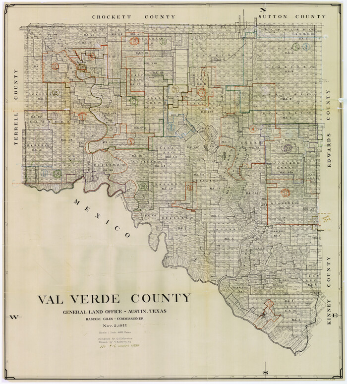
Val Verde County Working Sketch Graphic Index, Sheet 1 (Sketches 1 to 25)

Print $20.00
- Digital $50.00
Val Verde County Working Sketch Graphic Index, Sheet 1 (Sketches 1 to 25)
1944
Size 40.4 x 36.5 inches
Map/Doc 76724
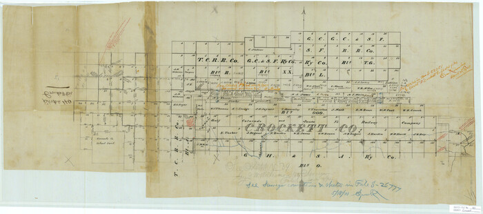
Crockett County Sketch File 40

Print $20.00
- Digital $50.00
Crockett County Sketch File 40
Size 16.8 x 37.9 inches
Map/Doc 11222
Brewster County Rolled Sketch 113


Print $171.00
- Digital $50.00
Brewster County Rolled Sketch 113
1975
Map/Doc 9565
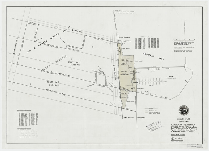
Aransas County Rolled Sketch 31

Print $20.00
- Digital $50.00
Aransas County Rolled Sketch 31
1986
Size 30.0 x 41.4 inches
Map/Doc 77498
Webb County Rolled Sketch 41


Print $20.00
- Digital $50.00
Webb County Rolled Sketch 41
1941
Size 25.0 x 18.0 inches
Map/Doc 8196
G. C. & S. F. Ry. Alinement [sic] and Right of Way Map of Dallas Branch, Johnson County, Texas
![64652, G. C. & S. F. Ry. Alinement [sic] and Right of Way Map of Dallas Branch, Johnson County, Texas, General Map Collection](https://historictexasmaps.com/wmedia_w700/maps/64652.tif.jpg)
![64652, G. C. & S. F. Ry. Alinement [sic] and Right of Way Map of Dallas Branch, Johnson County, Texas, General Map Collection](https://historictexasmaps.com/wmedia_w700/maps/64652.tif.jpg)
Print $40.00
- Digital $50.00
G. C. & S. F. Ry. Alinement [sic] and Right of Way Map of Dallas Branch, Johnson County, Texas
1925
Size 37.6 x 87.9 inches
Map/Doc 64652
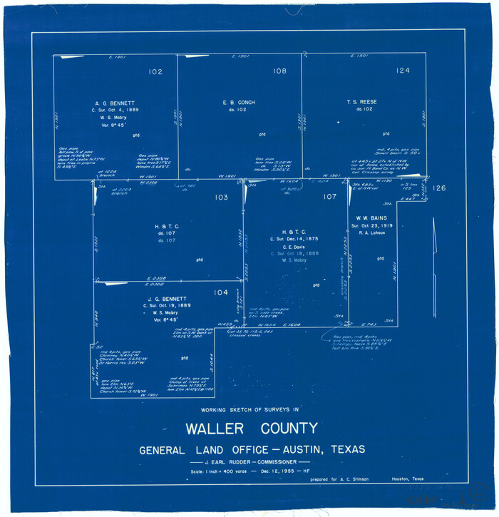
Waller County Working Sketch 2

Print $20.00
- Digital $50.00
Waller County Working Sketch 2
1955
Size 19.5 x 18.8 inches
Map/Doc 72301
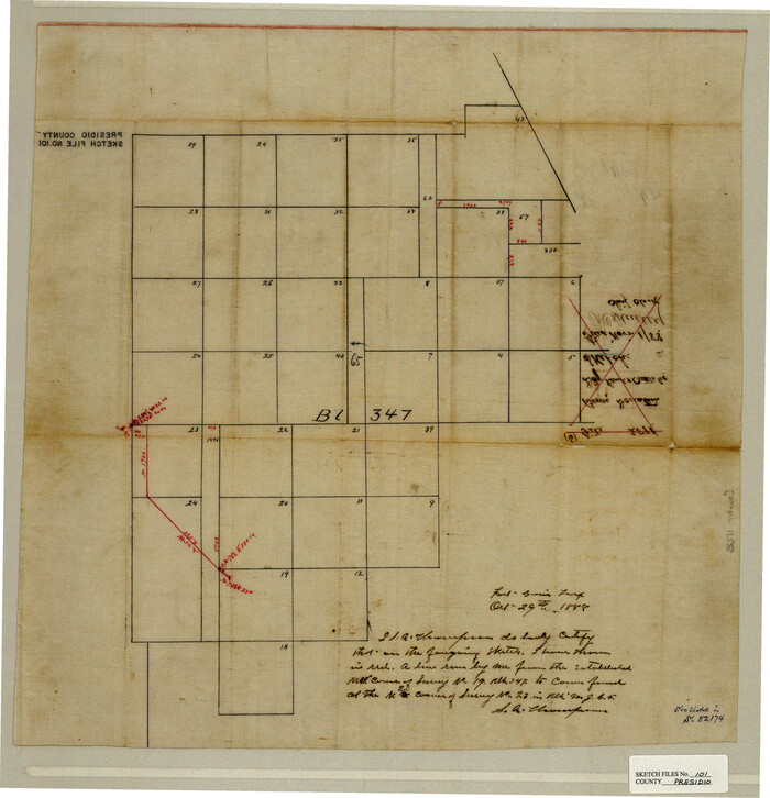
Presidio County Sketch File 101

Print $20.00
- Digital $50.00
Presidio County Sketch File 101
1888
Size 21.1 x 20.3 inches
Map/Doc 11725
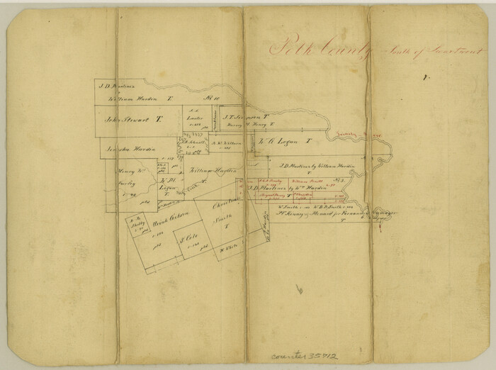
San Jacinto County Sketch File 9

Print $4.00
San Jacinto County Sketch File 9
1860
Size 8.7 x 11.7 inches
Map/Doc 35712
Kinney County Sketch File 24


Print $6.00
- Digital $50.00
Kinney County Sketch File 24
1928
Size 14.2 x 8.8 inches
Map/Doc 29164
[Part of Bexar District]
![1958, [Part of Bexar District], General Map Collection](https://historictexasmaps.com/wmedia_w700/maps/1958-1.tif.jpg)
![1958, [Part of Bexar District], General Map Collection](https://historictexasmaps.com/wmedia_w700/maps/1958-1.tif.jpg)
Print $20.00
- Digital $50.00
[Part of Bexar District]
1847
Size 40.9 x 27.8 inches
Map/Doc 1958
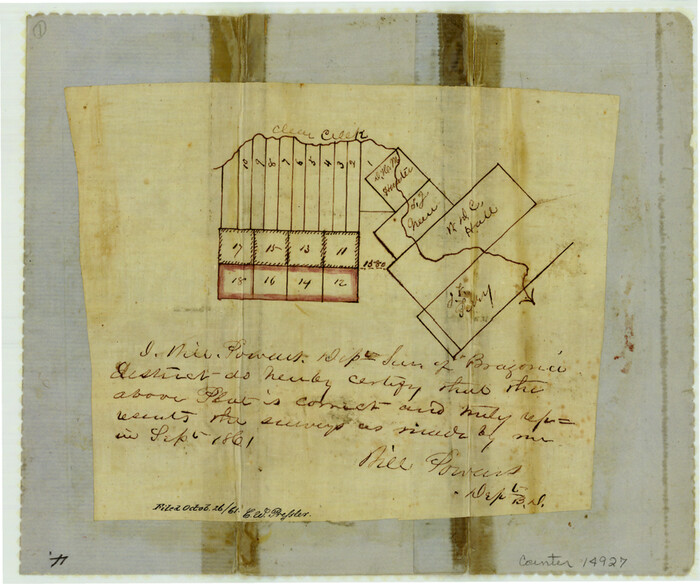
Brazoria County Sketch File 4

Print $4.00
- Digital $50.00
Brazoria County Sketch File 4
1861
Size 7.9 x 9.5 inches
Map/Doc 14927
You may also like
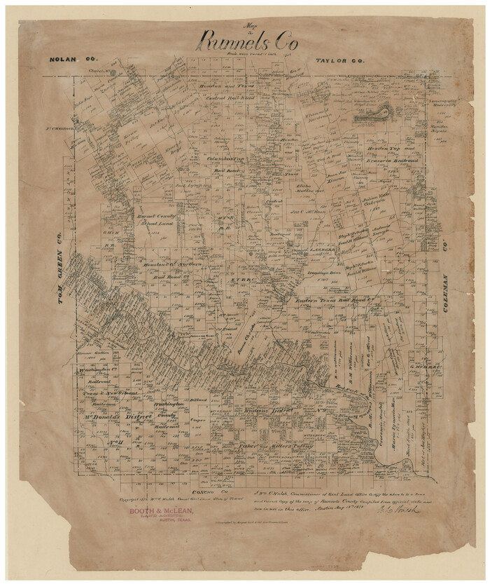
Map of Runnels County, Texas

Print $20.00
- Digital $50.00
Map of Runnels County, Texas
1879
Size 28.8 x 22.0 inches
Map/Doc 5035
Flight Mission No. BRA-8M, Frame 82, Jefferson County
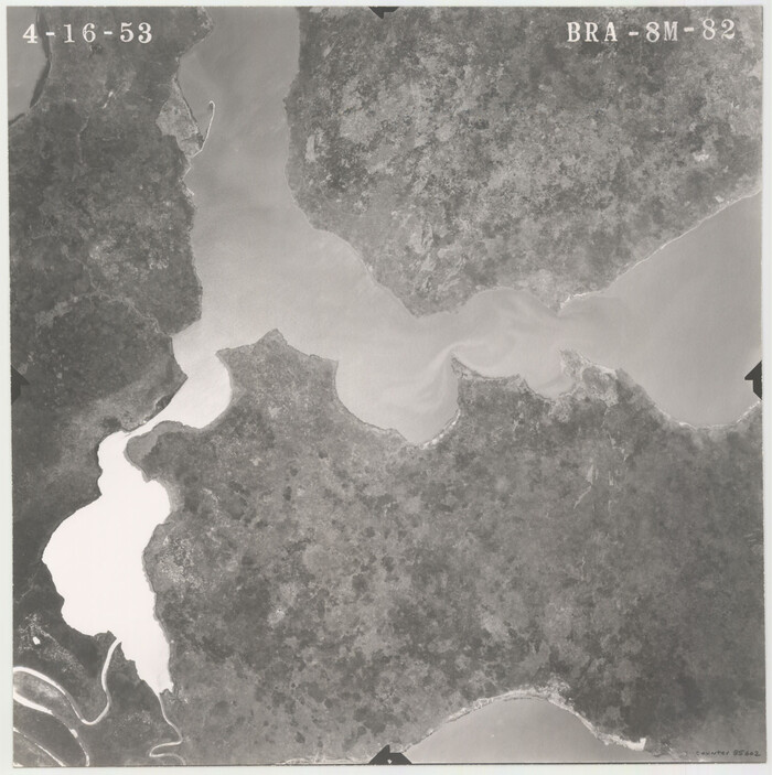

Print $20.00
- Digital $50.00
Flight Mission No. BRA-8M, Frame 82, Jefferson County
1953
Size 15.8 x 15.7 inches
Map/Doc 85602
Leon County Working Sketch 60
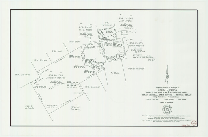

Print $20.00
- Digital $50.00
Leon County Working Sketch 60
2005
Size 20.7 x 31.3 inches
Map/Doc 83575
[Surveys along San Cristoval Creek]
![300, [Surveys along San Cristoval Creek], General Map Collection](https://historictexasmaps.com/wmedia_w700/maps/300.tif.jpg)
![300, [Surveys along San Cristoval Creek], General Map Collection](https://historictexasmaps.com/wmedia_w700/maps/300.tif.jpg)
Print $2.00
- Digital $50.00
[Surveys along San Cristoval Creek]
1842
Size 9.0 x 9.3 inches
Map/Doc 300
[Sketch for Mineral Application 26501 - Sabine River, T. A. Oldhausen]
![2843, [Sketch for Mineral Application 26501 - Sabine River, T. A. Oldhausen], General Map Collection](https://historictexasmaps.com/wmedia_w700/maps/2843.tif.jpg)
![2843, [Sketch for Mineral Application 26501 - Sabine River, T. A. Oldhausen], General Map Collection](https://historictexasmaps.com/wmedia_w700/maps/2843.tif.jpg)
Print $20.00
- Digital $50.00
[Sketch for Mineral Application 26501 - Sabine River, T. A. Oldhausen]
1931
Size 23.8 x 36.2 inches
Map/Doc 2843
Flight Mission No. CRE-1R, Frame 193, Jackson County
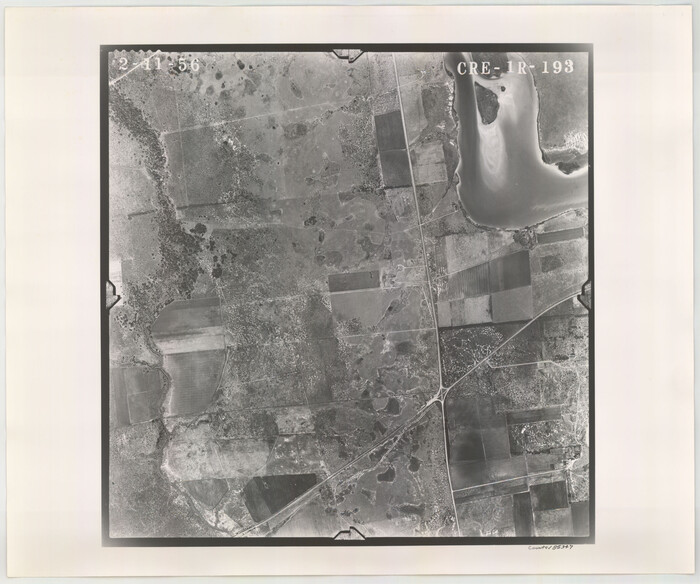

Print $20.00
- Digital $50.00
Flight Mission No. CRE-1R, Frame 193, Jackson County
1956
Size 18.5 x 22.2 inches
Map/Doc 85347
Galveston County Sketch File 49
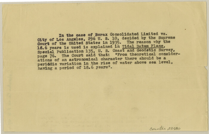

Print $2.00
- Digital $50.00
Galveston County Sketch File 49
Size 5.5 x 8.6 inches
Map/Doc 23480
Gonzales County Sketch File 4a
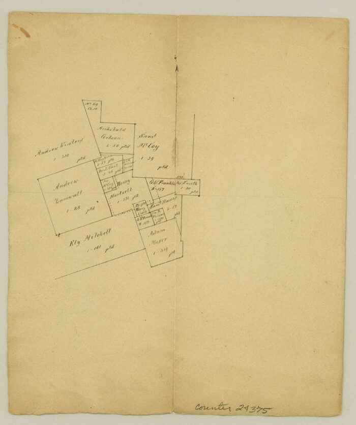

Print $4.00
- Digital $50.00
Gonzales County Sketch File 4a
1861
Size 8.0 x 6.7 inches
Map/Doc 24375
Sutton County Working Sketch 9


Print $20.00
- Digital $50.00
Sutton County Working Sketch 9
1972
Size 41.8 x 38.1 inches
Map/Doc 62352
Cherokee County Working Sketch 24


Print $20.00
- Digital $50.00
Cherokee County Working Sketch 24
1972
Size 37.2 x 38.8 inches
Map/Doc 67979
Terrell County Working Sketch 13
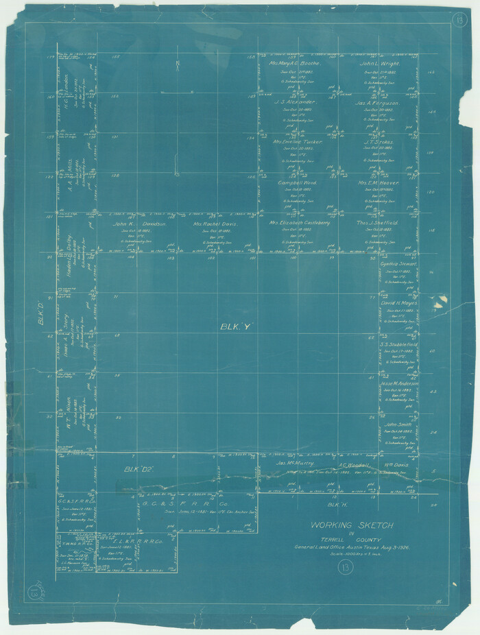

Print $20.00
- Digital $50.00
Terrell County Working Sketch 13
1926
Size 30.1 x 22.8 inches
Map/Doc 62162
Map of Clemens State Farm, Brazoria County, Texas
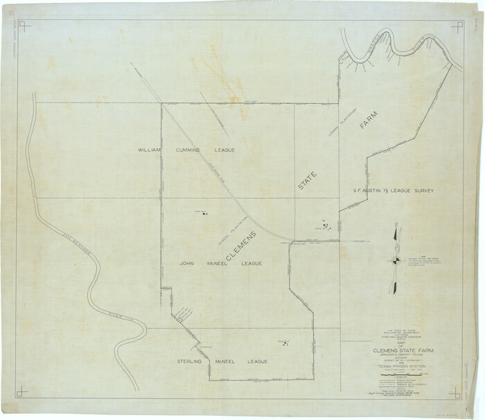

Print $20.00
- Digital $50.00
Map of Clemens State Farm, Brazoria County, Texas
1934
Size 31.2 x 36.1 inches
Map/Doc 62984
