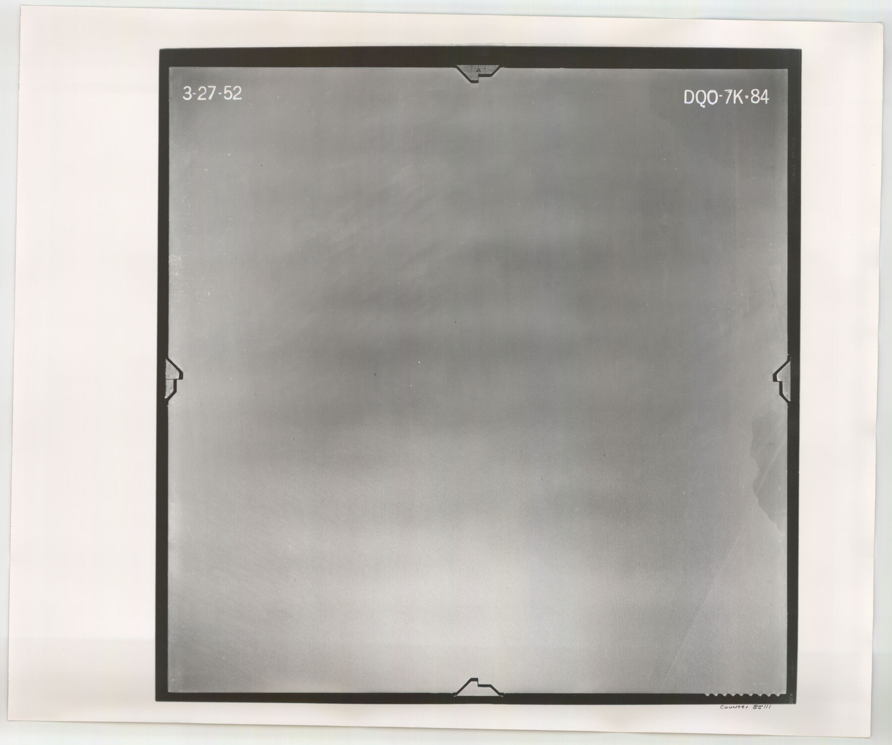
Flight Mission No. DQO-7K, Frame 84, Galveston County
DQO-7K-84
-
Map/Doc
85111
-
Collection
General Map Collection
-
Object Dates
1952/3/27 (Creation Date)
-
People and Organizations
U. S. Department of Agriculture (Publisher)
-
Counties
Galveston
-
Subjects
Aerial Photograph
-
Height x Width
18.8 x 22.5 inches
47.8 x 57.2 cm
-
Comments
Flown by Aero Exploration Company of Tulsa, Oklahoma.
Part of: General Map Collection
Red River County Working Sketch 40

Print $20.00
- Digital $50.00
Red River County Working Sketch 40
1967
Size 40.1 x 35.9 inches
Map/Doc 72023
Harris County Working Sketch 111

Print $20.00
- Digital $50.00
Harris County Working Sketch 111
1982
Size 21.7 x 16.0 inches
Map/Doc 66003
Fisher County

Print $40.00
- Digital $50.00
Fisher County
1944
Size 48.4 x 42.5 inches
Map/Doc 73147
Val Verde County Working Sketch 34

Print $20.00
- Digital $50.00
Val Verde County Working Sketch 34
1940
Size 33.7 x 27.9 inches
Map/Doc 72169
Edwards County Boundary File 27 1/2a

Print $56.00
- Digital $50.00
Edwards County Boundary File 27 1/2a
Size 14.1 x 8.8 inches
Map/Doc 52922
Texas City Channel, Texas, Channel and Turning Basin Dredging - Sheet 2

Print $20.00
- Digital $50.00
Texas City Channel, Texas, Channel and Turning Basin Dredging - Sheet 2
1958
Size 28.6 x 41.0 inches
Map/Doc 61832
Galveston County Rolled Sketch CCW

Print $20.00
- Digital $50.00
Galveston County Rolled Sketch CCW
1938
Size 38.4 x 39.7 inches
Map/Doc 9084
McMullen County Rolled Sketch 21

Print $40.00
- Digital $50.00
McMullen County Rolled Sketch 21
Size 68.9 x 40.0 inches
Map/Doc 9502
Wharton County Rolled Sketch 10

Print $20.00
- Digital $50.00
Wharton County Rolled Sketch 10
Size 21.9 x 32.8 inches
Map/Doc 8234
Index sheet to accompany map of survey for connecting the inland waters along margin of the Gulf of Mexico from Donaldsonville in Louisiana to the Rio Grande River in Texas

Print $20.00
- Digital $50.00
Index sheet to accompany map of survey for connecting the inland waters along margin of the Gulf of Mexico from Donaldsonville in Louisiana to the Rio Grande River in Texas
1874
Size 18.1 x 26.9 inches
Map/Doc 72694
Mason County Sketch File 7

Print $4.00
- Digital $50.00
Mason County Sketch File 7
Size 7.9 x 8.8 inches
Map/Doc 30689
Haskell County Sketch File A

Print $4.00
- Digital $50.00
Haskell County Sketch File A
Size 7.8 x 11.9 inches
Map/Doc 26117
You may also like
Fractional Township No. 9 South Range No. 1 East of the Indian Meridian, Indian Territory

Print $20.00
- Digital $50.00
Fractional Township No. 9 South Range No. 1 East of the Indian Meridian, Indian Territory
1898
Size 19.2 x 24.4 inches
Map/Doc 75201
Sketch showing progress of topographical work Laguna Madre and vicinity from Rainey Is. to Baffins Bay, Coast of Texas Sect. IX [and accompanying letter]
![72957, Sketch showing progress of topographical work Laguna Madre and vicinity from Rainey Is. to Baffins Bay, Coast of Texas Sect. IX [and accompanying letter], General Map Collection](https://historictexasmaps.com/wmedia_w700/maps/72957.tif.jpg)
Print $20.00
- Digital $50.00
Sketch showing progress of topographical work Laguna Madre and vicinity from Rainey Is. to Baffins Bay, Coast of Texas Sect. IX [and accompanying letter]
1880
Size 39.2 x 18.6 inches
Map/Doc 72957
Wichita County Boundary File 2a

Print $28.00
- Digital $50.00
Wichita County Boundary File 2a
Size 14.0 x 8.9 inches
Map/Doc 59906
Flight Mission No. BQR-12K, Frame 49, Brazoria County

Print $20.00
- Digital $50.00
Flight Mission No. BQR-12K, Frame 49, Brazoria County
1952
Size 18.9 x 22.6 inches
Map/Doc 84064

Henderson County Working Sketch 21

Print $20.00
- Digital $50.00
Henderson County Working Sketch 21
1948
Size 17.1 x 16.2 inches
Map/Doc 66154
Travis County Sketch File 29

Print $20.00
- Digital $50.00
Travis County Sketch File 29
1880
Size 12.3 x 21.8 inches
Map/Doc 12459
Coryell County

Print $20.00
- Digital $50.00
Coryell County
1936
Size 44.6 x 40.1 inches
Map/Doc 77249
Hudspeth County Rolled Sketch 43A

Print $3.00
- Digital $50.00
Hudspeth County Rolled Sketch 43A
1958
Size 10.7 x 8.8 inches
Map/Doc 6252
Baylor County Working Sketch 8

Print $20.00
- Digital $50.00
Baylor County Working Sketch 8
1955
Size 44.1 x 20.7 inches
Map/Doc 67293
Panola County Working Sketch 32

Print $20.00
- Digital $50.00
Panola County Working Sketch 32
1982
Map/Doc 71441
Randall County Working Sketch 1

Print $20.00
- Digital $50.00
Randall County Working Sketch 1
1974
Size 28.0 x 31.6 inches
Map/Doc 71838