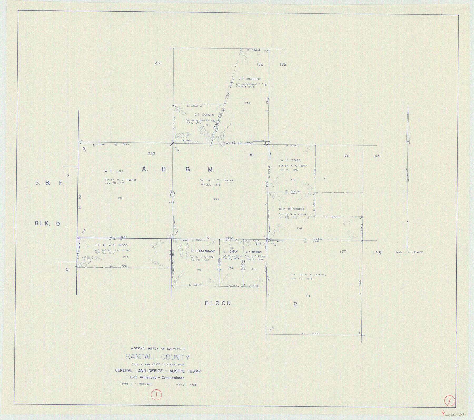
Randall County Working Sketch 1
-
Map/Doc
71838
-
Collection
General Map Collection
-
Object Dates
1/7/1974 (Creation Date)
-
People and Organizations
Abner G. Trigg (Draftsman)
-
Counties
Randall
-
Subjects
Surveying Working Sketch
-
Height x Width
28.0 x 31.6 inches
71.1 x 80.3 cm
-
Scale
1" = 300 varas
Part of: General Map Collection
Kimble County Working Sketch 16

Print $20.00
- Digital $50.00
Kimble County Working Sketch 16
1923
Size 22.9 x 17.1 inches
Map/Doc 70084


Jasper County Working Sketch 29

Print $20.00
- Digital $50.00
Jasper County Working Sketch 29
1956
Size 20.6 x 31.4 inches
Map/Doc 66491
Map representing the surveys made in Bexar County

Print $40.00
- Digital $50.00
Map representing the surveys made in Bexar County
1839
Size 75.7 x 35.1 inches
Map/Doc 93365
Bandera County Boundary File 4

Print $18.00
- Digital $50.00
Bandera County Boundary File 4
Size 8.9 x 7.7 inches
Map/Doc 50267
Marion County Sketch File 7

Print $40.00
- Digital $50.00
Marion County Sketch File 7
1866
Size 16.2 x 12.0 inches
Map/Doc 30573
Wilson County Sketch File 13

Print $4.00
- Digital $50.00
Wilson County Sketch File 13
1873
Size 10.2 x 8.0 inches
Map/Doc 40429
Somervell County Sketch File 2

Print $20.00
- Digital $50.00
Somervell County Sketch File 2
1847
Size 21.8 x 16.7 inches
Map/Doc 12325
Sketch Showing surveys on Harbor Island in Nueces County

Print $20.00
- Digital $50.00
Sketch Showing surveys on Harbor Island in Nueces County
1951
Size 45.7 x 34.6 inches
Map/Doc 1915
Glasscock County Working Sketch 12

Print $40.00
- Digital $50.00
Glasscock County Working Sketch 12
1971
Size 51.2 x 39.0 inches
Map/Doc 63185
Erath County Rolled Sketch 2

Print $20.00
- Digital $50.00
Erath County Rolled Sketch 2
Size 21.0 x 25.9 inches
Map/Doc 5861
You may also like
General Highway Map, Eastland County, Texas

Print $20.00
General Highway Map, Eastland County, Texas
1961
Size 18.2 x 24.7 inches
Map/Doc 79450
The Chief Justice County of Bexar. May 1, 1837

Print $20.00
The Chief Justice County of Bexar. May 1, 1837
2020
Size 25.4 x 21.6 inches
Map/Doc 96038
Upshur County Working Sketch 13

Print $20.00
- Digital $50.00
Upshur County Working Sketch 13
1992
Size 29.7 x 42.5 inches
Map/Doc 69570
Flight Mission No. CLL-3N, Frame 37, Willacy County

Print $20.00
- Digital $50.00
Flight Mission No. CLL-3N, Frame 37, Willacy County
1954
Size 18.6 x 22.2 inches
Map/Doc 87095
McMullen County Working Sketch 27

Print $40.00
- Digital $50.00
McMullen County Working Sketch 27
1953
Size 53.2 x 32.9 inches
Map/Doc 70728
Floyd County Sketch File 15

Print $12.00
- Digital $50.00
Floyd County Sketch File 15
1913
Size 10.9 x 7.3 inches
Map/Doc 22736
General Highway Map, Jim Wells County, Texas

Print $20.00
General Highway Map, Jim Wells County, Texas
1961
Size 18.2 x 24.6 inches
Map/Doc 79543
Bee County Sketch File 1a

Print $12.00
- Digital $50.00
Bee County Sketch File 1a
1846
Size 9.8 x 6.5 inches
Map/Doc 14359
Williamson County Working Sketch 17

Print $20.00
- Digital $50.00
Williamson County Working Sketch 17
1984
Size 32.7 x 24.0 inches
Map/Doc 72577
Supreme Court of the United States, October Term, 1924, No. 13, Original - The State of Oklahoma, Complainant vs. The State of Texas, Defendant, The United States, Intervener

Print $20.00
- Digital $50.00
Supreme Court of the United States, October Term, 1924, No. 13, Original - The State of Oklahoma, Complainant vs. The State of Texas, Defendant, The United States, Intervener
1924
Size 32.0 x 32.8 inches
Map/Doc 75132
Gray County Working Sketch Graphic Index

Print $20.00
- Digital $50.00
Gray County Working Sketch Graphic Index
1900
Size 43.3 x 39.4 inches
Map/Doc 76557
Harris County Working Sketch 86

Print $20.00
- Digital $50.00
Harris County Working Sketch 86
1972
Size 42.7 x 31.9 inches
Map/Doc 65978