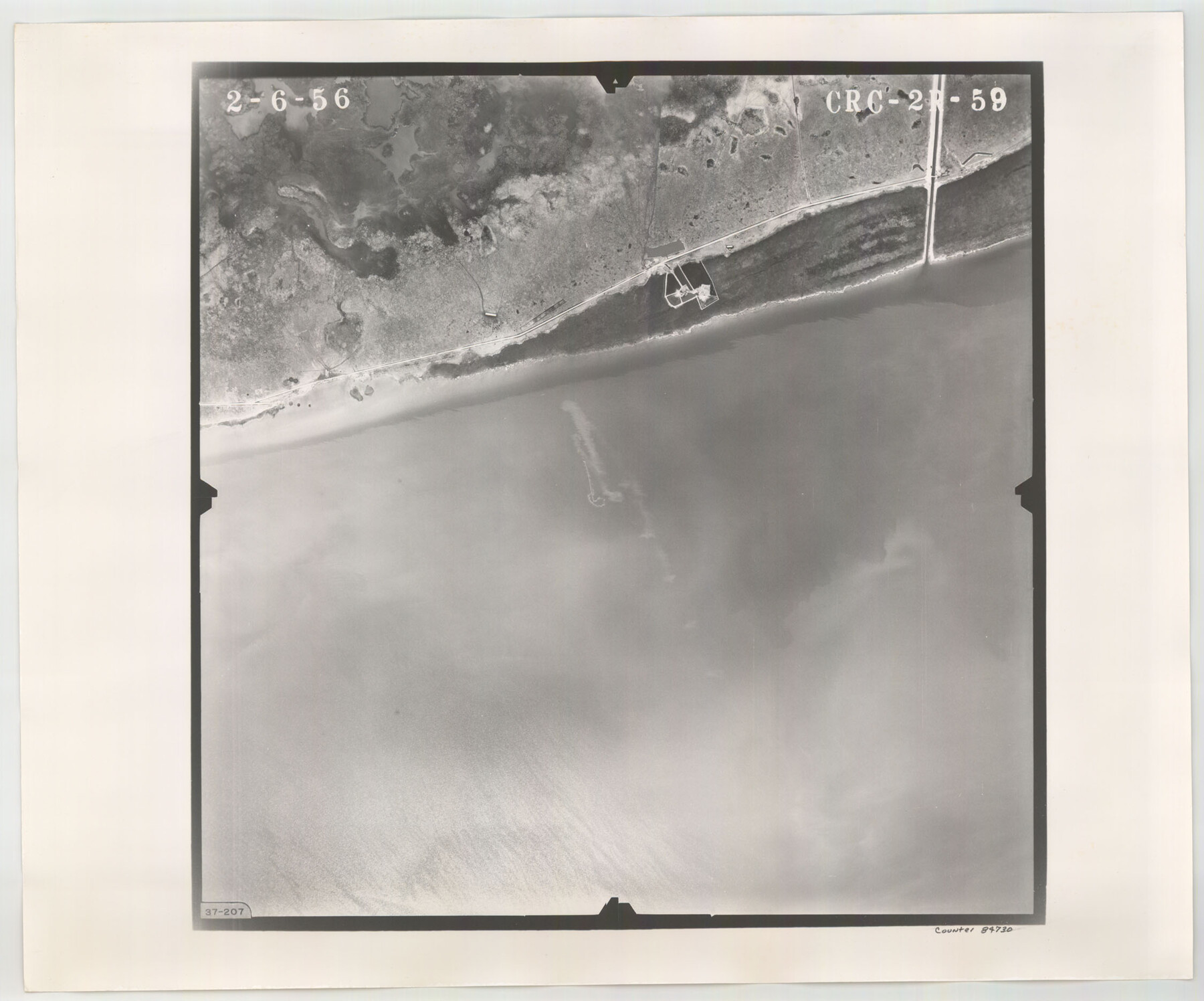
Flight Mission No. CRC-2R, Frame 59, Chambers County
CRC-2R-59
-
Map/Doc
84730
-
Collection
General Map Collection
-
Object Dates
1956/2/6 (Creation Date)
-
People and Organizations
U. S. Department of Agriculture (Publisher)
-
Counties
Chambers
-
Subjects
Aerial Photograph
-
Height x Width
18.7 x 22.5 inches
47.5 x 57.2 cm
-
Comments
Flown by Jack Ammann Photogrammetric Engineers, Inc. of San Antonio, Texas.
Part of: General Map Collection
Edwards County Rolled Sketch 21

Print $20.00
- Digital $50.00
Edwards County Rolled Sketch 21
1948
Size 17.0 x 29.4 inches
Map/Doc 5809
Mirando City, Webb County, Texas

Print $40.00
- Digital $50.00
Mirando City, Webb County, Texas
1937
Size 60.0 x 36.2 inches
Map/Doc 10132
Flight Mission No. DIX-10P, Frame 181, Aransas County

Print $20.00
- Digital $50.00
Flight Mission No. DIX-10P, Frame 181, Aransas County
1956
Size 18.5 x 22.2 inches
Map/Doc 83971
Flight Mission No. BRA-8M, Frame 125, Jefferson County

Print $20.00
- Digital $50.00
Flight Mission No. BRA-8M, Frame 125, Jefferson County
1953
Size 15.9 x 15.7 inches
Map/Doc 85621
Victoria County Sketch File 8

Print $2.00
- Digital $50.00
Victoria County Sketch File 8
Size 5.7 x 5.6 inches
Map/Doc 39524
Zapata County Rolled Sketch 9

Print $20.00
- Digital $50.00
Zapata County Rolled Sketch 9
1912
Size 15.0 x 15.5 inches
Map/Doc 8310
Flight Mission No. CRC-5R, Frame 42, Chambers County

Print $20.00
- Digital $50.00
Flight Mission No. CRC-5R, Frame 42, Chambers County
1956
Size 18.6 x 22.3 inches
Map/Doc 84961
Schleicher County Working Sketch 27

Print $20.00
- Digital $50.00
Schleicher County Working Sketch 27
1974
Size 26.2 x 31.8 inches
Map/Doc 63829
Hill County Working Sketch 4

Print $20.00
- Digital $50.00
Hill County Working Sketch 4
1982
Size 25.3 x 23.3 inches
Map/Doc 66190
Bowie County Sketch File 5

Print $4.00
- Digital $50.00
Bowie County Sketch File 5
Size 10.1 x 7.5 inches
Map/Doc 14837
Coryell County

Print $20.00
- Digital $50.00
Coryell County
1880
Size 25.6 x 25.6 inches
Map/Doc 3444
Edwards County Working Sketch 33

Print $40.00
- Digital $50.00
Edwards County Working Sketch 33
1947
Size 42.6 x 50.2 inches
Map/Doc 68909
You may also like
Crane County Sketch File 26

Print $10.00
- Digital $50.00
Crane County Sketch File 26
1939
Size 11.5 x 9.0 inches
Map/Doc 19598
Fort Bend County Rolled Sketch 3

Print $20.00
- Digital $50.00
Fort Bend County Rolled Sketch 3
1958
Size 31.4 x 31.5 inches
Map/Doc 5893
Martin County Rolled Sketch 10

Print $20.00
- Digital $50.00
Martin County Rolled Sketch 10
1994
Size 18.4 x 24.2 inches
Map/Doc 6670
Hutchinson County Sketch File 21

Print $22.00
- Digital $50.00
Hutchinson County Sketch File 21
Size 8.8 x 7.9 inches
Map/Doc 27242
Red River County Working Sketch 72

Print $20.00
- Digital $50.00
Red River County Working Sketch 72
1979
Size 24.7 x 19.8 inches
Map/Doc 72055
Culberson County Rolled Sketch 10

Print $20.00
- Digital $50.00
Culberson County Rolled Sketch 10
1893
Size 16.4 x 25.9 inches
Map/Doc 5647
Flight Mission No. CRC-4R, Frame 78, Chambers County

Print $20.00
- Digital $50.00
Flight Mission No. CRC-4R, Frame 78, Chambers County
1956
Size 18.7 x 22.5 inches
Map/Doc 84882
Map of Texas with parts of the Adjoining States

Print $20.00
- Digital $50.00
Map of Texas with parts of the Adjoining States
1830
Size 29.6 x 24.1 inches
Map/Doc 94440
Pecos County Working Sketch 38

Print $20.00
- Digital $50.00
Pecos County Working Sketch 38
1939
Size 29.5 x 42.7 inches
Map/Doc 71510
[Surveys in the Bexar District along the Nueces and Leona Rivers]
![116, [Surveys in the Bexar District along the Nueces and Leona Rivers], General Map Collection](https://historictexasmaps.com/wmedia_w700/maps/116.tif.jpg)
Print $3.00
- Digital $50.00
[Surveys in the Bexar District along the Nueces and Leona Rivers]
1845
Size 10.9 x 14.3 inches
Map/Doc 116
Menard County Boundary File 1a

Print $8.00
- Digital $50.00
Menard County Boundary File 1a
Size 12.7 x 8.2 inches
Map/Doc 57042
Nueces County Rolled Sketch 56

Print $53.00
- Digital $50.00
Nueces County Rolled Sketch 56
1978
Size 10.0 x 15.1 inches
Map/Doc 47890