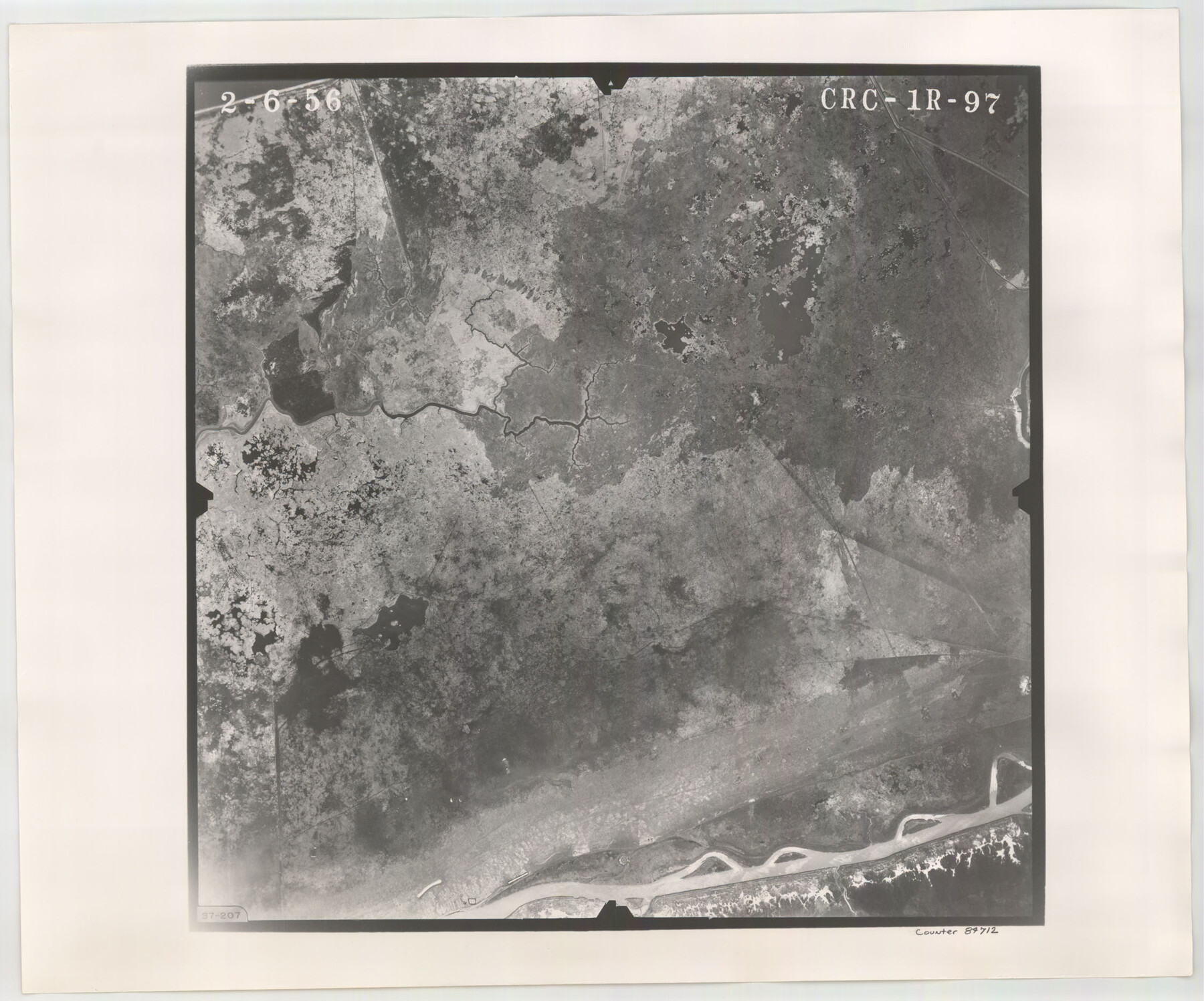
Flight Mission No. CRC-1R, Frame 97, Chambers County
CRC-1R-97
-
Map/Doc
84712
-
Collection
General Map Collection
-
Object Dates
1956/2/6 (Creation Date)
-
People and Organizations
U. S. Department of Agriculture (Publisher)
-
Counties
Chambers
-
Subjects
Aerial Photograph
-
Height x Width
18.7 x 22.5 inches
47.5 x 57.2 cm
-
Comments
Flown by Jack Ammann Photogrammetric Engineers, Inc. of San Antonio, Texas.
Part of: General Map Collection
Montgomery County Rolled Sketch 25

Print $20.00
- Digital $50.00
Montgomery County Rolled Sketch 25
Size 38.1 x 24.2 inches
Map/Doc 6806
Galveston County NRC Article 33.136 Sketch 17

Print $22.00
- Digital $50.00
Galveston County NRC Article 33.136 Sketch 17
2002
Size 24.1 x 36.4 inches
Map/Doc 78584
Houston County Working Sketch 9

Print $20.00
- Digital $50.00
Houston County Working Sketch 9
1939
Size 28.9 x 31.3 inches
Map/Doc 66239
West Part El Paso Co.

Print $20.00
- Digital $50.00
West Part El Paso Co.
1908
Size 46.8 x 42.4 inches
Map/Doc 4713
Galveston County NRC Article 33.136 Sketch 88

Print $42.00
- Digital $50.00
Galveston County NRC Article 33.136 Sketch 88
2019
Size 24.6 x 36.3 inches
Map/Doc 95735
Fannin County Working Sketch 4

Print $20.00
- Digital $50.00
Fannin County Working Sketch 4
1925
Size 24.6 x 31.4 inches
Map/Doc 69158
Orange County Working Sketch 24

Print $20.00
- Digital $50.00
Orange County Working Sketch 24
1941
Size 12.5 x 14.3 inches
Map/Doc 71356
Supreme Court of the United States, October Term, 1930, No.2, Original - The State of New Mexico, Complainant vs. The State of Texas, Defendant

Print $138.00
- Digital $50.00
Supreme Court of the United States, October Term, 1930, No.2, Original - The State of New Mexico, Complainant vs. The State of Texas, Defendant
Size 9.2 x 6.0 inches
Map/Doc 95287
Leon County Texas

Print $20.00
- Digital $50.00
Leon County Texas
1896
Size 25.4 x 22.1 inches
Map/Doc 3806
Sketch F No. 3 - Preliminary Chart of Key-West Harbor and Approaches

Print $20.00
- Digital $50.00
Sketch F No. 3 - Preliminary Chart of Key-West Harbor and Approaches
1852
Size 17.7 x 21.1 inches
Map/Doc 97218
Flight Mission No. CUI-1H, Frame 167, Milam County

Print $20.00
- Digital $50.00
Flight Mission No. CUI-1H, Frame 167, Milam County
1951
Size 18.5 x 22.2 inches
Map/Doc 86609
Shelby County Working Sketch 1

Print $20.00
- Digital $50.00
Shelby County Working Sketch 1
1917
Size 26.2 x 30.0 inches
Map/Doc 63854
You may also like
Fort Bend County Sketch File 18 1/2

Print $20.00
- Digital $50.00
Fort Bend County Sketch File 18 1/2
1896
Size 18.3 x 15.3 inches
Map/Doc 11508
Topographical Map of the Rio Grande, Sheet No. 25

Print $20.00
- Digital $50.00
Topographical Map of the Rio Grande, Sheet No. 25
1912
Map/Doc 89549
Limestone County Working Sketch 24

Print $20.00
- Digital $50.00
Limestone County Working Sketch 24
1980
Size 28.9 x 31.6 inches
Map/Doc 70574
Flight Mission No. DQN-2K, Frame 50, Calhoun County

Print $20.00
- Digital $50.00
Flight Mission No. DQN-2K, Frame 50, Calhoun County
1953
Size 18.5 x 22.1 inches
Map/Doc 84255
Young County Working Sketch 12

Print $20.00
- Digital $50.00
Young County Working Sketch 12
1921
Size 17.6 x 19.0 inches
Map/Doc 62035
Van Zandt County Sketch File 32

Print $4.00
- Digital $50.00
Van Zandt County Sketch File 32
1860
Size 12.2 x 7.9 inches
Map/Doc 39465
From Citizens of Austin and Harris Counties Living in What Was to Become Fort Bend County for the Creation of a New County (Unnamed), Undated

Print $20.00
From Citizens of Austin and Harris Counties Living in What Was to Become Fort Bend County for the Creation of a New County (Unnamed), Undated
2020
Size 22.6 x 21.7 inches
Map/Doc 96399
Montgomery County Sketch File 7

Print $35.00
- Digital $50.00
Montgomery County Sketch File 7
1861
Size 8.8 x 7.8 inches
Map/Doc 31785
Martin County Boundary File 2b

Print $40.00
- Digital $50.00
Martin County Boundary File 2b
Size 46.4 x 20.2 inches
Map/Doc 56779
Rains County Rolled Sketch 1

Print $40.00
- Digital $50.00
Rains County Rolled Sketch 1
1958
Size 42.0 x 65.2 inches
Map/Doc 9806
Fort Bend County Rolled Sketch 6

Print $20.00
- Digital $50.00
Fort Bend County Rolled Sketch 6
1956
Size 39.6 x 34.8 inches
Map/Doc 5896
Edwards County Sketch File 26

Print $4.00
- Digital $50.00
Edwards County Sketch File 26
1910
Size 11.5 x 9.2 inches
Map/Doc 21753