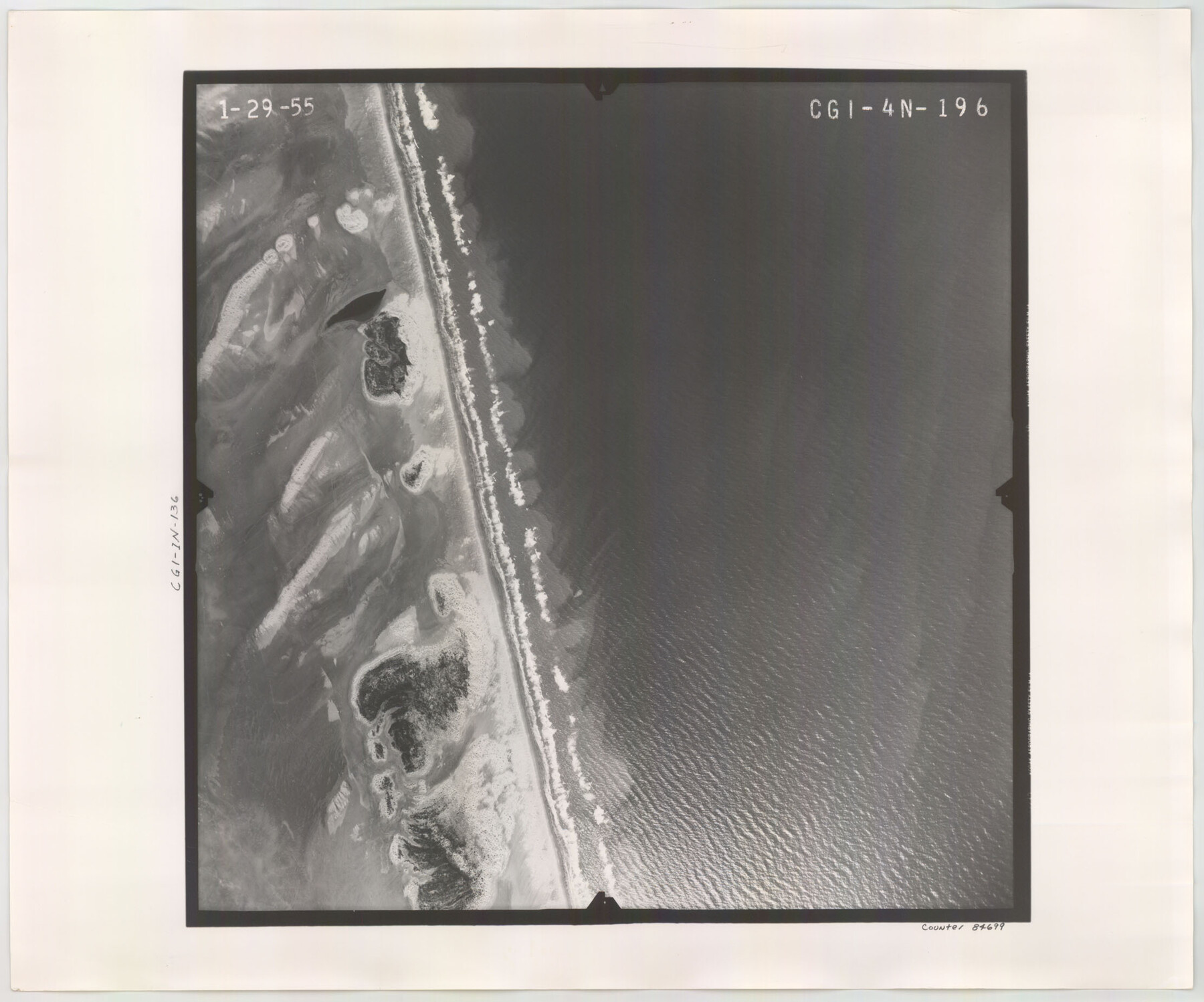
Flight Mission No. CGI-4N, Frame 196, Cameron County
CGI-4N-196
-
Map/Doc
84699
-
Collection
General Map Collection
-
Object Dates
1955/1/29 (Creation Date)
-
People and Organizations
U. S. Department of Agriculture (Publisher)
-
Counties
Cameron
-
Subjects
Aerial Photograph
-
Height x Width
18.5 x 22.2 inches
47.0 x 56.4 cm
-
Comments
Flown by Puckett Aerial Surveys, Inc. of Jackson, Mississippi.
Part of: General Map Collection
Travis County Appraisal District Plat Map 1_0204

Print $20.00
- Digital $50.00
Travis County Appraisal District Plat Map 1_0204
Size 21.7 x 26.6 inches
Map/Doc 94207
Map of the District of San Patricio and Nueces

Print $40.00
- Digital $50.00
Map of the District of San Patricio and Nueces
1847
Size 52.6 x 44.2 inches
Map/Doc 1956
Loving County Rolled Sketch 3

Print $40.00
- Digital $50.00
Loving County Rolled Sketch 3
Size 13.9 x 145.3 inches
Map/Doc 9464
Crockett County Sketch File 27

Print $10.00
- Digital $50.00
Crockett County Sketch File 27
1883
Size 9.1 x 14.5 inches
Map/Doc 19717
Sutton County Boundary File 5a

Print $20.00
- Digital $50.00
Sutton County Boundary File 5a
Size 14.5 x 8.9 inches
Map/Doc 59060
Goliad County Sketch File 1

Print $24.00
- Digital $50.00
Goliad County Sketch File 1
1857
Size 12.5 x 7.5 inches
Map/Doc 24211
Nolan County Sketch File 10

Print $6.00
- Digital $50.00
Nolan County Sketch File 10
1902
Size 14.2 x 9.0 inches
Map/Doc 32484
Hudspeth County Rolled Sketch 38

Print $20.00
- Digital $50.00
Hudspeth County Rolled Sketch 38
1939
Size 18.0 x 37.5 inches
Map/Doc 6251
Hardin County Working Sketch 24

Print $20.00
- Digital $50.00
Hardin County Working Sketch 24
1950
Size 15.3 x 11.9 inches
Map/Doc 63422
Northeast Part Pecos County

Print $20.00
- Digital $50.00
Northeast Part Pecos County
1975
Size 36.9 x 43.4 inches
Map/Doc 95611
Angelina County Working Sketch 43

Print $20.00
- Digital $50.00
Angelina County Working Sketch 43
1963
Size 23.1 x 34.5 inches
Map/Doc 67126
Falls County Sketch File 16a

Print $20.00
- Digital $50.00
Falls County Sketch File 16a
1871
Size 30.6 x 21.0 inches
Map/Doc 11466
You may also like
Freestone County Working Sketch 20

Print $40.00
- Digital $50.00
Freestone County Working Sketch 20
1980
Size 52.4 x 39.6 inches
Map/Doc 69262
Comanche County Sketch File 24 1/2

Print $6.00
- Digital $50.00
Comanche County Sketch File 24 1/2
Size 10.5 x 15.8 inches
Map/Doc 19113
Culberson County Rolled Sketch 9

Print $20.00
- Digital $50.00
Culberson County Rolled Sketch 9
1886
Size 28.3 x 41.9 inches
Map/Doc 5646

Flight Mission No. BRA-7M, Frame 137, Jefferson County

Print $20.00
- Digital $50.00
Flight Mission No. BRA-7M, Frame 137, Jefferson County
1953
Size 18.7 x 22.4 inches
Map/Doc 85531
Sterling County Working Sketch 2

Print $20.00
- Digital $50.00
Sterling County Working Sketch 2
1941
Size 19.9 x 26.2 inches
Map/Doc 63984
[Sketch of surveys north of Jefferson County School Land]
![91890, [Sketch of surveys north of Jefferson County School Land], Twichell Survey Records](https://historictexasmaps.com/wmedia_w700/maps/91890-1.tif.jpg)
Print $3.00
- Digital $50.00
[Sketch of surveys north of Jefferson County School Land]
1891
Size 10.3 x 11.2 inches
Map/Doc 91890
Travis County State Real Property Sketch 10

Print $20.00
- Digital $50.00
Travis County State Real Property Sketch 10
2002
Size 35.5 x 25.2 inches
Map/Doc 83550
General Highway Map, Fisher County, Texas

Print $20.00
General Highway Map, Fisher County, Texas
1940
Size 18.5 x 25.0 inches
Map/Doc 79090

Foard County Sketch File 14

Print $4.00
- Digital $50.00
Foard County Sketch File 14
1885
Size 14.4 x 8.8 inches
Map/Doc 22819
Brewster County Working Sketch Graphic Index, South Part

Print $40.00
- Digital $50.00
Brewster County Working Sketch Graphic Index, South Part
1955
Size 48.5 x 40.4 inches
Map/Doc 76475