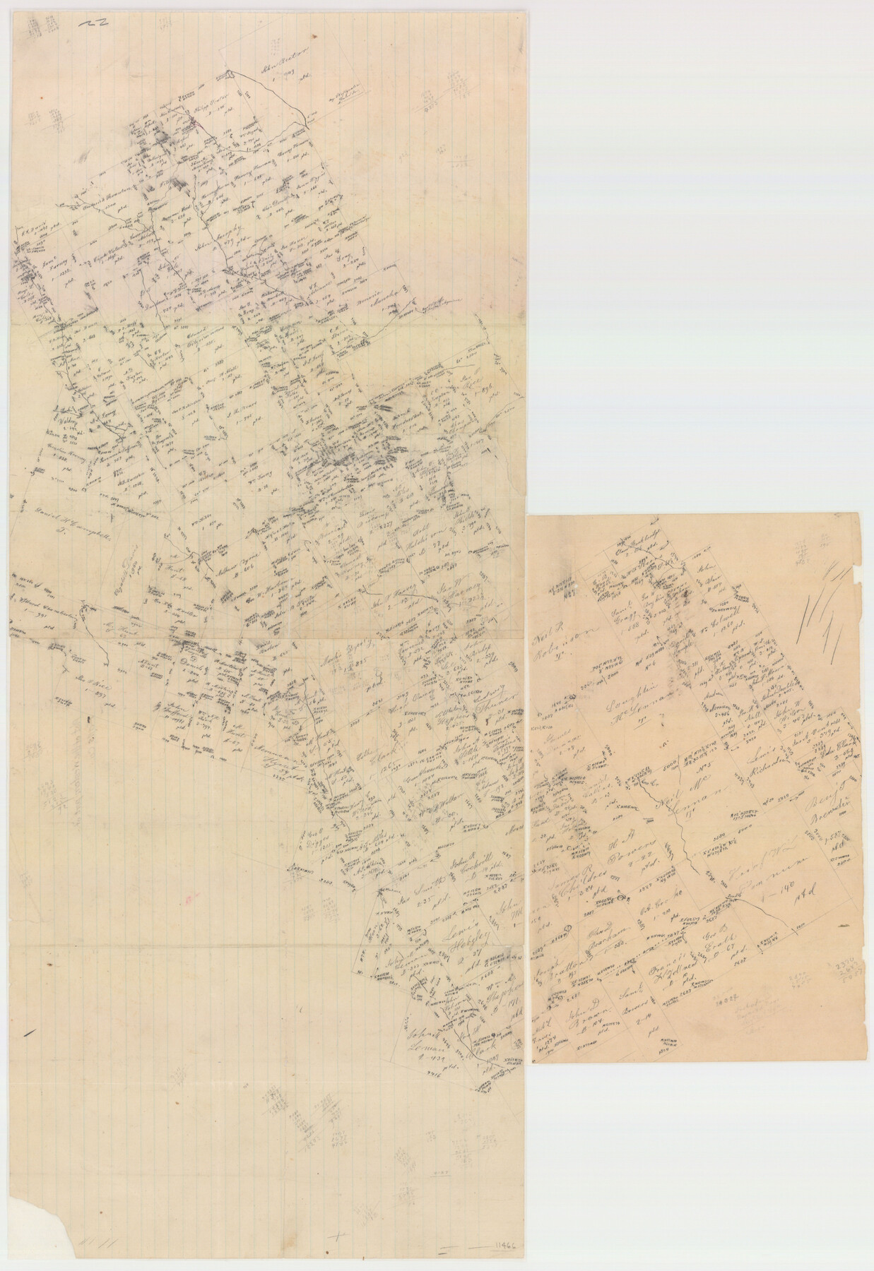
Falls County Sketch File 16a
Plot of Western part of Falls Co.
-
Map/Doc
11466
-
Collection
General Map Collection
-
Object Dates
1871/11/2 (Creation Date)
-
People and Organizations
M. Stakemann (Surveyor/Engineer)
-
Counties
Falls Milam Bell McLennan
-
Subjects
Surveying Sketch File
-
Height x Width
30.6 x 21.0 inches
77.7 x 53.3 cm
-
Medium
paper, manuscript
-
Features
Cow Creek
Pond Creek
Part of: General Map Collection
Wilbarger County Sketch File 23

Print $4.00
- Digital $50.00
Wilbarger County Sketch File 23
1887
Size 14.2 x 8.8 inches
Map/Doc 40223
Red River, Levee Improvement Districts Widths of Floodways - Bois D'Arc Creek

Print $20.00
- Digital $50.00
Red River, Levee Improvement Districts Widths of Floodways - Bois D'Arc Creek
1921
Size 29.5 x 26.0 inches
Map/Doc 65271
Blanco County Working Sketch 3

Print $20.00
- Digital $50.00
Blanco County Working Sketch 3
Size 14.4 x 16.1 inches
Map/Doc 78189
Terry County Rolled Sketch 4

Print $20.00
- Digital $50.00
Terry County Rolled Sketch 4
Size 38.7 x 36.8 inches
Map/Doc 9994
Chambers County Sketch File 21a

Print $2.00
- Digital $50.00
Chambers County Sketch File 21a
1867
Size 10.2 x 6.6 inches
Map/Doc 17593
Haskell County Rolled Sketch 15A

Print $3.00
- Digital $50.00
Haskell County Rolled Sketch 15A
1991
Size 11.3 x 17.1 inches
Map/Doc 6174
Mills County Working Sketch 5

Print $3.00
- Digital $50.00
Mills County Working Sketch 5
1914
Size 13.1 x 10.8 inches
Map/Doc 71035
Motley County Sketch File 18 (S)

Print $28.00
- Digital $50.00
Motley County Sketch File 18 (S)
1902
Size 13.0 x 8.0 inches
Map/Doc 32192
Flight Mission No. DQN-2K, Frame 118, Calhoun County

Print $20.00
- Digital $50.00
Flight Mission No. DQN-2K, Frame 118, Calhoun County
1953
Size 18.5 x 22.2 inches
Map/Doc 84294
Chambers County Sketch File 26

Print $20.00
- Digital $50.00
Chambers County Sketch File 26
1934
Size 19.6 x 24.6 inches
Map/Doc 11066
Ector County Working Sketch 19

Print $40.00
- Digital $50.00
Ector County Working Sketch 19
1958
Size 65.8 x 37.6 inches
Map/Doc 68862
Val Verde County Working Sketch 78

Print $40.00
- Digital $50.00
Val Verde County Working Sketch 78
1972
Size 45.3 x 62.1 inches
Map/Doc 72213
You may also like
Young County Working Sketch 4

Print $20.00
- Digital $50.00
Young County Working Sketch 4
1919
Size 14.8 x 13.4 inches
Map/Doc 62027
General Highway Map, Foard County, Texas

Print $20.00
General Highway Map, Foard County, Texas
1940
Size 18.6 x 25.2 inches
Map/Doc 79092
Houston and Great Northern Railroad Company [North of the 80 mile T. & P. Reserve]
![90895, Houston and Great Northern Railroad Company [North of the 80 mile T. & P. Reserve], Twichell Survey Records](https://historictexasmaps.com/wmedia_w700/maps/90895-1.tif.jpg)
Print $20.00
- Digital $50.00
Houston and Great Northern Railroad Company [North of the 80 mile T. & P. Reserve]
1900
Size 15.6 x 15.8 inches
Map/Doc 90895
[Sketch for Mineral Application 16777]
![65656, [Sketch for Mineral Application 16777], General Map Collection](https://historictexasmaps.com/wmedia_w700/maps/65656-1.tif.jpg)
Print $40.00
- Digital $50.00
[Sketch for Mineral Application 16777]
Size 80.3 x 20.0 inches
Map/Doc 65656
The Republic County of Robertson. Spring 1842

Print $20.00
The Republic County of Robertson. Spring 1842
2020
Size 16.9 x 21.7 inches
Map/Doc 96263
El Paso County Sketch File 16

Print $20.00
- Digital $50.00
El Paso County Sketch File 16
1885
Size 31.0 x 36.0 inches
Map/Doc 10446
[Blocks CD, OP and GH in Crockett, Schleicher & Sutton Counties, Texas]
![75776, [Blocks CD, OP and GH in Crockett, Schleicher & Sutton Counties, Texas], Maddox Collection](https://historictexasmaps.com/wmedia_w700/maps/75776.tif.jpg)
Print $20.00
- Digital $50.00
[Blocks CD, OP and GH in Crockett, Schleicher & Sutton Counties, Texas]
Size 22.5 x 27.5 inches
Map/Doc 75776
Engineer's Office, Department of the Gulf Map No. 59, Texas prepared by order of Maj. Gen. N. P. Banks under direction of Capt. P. C. Hains, U. S. Engr. & Chief Engr., Dept. of the Gulf

Print $20.00
- Digital $50.00
Engineer's Office, Department of the Gulf Map No. 59, Texas prepared by order of Maj. Gen. N. P. Banks under direction of Capt. P. C. Hains, U. S. Engr. & Chief Engr., Dept. of the Gulf
1865
Size 18.2 x 27.5 inches
Map/Doc 72716
Angelina County Sketch File 4

Print $4.00
- Digital $50.00
Angelina County Sketch File 4
1854
Size 8.3 x 9.0 inches
Map/Doc 12926
Mills County Sketch File 14

Print $4.00
- Digital $50.00
Mills County Sketch File 14
1871
Size 6.8 x 8.0 inches
Map/Doc 31661
Houston County Working Sketch 35

Print $20.00
- Digital $50.00
Houston County Working Sketch 35
1999
Size 27.8 x 29.0 inches
Map/Doc 66265
Map of Cass County

Print $20.00
- Digital $50.00
Map of Cass County
1847
Size 21.3 x 18.4 inches
Map/Doc 3368