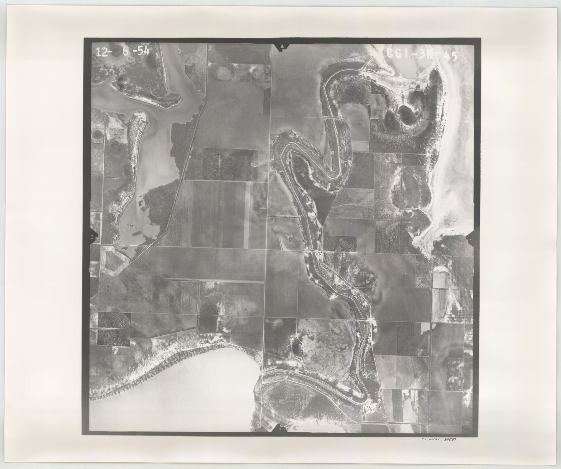
Flight Mission No. CGI-3N, Frame 45, Cameron County
CGI-3N-45
-
Map/Doc
84551
-
Collection
General Map Collection
-
Object Dates
1954/12/6 (Creation Date)
-
People and Organizations
U. S. Department of Agriculture (Publisher)
-
Counties
Cameron
-
Subjects
Aerial Photograph
-
Height x Width
18.5 x 22.2 inches
47.0 x 56.4 cm
-
Comments
Flown by Puckett Aerial Surveys, Inc. of Jackson, Mississippi.
Part of: General Map Collection
Baylor County Working Sketch 9

Print $20.00
- Digital $50.00
Baylor County Working Sketch 9
1956
Size 24.7 x 27.4 inches
Map/Doc 67294
Parker County Sketch File 24

Print $4.00
- Digital $50.00
Parker County Sketch File 24
Size 8.6 x 13.0 inches
Map/Doc 33564
Flight Mission No. DCL-4C, Frame 7, Kenedy County

Print $20.00
- Digital $50.00
Flight Mission No. DCL-4C, Frame 7, Kenedy County
1943
Size 18.6 x 22.3 inches
Map/Doc 85808
Flight Mission No. BQR-13K, Frame 24, Brazoria County

Print $20.00
- Digital $50.00
Flight Mission No. BQR-13K, Frame 24, Brazoria County
1952
Size 18.9 x 22.4 inches
Map/Doc 84072
Red River County

Print $20.00
- Digital $50.00
Red River County
1934
Size 47.0 x 40.2 inches
Map/Doc 95623
Webb County Sketch File 16

Print $20.00
- Digital $50.00
Webb County Sketch File 16
Size 37.1 x 24.5 inches
Map/Doc 12635
![4828, [San Diego], General Map Collection](https://historictexasmaps.com/wmedia_w700/maps/4828-1.tif.jpg)
Amistad International Reservoir on Rio Grande 73

Print $20.00
- Digital $50.00
Amistad International Reservoir on Rio Grande 73
1949
Size 28.5 x 40.1 inches
Map/Doc 73362
Neches River, Blackburn Bridge Sheet

Print $4.00
- Digital $50.00
Neches River, Blackburn Bridge Sheet
1938
Size 27.6 x 20.5 inches
Map/Doc 65083
Jack County Sketch File 16

Print $4.00
- Digital $50.00
Jack County Sketch File 16
1877
Size 7.9 x 12.8 inches
Map/Doc 27549
Armstrong County Rolled Sketch B

Print $20.00
- Digital $50.00
Armstrong County Rolled Sketch B
1903
Size 25.9 x 37.0 inches
Map/Doc 5084
Anderson County Boundary File 7

Print $10.00
- Digital $50.00
Anderson County Boundary File 7
Size 14.4 x 8.9 inches
Map/Doc 49751
You may also like
Brazoria County Working Sketch 30

Print $20.00
- Digital $50.00
Brazoria County Working Sketch 30
1974
Size 37.5 x 43.8 inches
Map/Doc 67515
La Salle County Working Sketch 38

Print $20.00
- Digital $50.00
La Salle County Working Sketch 38
1961
Size 26.6 x 18.4 inches
Map/Doc 70339
Lubbock County Working Sketch 9

Print $40.00
- Digital $50.00
Lubbock County Working Sketch 9
1990
Size 28.5 x 57.3 inches
Map/Doc 70669
Kleberg County Rolled Sketch 13

Print $20.00
- Digital $50.00
Kleberg County Rolled Sketch 13
1995
Size 39.3 x 33.8 inches
Map/Doc 6554

Nautical Chart 885-SC Intracoastal Waterway - Ellender to Galveston Bay, Louisiana-Texas

Print $20.00
- Digital $50.00
Nautical Chart 885-SC Intracoastal Waterway - Ellender to Galveston Bay, Louisiana-Texas
1972
Size 15.9 x 26.8 inches
Map/Doc 75910
Map of Texas Gulf Coast and Texas Continental Shelf showing Natural Gas Pipe Lines

Print $40.00
- Digital $50.00
Map of Texas Gulf Coast and Texas Continental Shelf showing Natural Gas Pipe Lines
1968
Size 39.4 x 57.1 inches
Map/Doc 75903
[Surveys between Big Keechi Creek and the Trinity River]
![69753, [Surveys between Big Keechi Creek and the Trinity River], General Map Collection](https://historictexasmaps.com/wmedia_w700/maps/69753.tif.jpg)
Print $2.00
- Digital $50.00
[Surveys between Big Keechi Creek and the Trinity River]
Size 10.1 x 7.3 inches
Map/Doc 69753
Right of Way and Track Map of The Wichita Falls & Southern Railroad Company

Print $40.00
- Digital $50.00
Right of Way and Track Map of The Wichita Falls & Southern Railroad Company
1942
Size 24.7 x 56.3 inches
Map/Doc 64521
Flight Mission No. BRA-7M, Frame 146, Jefferson County

Print $20.00
- Digital $50.00
Flight Mission No. BRA-7M, Frame 146, Jefferson County
1953
Size 16.1 x 16.1 inches
Map/Doc 85540
Montgomery County Working Sketch 31

Print $20.00
- Digital $50.00
Montgomery County Working Sketch 31
Size 24.7 x 18.7 inches
Map/Doc 71138
Flight Mission No. CGI-3N, Frame 125, Cameron County

Print $20.00
- Digital $50.00
Flight Mission No. CGI-3N, Frame 125, Cameron County
1954
Size 18.6 x 22.2 inches
Map/Doc 84598