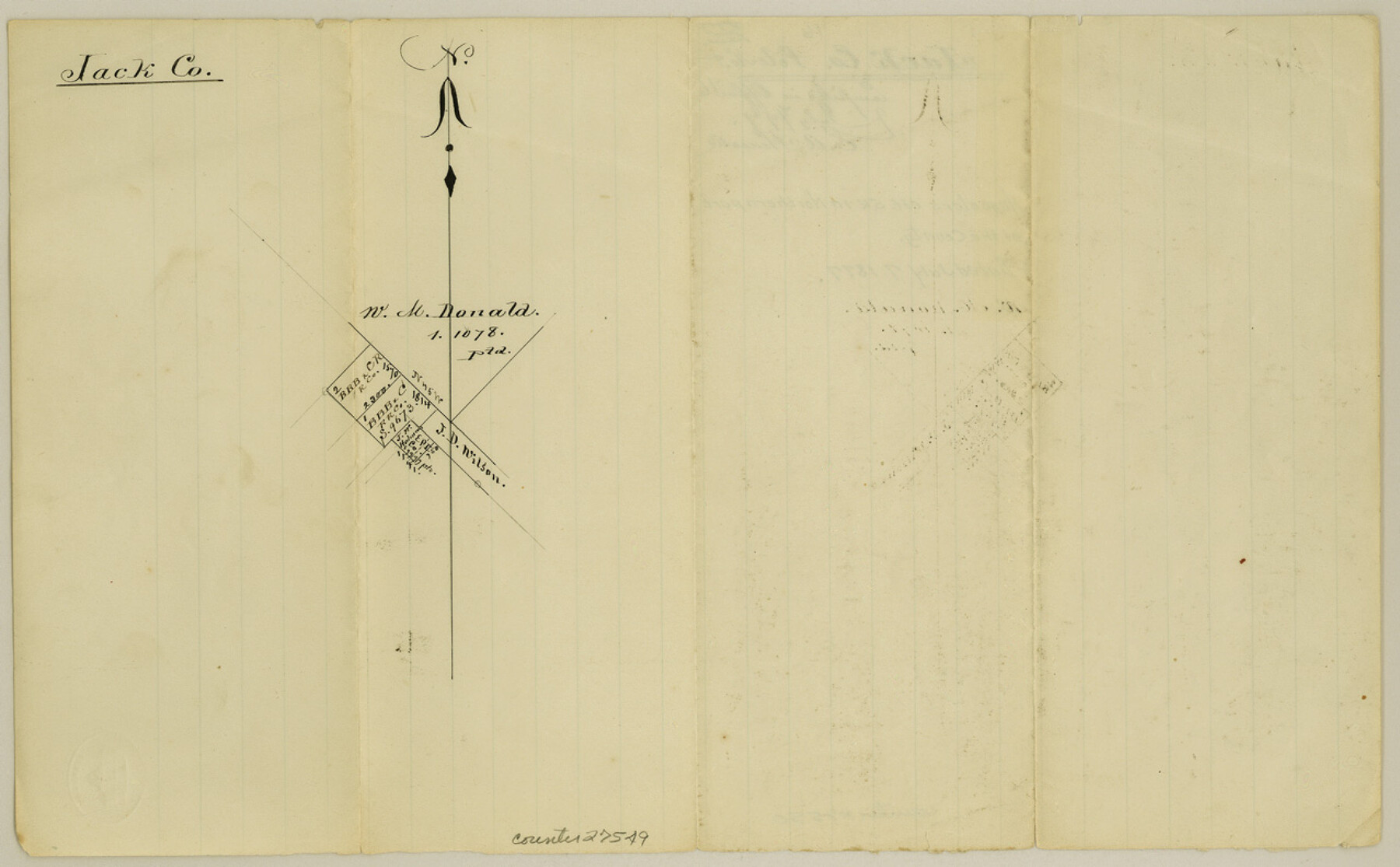
Jack County Sketch File 16
[Sketch in northern part of county]
-
Map/Doc
27549
-
Collection
General Map Collection
-
Object Dates
1877/7/7 (Creation Date)
-
People and Organizations
Heusaler (Surveyor/Engineer)
-
Counties
Jack
-
Subjects
Surveying Sketch File
-
Height x Width
7.9 x 12.8 inches
20.1 x 32.5 cm
-
Medium
paper, manuscript
Part of: General Map Collection
Flight Mission No. DIX-6P, Frame 183, Aransas County

Print $20.00
- Digital $50.00
Flight Mission No. DIX-6P, Frame 183, Aransas County
1956
Size 19.1 x 22.7 inches
Map/Doc 83845
Flight Mission No. CGI-3N, Frame 140, Cameron County

Print $20.00
- Digital $50.00
Flight Mission No. CGI-3N, Frame 140, Cameron County
1954
Size 18.8 x 22.5 inches
Map/Doc 84613
Maps & Lists Showing Prison Lands (Oil & Gas) Leased as of June 1955

Digital $50.00
Maps & Lists Showing Prison Lands (Oil & Gas) Leased as of June 1955
Size 11.1 x 8.8 inches
Map/Doc 62873
Uvalde County

Print $20.00
- Digital $50.00
Uvalde County
1915
Size 42.9 x 46.2 inches
Map/Doc 63091
Smith County Working Sketch 12

Print $20.00
- Digital $50.00
Smith County Working Sketch 12
1961
Size 30.3 x 30.6 inches
Map/Doc 63897
PSL Field Notes for Blocks A19, A20, A22, A23, A26, A28, A29, A30, A31, A32, A33, A34, A35, A36, A37, A38, A39, A40, A41 in Andrews County

PSL Field Notes for Blocks A19, A20, A22, A23, A26, A28, A29, A30, A31, A32, A33, A34, A35, A36, A37, A38, A39, A40, A41 in Andrews County
Map/Doc 81642
Roberts County Working Sketch 38

Print $20.00
- Digital $50.00
Roberts County Working Sketch 38
1978
Size 26.7 x 22.5 inches
Map/Doc 63564
Mills County Working Sketch 10

Print $20.00
- Digital $50.00
Mills County Working Sketch 10
1928
Size 29.0 x 22.0 inches
Map/Doc 71040
Dimmit County Sketch File 27

Print $20.00
- Digital $50.00
Dimmit County Sketch File 27
Size 16.5 x 18.3 inches
Map/Doc 11349
Wichita County Sketch File 17

Print $20.00
- Digital $50.00
Wichita County Sketch File 17
1889
Size 29.7 x 22.4 inches
Map/Doc 12680
Dépt. de la Nièvre

Print $20.00
- Digital $50.00
Dépt. de la Nièvre
Size 14.5 x 20.3 inches
Map/Doc 94452
Corpus Christi Bay

Print $20.00
- Digital $50.00
Corpus Christi Bay
1973
Size 36.6 x 47.7 inches
Map/Doc 73474
You may also like
Tarrant County Sketch File 14

Print $7.00
- Digital $50.00
Tarrant County Sketch File 14
1859
Size 10.2 x 8.4 inches
Map/Doc 37705
Flight Mission No. DAG-22K, Frame 84, Matagorda County

Print $20.00
- Digital $50.00
Flight Mission No. DAG-22K, Frame 84, Matagorda County
1953
Size 15.7 x 15.6 inches
Map/Doc 86468
Flight Mission No. DQO-6K, Frame 21, Galveston County

Print $20.00
- Digital $50.00
Flight Mission No. DQO-6K, Frame 21, Galveston County
1952
Size 18.7 x 22.3 inches
Map/Doc 85094
General Highway Map. Detail of Cities and Towns in Bexar County, Texas [San Antonio and vicinity]
![79019, General Highway Map. Detail of Cities and Towns in Bexar County, Texas [San Antonio and vicinity], Texas State Library and Archives](https://historictexasmaps.com/wmedia_w700/maps/79019.tif.jpg)
Print $20.00
General Highway Map. Detail of Cities and Towns in Bexar County, Texas [San Antonio and vicinity]
1940
Size 18.6 x 25.0 inches
Map/Doc 79019
Hudspeth County Rolled Sketch 77

Print $20.00
- Digital $50.00
Hudspeth County Rolled Sketch 77
Size 25.2 x 38.0 inches
Map/Doc 6265
Liberty County Working Sketch 8

Print $20.00
- Digital $50.00
Liberty County Working Sketch 8
1906
Size 42.4 x 33.1 inches
Map/Doc 70467
Tyler County Working Sketch 6

Print $20.00
- Digital $50.00
Tyler County Working Sketch 6
1934
Size 24.3 x 36.5 inches
Map/Doc 69476

Gray County Working Sketch Graphic Index

Print $20.00
- Digital $50.00
Gray County Working Sketch Graphic Index
1900
Size 43.3 x 39.4 inches
Map/Doc 76557
Flight Mission No. CRK-7P, Frame 131, Refugio County

Print $20.00
- Digital $50.00
Flight Mission No. CRK-7P, Frame 131, Refugio County
1956
Size 18.3 x 22.1 inches
Map/Doc 86954
Map of Williamson County

Print $20.00
- Digital $50.00
Map of Williamson County
1856
Size 21.8 x 27.6 inches
Map/Doc 4149
Tarrant County Working Sketch Graphic Index

Print $20.00
- Digital $50.00
Tarrant County Working Sketch Graphic Index
1942
Size 44.0 x 35.8 inches
Map/Doc 76708