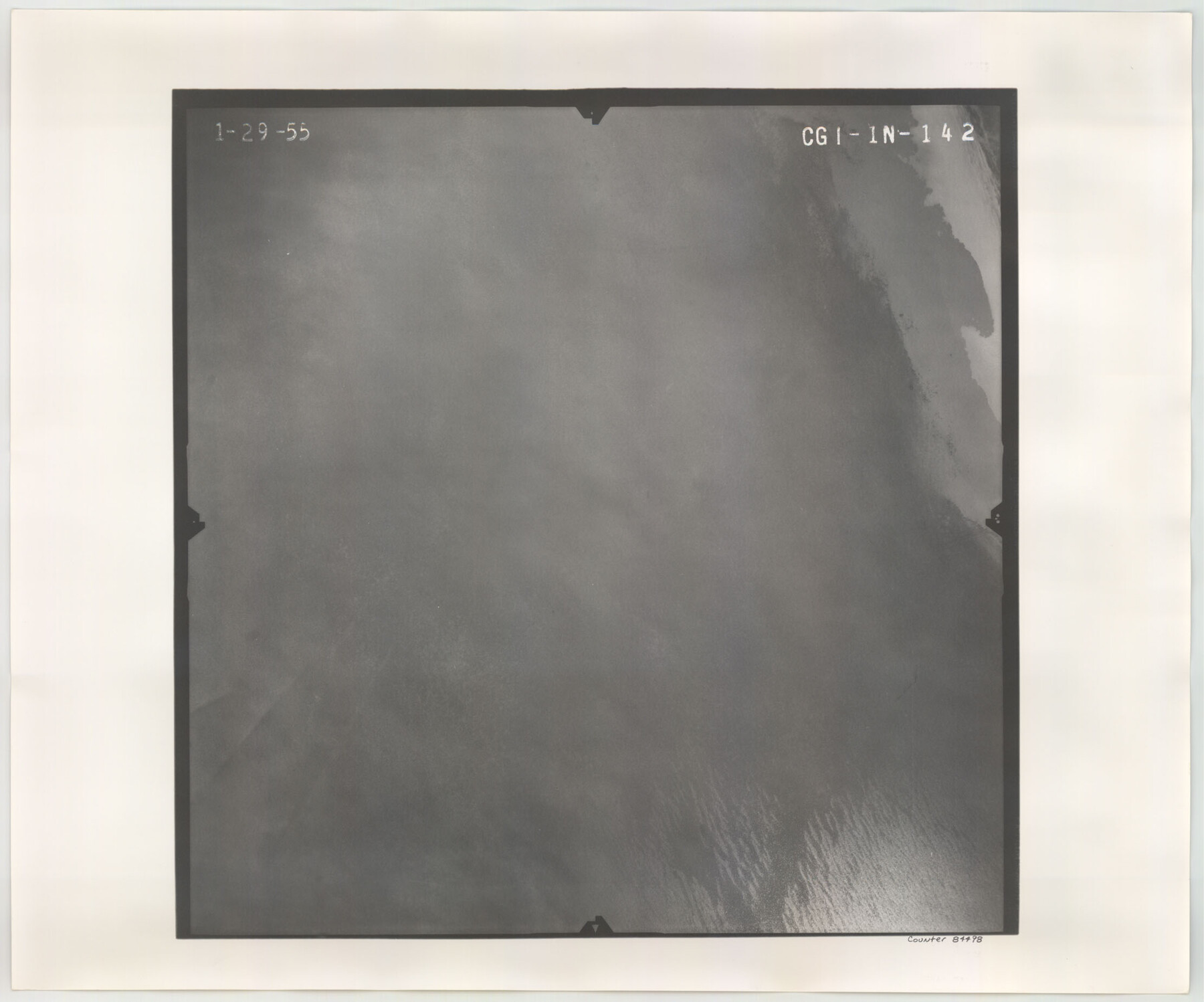
Flight Mission No. CGI-1N, Frame 142, Cameron County
CGI-1N-142
-
Map/Doc
84498
-
Collection
General Map Collection
-
Object Dates
1955/1/29 (Creation Date)
-
People and Organizations
U. S. Department of Agriculture (Publisher)
-
Counties
Cameron
-
Subjects
Aerial Photograph
-
Height x Width
18.5 x 22.2 inches
47.0 x 56.4 cm
-
Comments
Flown by Puckett Aerial Surveys, Inc. of Jackson, Mississippi.
Part of: General Map Collection
Edwards County Working Sketch 91

Print $40.00
- Digital $50.00
Edwards County Working Sketch 91
1966
Size 34.8 x 51.1 inches
Map/Doc 68967
Henderson County Sketch File 23

Print $38.00
- Digital $50.00
Henderson County Sketch File 23
1956
Size 9.1 x 9.1 inches
Map/Doc 26372
Williamson County Sketch File 7

Print $4.00
- Digital $50.00
Williamson County Sketch File 7
1847
Size 12.7 x 7.7 inches
Map/Doc 40316
Flight Mission No. CUG-2P, Frame 8, Kleberg County

Print $20.00
- Digital $50.00
Flight Mission No. CUG-2P, Frame 8, Kleberg County
1956
Size 18.5 x 22.2 inches
Map/Doc 86180
Bee County Working Sketch 27

Print $20.00
- Digital $50.00
Bee County Working Sketch 27
1988
Size 27.0 x 23.4 inches
Map/Doc 67277
Flight Mission No. CRE-2R, Frame 152, Jackson County

Print $20.00
- Digital $50.00
Flight Mission No. CRE-2R, Frame 152, Jackson County
1956
Size 16.3 x 16.1 inches
Map/Doc 85363
Wharton County Working Sketch 2

Print $20.00
- Digital $50.00
Wharton County Working Sketch 2
Size 29.3 x 37.3 inches
Map/Doc 72466
Howard County Sketch File 9

Print $20.00
- Digital $50.00
Howard County Sketch File 9
Size 19.4 x 15.9 inches
Map/Doc 11797
Marion County Working Sketch Graphic Index, Sheet 2 (Sketches 27 to Most Recent)

Print $20.00
- Digital $50.00
Marion County Working Sketch Graphic Index, Sheet 2 (Sketches 27 to Most Recent)
1943
Size 26.5 x 44.9 inches
Map/Doc 76630
Val Verde County Working Sketch 86

Print $20.00
- Digital $50.00
Val Verde County Working Sketch 86
1973
Size 42.1 x 43.8 inches
Map/Doc 72221
Hardin County Sketch File 5

Print $5.00
- Digital $50.00
Hardin County Sketch File 5
1856
Size 9.0 x 6.6 inches
Map/Doc 25092
Duval County Rolled Sketch 25

Print $20.00
- Digital $50.00
Duval County Rolled Sketch 25
1944
Size 31.3 x 27.7 inches
Map/Doc 8813
You may also like
Vehlein and Company Empresario Colony. November 17, 1828

Print $20.00
Vehlein and Company Empresario Colony. November 17, 1828
2020
Size 20.8 x 21.7 inches
Map/Doc 96008
Grimes County Working Sketch 5

Print $40.00
- Digital $50.00
Grimes County Working Sketch 5
1949
Size 43.6 x 83.2 inches
Map/Doc 63296
Bandera County Working Sketch 23

Print $20.00
- Digital $50.00
Bandera County Working Sketch 23
1950
Size 35.8 x 29.6 inches
Map/Doc 67619
Reagan County Rolled Sketch 32

Print $20.00
- Digital $50.00
Reagan County Rolled Sketch 32
Size 46.3 x 38.5 inches
Map/Doc 9827
Translations of Titles issued under the Second Contract [500 Families] of Stephen F. Austin with the Government of Coahuila & Texas - Volume 1
![94546, Translations of Titles issued under the Second Contract [500 Families] of Stephen F. Austin with the Government of Coahuila & Texas - Volume 1, Historical Volumes](https://historictexasmaps.com/wmedia_w700/pdf_converted_jpg/qi_pdf_thumbnail_39135.jpg)
Translations of Titles issued under the Second Contract [500 Families] of Stephen F. Austin with the Government of Coahuila & Texas - Volume 1
1840
Map/Doc 94546
[Bastrop District]
![16941, [Bastrop District], General Map Collection](https://historictexasmaps.com/wmedia_w700/maps/16941-1.tif.jpg)
Print $40.00
- Digital $50.00
[Bastrop District]
1838
Size 67.3 x 44.2 inches
Map/Doc 16941
East Part of Brewster Co.

Print $40.00
- Digital $50.00
East Part of Brewster Co.
1952
Size 48.8 x 31.9 inches
Map/Doc 1785
Gulf Intracoastal Waterway - Tributary Channel to Aransas Pass, Location of Spoil Disposal Areas

Print $20.00
- Digital $50.00
Gulf Intracoastal Waterway - Tributary Channel to Aransas Pass, Location of Spoil Disposal Areas
1961
Size 31.5 x 41.9 inches
Map/Doc 61828
Township 5 North Range 13 West, North Western District, Louisiana

Print $20.00
- Digital $50.00
Township 5 North Range 13 West, North Western District, Louisiana
1885
Size 19.8 x 24.7 inches
Map/Doc 65865
Blanco River, Austin Girl Scouts Council

Print $6.00
- Digital $50.00
Blanco River, Austin Girl Scouts Council
1938
Size 18.5 x 31.6 inches
Map/Doc 65058
Flight Mission No. DCL-6C, Frame 78, Kenedy County

Print $20.00
- Digital $50.00
Flight Mission No. DCL-6C, Frame 78, Kenedy County
1943
Size 17.5 x 20.7 inches
Map/Doc 85920
Val Verde County Working Sketch 117

Print $20.00
- Digital $50.00
Val Verde County Working Sketch 117
1993
Size 13.5 x 36.7 inches
Map/Doc 82847