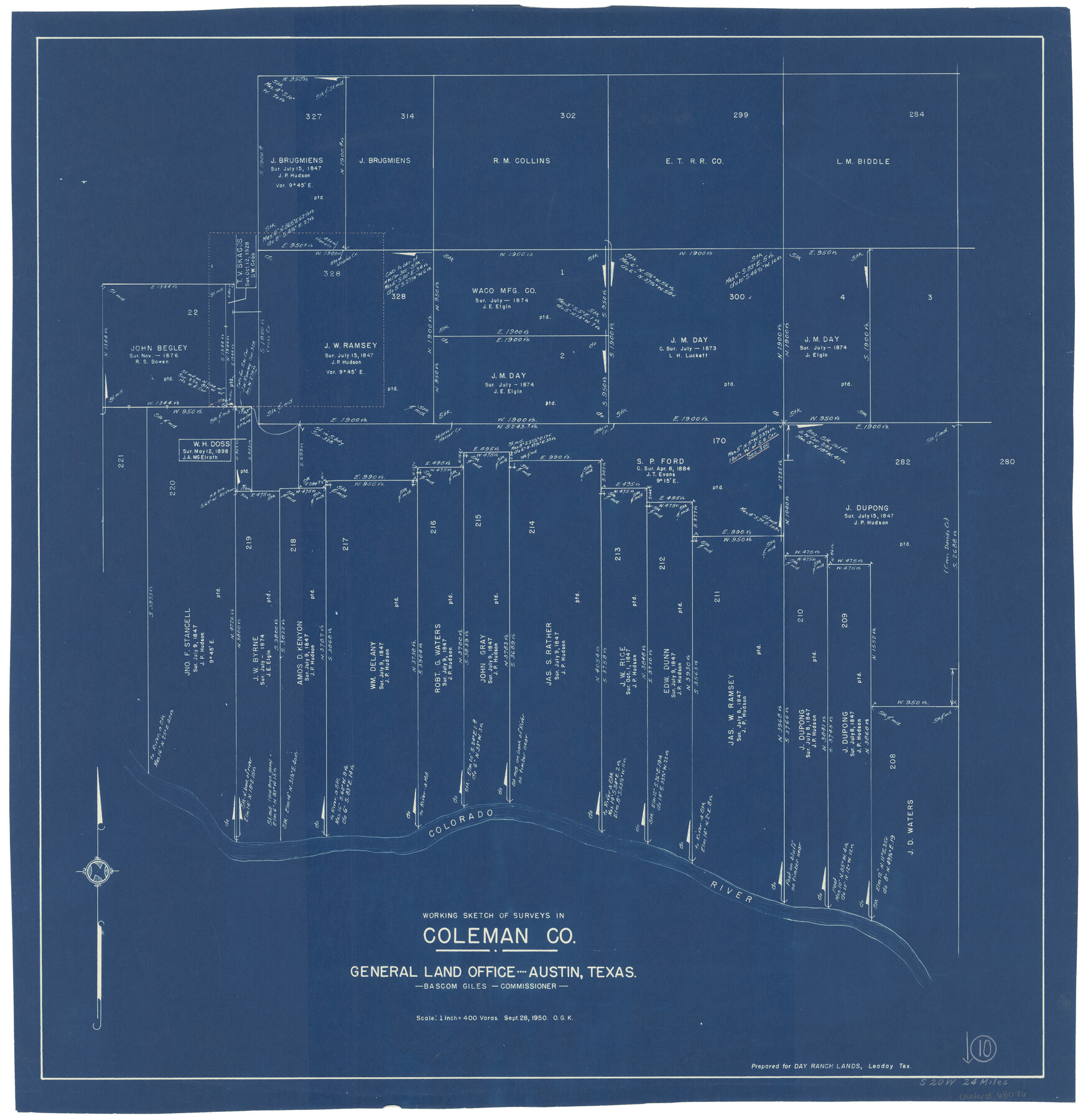
Coleman County Working Sketch 10
-
Map/Doc
68076
-
Collection
General Map Collection
-
Object Dates
9/28/1950 (Creation Date)
-
People and Organizations
Otto G. Kurio (Draftsman)
-
Counties
Coleman
-
Subjects
Surveying Working Sketch
-
Height x Width
30.1 x 29.1 inches
76.5 x 73.9 cm
-
Scale
1" = 400 varas
Part of: General Map Collection
Van Zandt County Sketch File 40

Print $4.00
- Digital $50.00
Van Zandt County Sketch File 40
Size 8.6 x 9.4 inches
Map/Doc 39486
Flight Mission No. BQR-3K, Frame 159, Brazoria County

Print $20.00
- Digital $50.00
Flight Mission No. BQR-3K, Frame 159, Brazoria County
1952
Size 18.6 x 22.3 inches
Map/Doc 83986
Andrews County Rolled Sketch 14

Print $20.00
- Digital $50.00
Andrews County Rolled Sketch 14
1934
Size 37.9 x 19.7 inches
Map/Doc 77164
Scurry County Rolled Sketch 3

Print $40.00
- Digital $50.00
Scurry County Rolled Sketch 3
Size 50.2 x 46.7 inches
Map/Doc 9912
Presidio County Sketch File B

Print $20.00
- Digital $50.00
Presidio County Sketch File B
Size 25.2 x 21.3 inches
Map/Doc 11701
Andrews County Sketch File 8a

Print $8.00
- Digital $50.00
Andrews County Sketch File 8a
1943
Size 11.3 x 8.8 inches
Map/Doc 12849
Val Verde County Working Sketch 116

Print $20.00
- Digital $50.00
Val Verde County Working Sketch 116
2003
Size 38.4 x 34.8 inches
Map/Doc 78493
Bexar County Working Sketch 1

Print $20.00
- Digital $50.00
Bexar County Working Sketch 1
1935
Size 36.7 x 47.8 inches
Map/Doc 67317
Map of Uvalde Co.

Print $20.00
- Digital $50.00
Map of Uvalde Co.
Size 41.0 x 43.9 inches
Map/Doc 63090
Map of Travis County

Print $20.00
- Digital $50.00
Map of Travis County
1861
Size 21.2 x 25.3 inches
Map/Doc 4087
Foard County Sketch File 8

Print $6.00
- Digital $50.00
Foard County Sketch File 8
Size 10.5 x 11.8 inches
Map/Doc 22810
Military Reconnaissance [showing forts along Rio Grande near Matamoros]
![72909, Military Reconnaissance [showing forts along Rio Grande near Matamoros], General Map Collection](https://historictexasmaps.com/wmedia_w700/maps/72909.tif.jpg)
Print $20.00
- Digital $50.00
Military Reconnaissance [showing forts along Rio Grande near Matamoros]
1846
Size 18.2 x 26.3 inches
Map/Doc 72909
You may also like
Blanco County Sketch File 17

Print $4.00
- Digital $50.00
Blanco County Sketch File 17
Size 12.2 x 7.9 inches
Map/Doc 14592
La Salle County Sketch File 29

Print $4.00
- Digital $50.00
La Salle County Sketch File 29
1889
Size 9.0 x 13.6 inches
Map/Doc 29561
Donley County Rolled Sketch 2

Print $20.00
- Digital $50.00
Donley County Rolled Sketch 2
Size 41.8 x 34.3 inches
Map/Doc 8800
[Surveys on the Neches River]
![220, [Surveys on the Neches River], General Map Collection](https://historictexasmaps.com/wmedia_w700/maps/220.tif.jpg)
Print $2.00
- Digital $50.00
[Surveys on the Neches River]
1845
Size 6.0 x 3.8 inches
Map/Doc 220
El Paso Street and Vicinity Map (Verso)

El Paso Street and Vicinity Map (Verso)
1962
Size 18.3 x 30.8 inches
Map/Doc 94176
McCulloch County Working Sketch 19

Print $20.00
- Digital $50.00
McCulloch County Working Sketch 19
2010
Size 32.6 x 27.0 inches
Map/Doc 89260
Johnson County Working Sketch 32

Print $20.00
- Digital $50.00
Johnson County Working Sketch 32
2008
Size 29.2 x 27.4 inches
Map/Doc 88817
Flight Mission No. CGI-2N, Frame 182, Cameron County

Print $20.00
- Digital $50.00
Flight Mission No. CGI-2N, Frame 182, Cameron County
1954
Size 18.5 x 22.2 inches
Map/Doc 84542
Brazoria County Working Sketch 21

Print $20.00
- Digital $50.00
Brazoria County Working Sketch 21
1954
Size 41.5 x 41.8 inches
Map/Doc 67506
Motley County Sketch File 37 (S)

Print $22.00
- Digital $50.00
Motley County Sketch File 37 (S)
Size 11.3 x 8.7 inches
Map/Doc 32222
Castro County Texas

Print $20.00
- Digital $50.00
Castro County Texas
Size 34.0 x 37.5 inches
Map/Doc 92618
Terrell County Working Sketch 76

Print $20.00
- Digital $50.00
Terrell County Working Sketch 76
1982
Size 31.8 x 20.1 inches
Map/Doc 69597