Flight Mission No. DQN-7K, Frame 36, Calhoun County
DQN-7K-36
-
Map/Doc
84474
-
Collection
General Map Collection
-
Object Dates
1953/12/6 (Creation Date)
-
People and Organizations
U. S. Department of Agriculture (Publisher)
-
Counties
Calhoun
-
Subjects
Aerial Photograph
-
Height x Width
18.5 x 22.2 inches
47.0 x 56.4 cm
-
Comments
Flown by Aero Exploration Company of Tulsa, Oklahoma.
Part of: General Map Collection
Flight Mission No. BRA-9M, Frame 64, Jefferson County

Print $20.00
- Digital $50.00
Flight Mission No. BRA-9M, Frame 64, Jefferson County
1953
Size 18.6 x 22.4 inches
Map/Doc 85647
Lipscomb County Boundary File 3

Print $4.00
- Digital $50.00
Lipscomb County Boundary File 3
Size 8.2 x 6.5 inches
Map/Doc 56318
Andrews County Working Sketch 6

Print $20.00
- Digital $50.00
Andrews County Working Sketch 6
1954
Size 18.4 x 42.9 inches
Map/Doc 67052
Jefferson County Rolled Sketch 12

Print $2.00
- Digital $50.00
Jefferson County Rolled Sketch 12
Size 10.6 x 8.2 inches
Map/Doc 76004
Salado, South of Milam

Print $2.00
- Digital $50.00
Salado, South of Milam
1847
Size 11.4 x 8.5 inches
Map/Doc 359
McMullen County Sketch File 41

Print $20.00
- Digital $50.00
McMullen County Sketch File 41
1939
Size 20.6 x 17.1 inches
Map/Doc 12065
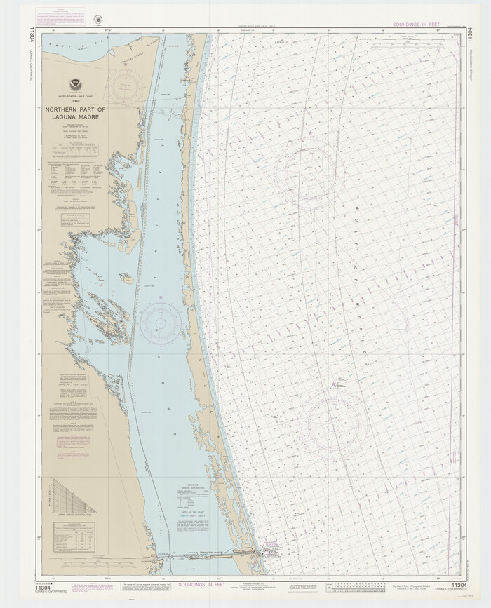
Northern Part of Laguna Madre
Print $20.00
- Digital $50.00
Northern Part of Laguna Madre
1988
Size 45.1 x 36.4 inches
Map/Doc 73531
Austin County Sketch File 1

Print $4.00
- Digital $50.00
Austin County Sketch File 1
Size 8.0 x 6.5 inches
Map/Doc 13853
Johnson County Sketch File 5

Print $20.00
- Digital $50.00
Johnson County Sketch File 5
1874
Size 33.3 x 14.3 inches
Map/Doc 11890
Moore County Rolled Sketch 4

Print $20.00
- Digital $50.00
Moore County Rolled Sketch 4
Size 21.1 x 12.1 inches
Map/Doc 6824
Current Miscellaneous File 74

Print $14.00
- Digital $50.00
Current Miscellaneous File 74
1850
Size 11.2 x 8.7 inches
Map/Doc 74181
Franklin County Working Sketch 2

Print $20.00
- Digital $50.00
Franklin County Working Sketch 2
1953
Size 33.3 x 29.9 inches
Map/Doc 69240
You may also like
[Southern Part of County]
![91905, [Southern Part of County], Twichell Survey Records](https://historictexasmaps.com/wmedia_w700/maps/91905-1.tif.jpg)
Print $2.00
- Digital $50.00
[Southern Part of County]
Size 9.8 x 7.6 inches
Map/Doc 91905

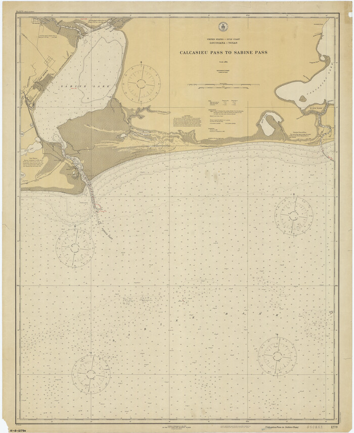
Calcasieu Pass to Sabine Pass
Print $20.00
- Digital $50.00
Calcasieu Pass to Sabine Pass
1925
Size 44.1 x 36.0 inches
Map/Doc 69804

Plat of a survey on Padre Island in Cameron County surveyed for South Padre Development Corporation by Claunch and Associates

Print $40.00
- Digital $50.00
Plat of a survey on Padre Island in Cameron County surveyed for South Padre Development Corporation by Claunch and Associates
1971
Size 68.7 x 42.8 inches
Map/Doc 61428
The Kennedy and Pringle Colony. February 15, 1842

Print $20.00
The Kennedy and Pringle Colony. February 15, 1842
2020
Size 23.0 x 17.7 inches
Map/Doc 96367
Map of Escarpment Section through Webb County, Texas (North half of Webb County)

Print $40.00
- Digital $50.00
Map of Escarpment Section through Webb County, Texas (North half of Webb County)
1925
Size 43.3 x 76.3 inches
Map/Doc 93162
The Republic County of Jackson. January 29, 1842

Print $20.00
The Republic County of Jackson. January 29, 1842
2020
Size 15.6 x 21.8 inches
Map/Doc 96189
Ellis Addition to the City of Lubbock, Being a Subdivision of a Part of the SW/4 of SW/4 Sec. 4, Blk. A

Print $3.00
- Digital $50.00
Ellis Addition to the City of Lubbock, Being a Subdivision of a Part of the SW/4 of SW/4 Sec. 4, Blk. A
1952
Size 9.4 x 11.9 inches
Map/Doc 92709
Upshur County Working Sketch 2

Print $20.00
- Digital $50.00
Upshur County Working Sketch 2
1934
Size 16.3 x 21.4 inches
Map/Doc 69558

Jasper County

Print $40.00
- Digital $50.00
Jasper County
1946
Size 48.6 x 42.9 inches
Map/Doc 73192