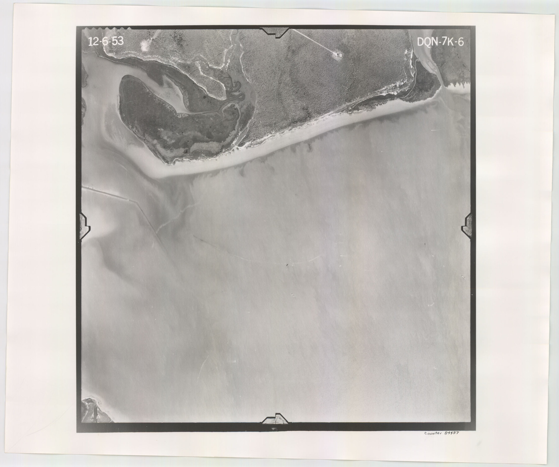
Flight Mission No. DQN-7K, Frame 6, Calhoun County
DQN-7K-6
-
Map/Doc
84457
-
Collection
General Map Collection
-
Object Dates
1953/12/6 (Creation Date)
-
People and Organizations
U. S. Department of Agriculture (Publisher)
-
Counties
Calhoun
-
Subjects
Aerial Photograph
-
Height x Width
18.8 x 22.4 inches
47.8 x 56.9 cm
-
Comments
Flown by Aero Exploration Company of Tulsa, Oklahoma.
Part of: General Map Collection
Midland County Working Sketch 3

Print $20.00
- Digital $50.00
Midland County Working Sketch 3
Size 19.5 x 35.2 inches
Map/Doc 70983
McLennan County Sketch File 7b

Print $6.00
- Digital $50.00
McLennan County Sketch File 7b
1857
Size 8.0 x 10.1 inches
Map/Doc 31248
Culberson County Working Sketch 90

Print $20.00
- Digital $50.00
Culberson County Working Sketch 90
1992
Size 35.0 x 28.0 inches
Map/Doc 68544
Throckmorton Co.

Print $20.00
- Digital $50.00
Throckmorton Co.
1898
Size 41.2 x 35.9 inches
Map/Doc 16895
Red River County Working Sketch 67

Print $20.00
- Digital $50.00
Red River County Working Sketch 67
1974
Size 46.9 x 37.7 inches
Map/Doc 72050
Calhoun County Rolled Sketch 15

Print $20.00
- Digital $50.00
Calhoun County Rolled Sketch 15
Size 34.4 x 42.6 inches
Map/Doc 8548
Nueces County Rolled Sketch 40

Print $101.00
- Digital $50.00
Nueces County Rolled Sketch 40
1962
Size 10.3 x 15.3 inches
Map/Doc 47850
Comanche County Working Sketch 21

Print $20.00
- Digital $50.00
Comanche County Working Sketch 21
1973
Size 28.0 x 26.1 inches
Map/Doc 68155
[Surveys along San Cristoval Creek]
![300, [Surveys along San Cristoval Creek], General Map Collection](https://historictexasmaps.com/wmedia_w700/maps/300.tif.jpg)
Print $2.00
- Digital $50.00
[Surveys along San Cristoval Creek]
1842
Size 9.0 x 9.3 inches
Map/Doc 300
Travis County Boundary File 1

Print $8.00
- Digital $50.00
Travis County Boundary File 1
Size 9.0 x 14.6 inches
Map/Doc 59403
Pecos County Working Sketch 101

Print $20.00
- Digital $50.00
Pecos County Working Sketch 101
1970
Size 43.3 x 31.1 inches
Map/Doc 71574
Nueces County Rolled Sketch 73

Print $20.00
- Digital $50.00
Nueces County Rolled Sketch 73
1981
Size 24.2 x 36.0 inches
Map/Doc 6931
You may also like
Flight Mission No. DIX-8P, Frame 62, Aransas County

Print $20.00
- Digital $50.00
Flight Mission No. DIX-8P, Frame 62, Aransas County
1956
Size 18.5 x 22.2 inches
Map/Doc 83893

Mapa de los Estados Unidos de Méjico, Segun lo organizado y definido por las varias actas del Congreso de dicha Republica: y construido por las mejores autoridades

Print $20.00
- Digital $50.00
Mapa de los Estados Unidos de Méjico, Segun lo organizado y definido por las varias actas del Congreso de dicha Republica: y construido por las mejores autoridades
1828
Size 29.1 x 41.6 inches
Map/Doc 93846

[I. & G. N. Block 1]
![90343, [I. & G. N. Block 1], Twichell Survey Records](https://historictexasmaps.com/wmedia_w700/maps/90343-1.tif.jpg)
Print $20.00
- Digital $50.00
[I. & G. N. Block 1]
Size 13.1 x 18.1 inches
Map/Doc 90343
The Republic County of Victoria. Spring 1842

Print $20.00
The Republic County of Victoria. Spring 1842
2020
Size 24.3 x 21.7 inches
Map/Doc 96300
Aransas County Rolled Sketch 33

Print $20.00
- Digital $50.00
Aransas County Rolled Sketch 33
1997
Size 24.5 x 36.8 inches
Map/Doc 78495
Hardin County Sketch File 2

Print $7.00
- Digital $50.00
Hardin County Sketch File 2
Size 12.7 x 8.4 inches
Map/Doc 25083
Flight Mission No. BRE-4P, Frame 171, Nueces County

Print $20.00
- Digital $50.00
Flight Mission No. BRE-4P, Frame 171, Nueces County
1956
Size 18.6 x 22.5 inches
Map/Doc 86834
Flight Mission No. DCL-6C, Frame 95, Kenedy County

Print $20.00
- Digital $50.00
Flight Mission No. DCL-6C, Frame 95, Kenedy County
1943
Size 18.6 x 22.3 inches
Map/Doc 85925
Map of the territory comprised between the Province of New Mexico and the fort of Natchitoches and Texas

Map of the territory comprised between the Province of New Mexico and the fort of Natchitoches and Texas
1789
Size 8.9 x 15.3 inches
Map/Doc 88888
Houston - a Modern City

Print $20.00
Houston - a Modern City
1912
Size 18.2 x 23.4 inches
Map/Doc 93482