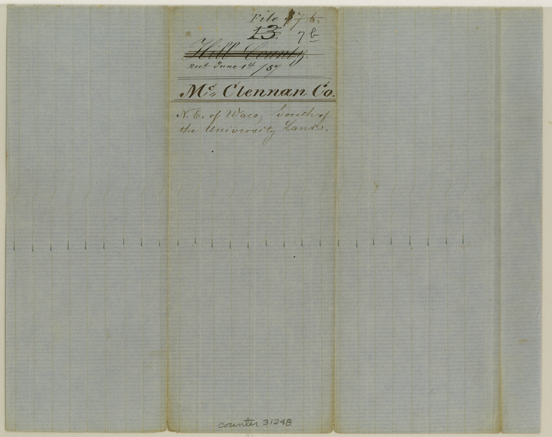
McLennan County Sketch File 7b
[Sketch of area northeast of Waco near the McLennan-Hill County line]
-
Map/Doc
31248
-
Collection
General Map Collection
-
Object Dates
5/16/1857 (Creation Date)
6/1/1857 (File Date)
-
People and Organizations
Thomas J. Oliver (Surveyor/Engineer)
-
Counties
McLennan Hill
-
Subjects
Surveying Sketch File
-
Height x Width
8.0 x 10.1 inches
20.3 x 25.7 cm
-
Medium
paper, manuscript
Part of: General Map Collection
Denton County Working Sketch 5

Print $20.00
- Digital $50.00
Denton County Working Sketch 5
1956
Size 23.9 x 19.4 inches
Map/Doc 68610
Haskell County Rolled Sketch 11

Print $20.00
- Digital $50.00
Haskell County Rolled Sketch 11
1983
Size 23.0 x 28.0 inches
Map/Doc 6170

Map of East Part of Pecos Co.

Print $20.00
- Digital $50.00
Map of East Part of Pecos Co.
1896
Size 47.4 x 37.6 inches
Map/Doc 66975
Henderson County Rolled Sketch 8

Print $40.00
- Digital $50.00
Henderson County Rolled Sketch 8
1963
Size 37.3 x 50.9 inches
Map/Doc 9164
Hartley County Working Sketch 4

Print $20.00
- Digital $50.00
Hartley County Working Sketch 4
1934
Size 23.9 x 30.6 inches
Map/Doc 66054
Flight Mission No. CUG-2P, Frame 79, Kleberg County

Print $20.00
- Digital $50.00
Flight Mission No. CUG-2P, Frame 79, Kleberg County
1956
Size 18.4 x 22.1 inches
Map/Doc 86211

Flight Mission No. DAG-17K, Frame 137, Matagorda County

Print $20.00
- Digital $50.00
Flight Mission No. DAG-17K, Frame 137, Matagorda County
1952
Size 16.5 x 16.2 inches
Map/Doc 86354
Brewster County Rolled Sketch 114

Print $20.00
- Digital $50.00
Brewster County Rolled Sketch 114
1964
Size 12.0 x 17.5 inches
Map/Doc 5291
Sketch showing progress of topographical work Laguna Madre and vicinity from Rainey Is. to Baffins Bay, Coast of Texas Sect. IX [and accompanying letter]
![72958, Sketch showing progress of topographical work Laguna Madre and vicinity from Rainey Is. to Baffins Bay, Coast of Texas Sect. IX [and accompanying letter], General Map Collection](https://historictexasmaps.com/wmedia_w700/maps/72958.tif.jpg)
Print $2.00
- Digital $50.00
Sketch showing progress of topographical work Laguna Madre and vicinity from Rainey Is. to Baffins Bay, Coast of Texas Sect. IX [and accompanying letter]
1881
Size 11.2 x 8.8 inches
Map/Doc 72958
Webb County Rolled Sketch 7

Print $20.00
- Digital $50.00
Webb County Rolled Sketch 7
Size 29.1 x 43.7 inches
Map/Doc 8173
You may also like
San Patricio County Sketch File 33

Print $20.00
- Digital $50.00
San Patricio County Sketch File 33
1946
Size 15.5 x 31.0 inches
Map/Doc 12288
Lubbock County Sketch File 11

Print $20.00
- Digital $50.00
Lubbock County Sketch File 11
1914
Size 19.4 x 18.5 inches
Map/Doc 4585
Kent County Sketch File 8

Print $20.00
- Digital $50.00
Kent County Sketch File 8
Size 19.0 x 40.8 inches
Map/Doc 10515
Flight Mission No. BQR-16K, Frame 32, Brazoria County

Print $20.00
- Digital $50.00
Flight Mission No. BQR-16K, Frame 32, Brazoria County
1952
Size 18.5 x 22.2 inches
Map/Doc 84099

Menard County Sketch File 27

Print $8.00
- Digital $50.00
Menard County Sketch File 27
1943
Size 11.2 x 8.8 inches
Map/Doc 31564
Baylor County Sketch File 12D

Print $40.00
- Digital $50.00
Baylor County Sketch File 12D
1900
Size 20.0 x 42.5 inches
Map/Doc 10323
Flight Mission No. BRA-7M, Frame 137, Jefferson County

Print $20.00
- Digital $50.00
Flight Mission No. BRA-7M, Frame 137, Jefferson County
1953
Size 18.7 x 22.4 inches
Map/Doc 85531
San Patricio County Sketch File 10

Print $8.00
San Patricio County Sketch File 10
1847
Size 13.3 x 8.4 inches
Map/Doc 36040
Hays County Rolled Sketch 24

Print $20.00
- Digital $50.00
Hays County Rolled Sketch 24
1924
Size 18.4 x 20.9 inches
Map/Doc 6180
[Boundary Survey of County]
![89735, [Boundary Survey of County], Twichell Survey Records](https://historictexasmaps.com/wmedia_w700/maps/89735-1.tif.jpg)
Print $40.00
- Digital $50.00
[Boundary Survey of County]
Size 64.9 x 37.0 inches
Map/Doc 89735
La Salle County Working Sketch 52

Print $40.00
- Digital $50.00
La Salle County Working Sketch 52
1963
Size 53.5 x 43.0 inches
Map/Doc 70353