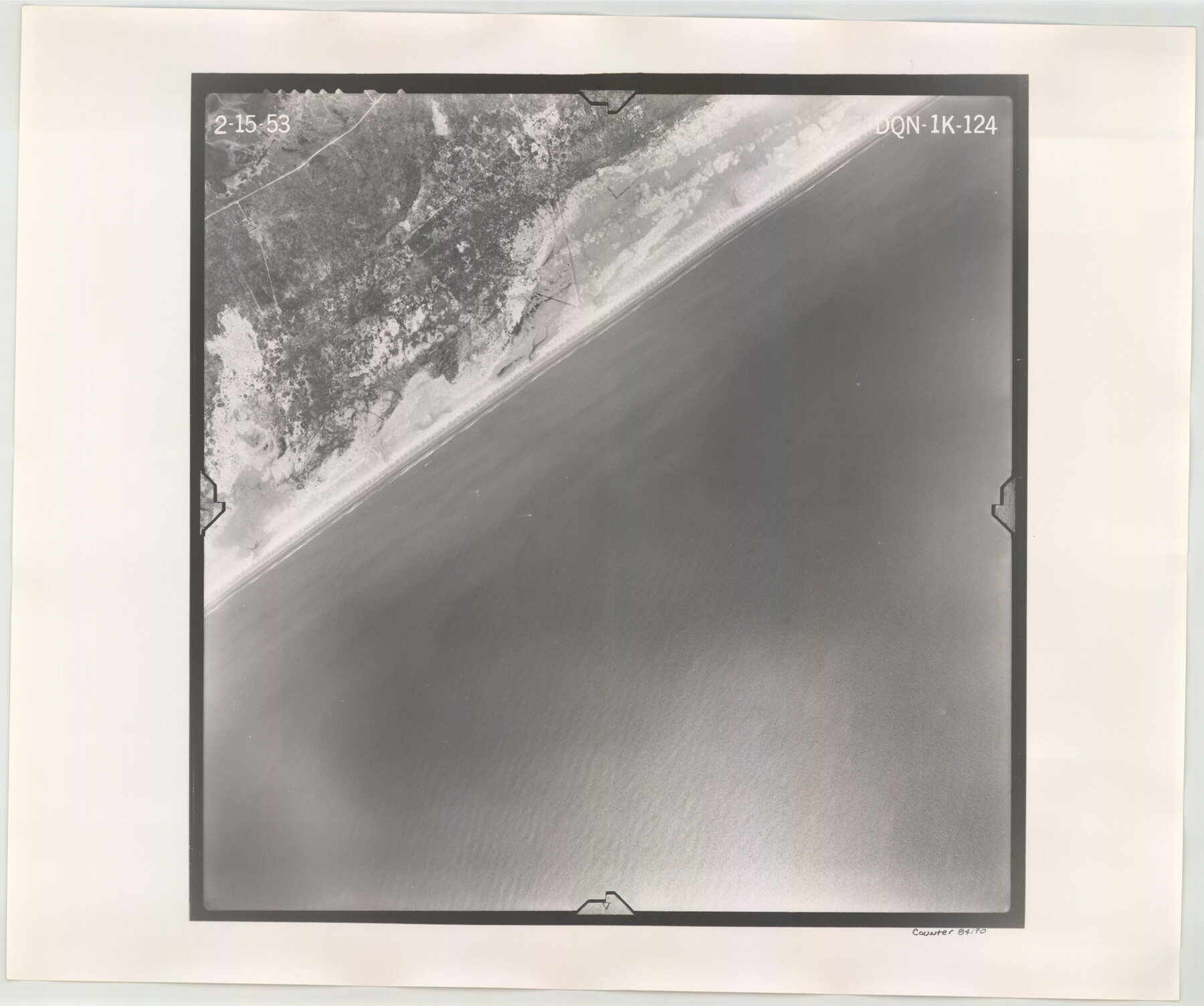
Flight Mission No. DQN-1K, Frame 124, Calhoun County
DQN-1K-124
-
Map/Doc
84190
-
Collection
General Map Collection
-
Object Dates
1953/2/15 (Creation Date)
-
People and Organizations
U. S. Department of Agriculture (Publisher)
-
Counties
Calhoun
-
Subjects
Aerial Photograph
-
Height x Width
18.7 x 22.4 inches
47.5 x 56.9 cm
-
Comments
Flown by Aero Exploration Company of Tulsa, Oklahoma.
Part of: General Map Collection
Erath County Working Sketch 25

Print $20.00
- Digital $50.00
Erath County Working Sketch 25
1968
Size 26.8 x 20.3 inches
Map/Doc 69106
Anderson County Working Sketch 17

Print $40.00
- Digital $50.00
Anderson County Working Sketch 17
1941
Size 30.3 x 48.8 inches
Map/Doc 67017
[Surveys near the Neches River]
![8, [Surveys near the Neches River], General Map Collection](https://historictexasmaps.com/wmedia_w700/maps/8.tif.jpg)
Print $3.00
- Digital $50.00
[Surveys near the Neches River]
Size 17.2 x 10.3 inches
Map/Doc 8
Flight Mission No. BRA-16M, Frame 169, Jefferson County

Print $20.00
- Digital $50.00
Flight Mission No. BRA-16M, Frame 169, Jefferson County
1953
Size 18.7 x 22.6 inches
Map/Doc 85767
Young County Working Sketch 25

Print $20.00
- Digital $50.00
Young County Working Sketch 25
1982
Size 12.6 x 14.4 inches
Map/Doc 62048
Bandera County Working Sketch 52

Print $20.00
- Digital $50.00
Bandera County Working Sketch 52
Size 37.2 x 37.6 inches
Map/Doc 67648
Intracoastal Waterway in Texas - Corpus Christi to Point Isabel including Arroyo Colorado to Mo. Pac. R.R. Bridge Near Harlingen

Print $20.00
- Digital $50.00
Intracoastal Waterway in Texas - Corpus Christi to Point Isabel including Arroyo Colorado to Mo. Pac. R.R. Bridge Near Harlingen
1933
Size 28.1 x 40.8 inches
Map/Doc 61876
Liberty County Working Sketch 63

Print $20.00
- Digital $50.00
Liberty County Working Sketch 63
1969
Size 31.3 x 28.7 inches
Map/Doc 70523
Boundary and Ownership map, Laguna Atascosa National Wildlife Refuge, Cameron and Willacy Counties, Texas

Print $40.00
- Digital $50.00
Boundary and Ownership map, Laguna Atascosa National Wildlife Refuge, Cameron and Willacy Counties, Texas
Size 72.7 x 43.0 inches
Map/Doc 60396
International boundary between U.S. & Mexico in Gulf of Mexico from 12 mile point easterly to 200 mile limit

Print $3.00
- Digital $50.00
International boundary between U.S. & Mexico in Gulf of Mexico from 12 mile point easterly to 200 mile limit
1976
Size 9.6 x 14.8 inches
Map/Doc 1748
Corpus Christi Bay

Print $20.00
- Digital $50.00
Corpus Christi Bay
1961
Size 36.0 x 47.4 inches
Map/Doc 73471
Travis County Appraisal District Plat Map 2_2814

Print $20.00
- Digital $50.00
Travis County Appraisal District Plat Map 2_2814
Size 21.6 x 26.4 inches
Map/Doc 94218
You may also like
Palo Pinto County Working Sketch 18

Print $20.00
- Digital $50.00
Palo Pinto County Working Sketch 18
1974
Size 30.5 x 37.3 inches
Map/Doc 71401
Bandera County Working Sketch 60

Print $20.00
- Digital $50.00
Bandera County Working Sketch 60
2004
Size 32.1 x 43.6 inches
Map/Doc 83562
Calcasieu Pass to Sabine Pass

Print $20.00
- Digital $50.00
Calcasieu Pass to Sabine Pass
1972
Size 44.9 x 35.8 inches
Map/Doc 69811
La Salle County Sketch File 28

Print $6.00
- Digital $50.00
La Salle County Sketch File 28
1882
Size 8.7 x 3.6 inches
Map/Doc 29555
Sterling County

Print $20.00
- Digital $50.00
Sterling County
1971
Size 45.6 x 33.9 inches
Map/Doc 95645
Sketch showing subdivision of surveys in Webb Co., Texas

Print $20.00
- Digital $50.00
Sketch showing subdivision of surveys in Webb Co., Texas
1933
Size 18.2 x 20.1 inches
Map/Doc 459
San Patricio County NRC Article 33.136 Sketch 9

Print $82.00
San Patricio County NRC Article 33.136 Sketch 9
2022
Map/Doc 97031
Hudspeth County Sketch File 28

Print $20.00
- Digital $50.00
Hudspeth County Sketch File 28
1943
Size 15.3 x 21.4 inches
Map/Doc 11803
Presidio County Rolled Sketch 91

Print $20.00
- Digital $50.00
Presidio County Rolled Sketch 91
Size 15.1 x 29.4 inches
Map/Doc 7376
[John S. Stephens Blk. S2, Lgs. 174-177, 186-193, 201-209]
![90104, [John S. Stephens Blk. S2, Lgs. 174-177, 186-193, 201-209], Twichell Survey Records](https://historictexasmaps.com/wmedia_w700/maps/90104-1.tif.jpg)
Print $2.00
- Digital $50.00
[John S. Stephens Blk. S2, Lgs. 174-177, 186-193, 201-209]
1912
Size 11.3 x 8.8 inches
Map/Doc 90104
Flight Mission No. CLL-4N, Frame 37, Willacy County

Print $20.00
- Digital $50.00
Flight Mission No. CLL-4N, Frame 37, Willacy County
1954
Size 18.4 x 22.1 inches
Map/Doc 87110
Howard County State Real Property Sketch 1

Print $40.00
- Digital $50.00
Howard County State Real Property Sketch 1
2007
Size 24.3 x 35.2 inches
Map/Doc 88673