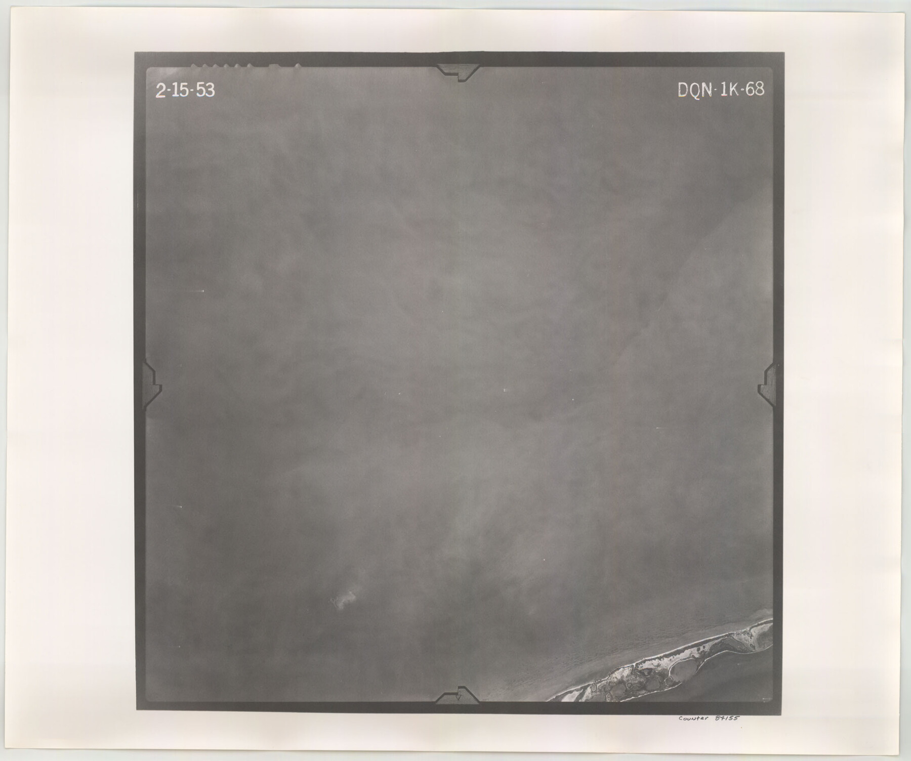
Flight Mission No. DQN-1K, Frame 68, Calhoun County
DQN-1K-68
-
Map/Doc
84155
-
Collection
General Map Collection
-
Object Dates
1953/2/15 (Creation Date)
-
People and Organizations
U. S. Department of Agriculture (Publisher)
-
Counties
Calhoun
-
Subjects
Aerial Photograph
-
Height x Width
18.6 x 22.2 inches
47.2 x 56.4 cm
-
Comments
Flown by Aero Exploration Company of Tulsa, Oklahoma.
Part of: General Map Collection
Atascosa County Sketch File 40

Print $40.00
- Digital $50.00
Atascosa County Sketch File 40
1881
Size 15.2 x 12.6 inches
Map/Doc 13835
Old Miscellaneous File 37

Print $4.00
- Digital $50.00
Old Miscellaneous File 37
1912
Size 11.2 x 8.8 inches
Map/Doc 75280
Henderson County Sketch File 16

Print $40.00
- Digital $50.00
Henderson County Sketch File 16
1935
Size 14.9 x 16.3 inches
Map/Doc 26359
Grayson County Sketch File 9

Print $4.00
- Digital $50.00
Grayson County Sketch File 9
1857
Size 12.1 x 8.1 inches
Map/Doc 24472
Pecos County Working Sketch 75

Print $20.00
- Digital $50.00
Pecos County Working Sketch 75
1958
Size 43.2 x 40.6 inches
Map/Doc 71547
Flight Mission No. DQN-2K, Frame 40, Calhoun County

Print $20.00
- Digital $50.00
Flight Mission No. DQN-2K, Frame 40, Calhoun County
1953
Size 18.6 x 22.2 inches
Map/Doc 84245
Val Verde County Rolled Sketch 51

Print $40.00
- Digital $50.00
Val Verde County Rolled Sketch 51
1937
Size 29.4 x 48.4 inches
Map/Doc 10075
Hudspeth County Rolled Sketch 61

Print $40.00
- Digital $50.00
Hudspeth County Rolled Sketch 61
1982
Size 71.3 x 45.1 inches
Map/Doc 9626
Nueces County Sketch File 53

Print $4.00
- Digital $50.00
Nueces County Sketch File 53
1903
Size 11.1 x 8.8 inches
Map/Doc 32863
Intracoastal Waterway - Galveston Bay to West Bay including Galveston Bay Entrance

Print $20.00
- Digital $50.00
Intracoastal Waterway - Galveston Bay to West Bay including Galveston Bay Entrance
1962
Size 26.9 x 38.6 inches
Map/Doc 69936
Flight Mission No. DIX-7P, Frame 90, Aransas County

Print $20.00
- Digital $50.00
Flight Mission No. DIX-7P, Frame 90, Aransas County
1956
Size 18.8 x 22.4 inches
Map/Doc 83884
Harris County Rolled Sketch 80A

Print $40.00
- Digital $50.00
Harris County Rolled Sketch 80A
Size 42.8 x 52.6 inches
Map/Doc 9136
You may also like
Val Verde County Working Sketch 113

Print $40.00
- Digital $50.00
Val Verde County Working Sketch 113
2003
Size 54.9 x 34.6 inches
Map/Doc 78492
Angelina County Sketch File 31

Print $8.00
- Digital $50.00
Angelina County Sketch File 31
1988
Size 11.2 x 8.8 inches
Map/Doc 13089
Robertson County Sketch File 4

Print $12.00
Robertson County Sketch File 4
1862
Size 11.0 x 8.0 inches
Map/Doc 35352
Flight Mission No. DQN-2K, Frame 136, Calhoun County

Print $20.00
- Digital $50.00
Flight Mission No. DQN-2K, Frame 136, Calhoun County
1953
Size 18.5 x 15.8 inches
Map/Doc 84305
Archer County Working Sketch 22

Print $20.00
- Digital $50.00
Archer County Working Sketch 22
1980
Size 36.4 x 38.0 inches
Map/Doc 67163
Loving County Working Sketch 3

Print $20.00
- Digital $50.00
Loving County Working Sketch 3
1941
Size 18.0 x 42.2 inches
Map/Doc 70635
Moore County Sketch File 5

Print $22.00
- Digital $50.00
Moore County Sketch File 5
Size 9.0 x 12.6 inches
Map/Doc 31937
Cooke County Sketch File 47

Print $24.00
- Digital $50.00
Cooke County Sketch File 47
2003
Size 26.6 x 18.4 inches
Map/Doc 78650
Hudspeth County Rolled Sketch 43

Print $40.00
- Digital $50.00
Hudspeth County Rolled Sketch 43
1932
Size 155.2 x 14.6 inches
Map/Doc 9216
Liberty County Working Sketch 84

Print $20.00
- Digital $50.00
Liberty County Working Sketch 84
1981
Size 21.3 x 18.4 inches
Map/Doc 70544
Jack County Working Sketch 8

Print $20.00
- Digital $50.00
Jack County Working Sketch 8
1954
Size 30.5 x 35.9 inches
Map/Doc 66434
Flight Mission No. DQN-5K, Frame 49, Calhoun County

Print $20.00
- Digital $50.00
Flight Mission No. DQN-5K, Frame 49, Calhoun County
1953
Size 17.4 x 22.3 inches
Map/Doc 84394