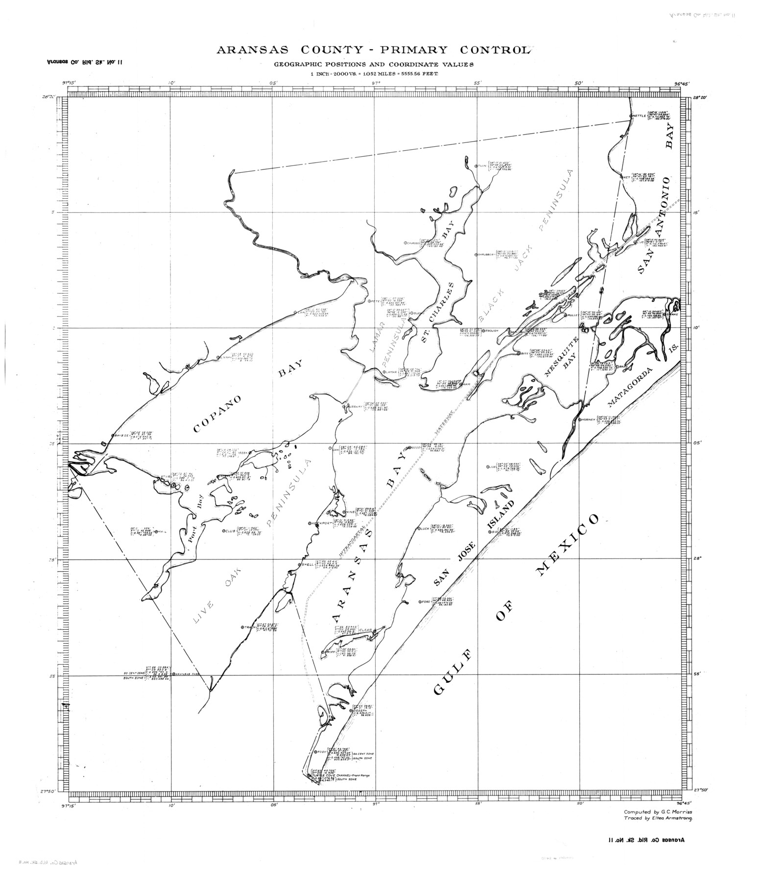
Aransas County Rolled Sketch 11
Aransas County - Primary Control, Geographic Positions and Coordinate Values
-
Map/Doc
8410
-
Collection
General Map Collection
-
Object Dates
1957/1/29 (File Date)
-
People and Organizations
Eltea Armstrong (Draftsman)
G.C. Morriss (Surveyor/Engineer)
-
Counties
Aransas
-
Subjects
Surveying Rolled Sketch
-
Height x Width
42.0 x 36.4 inches
106.7 x 92.5 cm
-
Medium
linen, manuscript
-
Scale
1" = 2000 vrs.
Part of: General Map Collection
Leon County Sketch File 10

Print $64.00
- Digital $50.00
Leon County Sketch File 10
1871
Size 10.6 x 15.7 inches
Map/Doc 29731
[Map of Henderson County]
![76767, [Map of Henderson County], General Map Collection](https://historictexasmaps.com/wmedia_w700/maps/76767.tif.jpg)
Print $20.00
- Digital $50.00
[Map of Henderson County]
1854
Size 29.7 x 22.0 inches
Map/Doc 76767
Flight Mission No. BQR-9K, Frame 13, Brazoria County

Print $20.00
- Digital $50.00
Flight Mission No. BQR-9K, Frame 13, Brazoria County
1952
Size 19.0 x 22.6 inches
Map/Doc 84042
Val Verde County Working Sketch 57

Print $20.00
- Digital $50.00
Val Verde County Working Sketch 57
1958
Size 29.2 x 31.0 inches
Map/Doc 72192
[Surveys along the Leon River]
![82093, [Surveys along the Leon River], General Map Collection](https://historictexasmaps.com/wmedia_w700/maps/82093.tif.jpg)
Print $20.00
- Digital $50.00
[Surveys along the Leon River]
1840
Size 20.5 x 6.7 inches
Map/Doc 82093
Bastrop County Working Sketch 2

Print $20.00
- Digital $50.00
Bastrop County Working Sketch 2
1913
Size 14.0 x 13.6 inches
Map/Doc 67302
Harris County Sketch File 15

Print $4.00
- Digital $50.00
Harris County Sketch File 15
Size 8.0 x 8.9 inches
Map/Doc 25359
Howard County Sketch File 5

Print $3.00
- Digital $50.00
Howard County Sketch File 5
Size 20.0 x 12.8 inches
Map/Doc 11794
Fannin County Working Sketch Graphic Index

Print $20.00
- Digital $50.00
Fannin County Working Sketch Graphic Index
1946
Size 41.3 x 36.2 inches
Map/Doc 76540
Newton County Working Sketch 29

Print $20.00
- Digital $50.00
Newton County Working Sketch 29
1955
Size 21.2 x 39.8 inches
Map/Doc 71275
Flight Mission No. DQO-8K, Frame 78, Galveston County

Print $20.00
- Digital $50.00
Flight Mission No. DQO-8K, Frame 78, Galveston County
1952
Size 18.8 x 22.5 inches
Map/Doc 85182
Tarrant's Key and Guide to Dallas

Print $3.00
- Digital $50.00
Tarrant's Key and Guide to Dallas
1922
Size 7.9 x 10.3 inches
Map/Doc 89275
You may also like
Greenville, Hunt County, Texas

Print $20.00
Greenville, Hunt County, Texas
1891
Size 21.9 x 36.5 inches
Map/Doc 79749
Limestone County Sketch File 22

Print $4.00
- Digital $50.00
Limestone County Sketch File 22
Size 11.4 x 7.3 inches
Map/Doc 30201
Index Map No. 1 - Rio Bravo del Norte section of boundary between the United States & Mexico; agreed upon by the Joint Commission under the Treaty of Guadalupe Hidalgo

Print $20.00
- Digital $50.00
Index Map No. 1 - Rio Bravo del Norte section of boundary between the United States & Mexico; agreed upon by the Joint Commission under the Treaty of Guadalupe Hidalgo
1852
Size 18.5 x 27.4 inches
Map/Doc 72859
Flight Mission No. CGI-3N, Frame 71, Cameron County

Print $20.00
- Digital $50.00
Flight Mission No. CGI-3N, Frame 71, Cameron County
1954
Size 18.4 x 22.3 inches
Map/Doc 84565
From Aransas Pass Eastward, Texas

Print $40.00
- Digital $50.00
From Aransas Pass Eastward, Texas
1866
Size 31.4 x 53.6 inches
Map/Doc 73426
Liberty County Rolled Sketch JP2

Print $40.00
- Digital $50.00
Liberty County Rolled Sketch JP2
1935
Size 52.2 x 12.7 inches
Map/Doc 81403
[H. & T. C. RR. Co. Block 48 and vicinity]
![90647, [H. & T. C. RR. Co. Block 48 and vicinity], Twichell Survey Records](https://historictexasmaps.com/wmedia_w700/maps/90647-1.tif.jpg)
Print $20.00
- Digital $50.00
[H. & T. C. RR. Co. Block 48 and vicinity]
Size 35.4 x 24.4 inches
Map/Doc 90647
Hopkins County Working Sketch 2

Print $20.00
- Digital $50.00
Hopkins County Working Sketch 2
1954
Size 25.3 x 21.2 inches
Map/Doc 66227

Map of the River Sabine from its mouth on the Gulf of Mexico in the Sea to Logan's Ferry in Latitude 31°58'24" North

Print $40.00
- Digital $50.00
Map of the River Sabine from its mouth on the Gulf of Mexico in the Sea to Logan's Ferry in Latitude 31°58'24" North
1842
Size 173.2 x 31.0 inches
Map/Doc 1744
Ochiltree County

Print $20.00
- Digital $50.00
Ochiltree County
1908
Size 40.9 x 37.1 inches
Map/Doc 16782
General Highway Map, Cochran County, Texas

Print $20.00
General Highway Map, Cochran County, Texas
1961
Size 24.8 x 18.2 inches
Map/Doc 79410