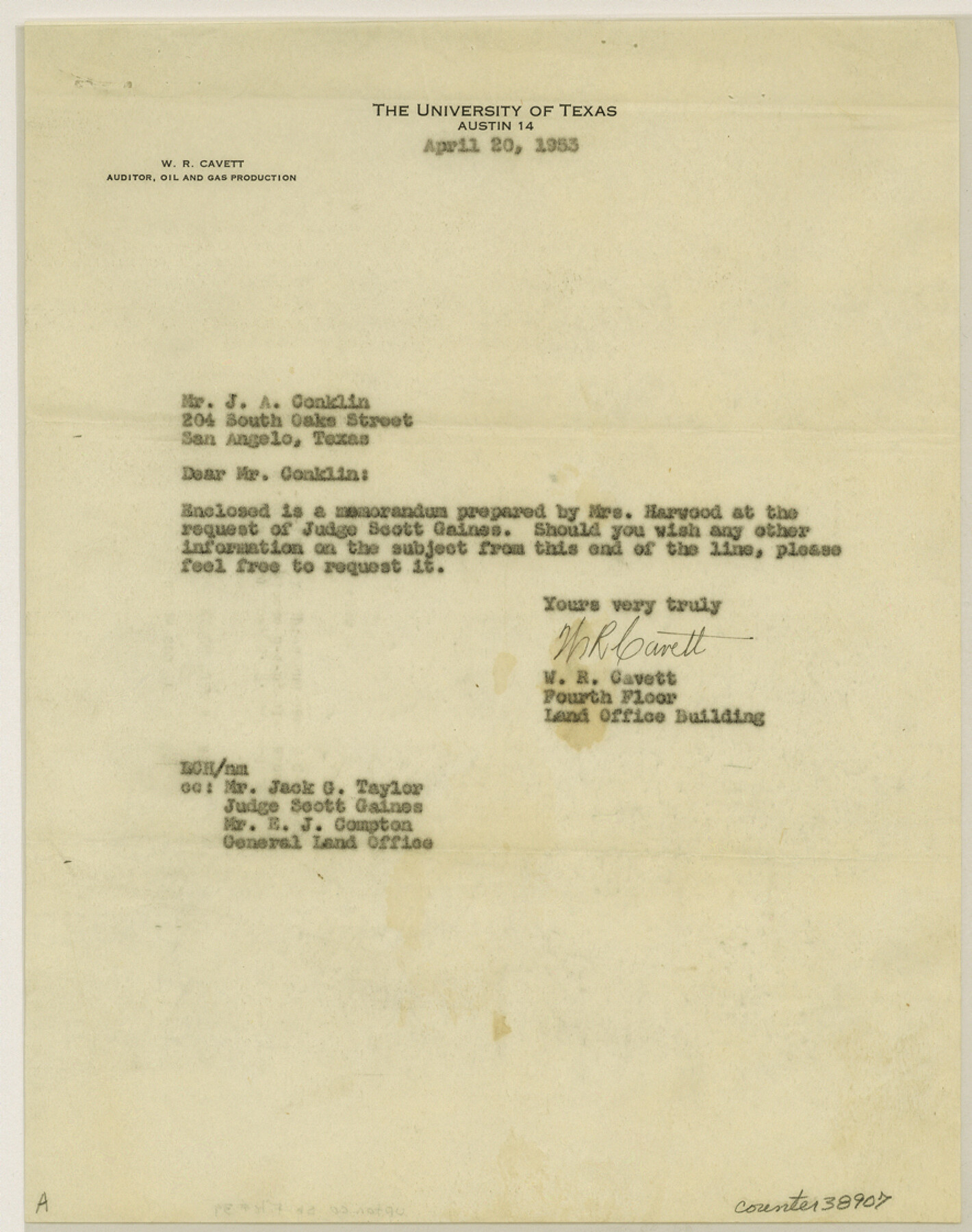
Upton County Sketch File 39
[Memo regarding University Blocks 3 through 5, also Blocks 58, 10, 11 and 12 in Upton and Reagan Counties]
-
Map/Doc
38907
-
Collection
General Map Collection
-
Object Dates
4/20/1953 (Creation Date)
4/20/1853 (Creation Date)
-
People and Organizations
W.R. Cavett (GLO Clerk)
-
Counties
Upton
-
Subjects
Surveying Sketch File
-
Height x Width
11.2 x 8.8 inches
28.5 x 22.4 cm
-
Medium
paper, print
Part of: General Map Collection
Flight Mission No. DCL-7C, Frame 9, Kenedy County

Print $20.00
- Digital $50.00
Flight Mission No. DCL-7C, Frame 9, Kenedy County
1943
Size 15.3 x 15.2 inches
Map/Doc 86001
Hidalgo County Working Sketch 3

Print $20.00
- Digital $50.00
Hidalgo County Working Sketch 3
1941
Size 41.1 x 32.8 inches
Map/Doc 66180
Liberty County Rolled Sketch F

Print $20.00
- Digital $50.00
Liberty County Rolled Sketch F
Size 24.9 x 25.5 inches
Map/Doc 6621
Parmer County Sketch File 2

Print $26.00
- Digital $50.00
Parmer County Sketch File 2
1903
Size 7.2 x 8.7 inches
Map/Doc 33626
Carta Esferica que comprehende las costas del Seno Mexicano construida de orden del rey en el deposito hidrografico de marina: Por disposicion del Exmo. Señor Don Juan de Langara, Secretario de Estado y del Despacho Universal de ella. Año de 1799.

Print $20.00
- Digital $50.00
Carta Esferica que comprehende las costas del Seno Mexicano construida de orden del rey en el deposito hidrografico de marina: Por disposicion del Exmo. Señor Don Juan de Langara, Secretario de Estado y del Despacho Universal de ella. Año de 1799.
1799
Size 25.9 x 37.3 inches
Map/Doc 95367
Nacogdoches County

Print $20.00
- Digital $50.00
Nacogdoches County
1950
Size 45.4 x 41.6 inches
Map/Doc 77381
Polk County Sketch File 29a

Print $4.00
- Digital $50.00
Polk County Sketch File 29a
Size 12.1 x 8.2 inches
Map/Doc 34202
Brazos River, Brazos River Sheet 8

Print $4.00
- Digital $50.00
Brazos River, Brazos River Sheet 8
1926
Size 22.6 x 29.2 inches
Map/Doc 65301
Sutton County Rolled Sketch 45

Print $20.00
- Digital $50.00
Sutton County Rolled Sketch 45
Size 39.1 x 47.2 inches
Map/Doc 9974
Lampasas County Working Sketch 17

Print $20.00
- Digital $50.00
Lampasas County Working Sketch 17
1977
Size 24.0 x 13.2 inches
Map/Doc 70294
Matagorda Light to Aransas Pass

Print $20.00
- Digital $50.00
Matagorda Light to Aransas Pass
1985
Size 36.8 x 44.8 inches
Map/Doc 73403

You may also like
Flight Mission No. DAG-19K, Frame 65, Matagorda County

Print $20.00
- Digital $50.00
Flight Mission No. DAG-19K, Frame 65, Matagorda County
1952
Size 18.5 x 22.3 inches
Map/Doc 86392
Flight Mission No. CLL-1N, Frame 196, Willacy County

Print $20.00
- Digital $50.00
Flight Mission No. CLL-1N, Frame 196, Willacy County
1954
Size 18.5 x 22.2 inches
Map/Doc 87066
Harris County Sketch File 55

Print $20.00
- Digital $50.00
Harris County Sketch File 55
1916
Size 21.8 x 29.7 inches
Map/Doc 11655

Jackson County

Print $40.00
- Digital $50.00
Jackson County
1920
Size 48.5 x 40.8 inches
Map/Doc 4989
Gregg County Working Sketch 18

Print $20.00
- Digital $50.00
Gregg County Working Sketch 18
1955
Size 23.3 x 24.0 inches
Map/Doc 63285
Flight Mission No. CUG-2P, Frame 30, Kleberg County

Print $20.00
- Digital $50.00
Flight Mission No. CUG-2P, Frame 30, Kleberg County
1956
Size 18.5 x 22.4 inches
Map/Doc 86195
Atascosa County Working Sketch 9

Print $20.00
- Digital $50.00
Atascosa County Working Sketch 9
1914
Size 16.5 x 14.6 inches
Map/Doc 67205
Jasper County Working Sketch 35

Print $20.00
- Digital $50.00
Jasper County Working Sketch 35
2008
Size 28.5 x 40.0 inches
Map/Doc 88733
Flight Mission No. DAG-28K, Frame 22, Matagorda County

Print $20.00
- Digital $50.00
Flight Mission No. DAG-28K, Frame 22, Matagorda County
1953
Size 18.4 x 22.3 inches
Map/Doc 86590
Caldwell County Working Sketch 5

Print $20.00
- Digital $50.00
Caldwell County Working Sketch 5
1940
Size 19.9 x 27.4 inches
Map/Doc 67835
Galveston County NRC Article 33.136 Location Key Sheet

Print $20.00
- Digital $50.00
Galveston County NRC Article 33.136 Location Key Sheet
1995
Size 27.0 x 22.0 inches
Map/Doc 83001