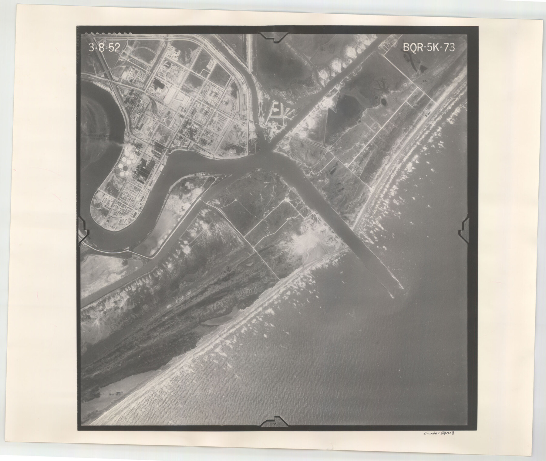
Flight Mission No. BQR-5K, Frame 73, Brazoria County
BQR-5K-73
-
Map/Doc
84018
-
Collection
General Map Collection
-
Object Dates
1952/3/8 (Creation Date)
-
People and Organizations
U. S. Department of Agriculture (Publisher)
-
Counties
Brazoria
-
Subjects
Aerial Photograph
-
Height x Width
19.1 x 22.6 inches
48.5 x 57.4 cm
-
Comments
Flown by Aero Exploration Company of Tulsa, Oklahoma.
Part of: General Map Collection
Hopkins County

Print $20.00
- Digital $50.00
Hopkins County
1942
Size 45.7 x 42.2 inches
Map/Doc 95533
Anderson County Boundary File 6

Print $9.00
- Digital $50.00
Anderson County Boundary File 6
Size 14.3 x 8.7 inches
Map/Doc 49747
Reeves County Sketch File 19

Print $9.00
- Digital $50.00
Reeves County Sketch File 19
1958
Size 11.3 x 8.9 inches
Map/Doc 35212
Edwards County Working Sketch 113

Print $20.00
- Digital $50.00
Edwards County Working Sketch 113
1972
Size 39.1 x 36.0 inches
Map/Doc 68989
Newton County Sketch File 16

Print $5.00
- Digital $50.00
Newton County Sketch File 16
1880
Size 8.9 x 10.6 inches
Map/Doc 32390
Coryell County Sketch File 10

Print $6.00
- Digital $50.00
Coryell County Sketch File 10
1861
Size 8.6 x 7.2 inches
Map/Doc 19361
Clay County Sketch File 45

Print $20.00
- Digital $50.00
Clay County Sketch File 45
Size 23.5 x 35.4 inches
Map/Doc 11097
[Grid Map Showing Texas, Louisiana, Arkansas, Mississippi and portions of New Mexico, Oklahoma and Tennessee]
![4668, [Grid Map Showing Texas, Louisiana, Arkansas, Mississippi and portions of New Mexico, Oklahoma and Tennessee], General Map Collection](https://historictexasmaps.com/wmedia_w700/maps/4668.tif.jpg)
Print $20.00
- Digital $50.00
[Grid Map Showing Texas, Louisiana, Arkansas, Mississippi and portions of New Mexico, Oklahoma and Tennessee]
1940
Size 36.4 x 47.3 inches
Map/Doc 4668
Lamar County Sketch File 1

Print $4.00
- Digital $50.00
Lamar County Sketch File 1
1849
Size 8.0 x 8.2 inches
Map/Doc 29271
Brewster County Working Sketch 7

Print $20.00
- Digital $50.00
Brewster County Working Sketch 7
1909
Size 39.9 x 17.1 inches
Map/Doc 67540
Red River County Working Sketch 38

Print $20.00
- Digital $50.00
Red River County Working Sketch 38
1965
Size 24.0 x 24.9 inches
Map/Doc 72021
Trinity County Sketch File 19

Print $20.00
- Digital $50.00
Trinity County Sketch File 19
Size 16.6 x 16.7 inches
Map/Doc 12484
You may also like
Denton County Working Sketch 26

Print $20.00
- Digital $50.00
Denton County Working Sketch 26
1995
Size 29.3 x 33.9 inches
Map/Doc 68631
Marion County Rolled Sketch 4

Print $40.00
- Digital $50.00
Marion County Rolled Sketch 4
1951
Size 43.1 x 58.0 inches
Map/Doc 9491
Southern Part of Laguna Madre

Print $20.00
- Digital $50.00
Southern Part of Laguna Madre
1972
Size 44.3 x 35.6 inches
Map/Doc 73542
[Township 3 North, Block 32]
![91207, [Township 3 North, Block 32], Twichell Survey Records](https://historictexasmaps.com/wmedia_w700/maps/91207-1.tif.jpg)
Print $20.00
- Digital $50.00
[Township 3 North, Block 32]
Size 14.4 x 17.8 inches
Map/Doc 91207
Flight Mission No. BRA-7M, Frame 36, Jefferson County

Print $20.00
- Digital $50.00
Flight Mission No. BRA-7M, Frame 36, Jefferson County
1953
Size 18.7 x 22.3 inches
Map/Doc 85487
Orange County Sketch File 32

Print $6.00
- Digital $50.00
Orange County Sketch File 32
1926
Size 14.3 x 8.7 inches
Map/Doc 33360
Val Verde County Rolled Sketch 1

Print $40.00
- Digital $50.00
Val Verde County Rolled Sketch 1
1885
Size 69.8 x 39.1 inches
Map/Doc 10068
Taylor County Working Sketch 8

Print $40.00
- Digital $50.00
Taylor County Working Sketch 8
1953
Size 73.2 x 43.1 inches
Map/Doc 69618
Rusk County Sketch File 15

Print $4.00
Rusk County Sketch File 15
1855
Size 8.1 x 10.1 inches
Map/Doc 35516
[Cotton Belt, St. Louis Southwestern Railway of Texas, Alignment through Smith County]
![64378, [Cotton Belt, St. Louis Southwestern Railway of Texas, Alignment through Smith County], General Map Collection](https://historictexasmaps.com/wmedia_w700/maps/64378.tif.jpg)
Print $20.00
- Digital $50.00
[Cotton Belt, St. Louis Southwestern Railway of Texas, Alignment through Smith County]
1903
Size 22.3 x 30.1 inches
Map/Doc 64378
Presidio County Working Sketch 146

Print $20.00
- Digital $50.00
Presidio County Working Sketch 146
1989
Size 20.7 x 20.6 inches
Map/Doc 71824
Matagorda Bay and Approaches

Print $20.00
- Digital $50.00
Matagorda Bay and Approaches
1973
Size 34.9 x 45.0 inches
Map/Doc 73385