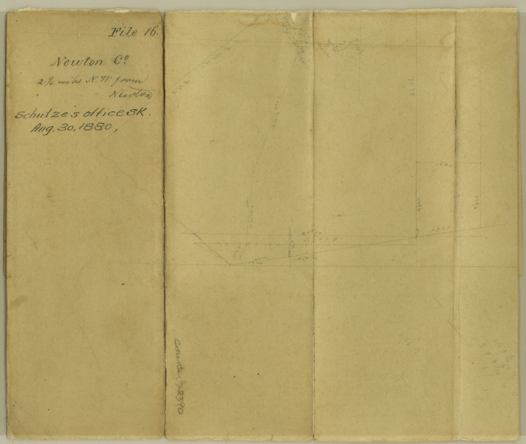
Newton County Sketch File 16
[Office sketch of area northwest of Newton]
-
Map/Doc
32390
-
Collection
General Map Collection
-
Object Dates
8/30/1880 (Creation Date)
-
Counties
Newton
-
Subjects
Surveying Sketch File
-
Height x Width
8.9 x 10.6 inches
22.6 x 26.9 cm
-
Medium
paper, manuscript
Part of: General Map Collection
Lamb County Rolled Sketch 3

Print $20.00
- Digital $50.00
Lamb County Rolled Sketch 3
1917
Size 23.0 x 42.5 inches
Map/Doc 9413
Map of the Paluxy Artesian Reservoirs of the Black and Grand Prairies of Texas including the Eastern and Western Cross Timbers

Print $20.00
- Digital $50.00
Map of the Paluxy Artesian Reservoirs of the Black and Grand Prairies of Texas including the Eastern and Western Cross Timbers
1900
Size 24.8 x 24.4 inches
Map/Doc 75919
Stephens County Working Sketch 7

Print $20.00
- Digital $50.00
Stephens County Working Sketch 7
1919
Size 26.9 x 16.6 inches
Map/Doc 63950
Oldham County Sketch File 6

Print $20.00
- Digital $50.00
Oldham County Sketch File 6
1883
Size 31.4 x 42.8 inches
Map/Doc 10561
Denton County Working Sketch 39

Print $20.00
- Digital $50.00
Denton County Working Sketch 39
2018
Size 24.2 x 35.4 inches
Map/Doc 95323
Val Verde County Rolled Sketch 72A

Print $20.00
- Digital $50.00
Val Verde County Rolled Sketch 72A
Size 15.5 x 37.8 inches
Map/Doc 8135
Dallas County Working Sketch 3

Print $20.00
- Digital $50.00
Dallas County Working Sketch 3
1922
Size 14.2 x 12.2 inches
Map/Doc 68569
Presidio County Sketch File 3

Print $6.00
- Digital $50.00
Presidio County Sketch File 3
1941
Size 8.5 x 7.7 inches
Map/Doc 34423
Orange County Sketch File 43

Print $4.00
- Digital $50.00
Orange County Sketch File 43
1873
Size 8.2 x 10.3 inches
Map/Doc 33385
Tom Green County Rolled Sketch 18

Print $20.00
- Digital $50.00
Tom Green County Rolled Sketch 18
Size 15.7 x 23.8 inches
Map/Doc 8001
Sabine County Rolled Sketch 2

Print $20.00
- Digital $50.00
Sabine County Rolled Sketch 2
1949
Size 33.3 x 20.8 inches
Map/Doc 7551
Bastrop County Working Sketch 10

Print $20.00
- Digital $50.00
Bastrop County Working Sketch 10
1968
Size 31.9 x 37.7 inches
Map/Doc 67310
You may also like
Webb County Sketch File 56

Print $20.00
- Digital $50.00
Webb County Sketch File 56
1940
Size 18.4 x 20.7 inches
Map/Doc 12651
Palo Pinto County Working Sketch 21

Print $20.00
- Digital $50.00
Palo Pinto County Working Sketch 21
1984
Size 37.9 x 39.9 inches
Map/Doc 71404
Map of surveys 191 & 192 T. C. R.R. Co. in Travis County, Texas

Print $20.00
- Digital $50.00
Map of surveys 191 & 192 T. C. R.R. Co. in Travis County, Texas
1915
Size 20.6 x 13.5 inches
Map/Doc 75556
Map of Houston, Texas

Print $20.00
- Digital $50.00
Map of Houston, Texas
1890
Size 10.3 x 7.1 inches
Map/Doc 94064
Harris County Boundary File 39

Print $40.00
- Digital $50.00
Harris County Boundary File 39
Size 9.1 x 3.9 inches
Map/Doc 54306
Reeves County Rolled Sketch 4

Print $20.00
- Digital $50.00
Reeves County Rolled Sketch 4
1891
Size 23.9 x 39.6 inches
Map/Doc 7476
Milam County Boundary File 6a

Print $20.00
- Digital $50.00
Milam County Boundary File 6a
Size 9.5 x 29.0 inches
Map/Doc 57248
Brewster County Working Sketch 72

Print $20.00
- Digital $50.00
Brewster County Working Sketch 72
1965
Size 20.7 x 24.6 inches
Map/Doc 67672
Hall County Working Sketch 2

Print $40.00
- Digital $50.00
Hall County Working Sketch 2
1907
Size 40.9 x 48.4 inches
Map/Doc 63330
Flight Mission No. DAG-24K, Frame 159, Matagorda County

Print $20.00
- Digital $50.00
Flight Mission No. DAG-24K, Frame 159, Matagorda County
1953
Size 17.2 x 19.1 inches
Map/Doc 86573
El Paso County Working Sketch 10

Print $20.00
- Digital $50.00
El Paso County Working Sketch 10
1955
Size 31.1 x 20.5 inches
Map/Doc 69032
Liberty County Working Sketch 51

Print $20.00
- Digital $50.00
Liberty County Working Sketch 51
1955
Size 17.5 x 38.5 inches
Map/Doc 70511