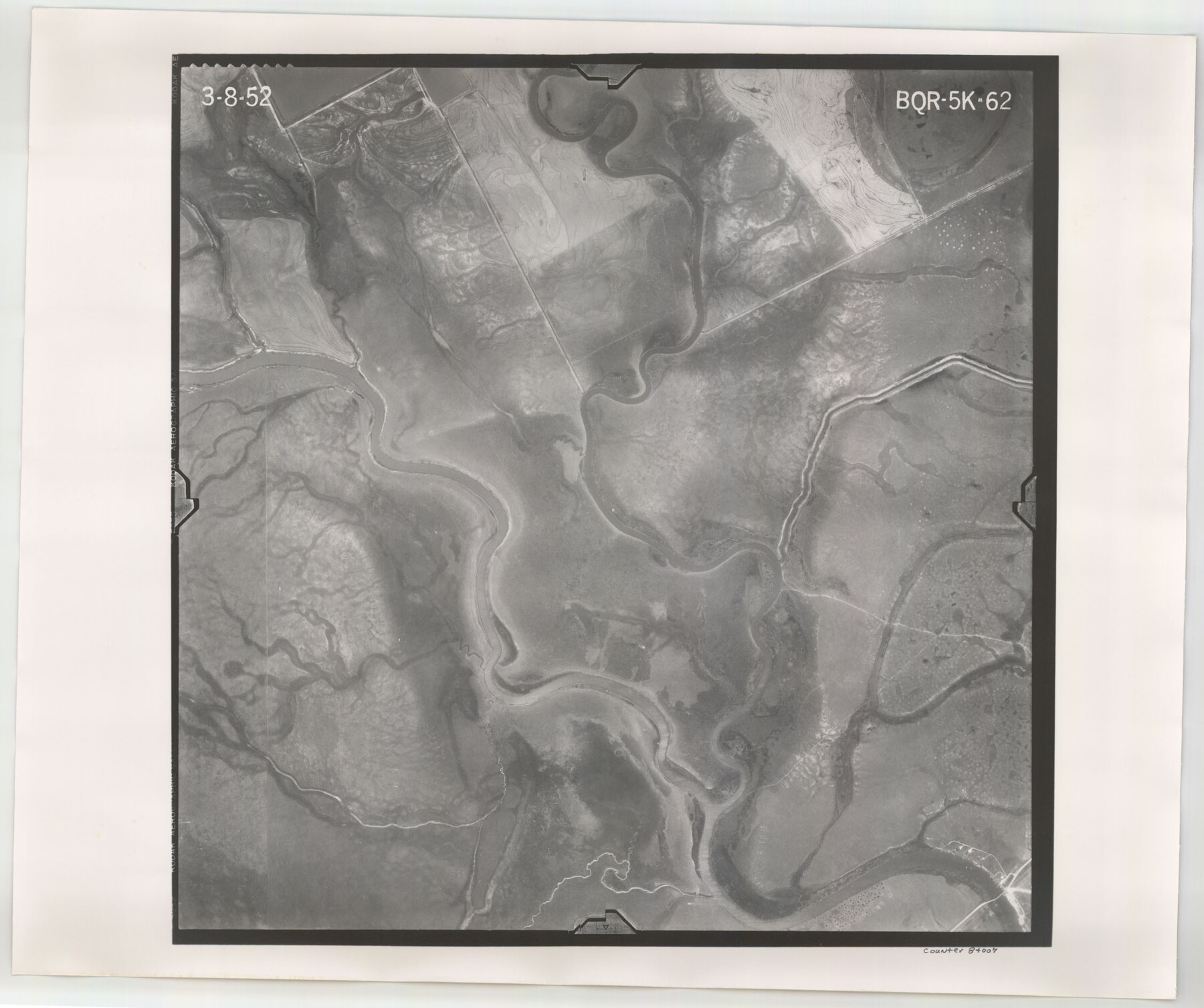
Flight Mission No. BQR-5K, Frame 62, Brazoria County
BQR-5K-62
-
Map/Doc
84007
-
Collection
General Map Collection
-
Object Dates
1952/3/8 (Creation Date)
-
People and Organizations
U. S. Department of Agriculture (Publisher)
-
Counties
Brazoria
-
Subjects
Aerial Photograph
-
Height x Width
18.9 x 22.6 inches
48.0 x 57.4 cm
-
Comments
Flown by Aero Exploration Company of Tulsa, Oklahoma.
Part of: General Map Collection
DeWitt County Sketch File 4

Print $4.00
- Digital $50.00
DeWitt County Sketch File 4
1872
Size 8.3 x 13.1 inches
Map/Doc 20801
Montague County

Print $20.00
- Digital $50.00
Montague County
1924
Size 46.9 x 33.7 inches
Map/Doc 73243
Presidio County Rolled Sketch 22

Print $20.00
- Digital $50.00
Presidio County Rolled Sketch 22
1885
Size 37.7 x 28.7 inches
Map/Doc 7331
Flight Mission No. CRK-3P, Frame 67, Refugio County

Print $20.00
- Digital $50.00
Flight Mission No. CRK-3P, Frame 67, Refugio County
1956
Size 18.5 x 22.3 inches
Map/Doc 86909
Flight Mission No. DQN-2K, Frame 26, Calhoun County

Print $20.00
- Digital $50.00
Flight Mission No. DQN-2K, Frame 26, Calhoun County
1953
Size 18.6 x 22.2 inches
Map/Doc 84233
Fort Bend County Rolled Sketch 5

Print $20.00
- Digital $50.00
Fort Bend County Rolled Sketch 5
1956
Size 34.6 x 33.5 inches
Map/Doc 5895
Tarrant County Sketch File 14

Print $7.00
- Digital $50.00
Tarrant County Sketch File 14
1859
Size 10.2 x 8.4 inches
Map/Doc 37705
Map of Zapata County

Print $20.00
- Digital $50.00
Map of Zapata County
1879
Size 27.4 x 25.6 inches
Map/Doc 4176
Hopkins County Boundary File 3

Print $46.00
- Digital $50.00
Hopkins County Boundary File 3
Size 8.2 x 3.8 inches
Map/Doc 55059
Sutton County Sketch File 28

Print $46.00
- Digital $50.00
Sutton County Sketch File 28
1934
Size 37.2 x 17.9 inches
Map/Doc 12385
Flight Mission No. DQO-6K, Frame 33, Galveston County

Print $20.00
- Digital $50.00
Flight Mission No. DQO-6K, Frame 33, Galveston County
1952
Size 18.8 x 22.4 inches
Map/Doc 85099
Bandera County Rolled Sketch 2

Print $20.00
- Digital $50.00
Bandera County Rolled Sketch 2
1945
Size 19.1 x 24.0 inches
Map/Doc 5114
You may also like
[Surveys along Halls Creek and Troublesome Creek]
![90934, [Surveys along Halls Creek and Troublesome Creek], Twichell Survey Records](https://historictexasmaps.com/wmedia_w700/maps/90934-1.tif.jpg)
Print $20.00
- Digital $50.00
[Surveys along Halls Creek and Troublesome Creek]
Size 34.1 x 28.6 inches
Map/Doc 90934
Harris County Rolled Sketch 65

Print $40.00
- Digital $50.00
Harris County Rolled Sketch 65
1922
Size 41.6 x 68.5 inches
Map/Doc 9128
Shackelford County Working Sketch 12

Print $20.00
- Digital $50.00
Shackelford County Working Sketch 12
1998
Size 27.0 x 22.3 inches
Map/Doc 63852
[Corpus Christi Bay, Padre Island, Mustang Island, Laguna de la Madre, King and Kenedy's Pasture]
![73041, [Corpus Christi Bay, Padre Island, Mustang Island, Laguna de la Madre, King and Kenedy's Pasture], General Map Collection](https://historictexasmaps.com/wmedia_w700/maps/73041.tif.jpg)
Print $20.00
- Digital $50.00
[Corpus Christi Bay, Padre Island, Mustang Island, Laguna de la Madre, King and Kenedy's Pasture]
Size 26.2 x 18.1 inches
Map/Doc 73041
Brooks County Rolled Sketch 7

Print $20.00
- Digital $50.00
Brooks County Rolled Sketch 7
1916
Size 28.5 x 30.4 inches
Map/Doc 5336
Freestone County Sketch File 6

Print $4.00
- Digital $50.00
Freestone County Sketch File 6
1858
Size 10.3 x 8.8 inches
Map/Doc 23050
Map of Oakhurst

Print $20.00
- Digital $50.00
Map of Oakhurst
1899
Size 23.0 x 32.9 inches
Map/Doc 7556


Flight Mission No. CUG-3P, Frame 133, Kleberg County

Print $20.00
- Digital $50.00
Flight Mission No. CUG-3P, Frame 133, Kleberg County
1956
Size 18.7 x 22.2 inches
Map/Doc 86268
Kent County Working Sketch 1

Print $20.00
- Digital $50.00
Kent County Working Sketch 1
1930
Size 29.9 x 24.8 inches
Map/Doc 70007
