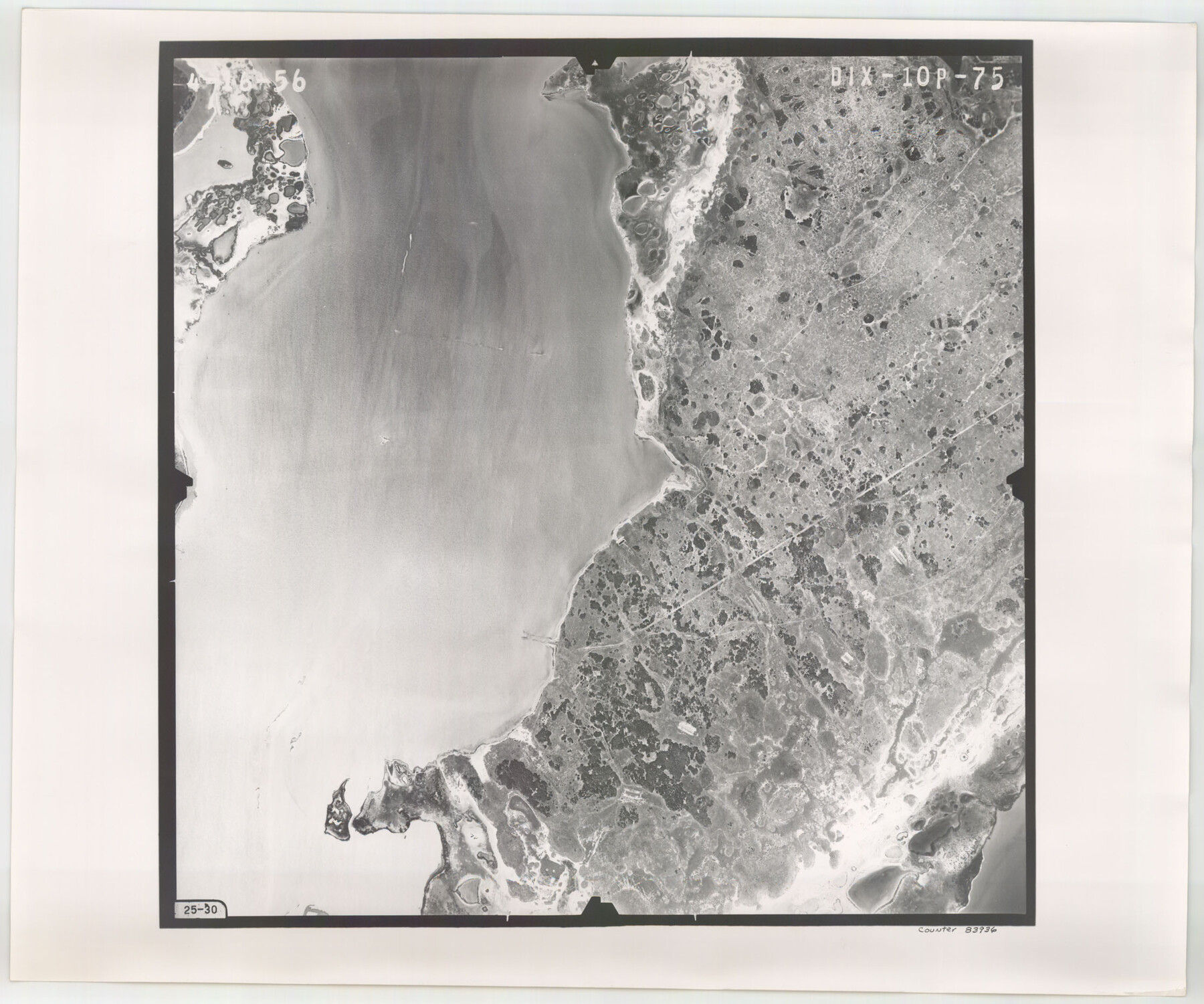
Flight Mission No. DIX-10P, Frame 75, Aransas County
DIX-10P-75
-
Map/Doc
83936
-
Collection
General Map Collection
-
Object Dates
1956/4/16 (Creation Date)
-
People and Organizations
U. S. Department of Agriculture (Publisher)
-
Counties
Aransas
-
Subjects
Aerial Photograph
-
Height x Width
18.6 x 22.3 inches
47.2 x 56.6 cm
-
Comments
Flown by V. L. Beavers and Associates of San Antonio, Texas.
Part of: General Map Collection
Crosby County Sketch File 26

Print $28.00
- Digital $50.00
Crosby County Sketch File 26
1888
Size 14.1 x 8.6 inches
Map/Doc 20098
Atascosa County Rolled Sketch 25

Print $20.00
- Digital $50.00
Atascosa County Rolled Sketch 25
Size 25.2 x 20.5 inches
Map/Doc 93551
Flight Mission No. DQO-8K, Frame 135, Galveston County

Print $20.00
- Digital $50.00
Flight Mission No. DQO-8K, Frame 135, Galveston County
1952
Size 18.7 x 22.5 inches
Map/Doc 85200
Pecos County Sketch File 98

Print $6.00
- Digital $50.00
Pecos County Sketch File 98
1957
Size 11.3 x 17.2 inches
Map/Doc 34002
Glasscock County

Print $20.00
- Digital $50.00
Glasscock County
1899
Size 44.2 x 35.5 inches
Map/Doc 4957
Hutchinson County Sketch File 4

Print $32.00
- Digital $50.00
Hutchinson County Sketch File 4
1890
Size 14.2 x 8.7 inches
Map/Doc 27179
Orange County Sabine River Leases 1,2,3,4

Print $20.00
- Digital $50.00
Orange County Sabine River Leases 1,2,3,4
1950
Size 36.5 x 22.4 inches
Map/Doc 1931
Medina County Working Sketch 4

Print $40.00
- Digital $50.00
Medina County Working Sketch 4
1945
Size 52.6 x 35.5 inches
Map/Doc 70919
Travis County Appraisal District Plat Map 2_2105

Print $20.00
- Digital $50.00
Travis County Appraisal District Plat Map 2_2105
Size 21.6 x 26.5 inches
Map/Doc 94200
St. L. S-W. Ry. of Texas Map of Lufkin Branch in Cherokee County Texas

Print $40.00
- Digital $50.00
St. L. S-W. Ry. of Texas Map of Lufkin Branch in Cherokee County Texas
1912
Size 23.3 x 122.0 inches
Map/Doc 64020

Flight Mission No. DQN-7K, Frame 6, Calhoun County

Print $20.00
- Digital $50.00
Flight Mission No. DQN-7K, Frame 6, Calhoun County
1953
Size 18.8 x 22.4 inches
Map/Doc 84457
You may also like
Kinney County

Print $40.00
- Digital $50.00
Kinney County
1955
Size 51.9 x 48.2 inches
Map/Doc 95559
Jackson County Rolled Sketch 11

Print $20.00
- Digital $50.00
Jackson County Rolled Sketch 11
1941
Size 45.9 x 34.3 inches
Map/Doc 9260
Sketch Showing Lands Conveyed to Texas State Park Board by the City of Lubbock, Texas for the Location of MacKenzie State Park

Print $20.00
- Digital $50.00
Sketch Showing Lands Conveyed to Texas State Park Board by the City of Lubbock, Texas for the Location of MacKenzie State Park
1935
Size 26.4 x 33.1 inches
Map/Doc 92724
Webb County Rolled Sketch 59

Print $20.00
- Digital $50.00
Webb County Rolled Sketch 59
1947
Size 15.3 x 26.7 inches
Map/Doc 8210
Amistad International Reservoir on Rio Grande 76

Print $20.00
- Digital $50.00
Amistad International Reservoir on Rio Grande 76
1949
Size 28.5 x 40.2 inches
Map/Doc 75504
[Southeast Yoakum County, Southwest Terry County and North Gaines County]
![91876, [Southeast Yoakum County, Southwest Terry County and North Gaines County], Twichell Survey Records](https://historictexasmaps.com/wmedia_w700/maps/91876-1.tif.jpg)
Print $20.00
- Digital $50.00
[Southeast Yoakum County, Southwest Terry County and North Gaines County]
Size 20.7 x 16.6 inches
Map/Doc 91876
Kleberg County Rolled Sketch 10-4

Print $20.00
- Digital $50.00
Kleberg County Rolled Sketch 10-4
1951
Size 36.8 x 31.5 inches
Map/Doc 9378
Flight Mission No. BRA-6M, Frame 81, Jefferson County

Print $20.00
- Digital $50.00
Flight Mission No. BRA-6M, Frame 81, Jefferson County
1953
Size 18.6 x 22.6 inches
Map/Doc 85425
Fannin County Rolled Sketch 22

Print $20.00
- Digital $50.00
Fannin County Rolled Sketch 22
Size 19.1 x 20.7 inches
Map/Doc 5875
Bowie County Working Sketch 27

Print $20.00
- Digital $50.00
Bowie County Working Sketch 27
1987
Size 39.1 x 33.8 inches
Map/Doc 67431

Wheeler County Working Sketch 10

Print $40.00
- Digital $50.00
Wheeler County Working Sketch 10
1973
Size 72.4 x 36.6 inches
Map/Doc 72499