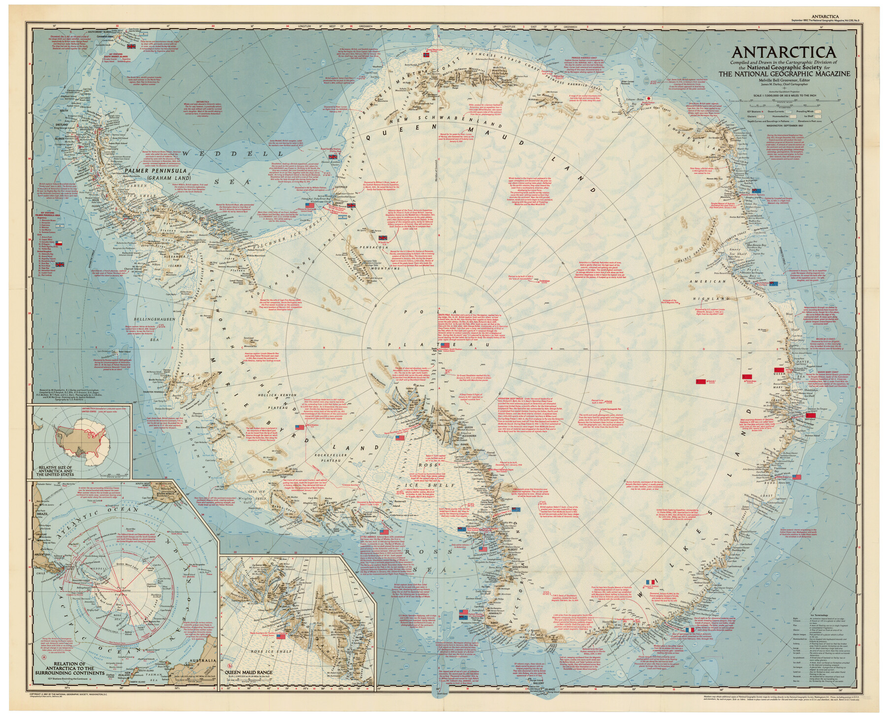
Antarctica
-
Map/Doc
92433
-
Collection
Twichell Survey Records
-
Object Dates
9/1957 (Creation Date)
-
People and Organizations
National Geographic Society (Compiler)
-
Subjects
Curiosities
-
Height x Width
36.6 x 29.6 inches
93.0 x 75.2 cm
-
Comments
For research only. Not available for duplication from the GLO.
Part of: Twichell Survey Records
Map showing lands surveyed by Sylvan Sanders in the Southwestern Part of Jack County, Texas for Buttram Petroleum Corporation


Print $20.00
- Digital $50.00
Map showing lands surveyed by Sylvan Sanders in the Southwestern Part of Jack County, Texas for Buttram Petroleum Corporation
1926
Size 29.3 x 25.6 inches
Map/Doc 92159
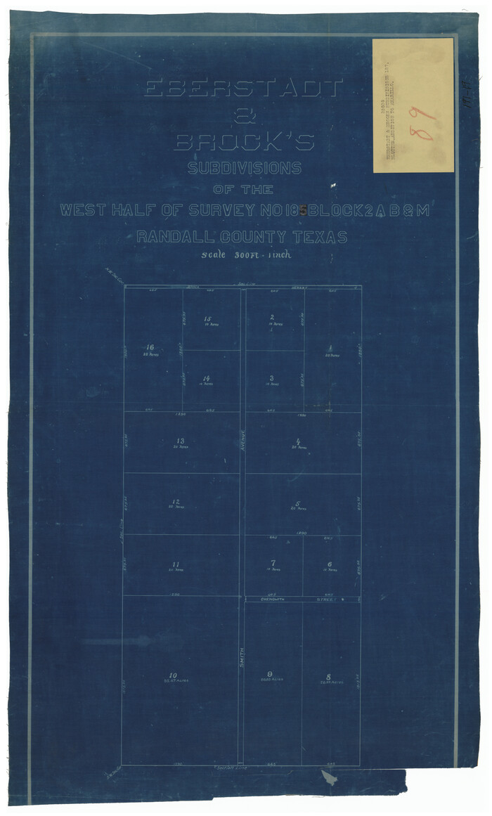
Eberstadt and Brock's Subdivisions of the West Half of Survey 187 Block 2 A. B. & M., Randall County Texas

Print $20.00
- Digital $50.00
Eberstadt and Brock's Subdivisions of the West Half of Survey 187 Block 2 A. B. & M., Randall County Texas
Size 17.7 x 29.6 inches
Map/Doc 91748
[J. E. and J. W. Rhea's Ranch situated in Parmer Co., Texas]
![91652, [J. E. and J. W. Rhea's Ranch situated in Parmer Co., Texas], Twichell Survey Records](https://historictexasmaps.com/wmedia_w700/maps/91652-1.tif.jpg)
![91652, [J. E. and J. W. Rhea's Ranch situated in Parmer Co., Texas], Twichell Survey Records](https://historictexasmaps.com/wmedia_w700/maps/91652-1.tif.jpg)
Print $20.00
- Digital $50.00
[J. E. and J. W. Rhea's Ranch situated in Parmer Co., Texas]
Size 23.2 x 25.8 inches
Map/Doc 91652
Sheet 5 copied from Champlin Book 5 [Strip Map showing T. & P. connecting lines]
![93180, Sheet 5 copied from Champlin Book 5 [Strip Map showing T. & P. connecting lines], Twichell Survey Records](https://historictexasmaps.com/wmedia_w700/maps/93180-1.tif.jpg)
![93180, Sheet 5 copied from Champlin Book 5 [Strip Map showing T. & P. connecting lines], Twichell Survey Records](https://historictexasmaps.com/wmedia_w700/maps/93180-1.tif.jpg)
Print $40.00
- Digital $50.00
Sheet 5 copied from Champlin Book 5 [Strip Map showing T. & P. connecting lines]
1909
Size 7.9 x 75.6 inches
Map/Doc 93180
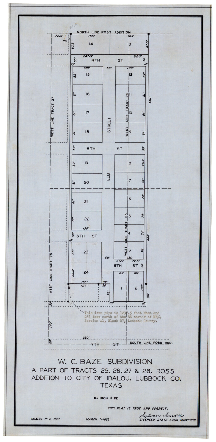
W. C. Baze Subdivision a part of Tracts 25, 26, 27 and 28, Ross Addition to City of Idalou, Lubbock Co.

Print $20.00
- Digital $50.00
W. C. Baze Subdivision a part of Tracts 25, 26, 27 and 28, Ross Addition to City of Idalou, Lubbock Co.
1955
Size 9.2 x 18.9 inches
Map/Doc 92761
[Marion County School Land, Jack County School Land, Abel A. Lewis and other surveys in vicinity]
![90427, [Marion County School Land, Jack County School Land, Abel A. Lewis and other surveys in vicinity], Twichell Survey Records](https://historictexasmaps.com/wmedia_w700/maps/90427-1.tif.jpg)
![90427, [Marion County School Land, Jack County School Land, Abel A. Lewis and other surveys in vicinity], Twichell Survey Records](https://historictexasmaps.com/wmedia_w700/maps/90427-1.tif.jpg)
Print $20.00
- Digital $50.00
[Marion County School Land, Jack County School Land, Abel A. Lewis and other surveys in vicinity]
Size 22.0 x 25.1 inches
Map/Doc 90427
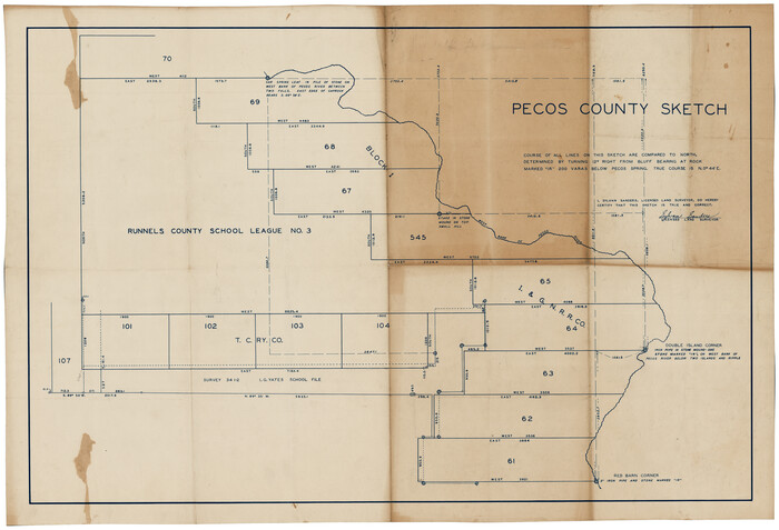
Pecos County Sketch

Print $20.00
- Digital $50.00
Pecos County Sketch
Size 34.2 x 23.2 inches
Map/Doc 92915
[Northwest part of County]
![90616, [Northwest part of County], Twichell Survey Records](https://historictexasmaps.com/wmedia_w700/maps/90616-1.tif.jpg)
![90616, [Northwest part of County], Twichell Survey Records](https://historictexasmaps.com/wmedia_w700/maps/90616-1.tif.jpg)
Print $20.00
- Digital $50.00
[Northwest part of County]
Size 17.4 x 22.5 inches
Map/Doc 90616
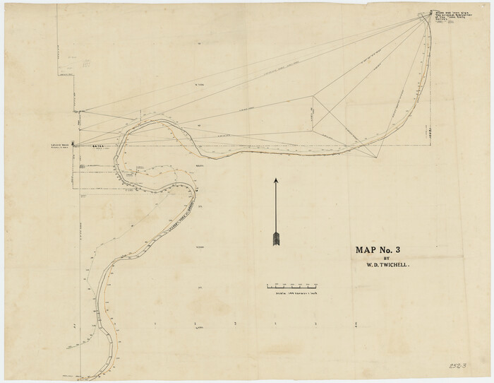
Map No. 3 by W. D. Twichell

Print $20.00
- Digital $50.00
Map No. 3 by W. D. Twichell
Size 42.5 x 32.9 inches
Map/Doc 89710
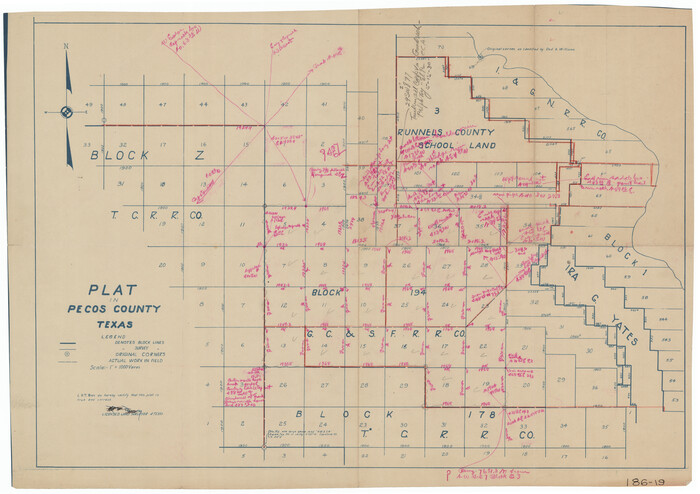
Plat in Pecos County, Texas

Print $20.00
- Digital $50.00
Plat in Pecos County, Texas
Size 33.2 x 23.1 inches
Map/Doc 91601
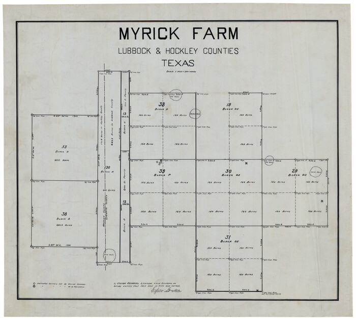
Myrick Farm Lubbock & Hockley Counties

Print $20.00
- Digital $50.00
Myrick Farm Lubbock & Hockley Counties
Size 21.1 x 18.8 inches
Map/Doc 92831
[Sketch showing unsurveyed land in West Texas as of 1902]
![89937, [Sketch showing unsurveyed land in West Texas as of 1902], Twichell Survey Records](https://historictexasmaps.com/wmedia_w700/maps/89937-1.tif.jpg)
![89937, [Sketch showing unsurveyed land in West Texas as of 1902], Twichell Survey Records](https://historictexasmaps.com/wmedia_w700/maps/89937-1.tif.jpg)
Print $20.00
- Digital $50.00
[Sketch showing unsurveyed land in West Texas as of 1902]
Size 42.0 x 34.0 inches
Map/Doc 89937
You may also like
Childress County Rolled Sketch 18


Print $20.00
- Digital $50.00
Childress County Rolled Sketch 18
1913
Size 17.6 x 39.0 inches
Map/Doc 5451
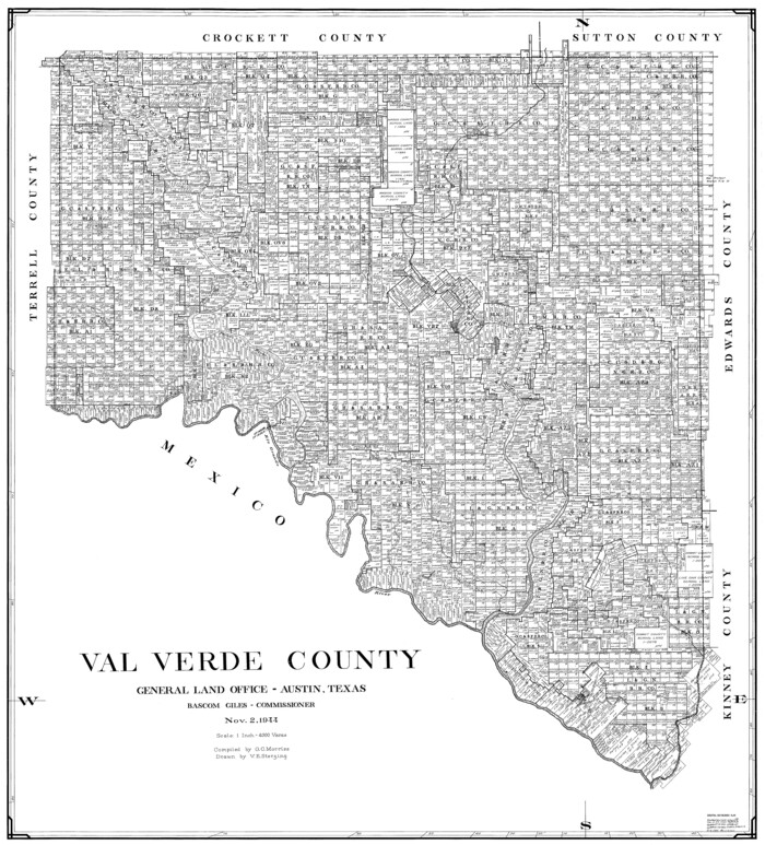
Val Verde County

Print $20.00
- Digital $50.00
Val Verde County
1944
Size 40.0 x 36.2 inches
Map/Doc 77445
Lynn County Sketch File 15


Print $34.00
- Digital $50.00
Lynn County Sketch File 15
Size 14.2 x 8.7 inches
Map/Doc 30497
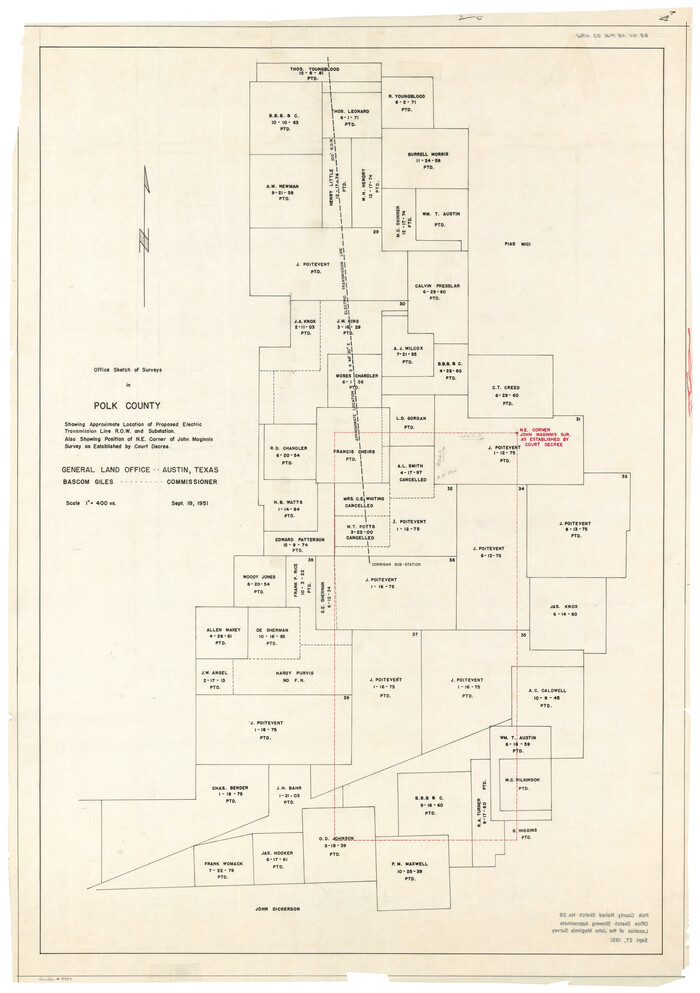
Polk County Rolled Sketch 28

Print $20.00
- Digital $50.00
Polk County Rolled Sketch 28
1951
Size 45.4 x 32.0 inches
Map/Doc 9757
Brewster County Rolled Sketch 100

Print $133.00
- Digital $50.00
Brewster County Rolled Sketch 100
1893
Size 10.1 x 15.4 inches
Map/Doc 43055
[H. & T. C. Block 47 and part of G. & M. Block 3]
![91817, [H. & T. C. Block 47 and part of G. & M. Block 3], Twichell Survey Records](https://historictexasmaps.com/wmedia_w700/maps/91817-1.tif.jpg)
![91817, [H. & T. C. Block 47 and part of G. & M. Block 3], Twichell Survey Records](https://historictexasmaps.com/wmedia_w700/maps/91817-1.tif.jpg)
Print $20.00
- Digital $50.00
[H. & T. C. Block 47 and part of G. & M. Block 3]
Size 29.4 x 27.9 inches
Map/Doc 91817
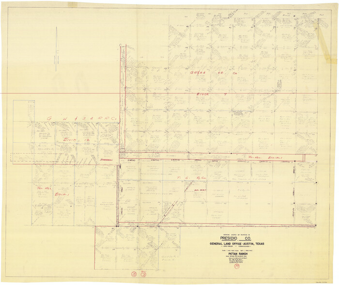
Presidio County Working Sketch 79

Print $40.00
- Digital $50.00
Presidio County Working Sketch 79
1966
Size 42.4 x 50.5 inches
Map/Doc 71756
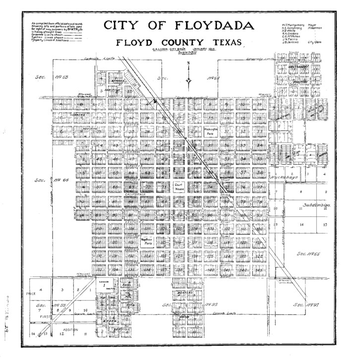
Floyd County Sketch File 29

Print $20.00
- Digital $50.00
Floyd County Sketch File 29
Size 17.0 x 16.5 inches
Map/Doc 11488
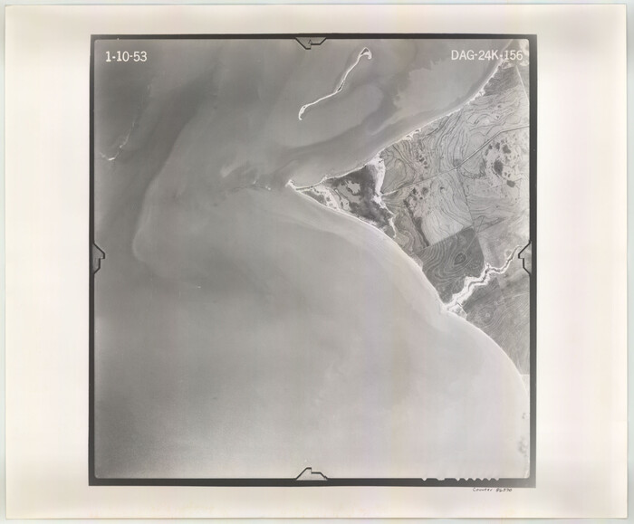
Flight Mission No. DAG-24K, Frame 156, Matagorda County

Print $20.00
- Digital $50.00
Flight Mission No. DAG-24K, Frame 156, Matagorda County
1953
Size 18.4 x 22.3 inches
Map/Doc 86570
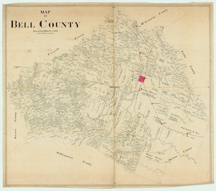
Map of Bell County

Print $40.00
- Digital $50.00
Map of Bell County
1896
Size 48.1 x 54.4 inches
Map/Doc 82066
