Current Miscellaneous File 119
German Script and The English Equivalents
-
Map/Doc
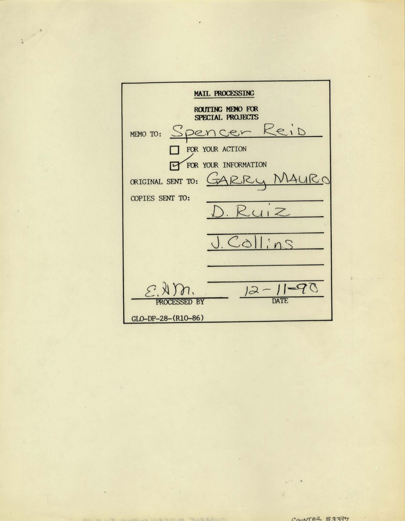
83397
-
Collection
General Map Collection
-
Object Dates
1990/12/11 (Creation Date)
2005/11/29 (File Date)
-
People and Organizations
Texas General Land Office (Publisher)
Texas General Land Office (Printer)
Garry Mauro (GLO Commissioner)
E.H.M. (Author)
-
Subjects
Curiosities
-
Height x Width
8.5 x 10.9 inches
21.6 x 27.7 cm
Part of: General Map Collection
Fayette County Boundary File 6

Print $20.00
- Digital $50.00
Fayette County Boundary File 6
Size 14.4 x 9.0 inches
Map/Doc 53391
Culberson County Rolled Sketch 36

Print $20.00
- Digital $50.00
Culberson County Rolled Sketch 36
1934
Size 32.5 x 23.2 inches
Map/Doc 8750
Jasper County Boundary File 4a

Print $20.00
- Digital $50.00
Jasper County Boundary File 4a
Size 36.6 x 17.6 inches
Map/Doc 55491
Map of the State of Texas

Print $40.00
- Digital $50.00
Map of the State of Texas
1879
Size 102.3 x 57.5 inches
Map/Doc 93385
United States - Gulf Coast Texas - Northern part of Laguna Madre

Print $20.00
- Digital $50.00
United States - Gulf Coast Texas - Northern part of Laguna Madre
1923
Size 26.6 x 18.3 inches
Map/Doc 72931
Tyler County Sketch File 27

Print $6.00
- Digital $50.00
Tyler County Sketch File 27
1956
Size 14.5 x 8.8 inches
Map/Doc 38696

Crockett County Rolled Sketch 80

Print $40.00
- Digital $50.00
Crockett County Rolled Sketch 80
1954
Size 24.8 x 55.5 inches
Map/Doc 8725
Hardin County Sketch File 49

Print $4.00
- Digital $50.00
Hardin County Sketch File 49
1904
Size 14.5 x 8.8 inches
Map/Doc 25202
Zavala County Sketch File 15a

Print $6.00
- Digital $50.00
Zavala County Sketch File 15a
1886
Size 14.4 x 9.0 inches
Map/Doc 41321
Township No. 2 South Range No. 24 West of the Indian Meridian

Print $20.00
- Digital $50.00
Township No. 2 South Range No. 24 West of the Indian Meridian
1875
Size 19.3 x 24.4 inches
Map/Doc 75174
Falls County State Real Property Sketch 1

Print $40.00
- Digital $50.00
Falls County State Real Property Sketch 1
1999
Size 23.6 x 23.5 inches
Map/Doc 61669
You may also like
Map of Fisher & Miller's Colony made from the records in the office of the District Surveyor of Bexar comprising also all the recent surveys

Print $20.00
- Digital $50.00
Map of Fisher & Miller's Colony made from the records in the office of the District Surveyor of Bexar comprising also all the recent surveys
1855
Size 22.6 x 36.2 inches
Map/Doc 633
Padilla and Chambers Empresario Colony. February 12, 1830

Print $20.00
Padilla and Chambers Empresario Colony. February 12, 1830
2020
Size 14.7 x 21.7 inches
Map/Doc 96002
Archer County Boundary File 3

Print $54.00
- Digital $50.00
Archer County Boundary File 3
Size 9.3 x 7.3 inches
Map/Doc 50094
Flight Mission No. CRE-2R, Frame 82, Jackson County

Print $20.00
- Digital $50.00
Flight Mission No. CRE-2R, Frame 82, Jackson County
1956
Size 16.0 x 15.9 inches
Map/Doc 85354
[Part of North line of County, North of Block G]
![90805, [Part of North line of County, North of Block G], Twichell Survey Records](https://historictexasmaps.com/wmedia_w700/maps/90805-1.tif.jpg)
Print $20.00
- Digital $50.00
[Part of North line of County, North of Block G]
Size 17.6 x 12.1 inches
Map/Doc 90805
Nueces County Rolled Sketch 30

Print $40.00
- Digital $50.00
Nueces County Rolled Sketch 30
1952
Size 60.3 x 38.9 inches
Map/Doc 9598
[Pecos and Northern Texas Ry., Bailey Co., from Parmer Co. line through Lariat and Muleshoe to Lamb Co. line]
![64636, [Pecos and Northern Texas Ry., Bailey Co., from Parmer Co. line through Lariat and Muleshoe to Lamb Co. line], General Map Collection](https://historictexasmaps.com/wmedia_w700/maps/64636.tif.jpg)
Print $40.00
- Digital $50.00
[Pecos and Northern Texas Ry., Bailey Co., from Parmer Co. line through Lariat and Muleshoe to Lamb Co. line]
1912
Size 20.3 x 121.9 inches
Map/Doc 64636
Knox County Rolled Sketch 11

Print $20.00
- Digital $50.00
Knox County Rolled Sketch 11
Size 24.4 x 17.3 inches
Map/Doc 6557
Flight Mission No. CGI-1N, Frame 171, Cameron County

Print $20.00
- Digital $50.00
Flight Mission No. CGI-1N, Frame 171, Cameron County
1955
Size 18.5 x 22.2 inches
Map/Doc 84506
Flight Mission No. CRC-2R, Frame 1, Chambers County

Print $20.00
- Digital $50.00
Flight Mission No. CRC-2R, Frame 1, Chambers County
1956
Size 18.7 x 22.5 inches
Map/Doc 84720
[T. & P. Blocks 32-36, Townships 3N, 4N and 5N]
![90630, [T. & P. Blocks 32-36, Townships 3N, 4N and 5N], Twichell Survey Records](https://historictexasmaps.com/wmedia_w700/maps/90630.tif.jpg)
Print $20.00
- Digital $50.00
[T. & P. Blocks 32-36, Townships 3N, 4N and 5N]
Size 35.5 x 24.6 inches
Map/Doc 90630
Harrison County Working Sketch 26

Print $20.00
- Digital $50.00
Harrison County Working Sketch 26
1986
Size 38.4 x 30.0 inches
Map/Doc 66046